American River

American River
- Boat Ramps
- 14
- Access Points
- 18
- Campsites
- 9
The American River is a renowned waterway in Northern California, originating in the Sierra Nevada mountains and flowing westward to join the Sacramento River. This diverse river system consists of three main forks - the North, Middle, and South - each offering unique paddling experiences through scenic canyons and foothills.
The South Fork is the most popular for whitewater recreation, featuring over 20 miles of rapids ranging from Class II to IV. The upper section from Chili Bar to Coloma offers exciting Class III whitewater, while the lower "Gorge" run provides a mix of calm stretches and thrilling rapids like Satan's Cesspool. Beginner-friendly sections can be found near Coloma, making the South Fork suitable for a wide range of skill levels.
The Middle Fork presents a more challenging adventure with its Class IV rapids, including the famous Tunnel Chute where the river flows through an old mining tunnel. This 18-mile stretch from Oxbow to Greenwood Bridge offers a true wilderness experience and is best suited for intermediate to advanced paddlers.
For expert kayakers and rafters, the North Fork provides intense Class IV-V whitewater through the stunning Giant Gap and Chamberlain Falls sections. These remote runs require technical skills and often involve hiking to access points.
The paddling season typically runs from April to September, with the best flows occurring during spring snowmelt. Summer releases from upstream dams ensure consistent water levels on many sections, particularly the South Fork.
The river corridor supports diverse ecosystems, from pine forests to oak woodlands, providing habitat for wildlife such as bald eagles, river otters, and black bears. The American River Parkway near Sacramento offers opportunities to spot various bird species along the lower sections.
Historical sites dot the riverbanks, most notably in the Coloma area where gold was discovered in 1848, sparking the California Gold Rush. Remnants of mining operations can still be seen along certain stretches.
Popular multi-day trips combine different sections of the forks, allowing paddlers to experience varied terrain and difficulty levels. Nearby towns like Auburn, Coloma, and Lotus serve as bases for river adventures, offering camping, lodging, and outfitting services.
Safety considerations include proper equipment, awareness of rapid classifications, and checking current flow levels. Some sections require permits or have specific regulations, especially in the more remote areas.
From leisurely floats to heart-pounding rapids, the American River system offers a paddling experience for everyone, set against the backdrop of California's stunning Sierra Nevada foothills.
Water access, boat ramps & amenities
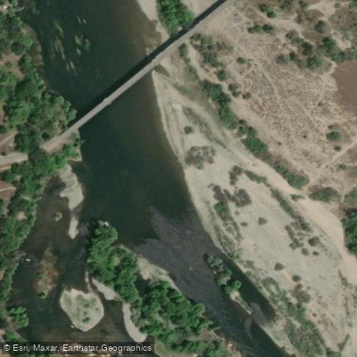
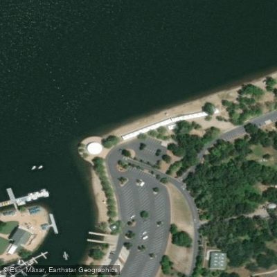
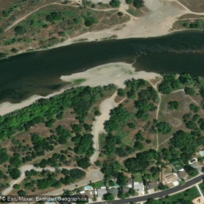
Learn how to get on American River. Uncover great paddling access points, boat ramps, and all the facilities you need for an unforgettable day on the water. Some locations shown may border or include private property. Always check property boundaries and applicable regulations before visiting. PaddleWays's Public & Private Land layer can help you plan your access with confidence.
Paddle smarter with real-time insights
Whether you're en route and conditions shift or you're looking for the best spot based on current flows, we enable you to make informed decisions on the fly.








Find Places to Paddle

Over 400,000 Places to Paddle
Every user gets free access to launch points, boat ramps, and public property parcels.


Water and weather conditions (10 day forecast)
See the best times to paddle American River and check the forecast before you go.
AMERICAN R BL FOLSOM DAM NR FOLSOM CA
All Flow Stations
Paddling near American River
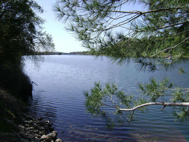
Lake Natoma
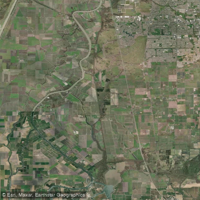
Snodgrass Slough
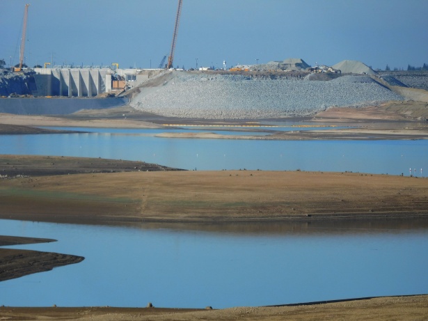
Folsom Lake

North Fork American River
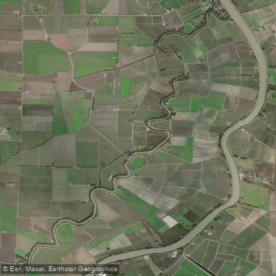
Elk Slough

Sacramento River
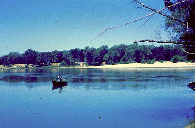
Feather River
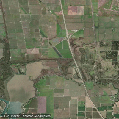
Lost Slough

Mokelumne River
Explore California waters
Top paddling waters
Popular Cities
Loading popular cities...
Explore near American River
Access points
Nearby waters
More in California

Smarter Paddling Starts in the App.
Paddleways gives you everything you need to plan smarter, paddle better, and own every trip from first launch to takeout.