Cebolla Creek
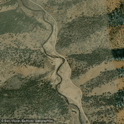
Cebolla Creek
- Boat Ramps
- 0
- Access Points
- 6
- Campsites
- 14
Cebolla Creek is a picturesque mountain stream in west-central Colorado, originating in the high country of northeast Hinsdale County. The creek flows northward for approximately 25 miles through the Uncompahgre National Forest before emptying into Blue Mesa Reservoir in Gunnison County. Along its course, Cebolla Creek runs parallel to the Lake Fork of the Gunnison River, dropping over 600 feet in elevation from its headwaters to the reservoir.
Paddlers can experience three distinct sections on Cebolla Creek, each offering unique challenges and scenery. The Upper Cebolla, above Spruce Campground, is a technical Class V run with several significant drops and ledges. This 2-mile stretch is suitable only for expert whitewater kayakers and requires careful scouting due to potential wood hazards. The Tomahawk Section, a short Class II-III run near the Tomahawk Guest Ranch, provides a more accessible option for intermediate paddlers. This scenic 1-mile stretch from above Cebolla Creek Campground to the campground itself offers a mix of riffles and small rapids set against a backdrop of Colorado's rugged mountains.
The longest and most popular section is the McCord Section, also known as the Main Section. This 14.5-mile stretch from Highway 149 to Blue Mesa Reservoir features Class II-III rapids, with a gradient of about 61 feet per mile in its lower half. The creek meanders through a variety of terrain, including riffle sections, pocket water, large boulders, and cut-banks, making it an excellent destination for both paddlers and anglers.
Cebolla Creek's paddling season typically runs from late spring through mid-summer, driven by snowmelt runoff. May and June often provide the most reliable water levels, though exact timing can vary based on snowpack and spring temperatures. The creek supports a healthy trout population, attracting fly fishermen to its clear waters. The surrounding forest is home to diverse wildlife, including mule deer, elk, and various bird species.
Paddlers should be aware of the potential for fallen trees and other natural obstacles, especially in less-frequented sections. Access to Cebolla Creek is primarily via Highway 149 and forest roads. The nearby towns of Lake City and Gunnison serve as good base camps for exploring the area. Campsites along the creek, including Cebolla Creek Campground, offer opportunities for multi-day adventures combining paddling, fishing, and hiking in the surrounding wilderness.
When planning a trip on Cebolla Creek, paddlers should be prepared for remote conditions and variable weather typical of Colorado's high country. While the lower sections are suitable for intermediate paddlers, all users should possess solid river reading skills and self-rescue abilities. As with all Colorado waterways, checking current conditions and respecting private property boundaries is essential for a safe and enjoyable experience on this gem of the Gunnison Basin.
Water access, boat ramps & amenities
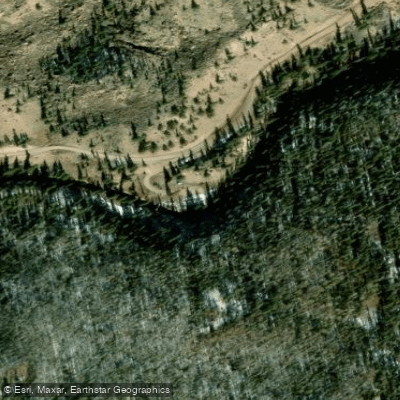
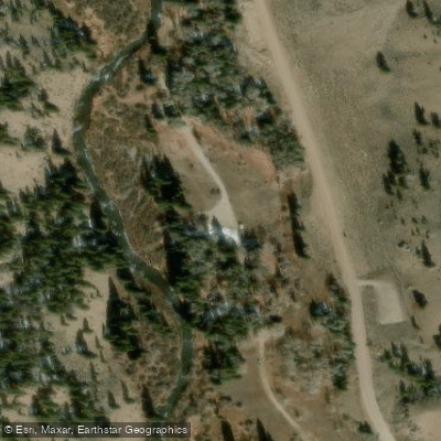
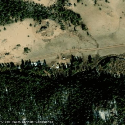
Learn how to get on Cebolla Creek. Uncover great paddling access points, boat ramps, and all the facilities you need for an unforgettable day on the water. Some locations shown may border or include private property. Always check property boundaries and applicable regulations before visiting. PaddleWays's Public & Private Land layer can help you plan your access with confidence.
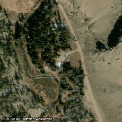
Paddle smarter with real-time insights
Whether you're en route and conditions shift or you're looking for the best spot based on current flows, we enable you to make informed decisions on the fly.








Find Places to Paddle

Over 400,000 Places to Paddle
Every user gets free access to launch points, boat ramps, and public property parcels.


Water and weather conditions (10 day forecast)
See the best times to paddle Cebolla Creek and check the forecast before you go.
No forecast data available.
Paddling near Cebolla Creek
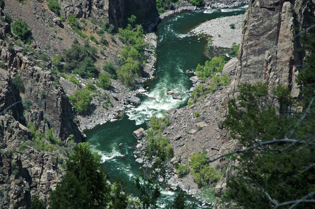
Gunnison River
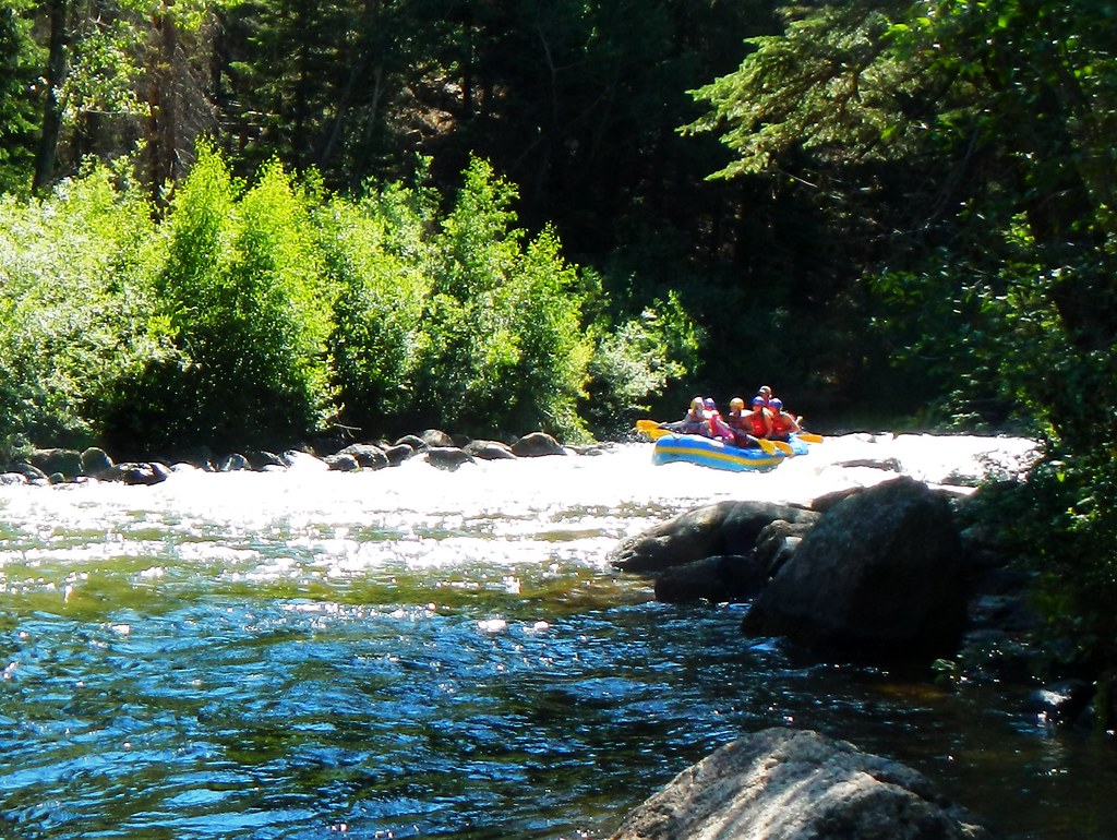
Taylor River
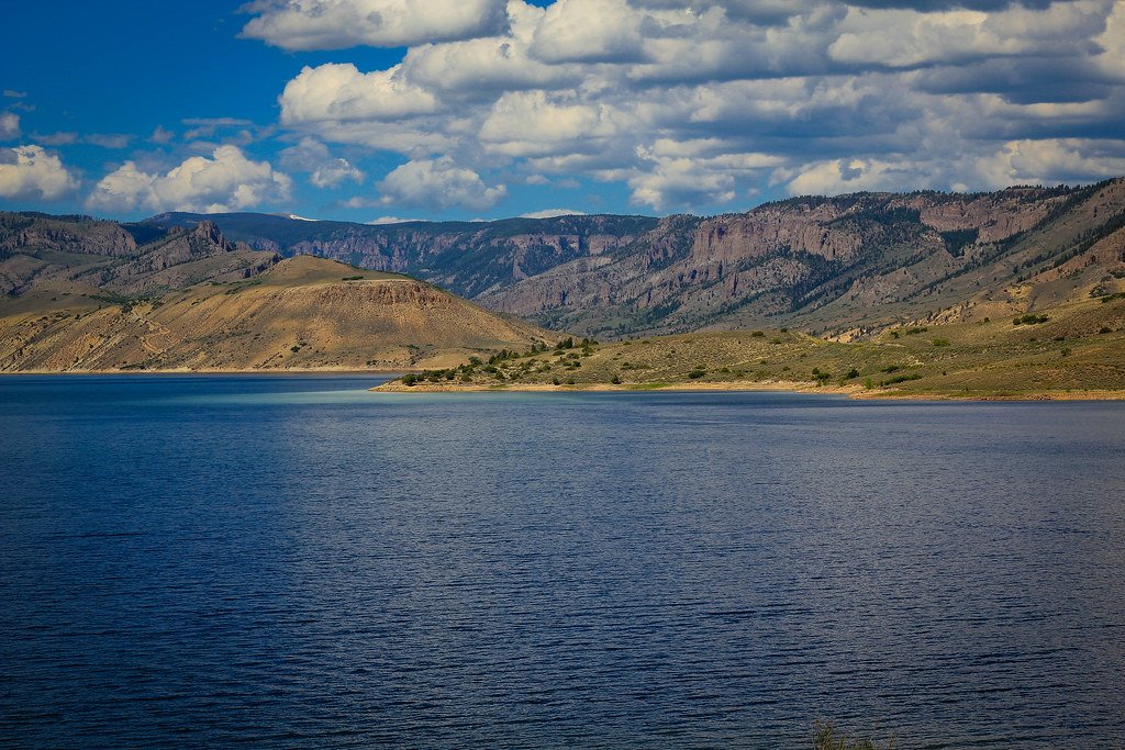
Blue Mesa Reservoir
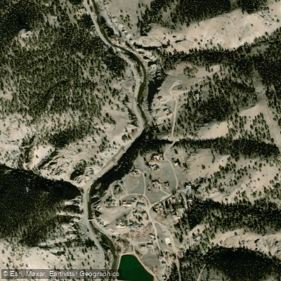
Lake Fork
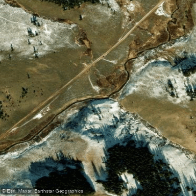
Spring Creek

Arkansas River
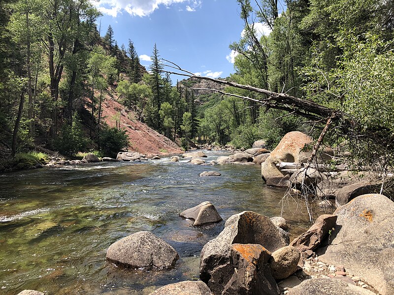
Roaring Fork River

Rio Grande
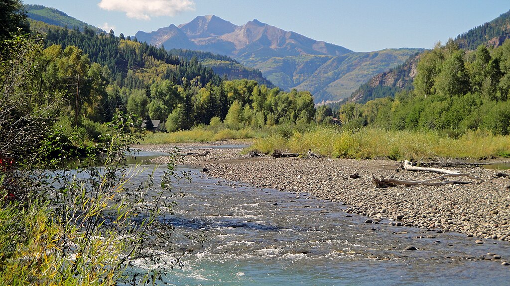
Crystal River
Chalk Creek
Explore Colorado waters
Top paddling waters
Popular Cities
Loading popular cities...
Explore near Cebolla Creek
Access points
- Cebolla Creek Hand Launch
- Cebolla Creek Campground Hand Launch
- Hidden Valley Tent Campground Access
- Mason Family Access
- Spruce Campground Access
- Mason Family Access
- Hidden Valley Tent Campground
- Cebolla Creek Campground
- Spruce Campground
- Mason Family State Wildlife Area Campground
- Cebolla Creek Campground
- Deer Lakes Campground
- All 20 spots
Nearby waters
More in Colorado

Smarter Paddling Starts in the App.
Paddleways gives you everything you need to plan smarter, paddle better, and own every trip from first launch to takeout.