Coal Creek
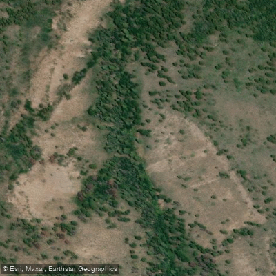
Coal Creek
- Boat Ramps
- 0
- Access Points
- 0
- Campsites
- 8
Coal Creek is a tributary of Anthracite Creek in western Colorado's Gunnison National Forest. Originating high in the West Elk Wilderness, this lively mountain stream flows northwest through rugged canyons before joining Anthracite Creek about a mile upstream of its confluence with the Muddy River. Coal Creek drains a significant portion of high alpine terrain, cutting through Mesa Verde sandstone formations as it descends.
Paddlers can experience two distinct sections on Coal Creek. The upper Sand Slide Canyon run offers challenging Class IV whitewater through a remote, forested gorge. This 5-mile stretch requires a hike to access and features fast, cold water with numerous rapids and potential wood hazards. The lower canyon provides a more moderate Class III experience over approximately 5 miles, ending near the Anthracite Creek confluence.
Coal Creek's difficulty ranges from Class III to Class IV, demanding solid whitewater skills and the ability to scout and portage obstacles. The creek's sticky sandstone can create challenging conditions at lower flows. The optimal paddling season is typically in May and early June during spring snowmelt. Paddlers use the Anthracite Creek gauge as a proxy, with Coal Creek contributing 40-60% of the total flow. A minimum of 700 cfs on the Anthracite gauge is recommended, translating to 300-350 cfs in Coal Creek.
The surrounding ecosystem is dominated by spruce-fir forests typical of Colorado's high country. Wildlife in the area includes elk, mule deer, and various bird species adapted to mountain environments.
Key landmarks include the seasonal gate on Coal Creek Road (upper put-in), Erickson Springs, and the confluence with Anthracite Creek. The nearest towns are Somerset and Paonia, providing access to supplies and accommodations.
Coal Creek's watershed has historical significance related to coal mining in the region, as evidenced by its name. Today, it represents a pristine mountain stream within a wilderness area, offering adventurous paddlers a chance to explore a less-traveled waterway.
Safety considerations include cold water, potential strainers, and the remote nature of the runs. Paddlers should be prepared for self-rescue and carry appropriate safety gear. As the creek flows through National Forest land, standard regulations for wilderness areas apply.
While primarily used for day trips, multi-day adventures are possible by combining Coal Creek with runs on Anthracite Creek and the North Fork of the Gunnison River, allowing paddlers to experience a range of difficulty levels and scenery in this picturesque corner of western Colorado.
Water access, boat ramps & amenities
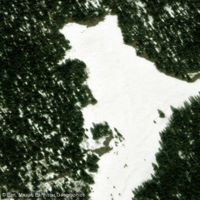
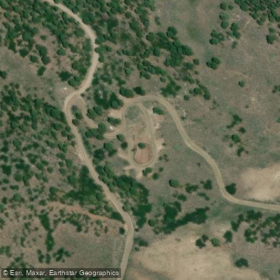
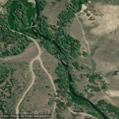
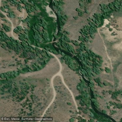
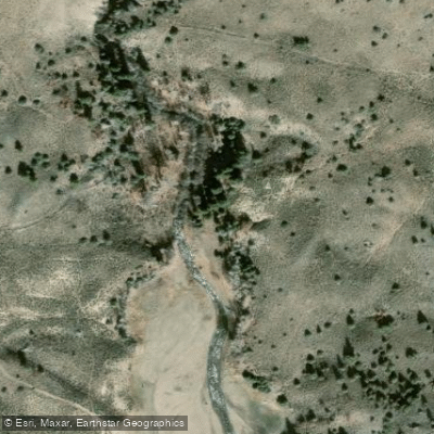
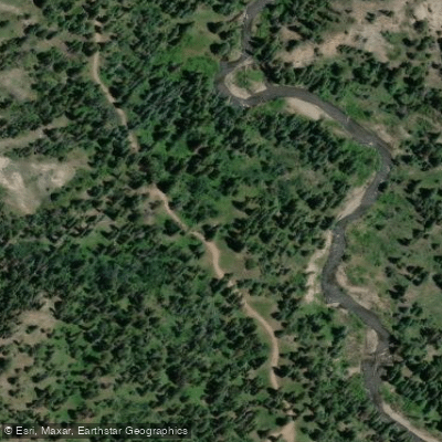
Learn how to get on Coal Creek. Uncover great paddling access points, boat ramps, and all the facilities you need for an unforgettable day on the water. Some locations shown may border or include private property. Always check property boundaries and applicable regulations before visiting. PaddleWays's Public & Private Land layer can help you plan your access with confidence.
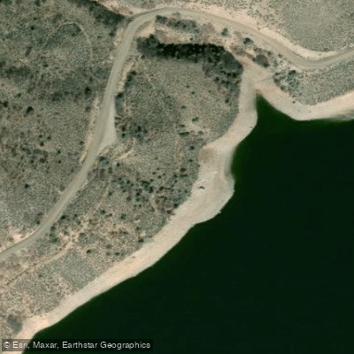
Paddle smarter with real-time insights
Whether you're en route and conditions shift or you're looking for the best spot based on current flows, we enable you to make informed decisions on the fly.








Find Places to Paddle

Over 400,000 Places to Paddle
Every user gets free access to launch points, boat ramps, and public property parcels.


Water and weather conditions (10 day forecast)
See the best times to paddle Coal Creek and check the forecast before you go.
No forecast data available.
Paddling near Coal Creek
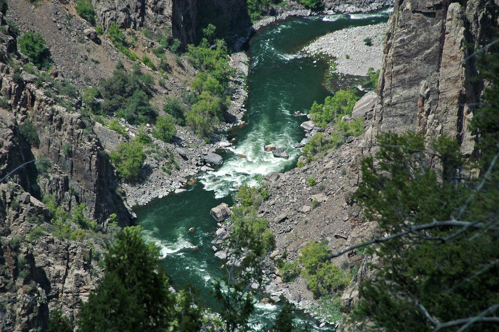
Gunnison River
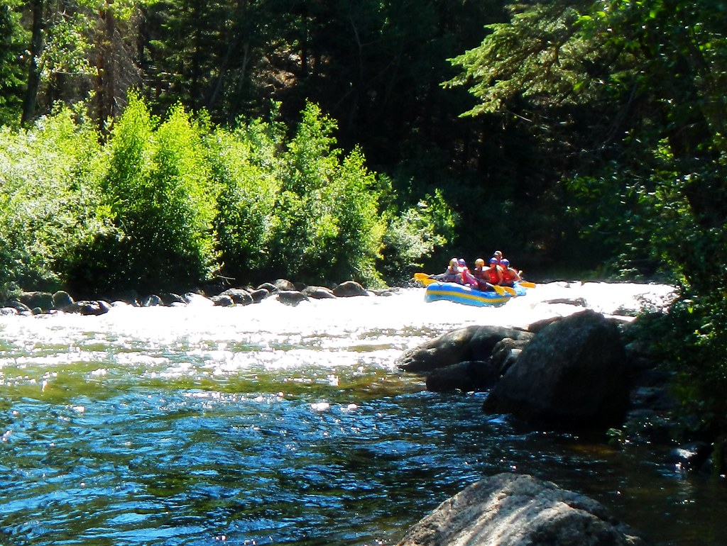
Taylor River
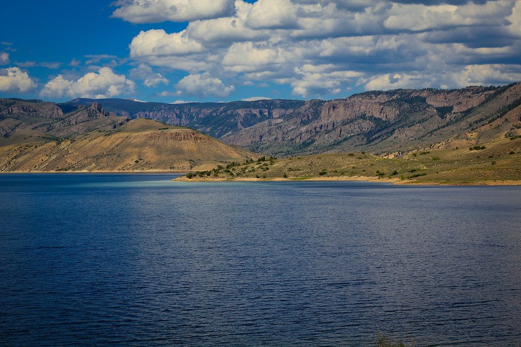
Blue Mesa Reservoir
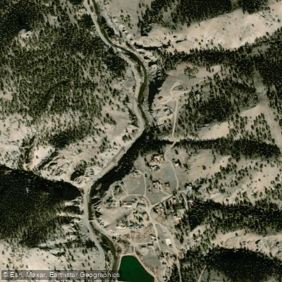
Lake Fork
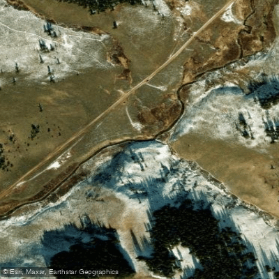
Spring Creek

Arkansas River
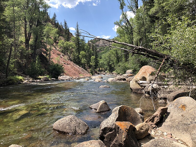
Roaring Fork River

Rio Grande
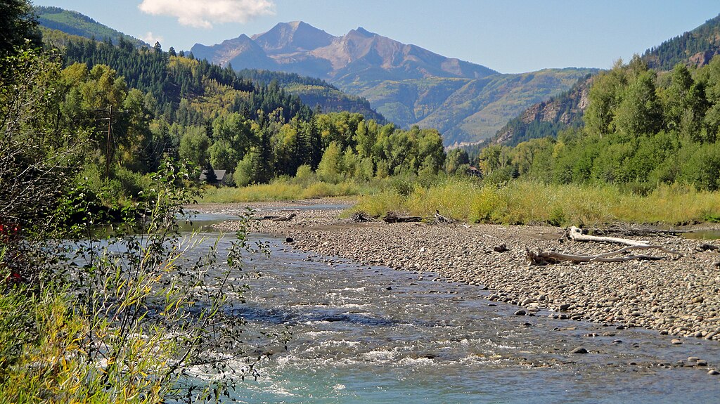
Crystal River
Chalk Creek
Explore Colorado waters
Top paddling waters
Popular Cities
Loading popular cities...
Explore near Coal Creek
Access points
Nearby waters
More in Colorado

Smarter Paddling Starts in the App.
Paddleways gives you everything you need to plan smarter, paddle better, and own every trip from first launch to takeout.