Curated by PaddleWays
RouteClass I–II
- Distance
- 0.7 mi
- Paddle time
- ~0.5 hrs
- Best for
- Intermediate paddlers
- Put-in → take-out
- Oh Be Joyful Campground → Gunsight Bridge
Steep, rough access road; scout before driving
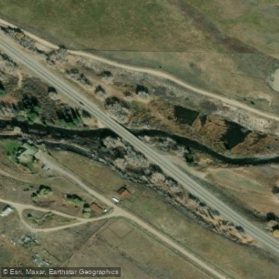
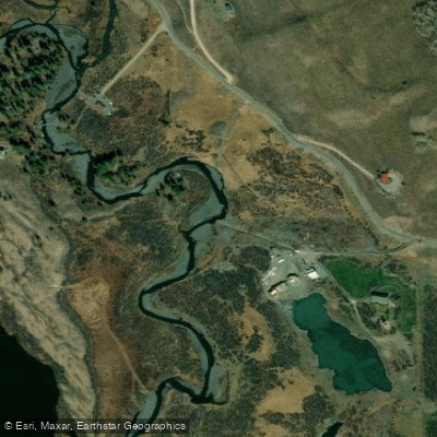
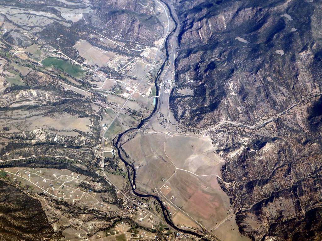
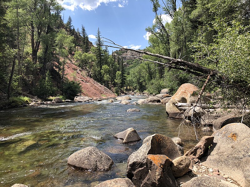
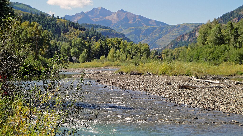
The Slate River originates in the high country north of Crested Butte in Gunnison County, Colorado, flowing southward through a spectacular mountain valley at approximately 9,000 feet elevation before eventually joining the East River. This snowmelt-driven tributary runs along County Road 734 (Slate River Road) and meanders through a mix of public Bureau of Land Management lands and private property, creating a unique paddling destination that ranges from expert-level whitewater to gentle flatwater floats.
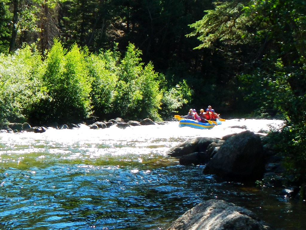
Paddling opportunities on the Slate River span the full spectrum of difficulty. The uppermost section from Beaver Ponds to Oh Be Joyful Campground presents Class V whitewater challenges suitable only for expert kayakers, featuring technical rapids through a narrow mountain gorge. Below Oh Be Joyful Campground, the character transforms dramatically into a scenic Class I-II float that continues through Gunsight Bridge. The most popular sections lie downstream, where flatwater and easy Class I conditions from Gunsight Bridge through the Rec Path Bridge (Pyramid Avenue) and down to Skyland Bridge attract beginners, families, and stand-up paddleboarders. A springtime-only section between Brush Creek Road and Cement Creek Road offers spectacular views of Crested Butte Mountain's west face when flows permit.
The river's snowmelt-driven nature creates distinct seasonal patterns. Peak flows typically occur from late May through June, reaching 800-1000 cfs, with moderate flows of 300-500 cfs in July. By August, levels drop to 50-100 cfs, making floating challenging and often impossible due to low water and increased trespassing concerns. Spring runoff between April and June draws expert kayakers to the steep creek sections.
The Slate River wetlands provide critical habitat for Great Blue Herons, with an active rookery requiring special protection. A voluntary no-float period from March 15 through July 15 exists between Gunsight Bridge and the Rec Path Bridge to protect nesting herons. Elk, waterfowl, and abundant wildflowers including Colorado's state flower, the Columbine, characterize the riparian corridor. Rainbow trout inhabit the river, though fishing takes a back seat to boating as the primary attraction.
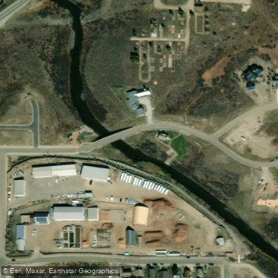
Access points include Oh Be Joyful Campground (requiring high-clearance vehicles), Gunsight Bridge on Slate River Road, River Flats, the Rec Path Bridge at Pyramid Avenue in Crested Butte, and Skyland Bridge off Highway 135. All locations lie within minutes of downtown Crested Butte.
The Slate River Working Group, formed in 2018 by the Crested Butte Land Trust and Town of Crested Butte, established comprehensive management guidelines addressing increasing recreational pressure. Strict regulations include mandatory use of designated access points only, no amplified music in wildlife zones, groups limited to six or fewer, and prohibitions against touching banks or bottom to prevent trespassing. Dogs are discouraged and banned at certain access points to protect wildlife and livestock grazing areas.
Curated routes
Hand-picked by the PaddleWays team, with put-ins, take-outs, paddle times and the hazards along the way.
RouteClass I–II
RouteFlatwater
RouteClass I
Hazards
No hazards are marked on Slate River yet. That is not the same as none being there: if you find one, report it for the next paddler.
From the community
Nobody has shared a trip on Slate River yet. Paddle it, then tell the next paddler how it went.
See exactly where the public can get on and off the river. Launch points and boat ramps are paired with PaddleWays' public land data so you know where you can legally land.
Public shoreline
49%of the river's shoreline is public
Most of the riverbank is private. Launch, land and camp only at public access points.
Flows, weather and a route-by-route verdict, so you know which stretch of the Slate River is worth paddling today.
All Flow Stations
Live flows, marked hazards and fresh trip reports from paddlers who were just on the water, all in one place.





Every user gets free access to launch points, boat ramps, and public property parcels.
Loading popular cities...
PaddleWays gives you everything you need to plan smarter, paddle better, and own every trip from first launch to takeout.