Morris Cove
- Saltwater
- Cove
Morris Cove
- Saltwater
- Cove
- Sq. miles
- 0.3
- Boat Ramps
- 1
- Access Points
- 0
- Campsites
- 0
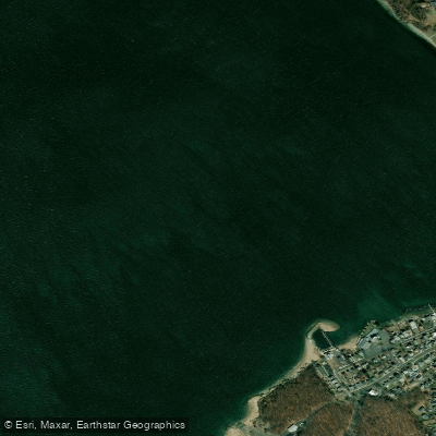
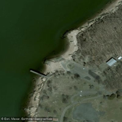
Morris Cove is a coastal saltwater feature within New Haven Harbor on Long Island Sound, offering paddlers a mix of protected waters and open harbor exploration. The primary public launch site is Nathan Hale Park, which provides parking and beach access. From this launch, paddlers can explore two main directions. Heading right (east) takes you past a pier and an old fort, leading into the broader New Haven Harbor. This route requires crossing the Coast Guard channel, a marked but active waterway where emergency vessels may operate; boat traffic along the immediate shoreline is reported as light, but tankers are docked further down and their docks require a wide berth. Heading left (west) from Nathan Hale Park follows the Morris Cove shoreline past a seawall, Anthony's Oceanview, a small marina, and a yacht club, eventually reaching Lighthouse Park. Caution is advised when rounding the point by the lighthouse due to a cross current that can create choppy conditions. A jetty on the left side near here has submerged rocks at low tide, requiring paddlers to steer clear when hugging the shore. Past this is a sandy beach with seasonal swimming buoys where landing is prohibited during the swimming season. Further along, a small opening leads to a calm inland river, explorable at higher tides, with a designated sandy beach launch spot inside Lighthouse Park. Parking at Lighthouse Park costs between twenty and thirty dollars for non-residents, making Nathan Hale Park a more economical start and end point. The overall experience is relaxing, with wildlife like birds and crabs commonly seen. The beach at Nathan Hale Park can have some debris but is considered safe for parking. Carrying a VHF marine radio is recommended for any travel into the main harbor channel. Tides affect the exploration of the inland river and the exposure of rocks near the jetty, so planning around tide stages is important.
Water access, boat ramps & amenities
Learn how to get on Morris Cove. Uncover great paddling access points, boat ramps, and all the facilities you need for an unforgettable day on the water. Some locations shown may border or include private property. Always check property boundaries and applicable regulations before visiting. PaddleWays's Public & Private Land layer can help you plan your access with confidence.
Paddle smarter with real-time insights
Whether you're en route and conditions shift or you're looking for the best spot based on current flows, we enable you to make informed decisions on the fly.








Find Places to Paddle

Over 400,000 Places to Paddle
Every user gets free access to launch points, boat ramps, and public property parcels.


Tides, wind & water conditions (10 day forecast)
On open water, wind and tide matter as much as the weather. See the best times to paddle Morris Cove and check the marine forecast before you launch.
Loading tide predictions…
Paddling near Morris Cove

Housatonic River

Connecticut River
The Thimbles
Naugatuck River
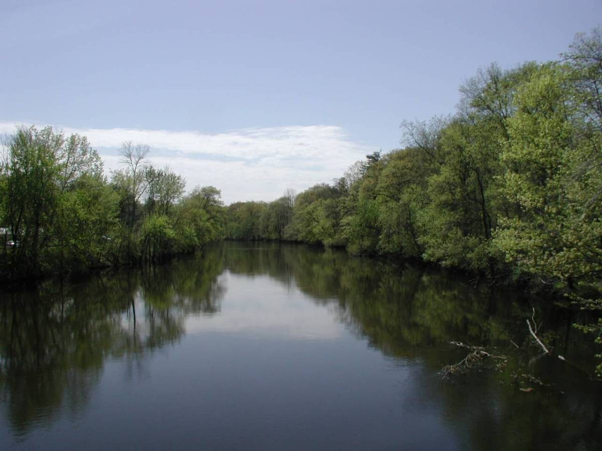
Farmington River
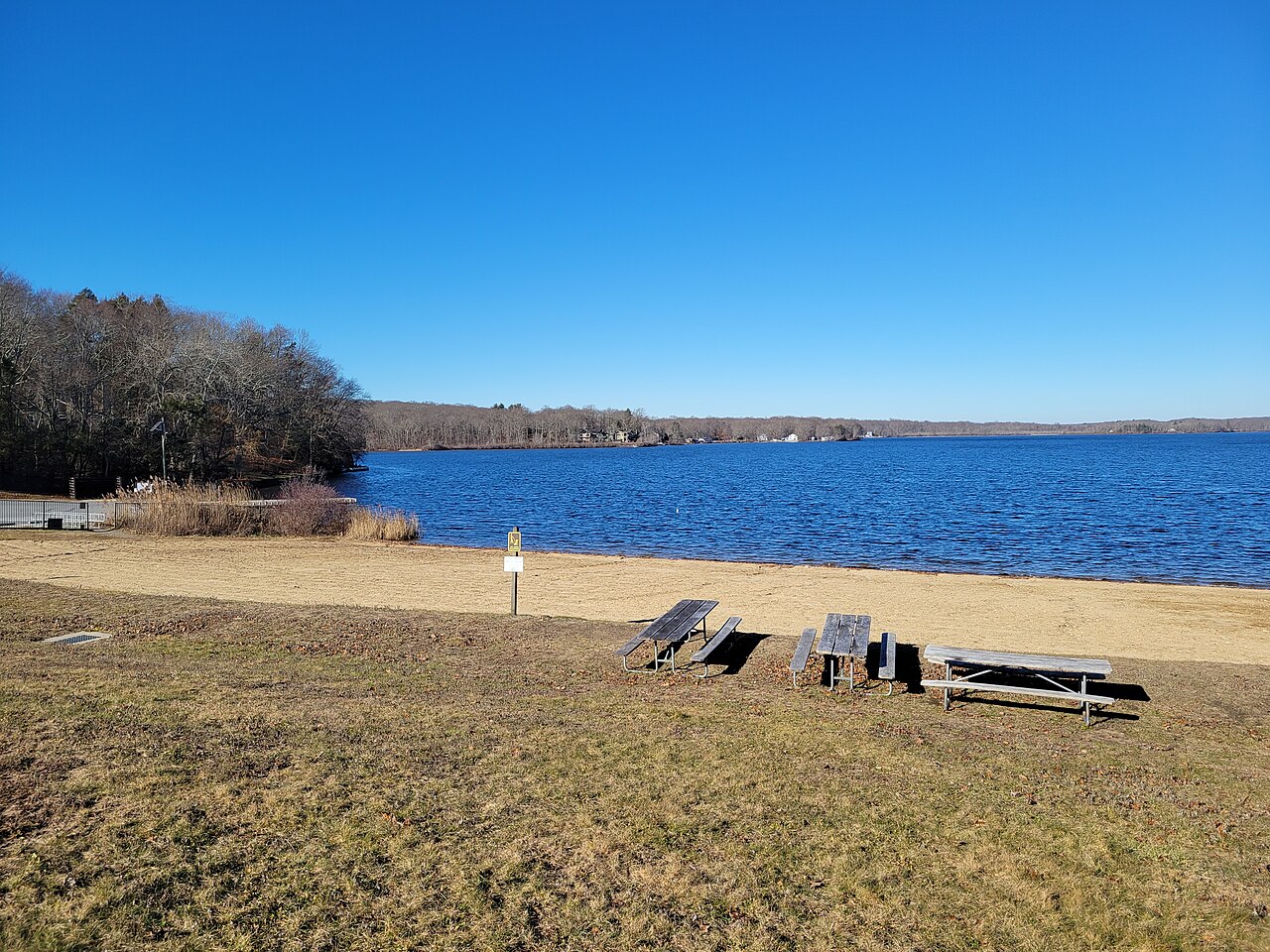
Gardner Lake
Peconic River
Sea Bluff Beach

Hudson River
Explore Connecticut waters
Top paddling waters
Popular Cities
Loading popular cities...
Explore near Morris Cove
Access points
Nearby waters
More in Connecticut

Smarter Paddling Starts in the App.
Paddleways gives you everything you need to plan smarter, paddle better, and own every trip from first launch to takeout.