The Thimbles
- Saltwater
- Bay
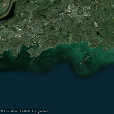
The Thimbles
- Saltwater
- Bay
- Sq. miles
- 9.1
- Boat Ramps
- 1
- Access Points
- 0
- Campsites
- 0
The Thimbles, located off Stony Creek in Branford, Connecticut, is a coastal archipelago in Long Island Sound composed of numerous small, rocky islands formed from pink granite bedrock. The primary and often crowded public launch point is the town dock and boat ramp in the village of Stony Creek. Parking, especially for trailers, is very limited, though a nearby church offers paid trailer parking on Saturdays. Kayaks are not permitted to launch from the adjacent town beach. The area is characterized by significant powerboat traffic, particularly on summer weekends, resulting in frequent wakes. Paddlers should be prepared for substantial wind exposure and fetch across the open sound. Landing is strictly prohibited on all islands except Outer Island, which is public and a common destination for a lunch stop; paddlers wishing to stop elsewhere should carry an anchor. The islands are privately owned, and tensions with homeowners can occur, so it is prudent to maintain a respectful distance from shorelines. The best time to paddle is during weekdays or the off-season to avoid heavy boat traffic. A notable three-hour kayak tour route involves paddling from Stony Creek to Outer Island, which is approximately 1.75 miles in a straight line. The granite from local quarries, including on Bear Island, was historically used in significant national monuments like the Lincoln Memorial and the base of the Statue of Liberty. Facilities at the launch are minimal, with a portable toilet reported. The aesthetic is one of a rugged, island-dotted coastline with historic charm, though it is an area where privacy is heavily guarded by residents.
Water access, boat ramps & amenities
Learn how to get on The Thimbles. Uncover great paddling access points, boat ramps, and all the facilities you need for an unforgettable day on the water. Some locations shown may border or include private property. Always check property boundaries and applicable regulations before visiting. PaddleWays's Public & Private Land layer can help you plan your access with confidence.
Paddle smarter with real-time insights
Whether you're en route and conditions shift or you're looking for the best spot based on current flows, we enable you to make informed decisions on the fly.








Find Places to Paddle

Over 400,000 Places to Paddle
Every user gets free access to launch points, boat ramps, and public property parcels.


Tides, wind & water conditions (10 day forecast)
On open water, wind and tide matter as much as the weather. See the best times to paddle The Thimbles and check the marine forecast before you launch.
Loading tide predictions…
Paddling near The Thimbles

Housatonic River

Connecticut River
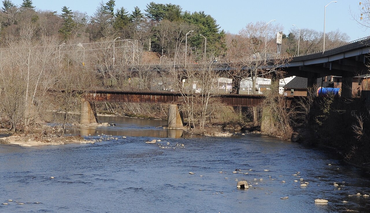
Naugatuck River
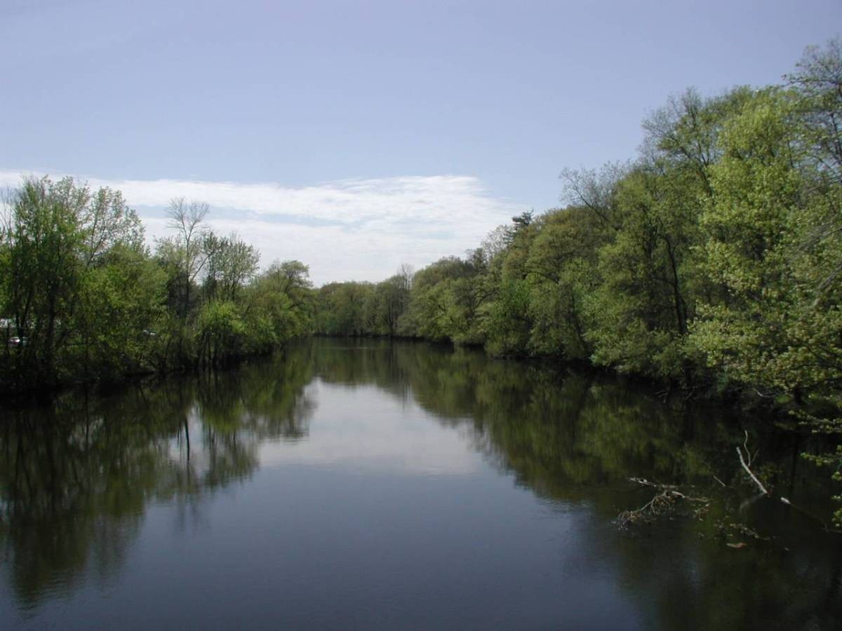
Farmington River
Morris Cove
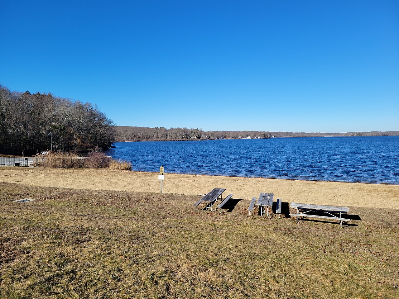
Gardner Lake
Peconic River
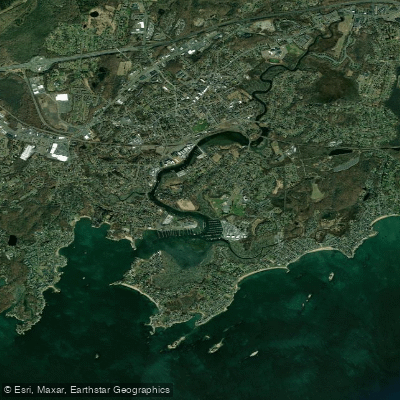
Branford River

Croton River
Explore Connecticut waters
Top paddling waters
Popular Cities
Loading popular cities...
Explore near The Thimbles
Access points
Nearby waters
More in Connecticut

Smarter Paddling Starts in the App.
Paddleways gives you everything you need to plan smarter, paddle better, and own every trip from first launch to takeout.