Twomile Island Bar
- Saltwater
- Sea area
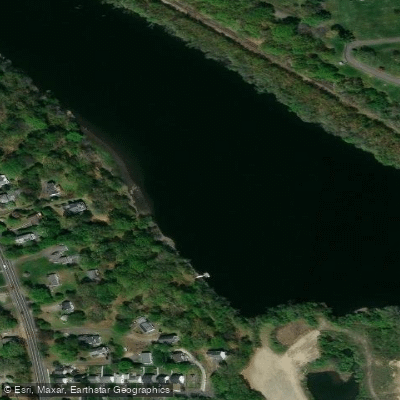
Twomile Island Bar
- Saltwater
- Sea area
- Sq. miles
- 0
- Boat Ramps
- 0
- Access Points
- 0
- Campsites
- 0
Twomile Island Bar is a shallow marine bar located in the tidal waters of the Housatonic River near Derby and Shelton, Connecticut. It is a coastal feature within Long Island Sound, subject to significant tidal influence. The primary consideration for paddlers is the shallow depth across the bar, which is approximately 1 foot at its shallowest, with a mid-channel depth of about 5 feet. This creates a distinct hazard for any watercraft with a draft, but for kayaks, canoes, and SUPs, it presents a navigable area that can become very shallow at low tide. The bar is situated within a riverine section of the Sound, leading to the towns of Derby and Shelton upstream, where channel depths increase to around 3 feet, with a 5.5-foot mid-channel. The surrounding area includes other features like Hidelum Rock Bar and Twomile Island, indicating a complex network of channels, islands, and shallow hazards. Paddlers must plan their trips around the tidal cycle, as the exposed bar and surrounding flats can significantly alter the navigable water area and current speeds. The presence of a defined channel suggests that boat traffic, particularly from vessels bound for Derby and Shelton, is a factor to consider, especially when crossing the bar's channel. There are no specific paddling restrictions mentioned, but the shallow, tidal nature of the environment demands careful planning regarding water depth and current direction. The area's climate features cold winters, with January temperatures averaging around -3°C, and warm summers, with July averaging 23°C, which directly influences seasonal water temperatures and paddling conditions.
Water access, boat ramps & amenities
Learn how to get on Twomile Island Bar. Uncover great paddling access points, boat ramps, and all the facilities you need for an unforgettable day on the water. Some locations shown may border or include private property. Always check property boundaries and applicable regulations before visiting. PaddleWays's Public & Private Land layer can help you plan your access with confidence.
Paddle smarter with real-time insights
Whether you're en route and conditions shift or you're looking for the best spot based on current flows, we enable you to make informed decisions on the fly.








Find Places to Paddle

Over 400,000 Places to Paddle
Every user gets free access to launch points, boat ramps, and public property parcels.


Tides, wind & water conditions (10 day forecast)
On open water, wind and tide matter as much as the weather. See the best times to paddle Twomile Island Bar and check the marine forecast before you launch.
Loading tide predictions…
Paddling near Twomile Island Bar

Housatonic River
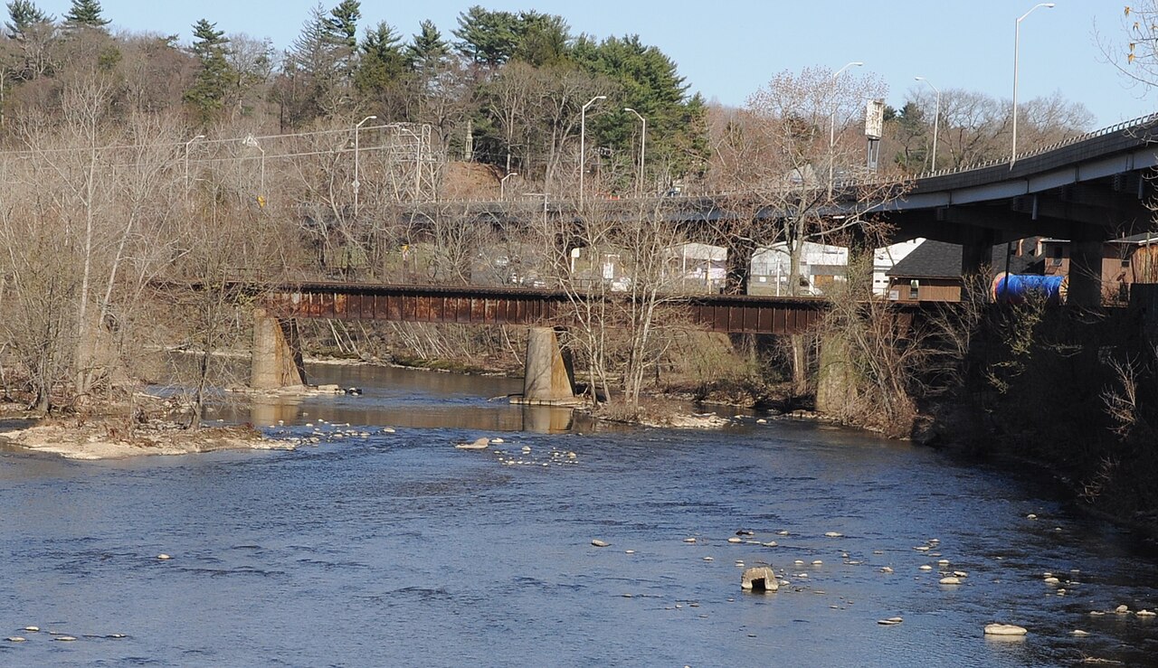
Naugatuck River
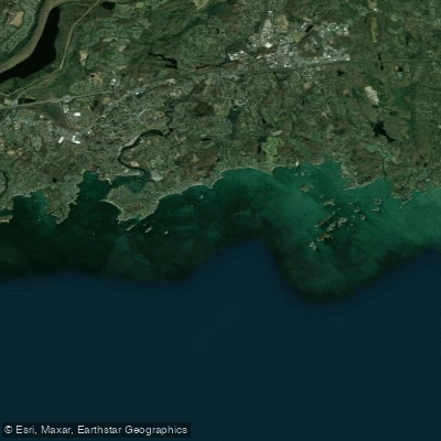
The Thimbles

Connecticut River

Hudson River
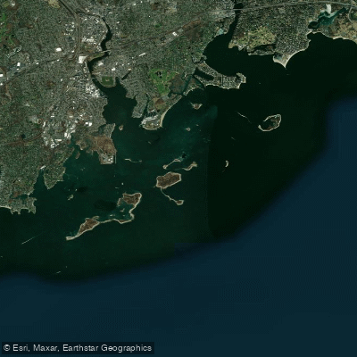
Norwalk Islands

Croton River
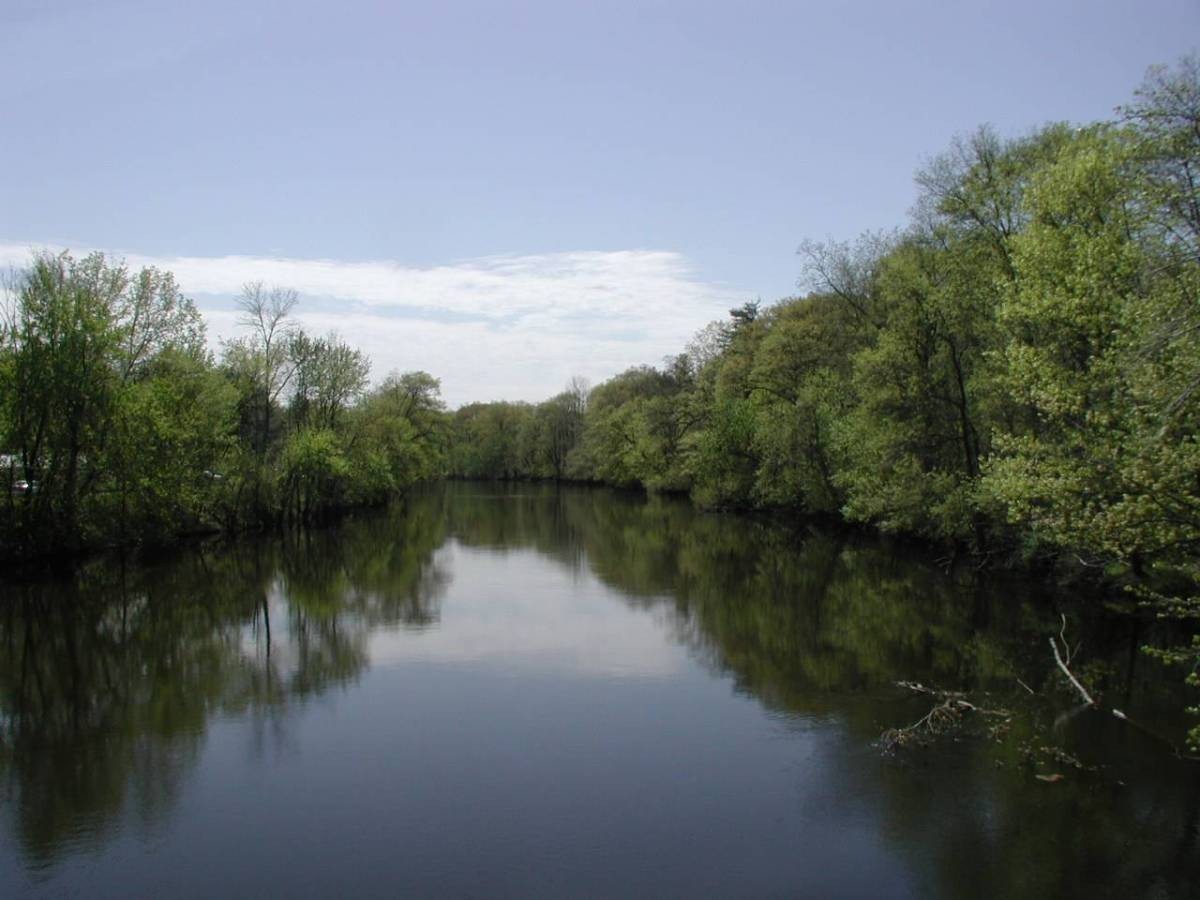
Farmington River
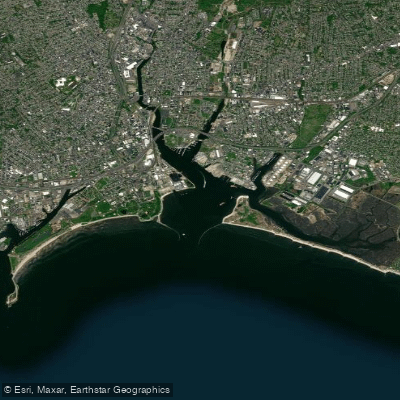
Bridgeport Harbor
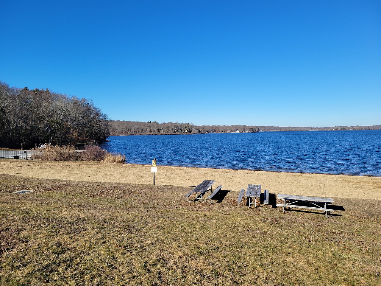
Gardner Lake
Explore Connecticut waters
Top paddling waters
Popular Cities
Loading popular cities...
Explore near Twomile Island Bar
Access points
- Housatonic River Rt 110 Bridge
- Naugatuck River Bridge
- Metro North Railroad Bridge
- Route 34 & Rr Drive Bridge
- Metro-north & Rr Drive Bridge
- Long Hill Avenue Bridge
- Streaming Ground Brook Bridge
- Route 8 Bridge
- Housatonic River Bridge
- Housatonic Rr & Local Rd Bridge
- Derby Canal Bridge
- Wepawaug River Bridge
- All 60 spots
Nearby waters
More in Connecticut

Smarter Paddling Starts in the App.
Paddleways gives you everything you need to plan smarter, paddle better, and own every trip from first launch to takeout.