Curated by PaddleWays
RouteFlatwater
- Distance
- 4.5 mi
- Paddle time
- ~1.5 hrs
- Best for
- Kayak, canoe
- Put-in → take-out
- Browns Memorial Park Access → Stoddard Hill Boat Ramp
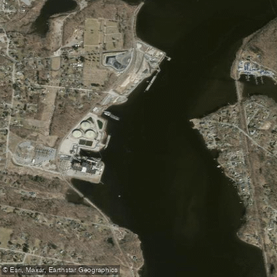
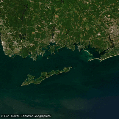
The Thames River in Connecticut offers paddlers a waterway experience in the eastern part of the state. Formed by the confluence of the Yantic and Shetucket rivers in Norwich, the Thames flows south for approximately 15 miles before emptying into Long Island Sound between New London and Groton.
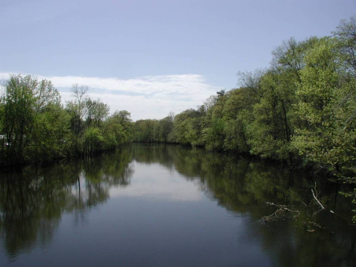
This tidal river provides flatwater paddling opportunities suitable for beginners to intermediate kayakers and canoeists. The river's width and generally calm conditions make it an excellent choice for those looking to enjoy a leisurely day on the water. However, paddlers should be aware of tidal influences, especially in the lower sections near the sound.
The Thames can be divided into several popular paddling sections. The upper stretch from Norwich to Gales Ferry offers a pleasant 5-mile journey, passing by the impressive Mohegan Sun Casino. The middle section from Gales Ferry to Groton spans about 8 miles and provides scenic views of the surrounding landscape. For those seeking a longer adventure, the full 15-mile route from Norwich to New London showcases the river's entire navigable length.
Spring through fall are ideal times to paddle the Thames, with summer offering the warmest conditions. However, paddlers should consult tide charts, especially when planning trips on the lower river or exploring tributaries like the Yantic and Shetucket. Low water conditions can affect paddling, particularly in the upper reaches and side coves.
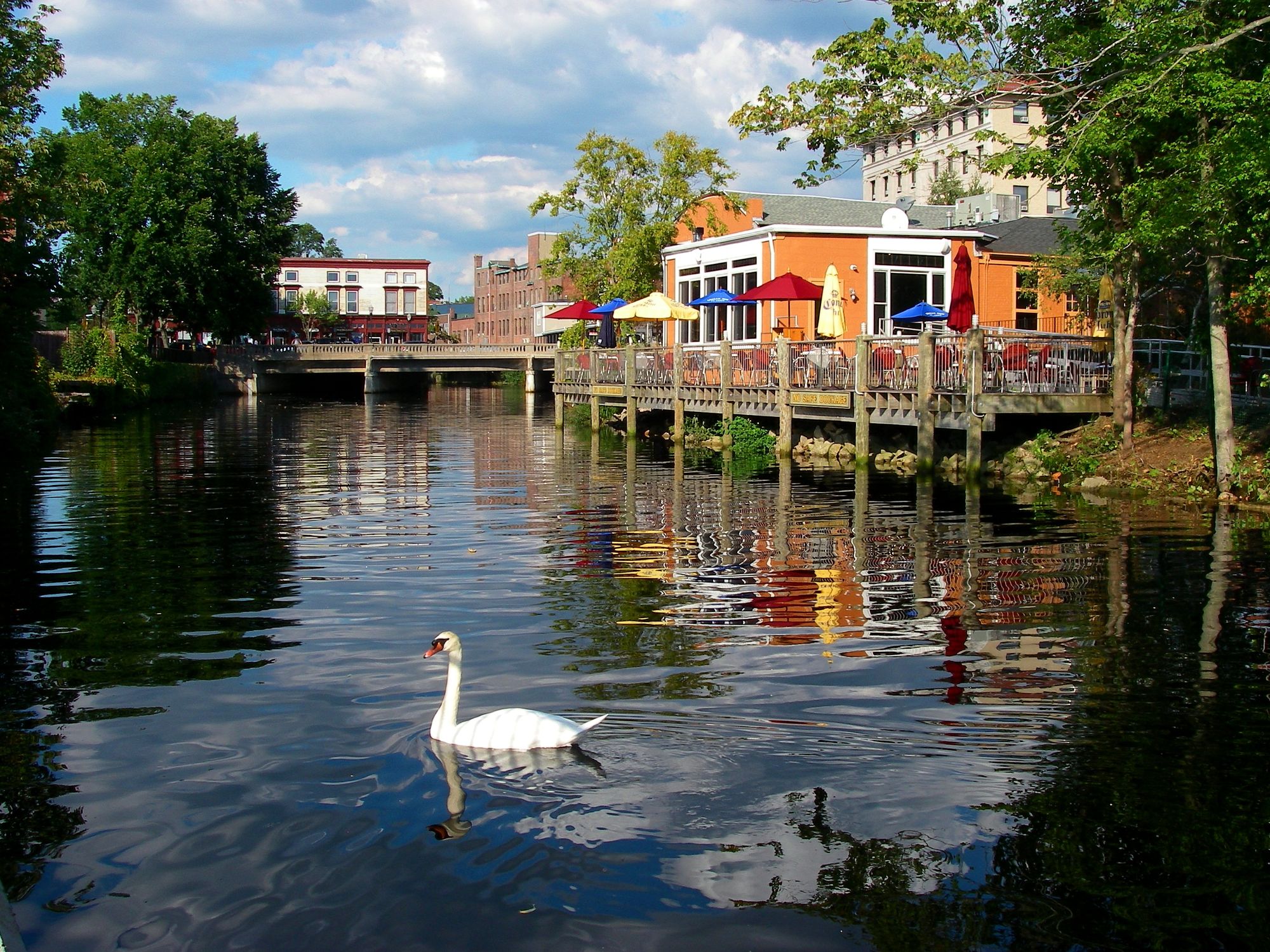
Wildlife enthusiasts will appreciate the river's ecosystem, which supports a variety of bird species, including ospreys and bald eagles. The shoreline features a mix of wooded areas, marshes, and occasional development, providing diverse habitats for local flora and fauna.
Notable landmarks along the Thames include the Mohegan Sun Casino, visible from the water, and the naval submarine base near Groton. Paddlers should be aware of restricted areas around the base and follow all posted regulations. The river also passes by several historic towns, offering glimpses into the region's maritime heritage.
Access points are plentiful, with popular put-ins at Brown Memorial Park in Norwich, Stoddard Hill State Park in Gales Ferry, and various locations in Groton and New London. These towns also provide amenities for visitors, including restaurants and lodging options for those planning multi-day trips.
The Thames River played a significant role in Connecticut's history, serving as an important transportation and trade route. Today, it continues to be a vital waterway for both commercial and recreational use, connecting the interior of eastern Connecticut to Long Island Sound.
Safety considerations include being aware of boat traffic, especially near marinas and in the wider sections of the river. Paddlers should also be mindful of wind conditions, which can create choppy waters, particularly in the lower river. Always wear a personal flotation device and carry appropriate safety gear.
For those interested in extended journeys, the Thames can be combined with paddles up the Yantic or Shetucket rivers, or even a trip into Poquetanuck Cove, a scenic two-mile tidal estuary branching off the main river. These side trips offer additional exploration opportunities and can easily turn a day trip into a rewarding multi-day adventure through eastern Connecticut's picturesque waterways.
Curated routes
Hand-picked by the PaddleWays team, with put-ins, take-outs, paddle times and the hazards along the way.
RouteFlatwater
RouteFlatwater
Hazards
No hazards are marked on Thames River yet. That is not the same as none being there: if you find one, report it for the next paddler.
From the community
Nobody has shared a trip on Thames River yet. Paddle it, then tell the next paddler how it went.
See exactly where the public can get on and off the river. Launch points and boat ramps are paired with PaddleWays' public land data so you know where you can legally land.
Public shoreline
0%of the river's shoreline is public
Most of the riverbank is private. Launch, land and camp only at public access points.
Flows, weather and a route-by-route verdict, so you know which stretch of the Thames River is worth paddling today.
Live flows, marked hazards and fresh trip reports from paddlers who were just on the water, all in one place.





Every user gets free access to launch points, boat ramps, and public property parcels.
Loading popular cities...
PaddleWays gives you everything you need to plan smarter, paddle better, and own every trip from first launch to takeout.