Bloody Bluff Public Boat Ramp
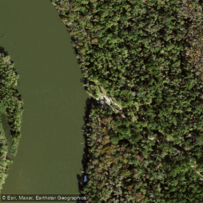
Bloody Bluff Public Boat Ramp
Bloody Bluff Public Boat Ramp provides access to the Apalachicola River in Franklin County via a dirt road located 14 miles north of US 98 on SR 65, followed by a 2. 3-mile drive on Bloody Bluff Road.
This FWC-maintained ramp serves as a launch point for both fishing and paddling activities on the river.
Nearby points of interest
Find excellent paddling spots, easy access to boat ramps, and all the amenities you need for a memorable day. Your adventure starts here.
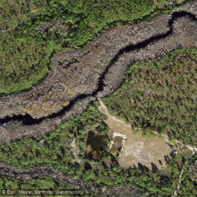
Apalachicola National Forest - Fort Gadsden Creek East Primitive Access (Very Small Boats Only)
Boat Ramp
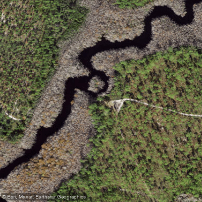
Apalachicola National Forest - Fort Gadsden Creek West Primitive Access
Boat Ramp
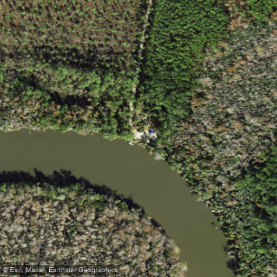
Apalachicola River Wildlife and Environmental Area - Butcher Pen Landing Kayak Launch
Boat Ramp
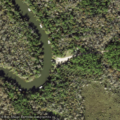
Apalachicola River Wildlife and Environmental Area - Gardeners Landing Public Boat Ramp
Boat Ramp
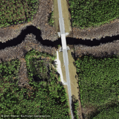
Apalachicola River Wildlife and Environmental Area - Graham Creek Public Boat Ramp
Boat Ramp
Apalachicola River Wildlife and Environmental Area - Misfit Landing Boat Ramp
Boat Ramp
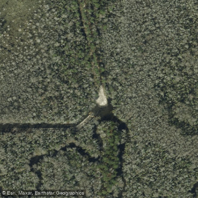
Apalachicola River Wildlife and Environmental Area - Saul's Creek Canoe Launch
Boat Ramp
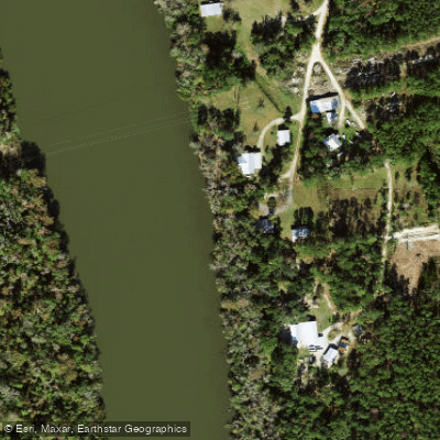
Brickyard Landing Boat Ramp
Boat Ramp
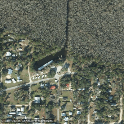
Fisherman's Landing RV Park
Boat Ramp
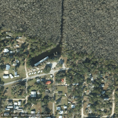
Fisherman's Landing RV Park Boat Ramp
Boat Ramp
Water and weather conditions (10 day forecast)
Check the forecast at Bloody Bluff Public Boat Ramp before you go paddling.
No forecast data available.
Paddling near Bloody Bluff Public Boat Ramp
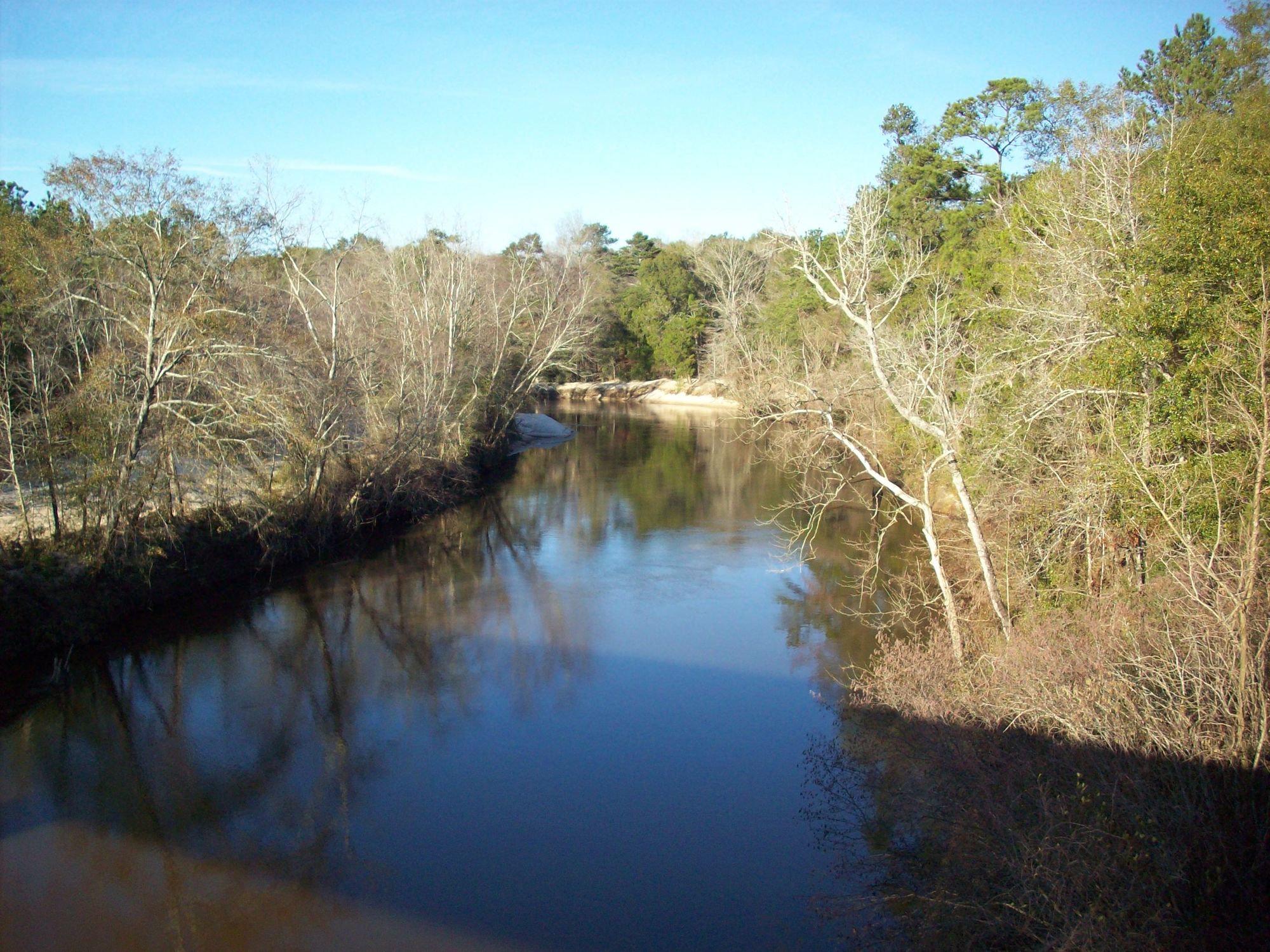
Choctawhatchee River
Alabama, Florida
82.3 miles away
Econfina Creek
Florida
51.8 miles away
East Bay
Florida
34.7 miles away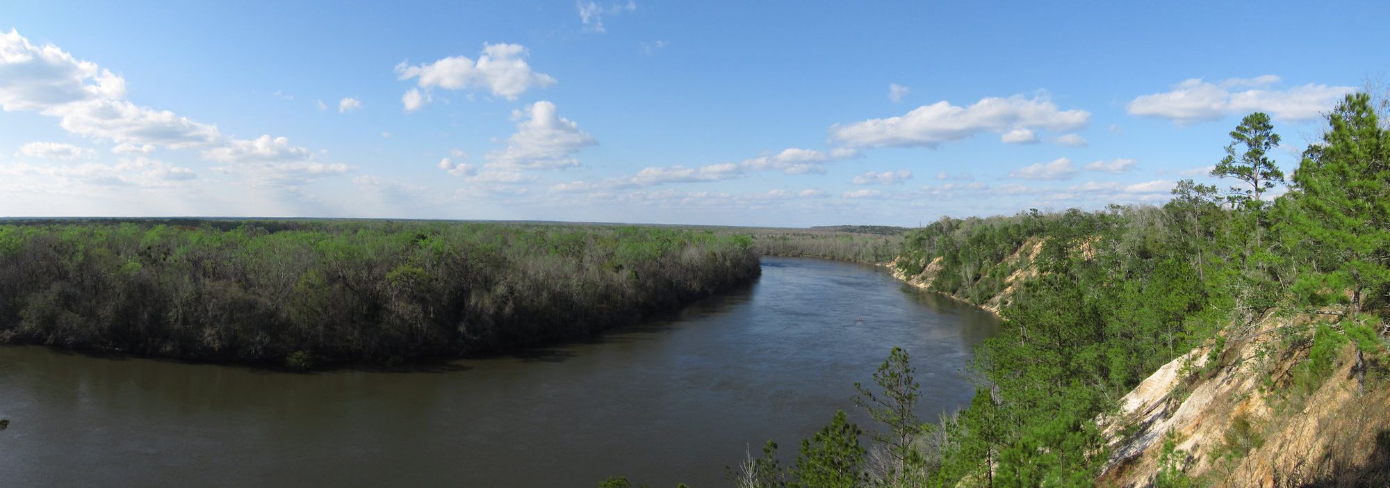
Apalachicola River
Florida
25 miles away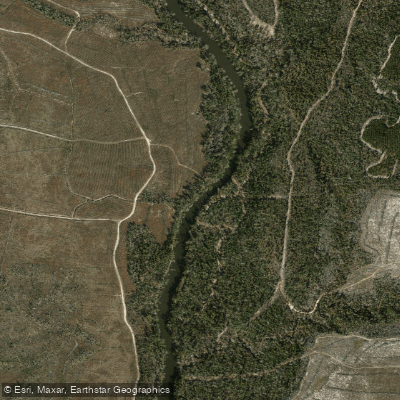
Chipola River
Florida
41.2 miles away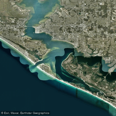
Saint Andrew Bay
Florida
44.6 miles away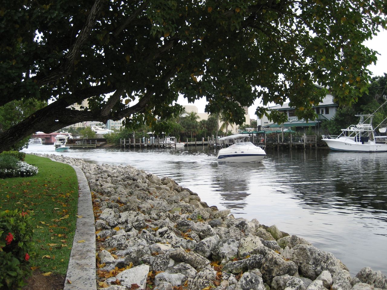
New River
Florida
15.8 miles away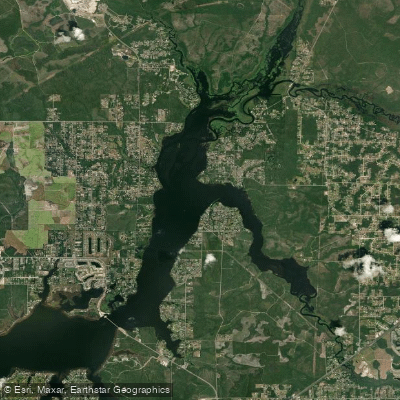
Deer Point Lake
Florida
45.4 miles away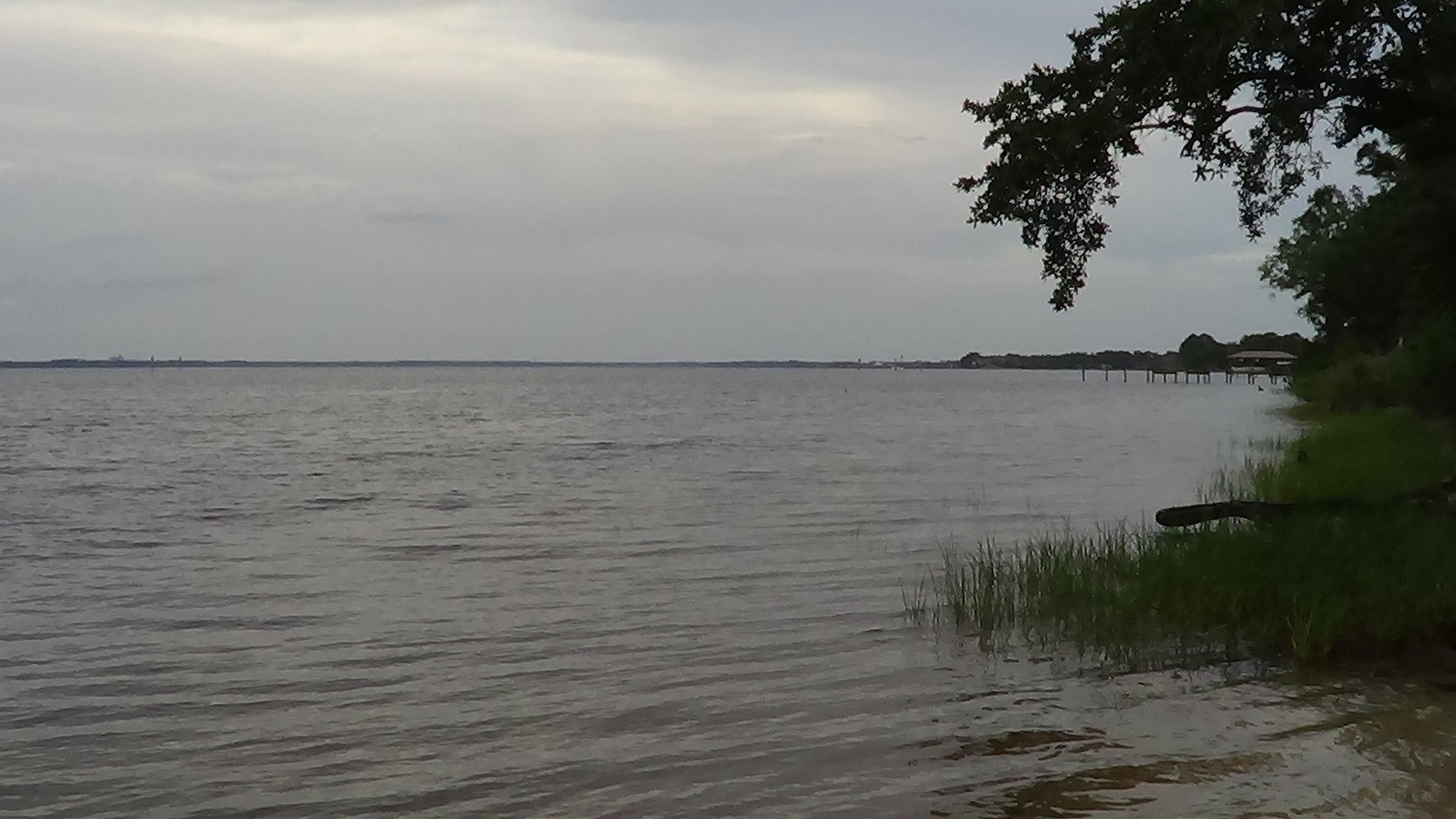
West Bay
Florida
53.6 miles away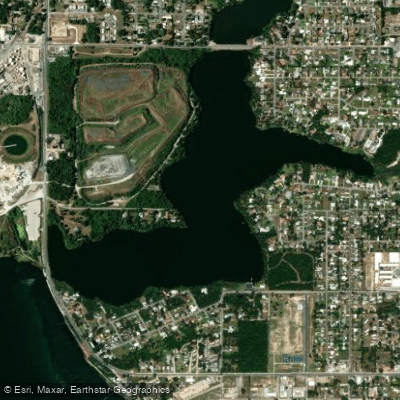
Lake Martin
Florida
40.2 miles awayFlorida licenses and regulations
Explore Florida waters
Top paddling waters
No waters available right now.
Popular Cities
Loading popular cities...
Explore near Bloody Bluff Public Boat Ramp
Nearby spots
- Apalachicola National Forest - Fort Gadsden Creek East Primitive Access (Very Small Boats Only)
- Apalachicola National Forest - Fort Gadsden Creek West Primitive Access
- Apalachicola River Wildlife and Environmental Area - Butcher Pen Landing Kayak Launch
- Apalachicola River Wildlife and Environmental Area - Gardeners Landing Public Boat Ramp
- Apalachicola River Wildlife and Environmental Area - Graham Creek Public Boat Ramp
- Apalachicola River Wildlife and Environmental Area - Misfit Landing Boat Ramp
- Apalachicola River Wildlife and Environmental Area - Saul's Creek Canoe Launch
- Brickyard Landing Boat Ramp
- Fisherman's Landing RV Park
- Fisherman's Landing RV Park Boat Ramp
- Gardeners Landing Boat Ramp
- Graham Creek Boat Ramp
- All 18 nearby spots
Nearby waters
More in Florida

Smarter Paddling Starts in the App.
Paddleways gives you everything you need to plan smarter, paddle better, and own every trip from first launch to takeout.