Saint Andrew Bay
- Saltwater
- Bay
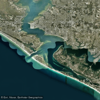
Saint Andrew Bay
- Saltwater
- Bay
- Sq. miles
- 18
- Boat Ramps
- 8
- Access Points
- 0
- Campsites
- 5
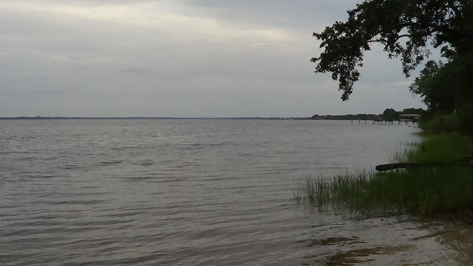
Saint Andrew Bay is a large estuary near Panama City, Florida, situated between the mainland and the barrier island that includes St. Andrews State Park and Shell Island. The bay provides a mix of developed and natural shorelines, with paddling conditions heavily influenced by wind and boat traffic. Several public boat ramps offer access, including the Donaldson Point Public Boat Ramp and Bob George Park Public Boat Ramp, the latter providing sheltered paddling in Watson Bayou. The Carl Gray Park ramp is also noted as an option. Launching directly at the U.S. Coast Guard Station is restricted, requiring the use of these nearby public points.
The bay is a large, open body of water susceptible to wind, with south and southwest winds capable of creating significant chop, making early morning paddling when winds are lighter advisable. Vessel traffic is moderate to high, especially on weekends, and includes recreational boats and larger naval vessels. Paddlers should be aware of no-wake zones in areas like Salt Creek. The bay features gentle currents, and one suggested route advises paddling with the outgoing tide for an easier journey to the Grand Lagoon entrance and returning with the incoming tide. Open water crossings, such as from Donaldson Point to Earl Gilbert Park, are exposed to wind and chop and require careful weather assessment.
Notable destinations within the bay include the undeveloped northern shoreline for birdwatching, the entrance to Grand Lagoon for potential dolphin sightings, and Shell Island, which is only accessible by boat. The bay's diverse ecology supports wildlife like manatees, sea turtles, dolphins, and intercoastal birds. The water is noted for its turquoise color and white sand beaches along the Gulf Coast. Public access points often provide amenities like restrooms and picnic tables, while nearby marinas offer services. The area's aesthetic is characterized by a combination of quiet, natural sections and views of the active Panama City Beach area.
Water access, boat ramps & amenities
Learn how to get on Saint Andrew Bay. Uncover great paddling access points, boat ramps, and all the facilities you need for an unforgettable day on the water. Some locations shown may border or include private property. Always check property boundaries and applicable regulations before visiting. PaddleWays's Public & Private Land layer can help you plan your access with confidence.
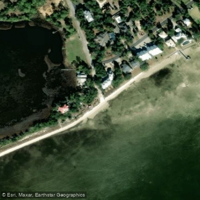
Jan Cooley Drive Paddlecraft Access
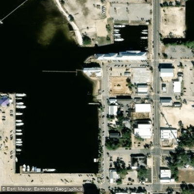
St. Andrews City Marina Boat Ramp
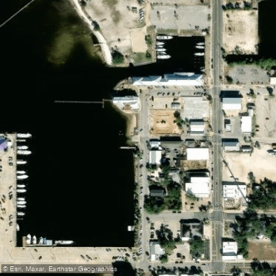
St. Andrews City Marina Public Boat Ramp
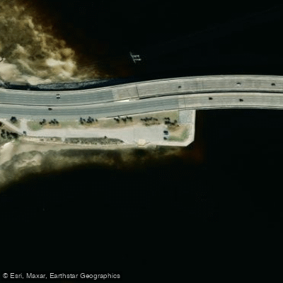
West Hathaway Bridge Wayside Park Boat Ramp
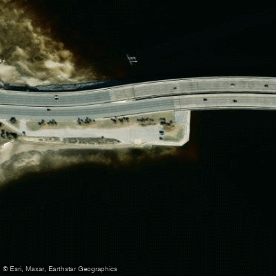
West Hathaway Bridge Wayside Park
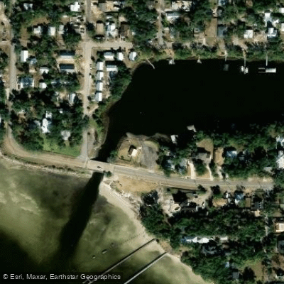
Lake Huntington Park Primitive Boat Launch
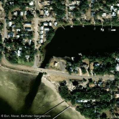
Lake Huntington Park Boat Ramp
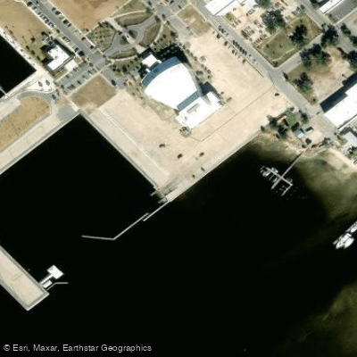
Panama City Marina Public Boat Ramp
Paddle smarter with real-time insights
Whether you're en route and conditions shift or you're looking for the best spot based on current flows, we enable you to make informed decisions on the fly.








Find Places to Paddle

Over 400,000 Places to Paddle
Every user gets free access to launch points, boat ramps, and public property parcels.


Tides, wind & water conditions (10 day forecast)
On open water, wind and tide matter as much as the weather. See the best times to paddle Saint Andrew Bay and check the marine forecast before you launch.
Loading tide predictions…
Paddling near Saint Andrew Bay
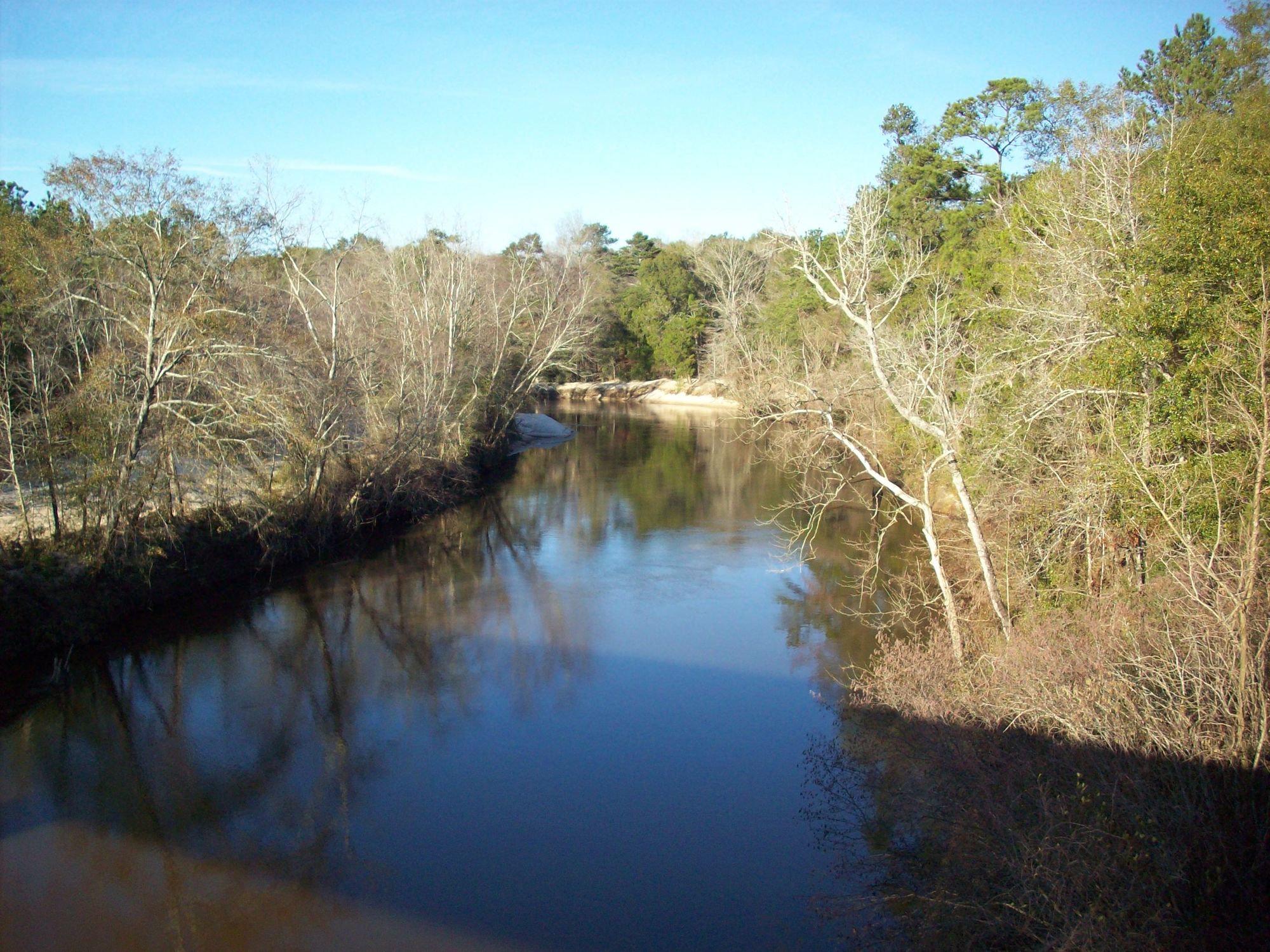
Choctawhatchee River
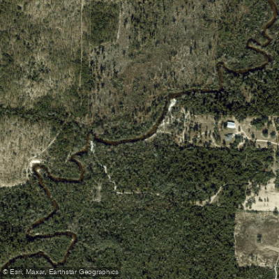
Econfina Creek
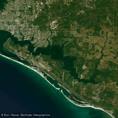
East Bay
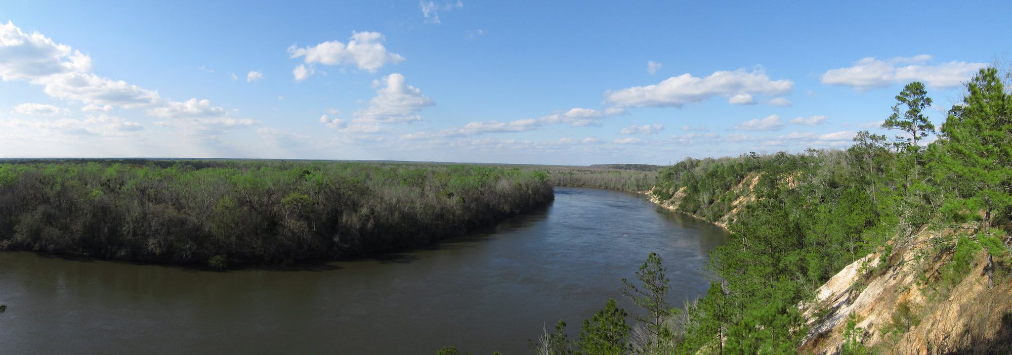
Apalachicola River
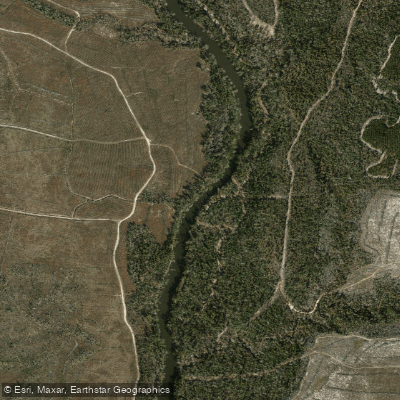
Chipola River
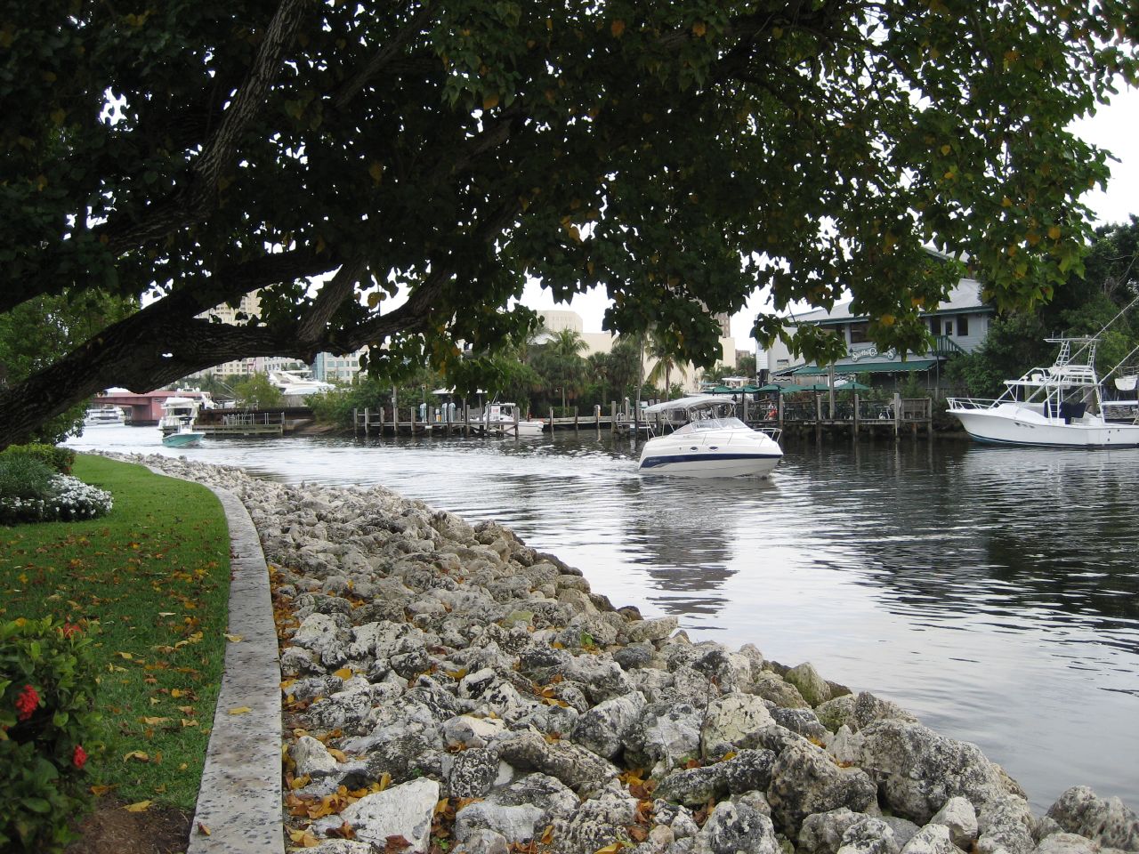
New River
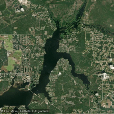
Deer Point Lake
West Bay
Lake Martin
Explore Florida waters
Top paddling waters
Popular Cities
Loading popular cities...
Explore near Saint Andrew Bay
Access points
- Jan Cooley Drive Paddlecraft Access
- St. Andrews City Marina Boat Ramp
- St. Andrews City Marina Public Boat Ramp
- West Hathaway Bridge Wayside Park Boat Ramp
- West Hathaway Bridge Wayside Park
- Lake Huntington Park Primitive Boat Launch
- Lake Huntington Park Boat Ramp
- Panama City Marina Public Boat Ramp
- St. Andrews State Park Campground
- Park Place Rv Park Campground
- Panama City Beach Campground
- Pineglen Motorcoach Rv Park Campground
- All 13 spots
Nearby waters
More in Florida

Smarter Paddling Starts in the App.
Paddleways gives you everything you need to plan smarter, paddle better, and own every trip from first launch to takeout.