Deer Point Lake
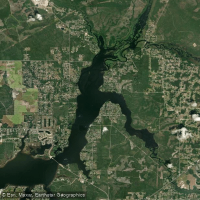
Deer Point Lake
- Boat Ramps
- 7
- Access Points
- 7
- Campsites
- 3
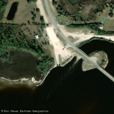
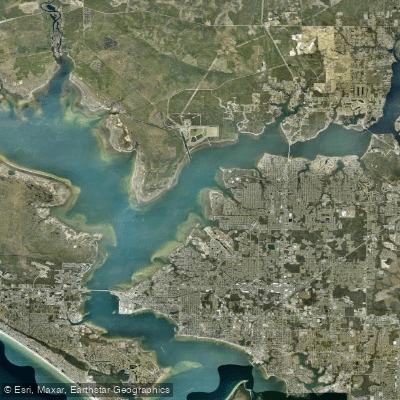
Deer Point Lake is a 5,000-acre impoundment located 7 miles north of Panama City, Florida. The lake is fed by natural freshwater streams and serves as a major water supply for the region. Access is available via boat ramps on County Road 2321 on either side of the dam, with the Highpoint ramp located off C2311. A fishing pier near the west side boat ramp provides an additional vantage point.
The lake is known for excellent fishing opportunities, particularly in spring and early summer. Largemouth bass, shellcracker (redear sunfish), bluegill, crappie, and catfish are common catches. Anglers should target shallow weedy areas and stumps along Cedar Creek, Bayou George, and Econfina Creek for bass during March and April spawning season. Shellcracker prefer sandy bottoms in 2-4 feet of water near cypress edges when spawning begins in April.
While primarily used for fishing, the calm waters make Deer Point Lake suitable for family-friendly kayaking. The lake's large size offers ample space for paddling, though specific routes are not well-established. Visitors should be aware that the lake can become busy with fishing boats, especially during peak seasons.
The surrounding landscape features limestone karst topography with springs, sinkholes and rock outcrops. This creates scenic views for paddlers, though the lake's aesthetic qualities vary depending on the area you're exploring.
No specific paddling hazards are noted, but standard water safety precautions should be observed. Paddlers should check current conditions and any restrictions before visiting, as these can change seasonally.
Water access, boat ramps & amenities
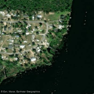
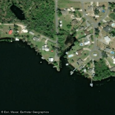
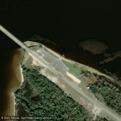
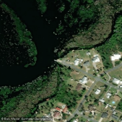
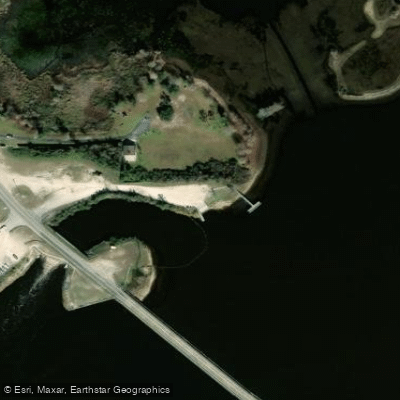
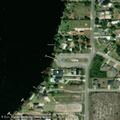
Learn how to get on Deer Point Lake. Uncover great paddling access points, boat ramps, and all the facilities you need for an unforgettable day on the water. Some locations shown may border or include private property. Always check property boundaries and applicable regulations before visiting. PaddleWays's Public & Private Land layer can help you plan your access with confidence.
Paddle smarter with real-time insights
Whether you're en route and conditions shift or you're looking for the best spot based on current flows, we enable you to make informed decisions on the fly.








Find Places to Paddle

Over 400,000 Places to Paddle
Every user gets free access to launch points, boat ramps, and public property parcels.


Water and weather conditions (10 day forecast)
See the best times to paddle Deer Point Lake and check the forecast before you go.
No forecast data available.
Paddling near Deer Point Lake
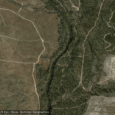
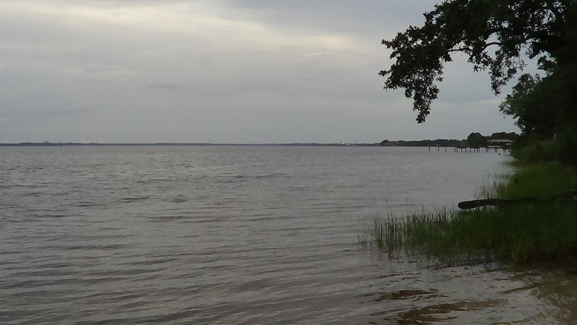
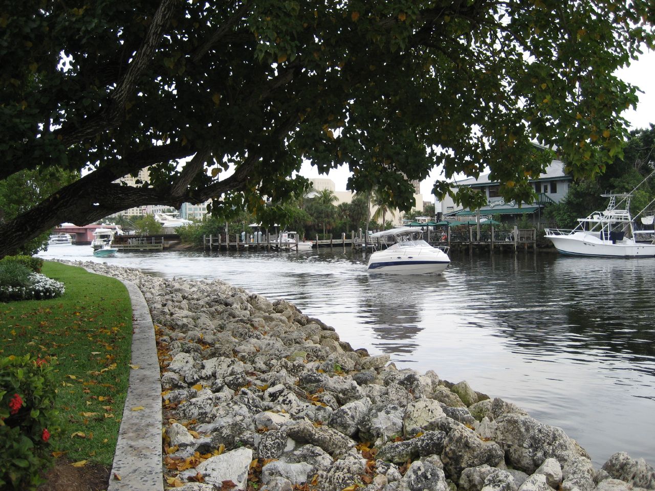
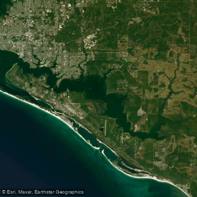
Explore Florida waters
Top paddling waters
Popular Cities
Loading popular cities...
Explore near Deer Point Lake
Access points
- Tharp's Fish Camp Boat Ramp
- Bayhead South Public Boat Ramp
- Ira Hutchinson Park Boat Ramp
- Bayhead North Public Boat Ramp
- Deer Point Lake Draw Down Boat Ramp
- High Point Park Public Boat Ramp
- McCall-Everitt Park - North Bay Boat Ramp
- Deerpoint Drawdown Bridge
- Bear Creek Bridge
- Bayou George Bridge
- Unnamed Branch Bridge
- Mill Bayou Bridge
- All 26 spots
Nearby waters
More in Florida

Smarter Paddling Starts in the App.
Paddleways gives you everything you need to plan smarter, paddle better, and own every trip from first launch to takeout.