West Bay
- Saltwater
- Bay
West Bay
- Saltwater
- Bay
- Sq. miles
- 28
- Boat Ramps
- 3
- Access Points
- 0
- Campsites
- 4
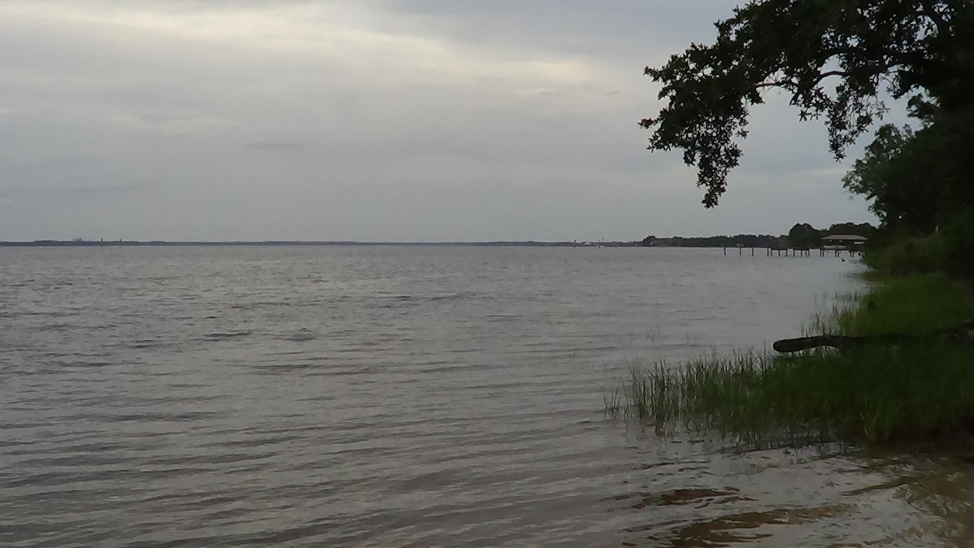
West Bay, part of Budd Bay in Olympia, Washington, offers a calm and sheltered paddling environment suitable for all skill levels. The primary and recommended access point is West Bay Park, which features a convenient launch area. The parking lot is less than thirty yards from the put-in, with only a slight descent to the water. A key local tip for this tidal launch is to consult tide schedules and plan to arrive at high tide. This timing ensures the launch area consists of sand and rocks rather than exposed mud, making entry and exit significantly easier and preventing the need to haul gear over a longer distance. The park provides ample parking, picnic tables, and restroom facilities. The waters of Budd Bay are tranquil with gentle currents, creating a safe and easily accessible environment. The bay is relatively sheltered, though paddlers should always be mindful of weather conditions before setting out. The visual setting is a major draw, featuring shimmering waters bordered by lush forests and rolling hills, with inspiring vistas that include the distant outline of the Olympic Mountains. Wildlife sightings are common and can include seagulls, seals, and eagles. From October through July, with a peak in spring, paddlers may also spot migrating whales such as orcas and humpbacks in the area. The bay supports trips ranging from short forty-five-minute tours to longer four-hour journeys. While the water is calm, adherence to standard safety guidelines, including wearing a personal flotation device, is emphasized.
Water access, boat ramps & amenities
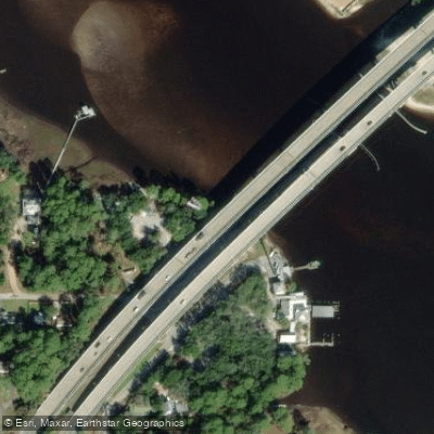
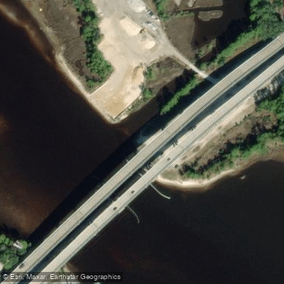
Learn how to get on West Bay. Uncover great paddling access points, boat ramps, and all the facilities you need for an unforgettable day on the water. Some locations shown may border or include private property. Always check property boundaries and applicable regulations before visiting. PaddleWays's Public & Private Land layer can help you plan your access with confidence.
Paddle smarter with real-time insights
Whether you're en route and conditions shift or you're looking for the best spot based on current flows, we enable you to make informed decisions on the fly.








Find Places to Paddle

Over 400,000 Places to Paddle
Every user gets free access to launch points, boat ramps, and public property parcels.


Tides, wind & water conditions (10 day forecast)
On open water, wind and tide matter as much as the weather. See the best times to paddle West Bay and check the marine forecast before you launch.
Loading tide predictions…
Paddling near West Bay
Explore Florida waters
Top paddling waters
Popular Cities
Loading popular cities...
Explore near West Bay
Access points
- B.V. Buchanan Park and Boat Ramp
- B.V. Buchanan Bridge North Shore Undeveloped Access Point
- B.V. Buchanan Park and Public Boat Ramp
- Ward Creek Bridge
- Crooked Creek Bridge
- Burnt Mill Creek Bridge
- Crooked Creek Bridge
- Pigeon Ck Bridge
- Big Crooked Ck Bridge
- Pineglen Motorcoach Rv Park Campground
- Raccoon River Campground
- Panama City Beach Campground
- All 13 spots
Nearby waters
More in Florida

Smarter Paddling Starts in the App.
Paddleways gives you everything you need to plan smarter, paddle better, and own every trip from first launch to takeout.