Lake Martin
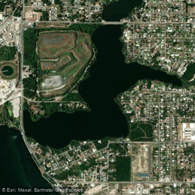
Lake Martin
- Boat Ramps
- 4
- Access Points
- 4
- Campsites
- 0
The Martin County paddling trails system spans 37.7 miles across two major waterways - the Indian River Lagoon and St. Lucie River. The Indian River Lagoon section runs 16.2 miles between Jensen Beach and Hobe Sound, with 8 public launch/stopover sites available. A 2.6-mile trail spur provides access through St. Lucie Inlet State Park.
The St. Lucie River portion extends 21.5 miles from Atlantic Ridge State Park/Halpatiokee area to the Indian River Lagoon and St. Lucie Inlet, featuring 13 public launch or stopover sites. An additional 3.6-mile spur trail connects Atlantic Ridge and Halpatiokee Preserve.
Paddlers can observe diverse wildlife including herons, egrets, osprey, turtles and fish while navigating through mangrove-lined waterways. The lagoon section falls within the Indian River Lagoon Aquatic Preserve, offering pristine natural conditions. St. Lucie Inlet Preserve State Park provides a unique paddling destination, with access to an undeveloped barrier island only reachable by water.
The trail system is actively managed by Martin County's Ecosystem Restoration and Management Division in partnership with local volunteer groups like the 27-80 Paddling Club, who help monitor conditions and maintain access points. All waterways are sovereign public lands owned by the Florida Board of Trustees.
Several outfitters provide rentals and guided experiences, including South River Outfitters in Stuart, Beach Water Sports on Hutchinson Island, and Jonathan Dickinson State Park in Hobe Sound. The calm lagoon waters near Port Salerno offer ideal conditions for beginners to learn paddling basics.
For trip planning, amenities and launch site details are available through the Martin County Blueway Paddling Trails Map. Paddlers should practice "leave no trace" principles and be prepared for encounters with various wildlife in this diverse aquatic ecosystem.
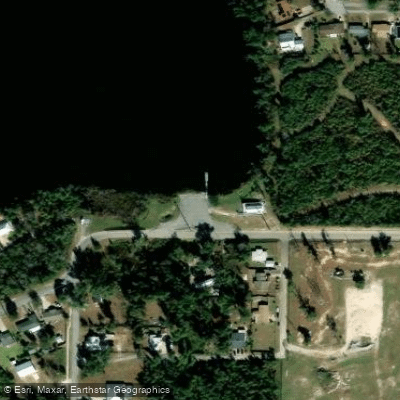
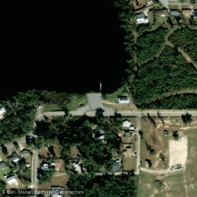
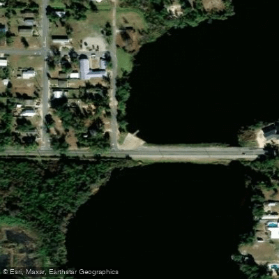
Water access, boat ramps & amenities
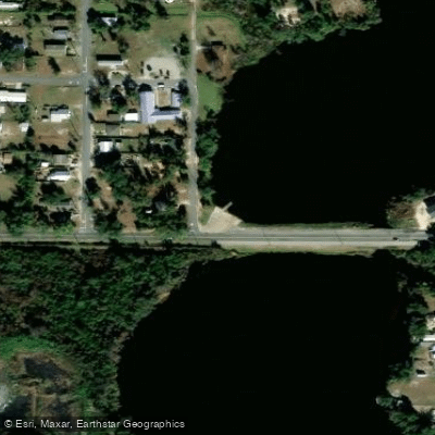
Learn how to get on Lake Martin. Uncover great paddling access points, boat ramps, and all the facilities you need for an unforgettable day on the water. Some locations shown may border or include private property. Always check property boundaries and applicable regulations before visiting. PaddleWays's Public & Private Land layer can help you plan your access with confidence.
Paddle smarter with real-time insights
Whether you're en route and conditions shift or you're looking for the best spot based on current flows, we enable you to make informed decisions on the fly.








Find Places to Paddle

Over 400,000 Places to Paddle
Every user gets free access to launch points, boat ramps, and public property parcels.


Water and weather conditions (10 day forecast)
See the best times to paddle Lake Martin and check the forecast before you go.
No forecast data available.
Paddling near Lake Martin
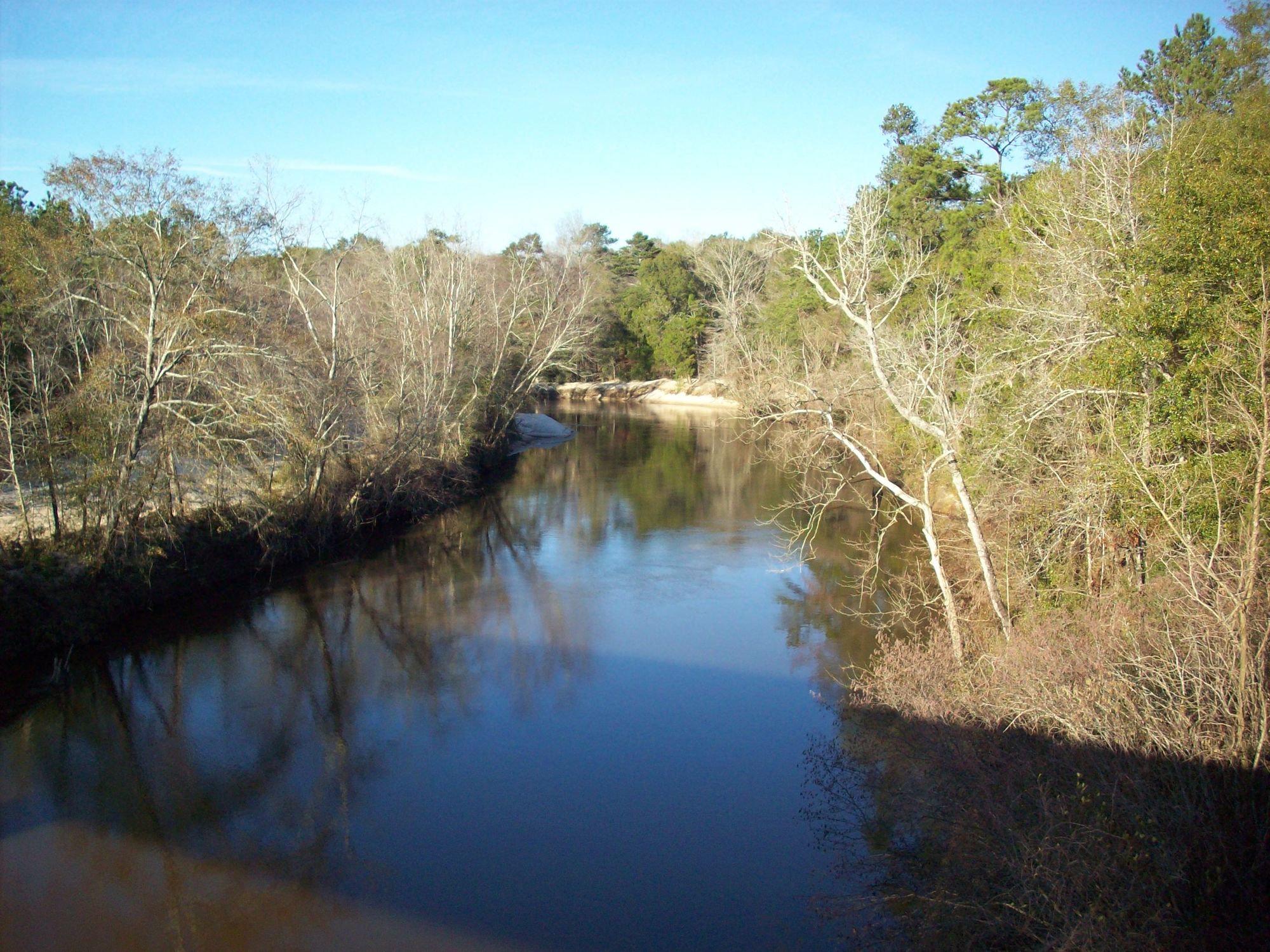
Choctawhatchee River
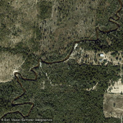
Econfina Creek
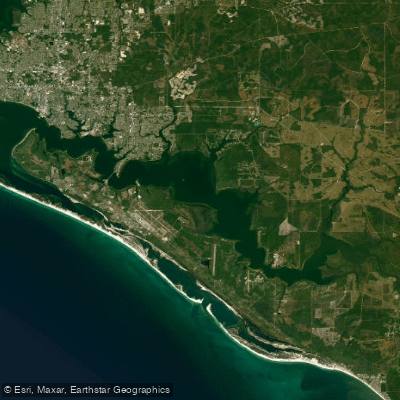
East Bay
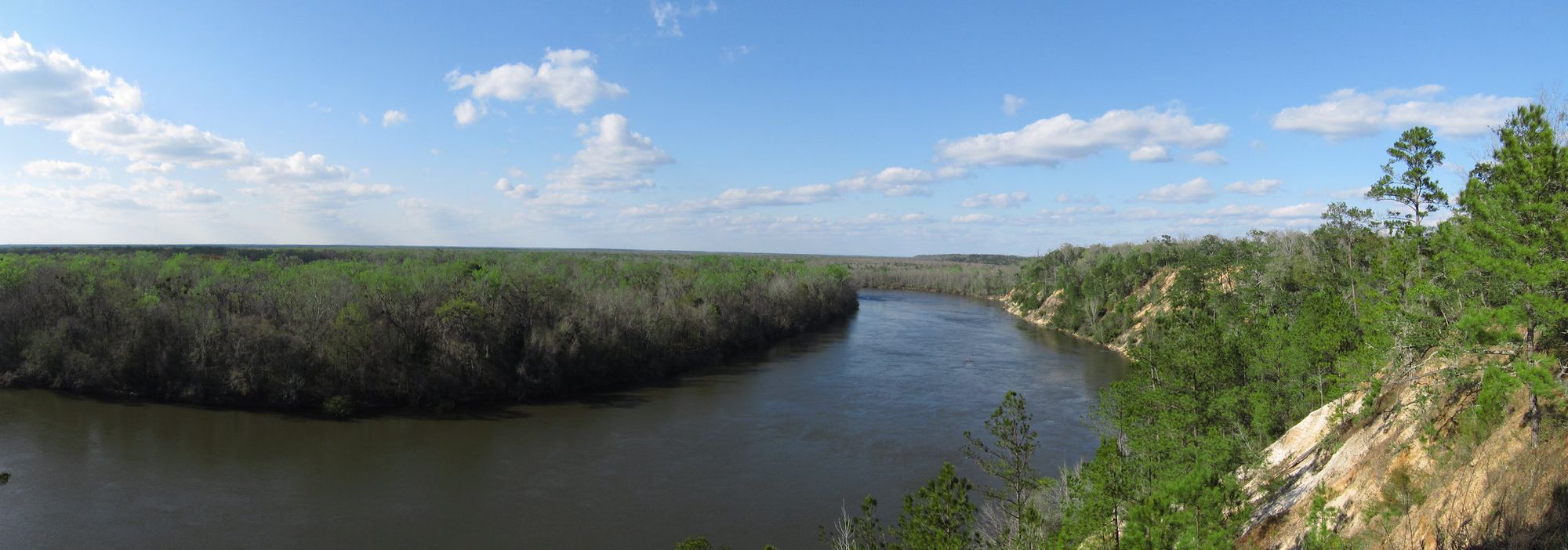
Apalachicola River
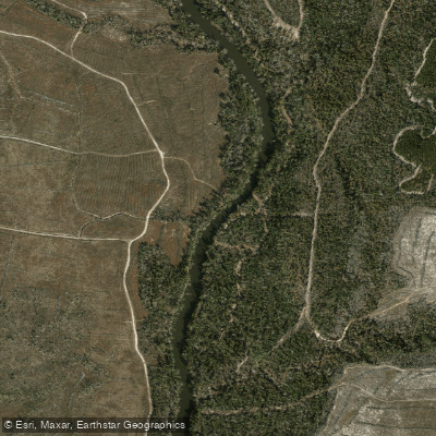
Chipola River
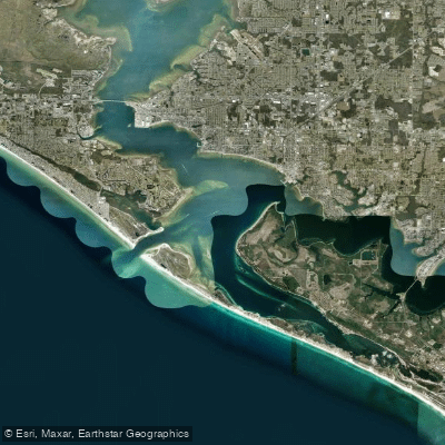
Saint Andrew Bay
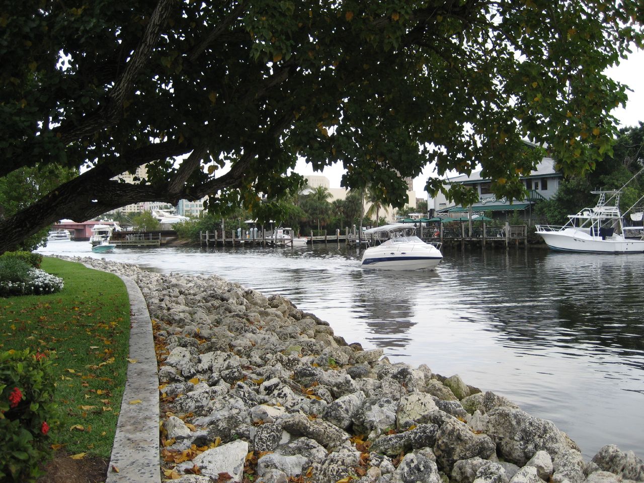
New River
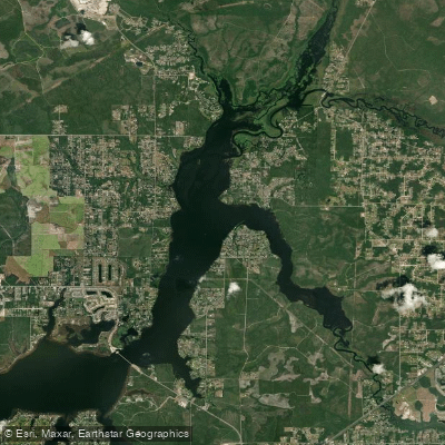
Deer Point Lake
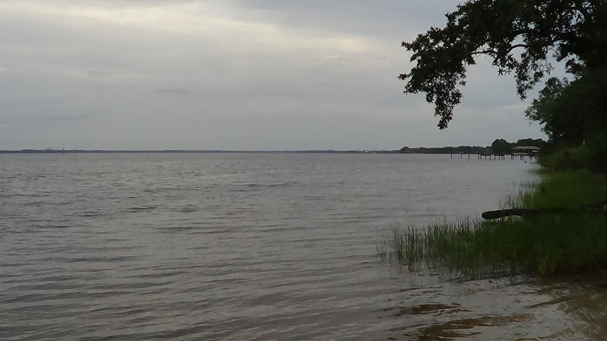
West Bay
Explore Florida waters
Top paddling waters
Popular Cities
Loading popular cities...
Explore near Lake Martin
Access points
Nearby waters
More in Florida

Smarter Paddling Starts in the App.
Paddleways gives you everything you need to plan smarter, paddle better, and own every trip from first launch to takeout.