East Bay
- Saltwater
- Bay
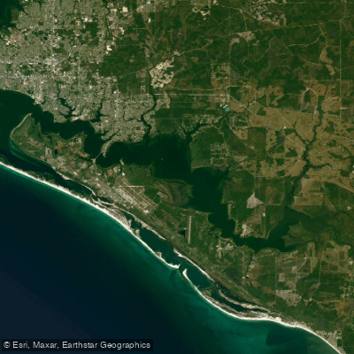
East Bay
- Saltwater
- Bay
- Sq. miles
- 29
- Boat Ramps
- 6
- Access Points
- 0
- Campsites
- 1
East Bay, referring to the urban saltwater bays and estuaries adjacent to Oakland and Alameda in California, offers a mix of protected and exposed paddling environments. Key public launch points include the Tidewater Boating Center off High Street in Oakland for estuary access, Encinal Beach in Alameda with its sandy beach entry, and the recently improved Bay Point Regional Shoreline which features a dedicated kayak launch with a 1,000-foot portage from the parking lot. The Berkeley Marina and its South Sailing Basin are also noted as popular, accessible launches suitable for all skill levels. Paddling conditions are heavily influenced by tides, currents, and wind, which are critical safety considerations. The area around Bay Point Regional Shoreline, providing access to Honker and Suisun Bays, experiences very strong currents, and tides are essential for trip planning; a tide of at least one foot is needed to paddle the protected area near that launch. Afternoon winds can be significant, particularly at the tip of the Berkeley Marina point. The open bay areas are exposed to wind and boat traffic, while the estuaries and marinas offer more sheltered, beginner-friendly water. The aesthetic is largely urban, with dramatic views of the San Francisco skyline, the Golden Gate Bridge, and industrial waterfronts, alongside quieter salt marshes and marinas. Wildlife sightings can include harbor seals, California brown pelicans, and a variety of coastal birds. Facilities vary by location, with some launches offering parking, restrooms, and picnic areas. For rentals and guided tours, outfitters like Sea Trek in Alameda and California Canoe & Kayak in Oakland's Jack London Square provide services. The East Bay Regional Park District mandates watercraft inspections for invasive species at its parks, with fees for inspection and launch.
Water access, boat ramps & amenities
Learn how to get on East Bay. Uncover great paddling access points, boat ramps, and all the facilities you need for an unforgettable day on the water. Some locations shown may border or include private property. Always check property boundaries and applicable regulations before visiting. PaddleWays's Public & Private Land layer can help you plan your access with confidence.
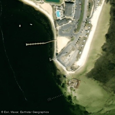
Earl Gilbert Park Public Boat Ramp
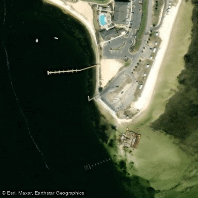
Earl Gilbert Park Boat Ramp
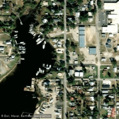
Bob George Park Boat Ramp
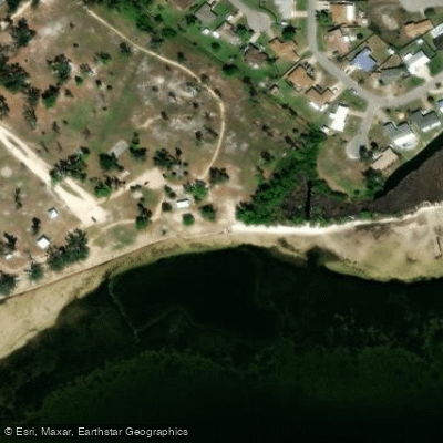
Under The Oaks Park Paddlecraft Beach
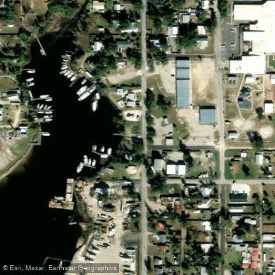
Bob George Park Public Boat Ramp
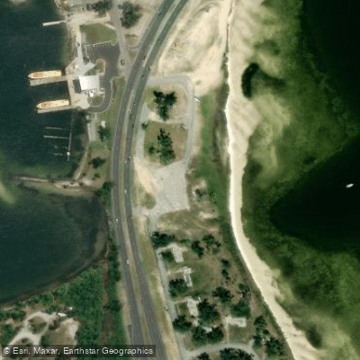
Tyndall Air Force Base - Dupont Bridge Boat Launch Beach (RESTRICTED ACCESS - PERMIT REQUIRED)
Paddle smarter with real-time insights
Whether you're en route and conditions shift or you're looking for the best spot based on current flows, we enable you to make informed decisions on the fly.








Find Places to Paddle

Over 400,000 Places to Paddle
Every user gets free access to launch points, boat ramps, and public property parcels.


Tides, wind & water conditions (10 day forecast)
On open water, wind and tide matter as much as the weather. See the best times to paddle East Bay and check the marine forecast before you launch.
Loading tide predictions…
Paddling near East Bay
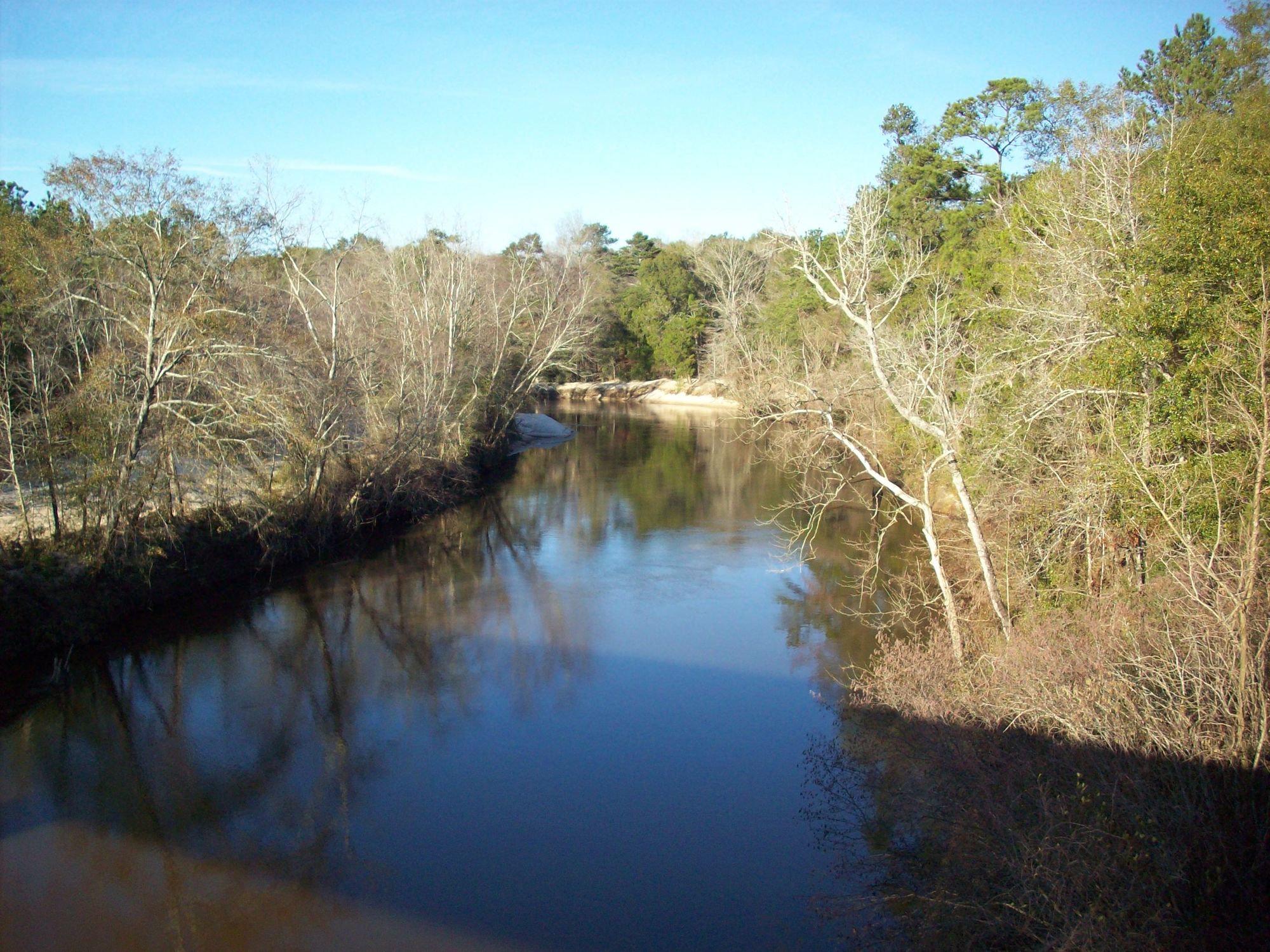
Choctawhatchee River
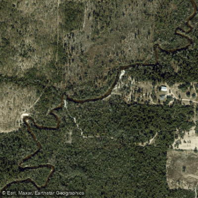
Econfina Creek
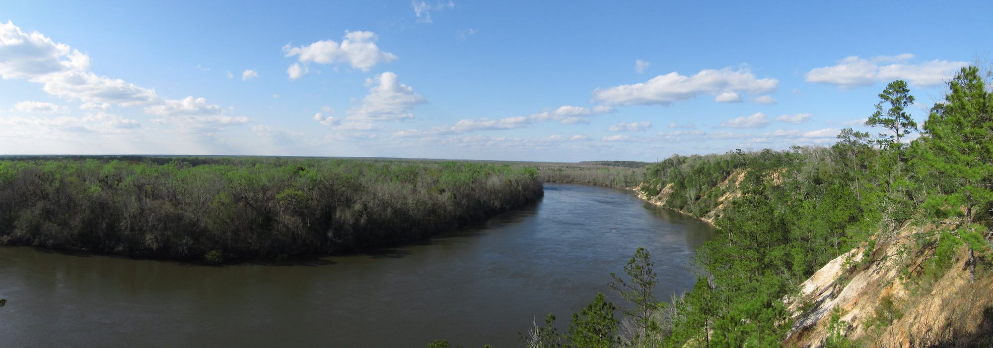
Apalachicola River
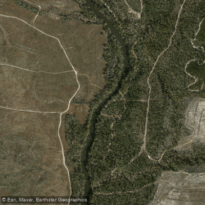
Chipola River
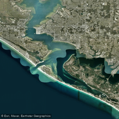
Saint Andrew Bay
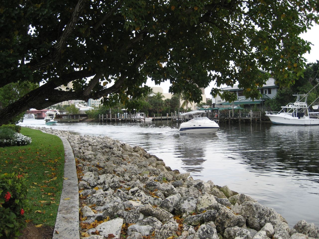
New River
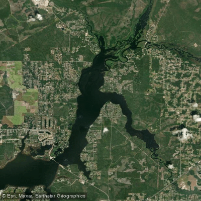
Deer Point Lake
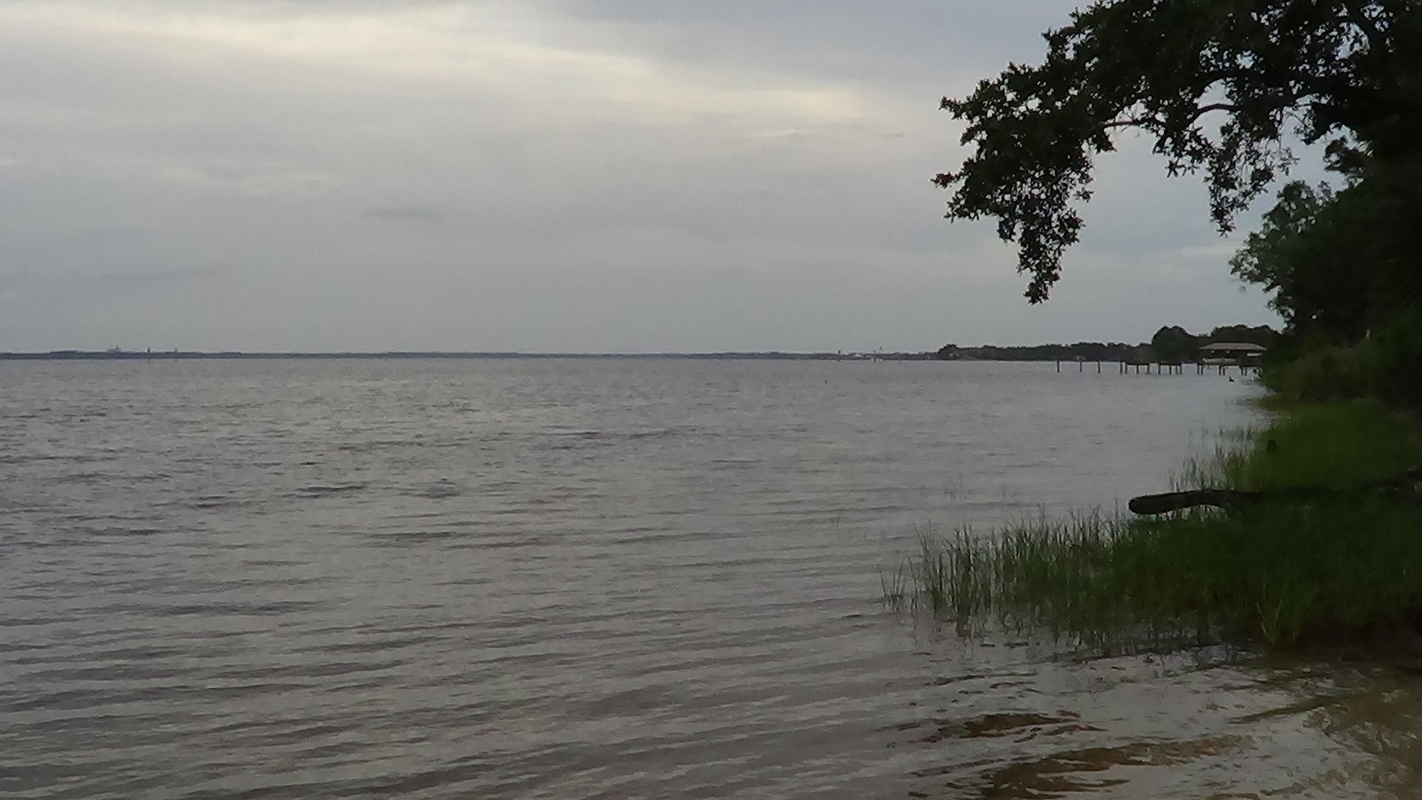
West Bay
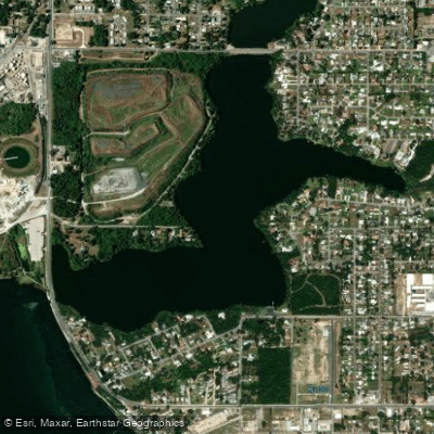
Lake Martin
Explore Florida waters
Top paddling waters
Popular Cities
Loading popular cities...
Explore near East Bay
Access points
- Earl Gilbert Park Public Boat Ramp
- Earl Gilbert Park Boat Ramp
- Bob George Park Boat Ramp
- Under The Oaks Park Paddlecraft Beach
- Bob George Park Public Boat Ramp
- Tyndall Air Force Base - Dupont Bridge Boat Launch Beach (RESTRICTED ACCESS - PERMIT REQUIRED)
- Boggy Creek Bridge
- Farmdale Bayou Bridge
- Callaway Bayou Bridge
- Laird Bayou Bridge
- Boggy Creek Bridge
- Callaway Bayou Bridge
- All 22 spots
Nearby waters
More in Florida

Smarter Paddling Starts in the App.
Paddleways gives you everything you need to plan smarter, paddle better, and own every trip from first launch to takeout.