Curated by PaddleWays
RouteFlatwater
- Distance
- 0.8 mi
- Paddle time
- ~0.5 hrs
- Best for
- Kayak, canoe
- Put-in → take-out
- Alaqua Creek Park Boat Ramp → Portland Park Boat Ramp
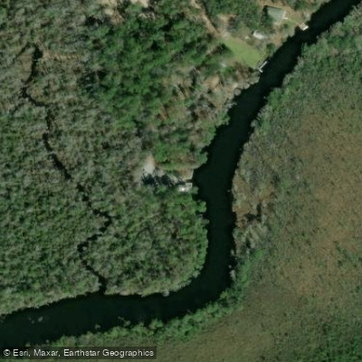
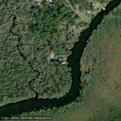
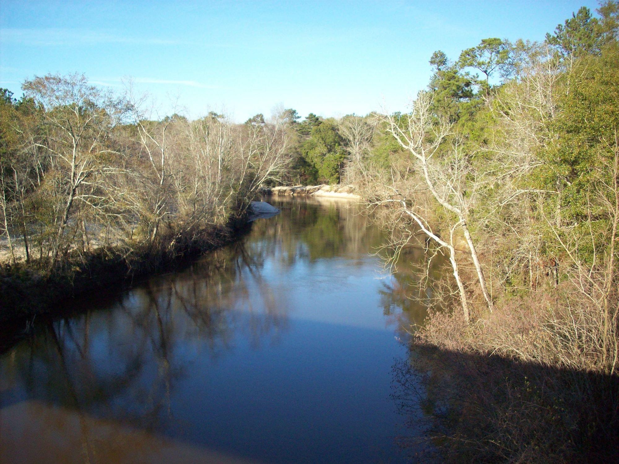
Alaqua Creek is a picturesque dark-water creek located in Walton County, Florida. Originating on Eglin Air Force Base, it flows south for approximately 15 miles before emptying into Choctawhatchee Bay. The creek winds through pristine floodplain forests and cypress swamps, offering paddlers a scenic journey through Northwest Florida's natural beauty.
The creek is divided into two main paddling sections. The upper portion, beginning on Eglin AFB, requires a recreation permit and offers a more remote, wilderness experience through rugged terrain and diverse botanical areas. The lower section, starting at Alaqua Creek Park near Freeport, is more accessible and popular among paddlers.
Alaqua Creek is primarily a flatwater paddle, suitable for beginners to intermediate paddlers. However, fallen trees and submerged obstacles can present challenges, especially after storms. The creek is best paddled during spring and fall when water levels are optimal and temperatures are mild. Summer can bring low water levels and increased insect activity.
The creek's ecosystem supports a rich variety of flora and fauna. Paddlers may spot alligators, turtles, and various wading birds. The surrounding forests showcase impressive cypress trees, water tupelos, and in some areas, rare pitcher plants.
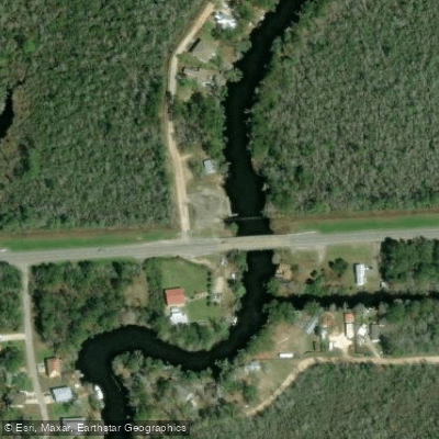
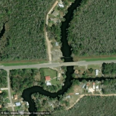
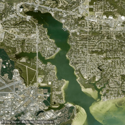
Key landmarks include the Highway 20 bridge, power line crossings, and the transition from creek to bayou as Alaqua approaches Choctawhatchee Bay. The main access points are Alaqua Creek Park in Freeport, which offers a concrete boat ramp and amenities, and Portland Park Boat Ramp, located about a mile downstream.
Historically, the creek and surrounding areas were utilized by Native American tribes and later became part of early European settlements. Today, much of the upper creek runs through Eglin AFB, preserving its natural state.
Safety considerations include checking water levels before paddling, being aware of submerged obstacles, and respecting wildlife. Eglin AFB regulations must be followed when accessing the upper portions of the creek.
For those seeking a longer adventure, a multi-day trip can be planned by combining the upper and lower sections, with primitive camping available on Eglin property (permit required). However, most paddlers opt for day trips on the more accessible lower section, enjoying the 5-mile stretch from Alaqua Creek Park to Alaqua Bayou.
Alaqua Creek offers a serene paddling experience that showcases the natural beauty of Florida's panhandle, providing both recreational opportunities and a glimpse into the region's rich ecological diversity.
Curated routes
Hand-picked by the PaddleWays team, with put-ins, take-outs, paddle times and the hazards along the way.
RouteFlatwater
Hazards
No hazards are marked on Alaqua Creek yet. That is not the same as none being there: if you find one, report it for the next paddler.
From the community
Nobody has shared a trip on Alaqua Creek yet. Paddle it, then tell the next paddler how it went.
See exactly where the public can get on and off the river. Launch points and boat ramps are paired with PaddleWays' public land data so you know where you can legally land.
Public shoreline
0%of the river's shoreline is public
Most of the riverbank is private. Launch, land and camp only at public access points.
Flows, weather and a route-by-route verdict, so you know which stretch of the Alaqua Creek is worth paddling today.
Live flows, marked hazards and fresh trip reports from paddlers who were just on the water, all in one place.





Every user gets free access to launch points, boat ramps, and public property parcels.
Loading popular cities...
PaddleWays gives you everything you need to plan smarter, paddle better, and own every trip from first launch to takeout.