North Bay
- Saltwater
- Bay
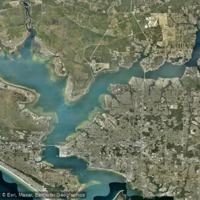
North Bay
- Saltwater
- Bay
- Sq. miles
- 15
- Boat Ramps
- 17
- Access Points
- 0
- Campsites
- 7
North Bay, specifically Tivoli North Bay, is a tidal marsh located on the Hudson River in Dutchess County, New York, near the town of Tivoli. The primary public access point for paddlers is a canoe launch located at the Kidd Lane Parking Areas, with coordinates at 42.046229°N, 73.906715°W. This launch is intended for car-top boat loading and unloading. The area is managed as the Tivoli Bays Wildlife Management Area by the NYSDEC, indicating it is a protected natural site. The paddling experience involves navigating winding tidal channels through the marsh. This environment offers views of the Catskill Mountains and is characterized by its unique tidal marsh ecosystem with notable plant life and wildlife. The NYSDEC Hudson River Research Reserve operates free, reservation-required educational canoe programs here, providing canoes, paddles, and safety gear for participants aged ten and up, with no prior experience necessary. For independent paddlers, a key safety consideration is the tidal nature of the water; paddlers should be prepared to be knee-deep in water during launch and landing, requiring sturdy water shoes or old sneakers rather than flip-flops. The overall character is that of a quiet, educational, and ecologically rich paddling destination focused on exploration of a protected tidal wetland.
Water access, boat ramps & amenities
Learn how to get on North Bay. Uncover great paddling access points, boat ramps, and all the facilities you need for an unforgettable day on the water. Some locations shown may border or include private property. Always check property boundaries and applicable regulations before visiting. PaddleWays's Public & Private Land layer can help you plan your access with confidence.
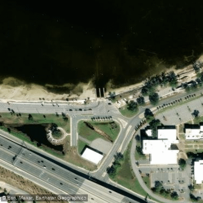
Carl Gray Park Public Boat Ramp
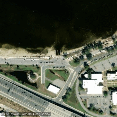
Carl Gray Park Boat Ramp
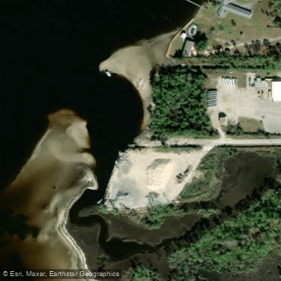
McKenzie Road Boat Ramp
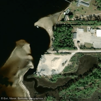
McKenzie Road Public Boat Ramp
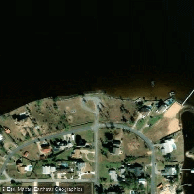
Issac Bryrd Park Paddlecraft Access
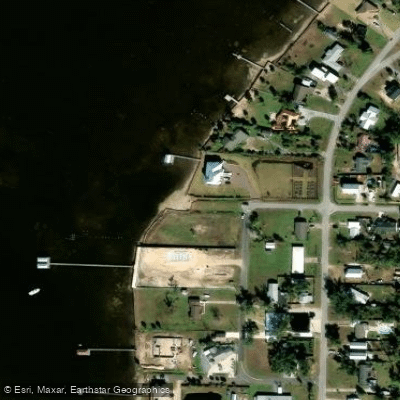
Bay County 26th Street Park Paddlecraft Access
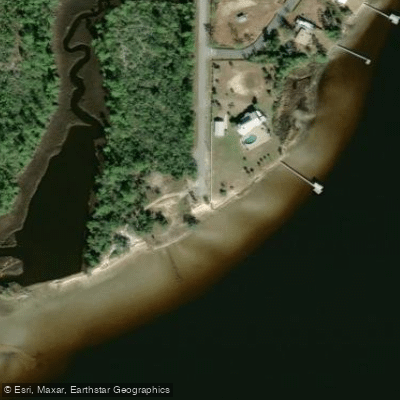
Sandra Road Road Paddlecraft Access
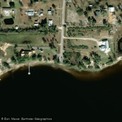
Grassy Point Road Paddlecraft Access
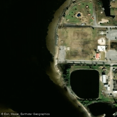
Lynn Haven A.L. Kinsaul Park Paddlecraft Access
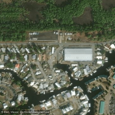
Bayside Marina of Panama City Beach Boat Ramp
Paddle smarter with real-time insights
Whether you're en route and conditions shift or you're looking for the best spot based on current flows, we enable you to make informed decisions on the fly.








Find Places to Paddle

Over 400,000 Places to Paddle
Every user gets free access to launch points, boat ramps, and public property parcels.


Tides, wind & water conditions (10 day forecast)
On open water, wind and tide matter as much as the weather. See the best times to paddle North Bay and check the marine forecast before you launch.
Loading tide predictions…
Paddling near North Bay
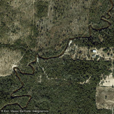
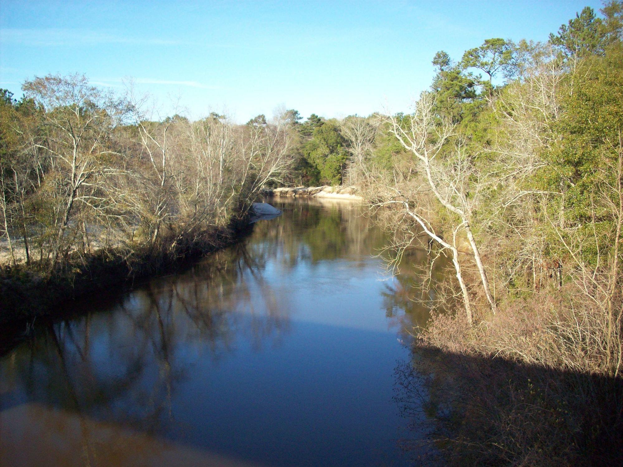
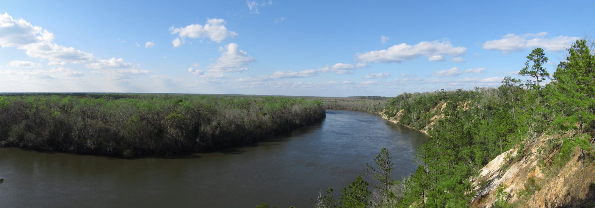
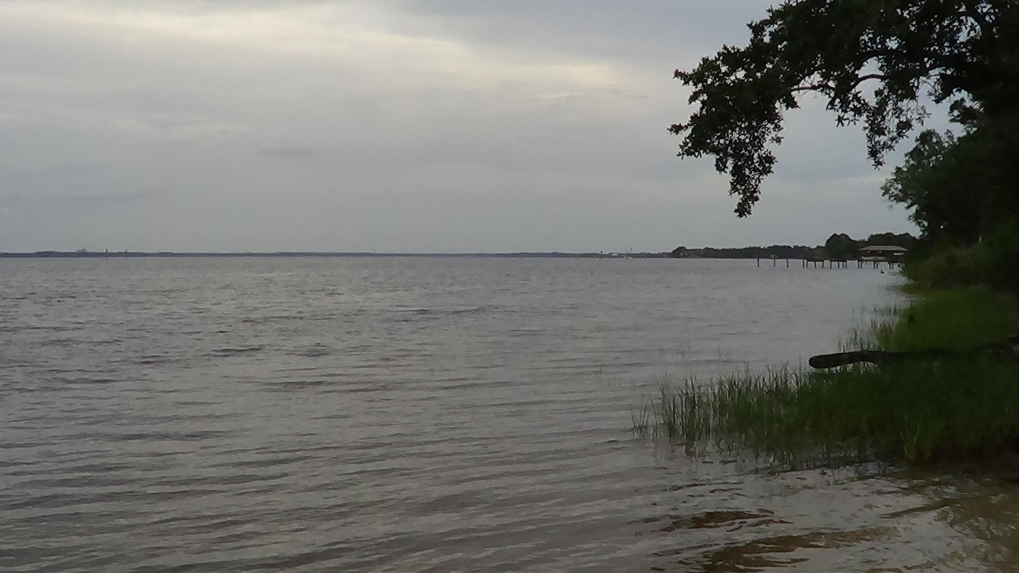
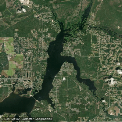
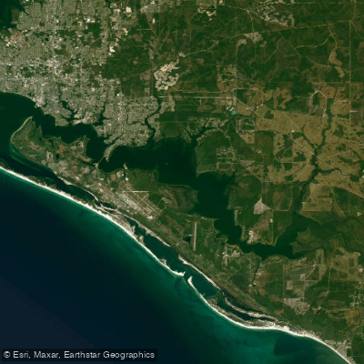
Explore Florida waters
Top paddling waters
Popular Cities
Loading popular cities...
Explore near North Bay
Access points
- Carl Gray Park Public Boat Ramp
- Carl Gray Park Boat Ramp
- McKenzie Road Boat Ramp
- McKenzie Road Public Boat Ramp
- Issac Bryrd Park Paddlecraft Access
- Bay County 26th Street Park Paddlecraft Access
- Sandra Road Road Paddlecraft Access
- Grassy Point Road Paddlecraft Access
- Lynn Haven A.L. Kinsaul Park Paddlecraft Access
- Bayside Marina of Panama City Beach Boat Ramp
- Bay County - 25th Street Paddlecraft Access
- McCall-Everitt Park - North Bay Boat Ramp
- All 31 spots
Nearby waters
More in Florida

Smarter Paddling Starts in the App.
Paddleways gives you everything you need to plan smarter, paddle better, and own every trip from first launch to takeout.