Big Hickory Pass
- Saltwater
- Pass
Big Hickory Pass
- Saltwater
- Pass
- Sq. miles
- 4.5
- Boat Ramps
- 0
- Access Points
- 0
- Campsites
- 2
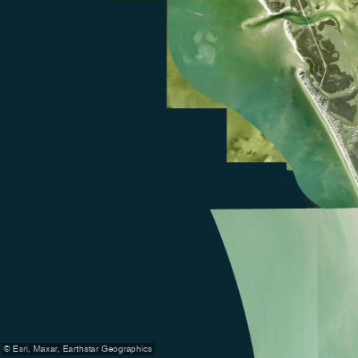
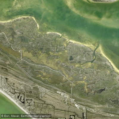
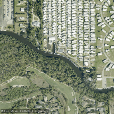
Big Hickory Pass is a tidal waterway providing access from Estero Bay to the Gulf of Mexico, located near Bonita Springs and the southern end of Fort Myers Beach. The pass separates Big Hickory Island from the mainland and Little Hickory Island. The primary paddling character involves exploring protected mangrove tunnels and channels on the bay side, with access to secluded Gulf beaches only reachable by water. The area is part of the Big Hickory Island Preserve, an undeveloped barrier island with environmentally sensitive mangrove swamps and beaches.
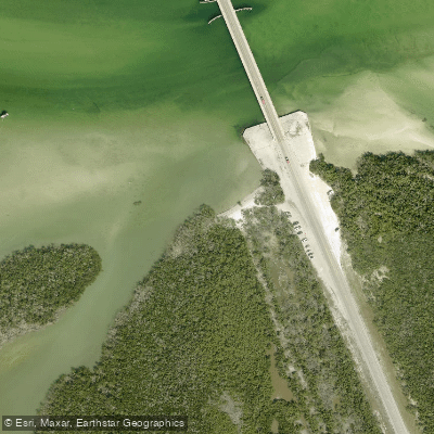
For paddlers, there are several key launch points. A common and easily accessible launch is from the Bonita Beach Causeway, right before crossing the Big Hickory Pass bridge, which offers free parking. Another primary launch used by outfitters is the "middle of Big Hickory Island," with coordinates at approximately 26.366976, -81.856623, where a large gravel parking area exists on the west side of Estero Boulevard. A third launch is noted at the south end near the Big Hickory Pass bridge itself, which is used during very low morning tides when other launches may be impractical. There are no restroom facilities at these launch sites.
Paddling conditions are heavily influenced by tide and wind. The area is explicitly tidal, and very low tides in winter mornings can restrict water access, necessitating use of the bridge launch. While open areas of Estero Bay are subject to wind, the intricate mangrove trails provide sheltered paddling. The water in the channels is shallow, clear, and calm, making it suitable for beginners. There is no heavy boat traffic reported in the paddling areas. A significant safety consideration is that paddling on the open bay requires attention to wind and tide, and guided tours are recommended for those unfamiliar with local conditions to navigate the calmest routes.
Wildlife sightings are a major feature, with frequent observations of wading birds such as pelicans, herons, egrets, and osprey year-round. In the warm water months, manatees and dolphins are commonly seen. The mangrove ecosystems are dense, and a short paddle from the launches leads to a private, shell-laden beach on the Gulf side, ideal for a stop. Guided tours typically last around 2.5 hours, combining mangrove exploration with beach time. The overall experience is relaxed and accessible, with outfitters offering rentals and tours daily, though advance booking is typically required.
Water access, boat ramps & amenities
Learn how to get on Big Hickory Pass. Uncover great paddling access points, boat ramps, and all the facilities you need for an unforgettable day on the water. Some locations shown may border or include private property. Always check property boundaries and applicable regulations before visiting. PaddleWays's Public & Private Land layer can help you plan your access with confidence.
Paddle smarter with real-time insights
Whether you're en route and conditions shift or you're looking for the best spot based on current flows, we enable you to make informed decisions on the fly.








Find Places to Paddle

Over 400,000 Places to Paddle
Every user gets free access to launch points, boat ramps, and public property parcels.


Tides, wind & water conditions (10 day forecast)
On open water, wind and tide matter as much as the weather. See the best times to paddle Big Hickory Pass and check the marine forecast before you launch.
Loading tide predictions…
Paddling near Big Hickory Pass
Explore Florida waters
Top paddling waters
Popular Cities
Loading popular cities...
Explore near Big Hickory Pass
Access points
Nearby waters
More in Florida

Smarter Paddling Starts in the App.
Paddleways gives you everything you need to plan smarter, paddle better, and own every trip from first launch to takeout.