Estero Bay
- Saltwater
- Bay
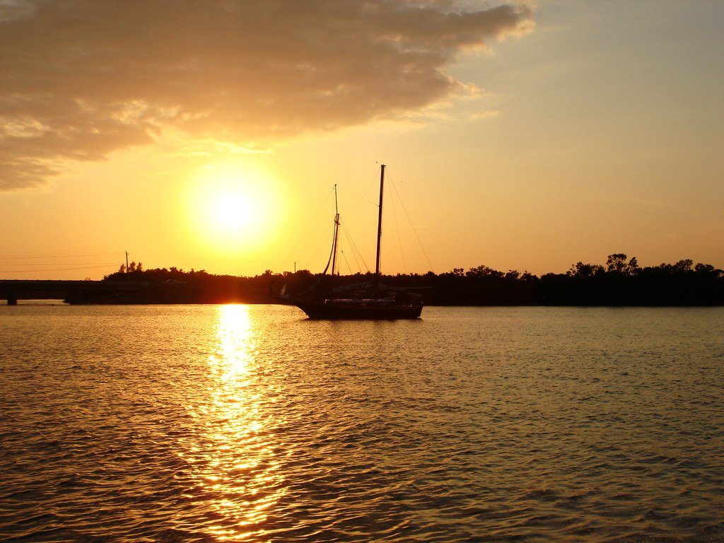
Estero Bay
- Saltwater
- Bay
- Sq. miles
- 12
- Boat Ramps
- 9
- Access Points
- 0
- Campsites
- 9
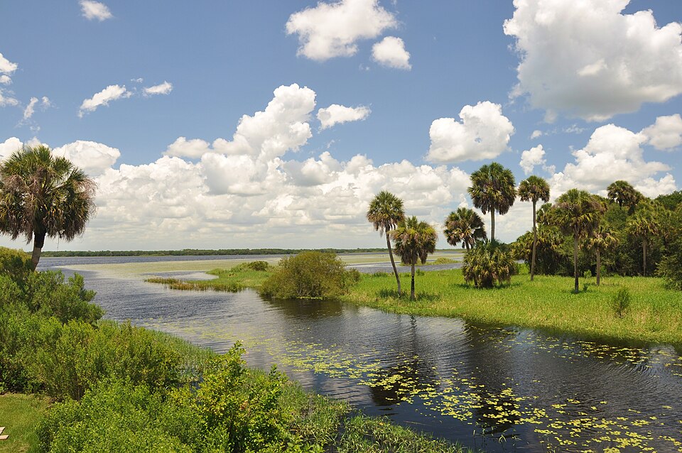
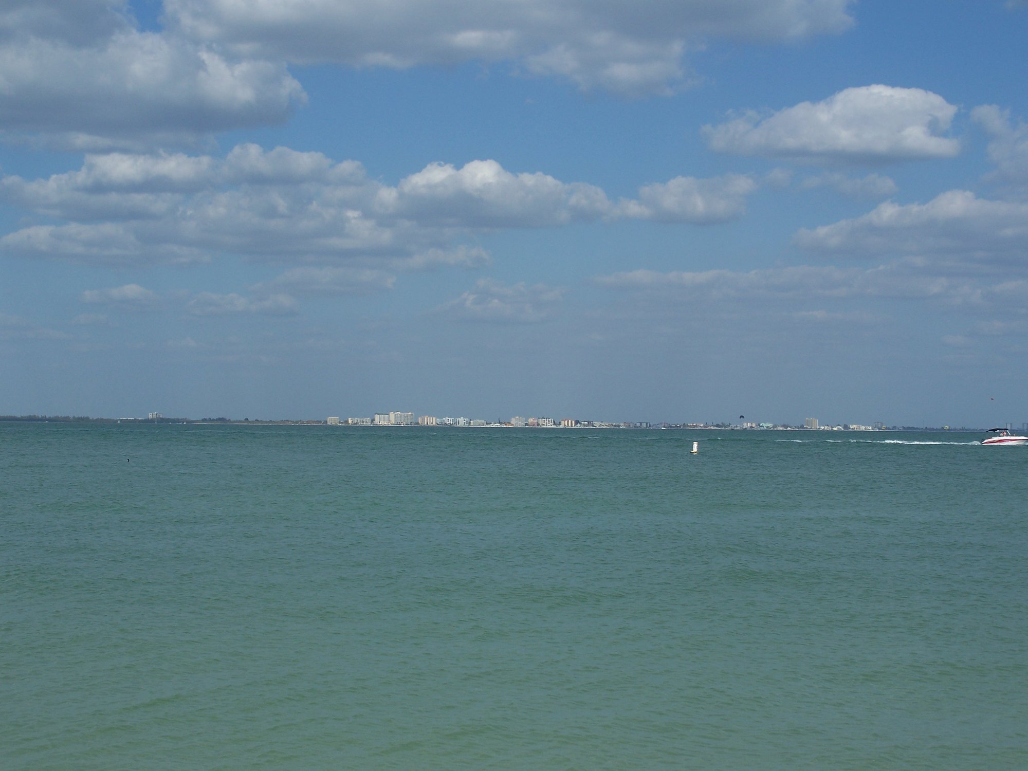
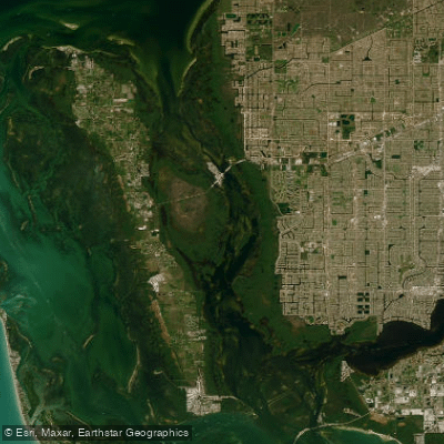
Estero Bay is a large, open coastal bay in Southwest Florida, part of the Great Calusa Blueway paddling trail system. The bay is characterized by extensive mangrove shorelines, backwaters, and several islands, creating a mix of open water and sheltered passages. Paddlers can access the bay via several key launch points. The Estero River, a spring-fed tidal river, provides a popular inland route, with launches available at Estero River Outfitters on Tamiami Trail and at Koreshan State Historic Site, which has a boat ramp. From the outfitters, it is 4.5 miles downstream to the bay. Other access points include Lovers Key State Park and launches in Bonita Springs for the Imperial River, another tributary. The entire nine-mile designated paddling trail on Estero Bay is considered suitable for intermediate paddlers who must be comfortable with open water conditions, including wind and potential boat traffic. A notable hazard is powerboat activity, particularly in the lower Estero River and open bay areas, requiring vigilance. The bay's maze-like mangrove tunnels and backwaters, such as in Hell Peckney Bay, offer protection from boat traffic and wind. A primary destination is Mound Key Archaeological State Park, an island consisting of large shell middens located approximately 4.5 miles west from Koreshan State Park. Paddling to Mound Key involves crossing open bay. Tidal currents significantly influence paddling, especially on the tributary rivers; trips should be planned with tidal stages in mind, and guided tours often schedule departures around tidal conditions. The area is rich in wildlife, with frequent sightings of dolphins, manatees, and a variety of coastal birds. The water is generally clear and shallow in the backcountry areas, allowing visibility of marine life like starfish and sand dollars. Facilities are limited to the launch sites; Koreshan State Park charges a vehicle entry fee. The bay offers a range of experiences from historical exploration to remote, natural paddling through mangrove ecosystems.
Water access, boat ramps & amenities
Learn how to get on Estero Bay. Uncover great paddling access points, boat ramps, and all the facilities you need for an unforgettable day on the water. Some locations shown may border or include private property. Always check property boundaries and applicable regulations before visiting. PaddleWays's Public & Private Land layer can help you plan your access with confidence.
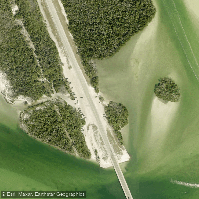
New Pass - Dog Beach - Bayside Kayak Access
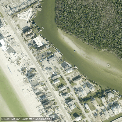
Bonita Beach - Melody Lane Right of Way (Not Recommended - No Parking)
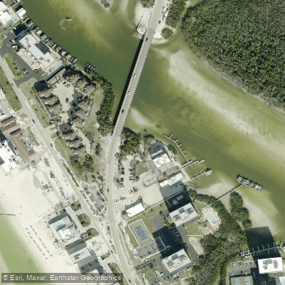
Bay Park North Primitive Boat Ramp (Limited Parking)
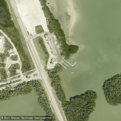
Lovers Key State Park - Motor Boat Launch
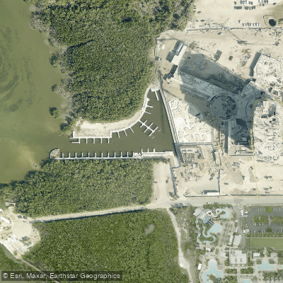
Week's Fish Camp
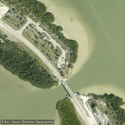
Lovers Key State Park - Little Carlos Pass Kayak Access
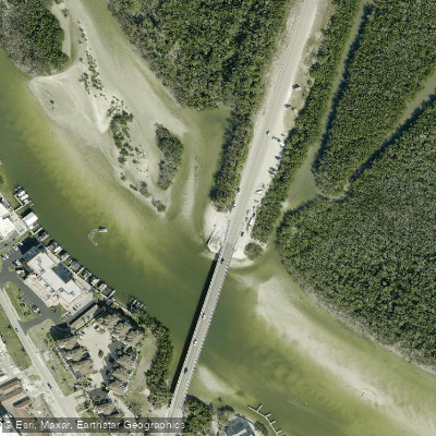
Big Hickory Pass Kayak Access
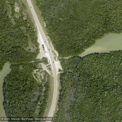
Big Hickory Island Water Tower - Bay Side Kayak Access
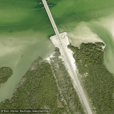
New Pass - Big Hickory Island Kayak Access
Paddle smarter with real-time insights
Whether you're en route and conditions shift or you're looking for the best spot based on current flows, we enable you to make informed decisions on the fly.








Find Places to Paddle

Over 400,000 Places to Paddle
Every user gets free access to launch points, boat ramps, and public property parcels.


Tides, wind & water conditions (10 day forecast)
On open water, wind and tide matter as much as the weather. See the best times to paddle Estero Bay and check the marine forecast before you launch.
Loading tide predictions…
Paddling near Estero Bay
Explore Florida waters
Top paddling waters
Popular Cities
Loading popular cities...
Explore near Estero Bay
Access points
- New Pass - Dog Beach - Bayside Kayak Access
- Bonita Beach - Melody Lane Right of Way (Not Recommended - No Parking)
- Bay Park North Primitive Boat Ramp (Limited Parking)
- Lovers Key State Park - Motor Boat Launch
- Week's Fish Camp
- Lovers Key State Park - Little Carlos Pass Kayak Access
- Big Hickory Pass Kayak Access
- Big Hickory Island Water Tower - Bay Side Kayak Access
- New Pass - Big Hickory Island Kayak Access
- Spring Creek Bridge
- Imperial River Bridge
- Estero River Bridge
- All 37 spots
Nearby waters
More in Florida

Smarter Paddling Starts in the App.
Paddleways gives you everything you need to plan smarter, paddle better, and own every trip from first launch to takeout.