Sanibel Bayou
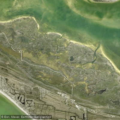
Sanibel Bayou
- Boat Ramps
- 1
- Access Points
- 1
- Campsites
- 0
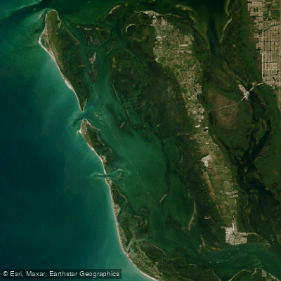
Sanibel Bayou offers paddlers a diverse experience as part of the Great Calusa Blueway, a 190-mile paddling trail in Southwest Florida. The bayou's distance varies, providing flexibility for different skill levels. Launch points include Sanibel at the Causeway, Tarpon Bay Road, and Bowman's Beach.
Paddlers can explore the nearby Tarpon Bay and Commodore Creek Kayak Trail. Tarpon Bay features an 8-mile loop, while the Commodore Creek Trail extends 2.5 miles through mangrove forests. The area is tidal, so paddlers should be aware of changing water levels.
Wildlife viewing is a highlight, with opportunities to spot dolphins, manatees, ospreys, pelicans, herons, and various wading birds. The J.N. "Ding" Darling National Wildlife Refuge, accessible from Tarpon Bay, is home to 245 bird species and offers additional paddling routes.
Paddlers should be prepared for potentially windy conditions, especially when crossing open water areas like Tarpon Bay. Sticking close to the shoreline on the sheltered side can provide an easier paddling experience. Motor boats may also be present in some areas.
Tarpon Bay Explorers, located within the wildlife refuge, offers kayak rentals, guided tours, and launch facilities for a fee. They provide amenities such as fishing equipment rentals and kayak loading assistance. Other outfitters on the island also offer rental and tour options.
The best time for paddling is when winds are below 10 mph, which is particularly important for novice kayakers. The area is suitable for year-round paddling, with late spring to early fall offering warmer waters.
Paddlers should be mindful of narrow spots in mangrove tunnels and use the numbered trail markers to avoid getting lost. The area's natural beauty, abundant wildlife, and mix of open bays and mangrove-lined waterways create a memorable paddling experience for both beginners and experienced kayakers.
Water access, boat ramps & amenities
Learn how to get on Sanibel Bayou. Uncover great paddling access points, boat ramps, and all the facilities you need for an unforgettable day on the water. Some locations shown may border or include private property. Always check property boundaries and applicable regulations before visiting. PaddleWays's Public & Private Land layer can help you plan your access with confidence.
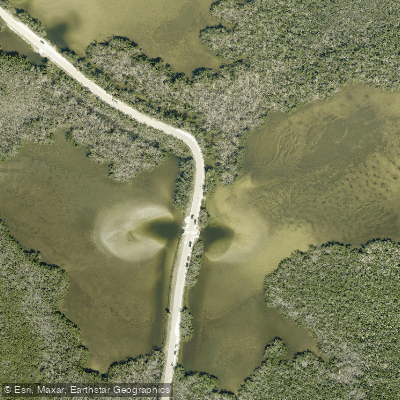
Paddle smarter with real-time insights
Whether you're en route and conditions shift or you're looking for the best spot based on current flows, we enable you to make informed decisions on the fly.








Find Places to Paddle

Over 400,000 Places to Paddle
Every user gets free access to launch points, boat ramps, and public property parcels.


Water and weather conditions (10 day forecast)
See the best times to paddle Sanibel Bayou and check the forecast before you go.
No forecast data available.
Paddling near Sanibel Bayou
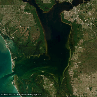
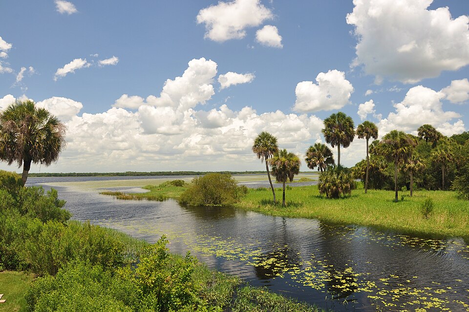
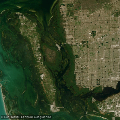
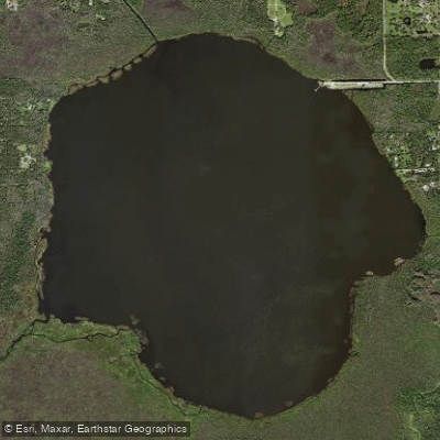
Explore Florida waters
Top paddling waters
Popular Cities
Loading popular cities...
Explore near Sanibel Bayou

Smarter Paddling Starts in the App.
Paddleways gives you everything you need to plan smarter, paddle better, and own every trip from first launch to takeout.