Curated by PaddleWays
RouteFlatwater
- Distance
- 3.5 mi
- Paddle time
- ~1 hr
- Best for
- Kayak, canoe
- Put-in → take-out
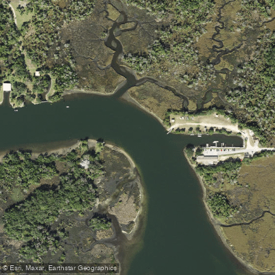
- Dive Shop At The Port Hotel & Marina Boat Ramp → Crystal River Preserve State Park - Visitor Center Kayak Launch
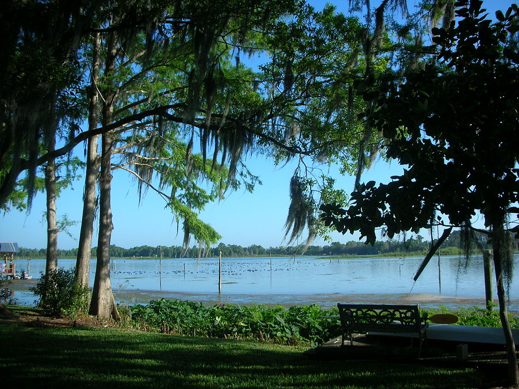
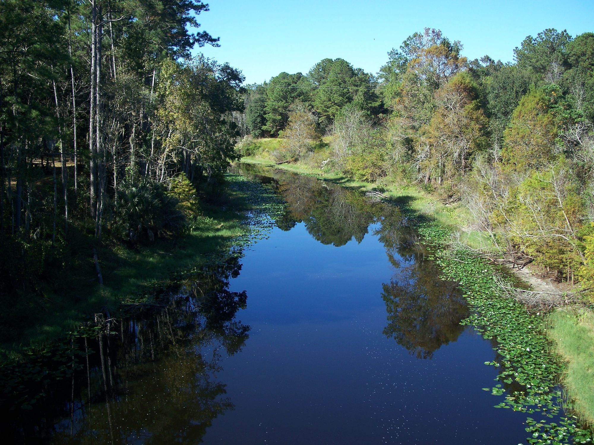
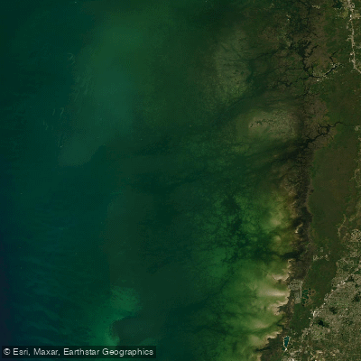
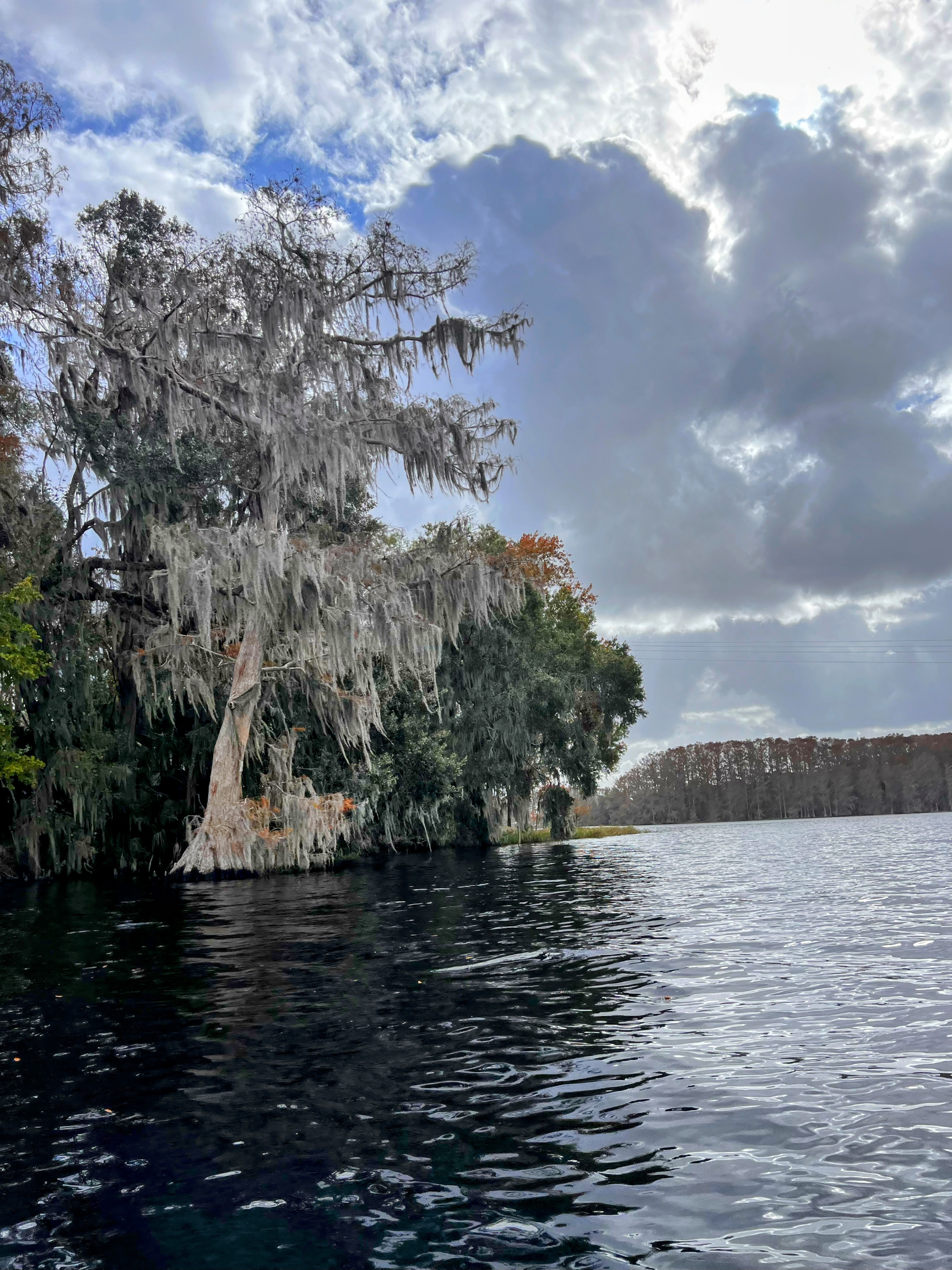
The Crystal River in Florida emerges from the remarkable spring system of Kings Bay in Citrus County, flowing westward for approximately seven miles before reaching the Gulf of Mexico. This unique waterway originates from over 70 freshwater springs, with 28 of the 30 total springs concentrated within Kings Bay itself, creating the crystal-clear waters that give the river its name. The constant 72-degree spring water maintains year-round temperatures that support an extraordinary ecosystem and provide critical habitat for the endangered West Indian manatee.
Paddling opportunities on the Crystal River system range from gentle flatwater exploration suitable for beginners to more challenging open-water sections requiring intermediate skills. The most popular paddling areas center around Kings Bay and the famous Three Sisters Springs, where paddlers can navigate through crystal-clear waters with exceptional underwater visibility. The main river channel offers a 7-mile journey from Kings Bay to the Gulf, passing numerous spring outlets including Jurassic Spring, House Spring, and Hunter Spring. More adventurous paddlers can explore the Fort Island area, Shell Island circumnavigation routes, and the extensive canal systems within Crystal River Preserve State Park. The river system accommodates all skill levels, though wind conditions and tidal influences of approximately 2.5 feet can affect difficulty, particularly in the more open sections of Kings Bay. Water depths vary from mere inches in shallow areas to 12 feet in the main channel, with very little current due to tidal control.
Seasonal patterns significantly impact the paddling experience, with November 15 through March 31 designated as manatee season when 400-500 manatees seek refuge in the warm springs. During this period, certain areas are closed to all watercraft to protect resting manatees, while the remainder of the year offers full access to spring runs and sanctuary areas.
The river's ecosystem supports remarkable biodiversity beyond its famous manatee population, including dolphins, sea turtles, various fish species, numerous bird species, and occasional otters. The mixing of freshwater springs with Gulf saltwater creates a unique brackish environment supporting over 400 species of fish, birds, and mammals.
Primary access points include Hunter Springs Park, Kings Bay Park, Pete's Pier, and Crystal River Preserve State Park, all located within the city of Crystal River, approximately 60 miles north of Tampa. The Crystal River National Wildlife Refuge, established in 1983 specifically for manatee protection, encompasses much of the paddling area and maintains strict regulations for wildlife protection. The river holds significant cultural importance as part of Florida's Nature Coast, with archaeological sites protected within Crystal River Preserve State Park's 30,000 acres.
Safety considerations include awareness of heavy motorboat traffic, respect for manatee protection zones, and preparation for changing weather and tidal conditions in open water areas.
Curated routes
Hand-picked by the PaddleWays team, with put-ins, take-outs, paddle times and the hazards along the way.
RouteFlatwater
Hazards
No hazards are marked on Crystal River yet. That is not the same as none being there: if you find one, report it for the next paddler.
From the community
Nobody has shared a trip on Crystal River yet. Paddle it, then tell the next paddler how it went.
See exactly where the public can get on and off the river. Launch points and boat ramps are paired with PaddleWays' public land data so you know where you can legally land.
Public shoreline
28%of the river's shoreline is public
Most of the riverbank is private. Launch, land and camp only at public access points.
Flows, weather and a route-by-route verdict, so you know which stretch of the Crystal River is worth paddling today.
All Flow Stations
Live flows, marked hazards and fresh trip reports from paddlers who were just on the water, all in one place.





Every user gets free access to launch points, boat ramps, and public property parcels.
Loading popular cities...
PaddleWays gives you everything you need to plan smarter, paddle better, and own every trip from first launch to takeout.





