Doctors Pass
- Saltwater
- Pass
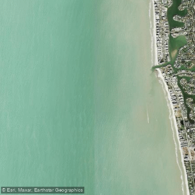
Doctors Pass
- Saltwater
- Pass
- Sq. miles
- 1.3
- Boat Ramps
- 0
- Access Points
- 0
- Campsites
- 2
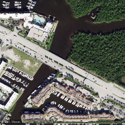
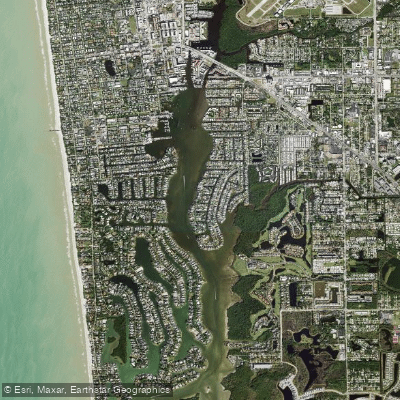
Doctors Pass is a narrow, rock-jettied inlet in North Naples, Florida, that connects Moorings Bay to the Gulf of Mexico. It is spanned by a bridge on Gulf Shore Boulevard North. The pass is shallower, narrower, and more prone to shoaling than the larger Gordon Pass to the south, making it a secondary inlet primarily used by smaller recreational boats from the surrounding residential canal systems. A key public access point for paddlers is Via Miramar Beach, located at 2699 Gulf Shore Blvd. N., where a short walk south leads to the jetty at Doctors Pass. Some residential areas, like The Moorings, offer private kayak launches. The paddling experience is defined by its coastal, engineered character, with rock jetties framing the entrance and a network of sheltered residential canals inland. The area sees boat traffic, and paddlers must navigate a designated 20-foot-wide access channel in Moorings Bay that cannot be obstructed. Strong tidal currents are a noted hazard in the region's passes, and the shallow, shoal-prone nature of Doctors Pass requires attention to tide stages, particularly at low tide. Paddling out through the pass provides direct access to the Gulf of Mexico, enabling longer trips, such as a three-mile southbound paddle along the coast to Clam Pass. The surrounding waterway is part of the Florida Circumnavigational Saltwater Paddling Trail. Wildlife includes dolphins, and the jetty rocks attract fish. The area is maintained by the Moorings Bay Special Taxing District, which focuses on water quality and navigability, including maintenance dredging.
Water access, boat ramps & amenities
Learn how to get on Doctors Pass. Uncover great paddling access points, boat ramps, and all the facilities you need for an unforgettable day on the water. Some locations shown may border or include private property. Always check property boundaries and applicable regulations before visiting. PaddleWays's Public & Private Land layer can help you plan your access with confidence.
Paddle smarter with real-time insights
Whether you're en route and conditions shift or you're looking for the best spot based on current flows, we enable you to make informed decisions on the fly.








Find Places to Paddle

Over 400,000 Places to Paddle
Every user gets free access to launch points, boat ramps, and public property parcels.


Tides, wind & water conditions (10 day forecast)
On open water, wind and tide matter as much as the weather. See the best times to paddle Doctors Pass and check the marine forecast before you launch.
Loading tide predictions…
Paddling near Doctors Pass
Explore Florida waters
Top paddling waters
Popular Cities
Loading popular cities...
Explore near Doctors Pass
Access points
Nearby waters
More in Florida

Smarter Paddling Starts in the App.
Paddleways gives you everything you need to plan smarter, paddle better, and own every trip from first launch to takeout.