Naples Bay
- Saltwater
- Bay
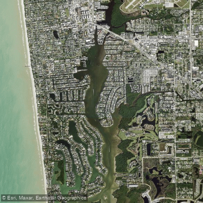
Naples Bay
- Saltwater
- Bay
- Sq. miles
- 0.8
- Boat Ramps
- 4
- Access Points
- 0
- Campsites
- 2
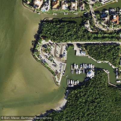
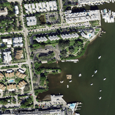
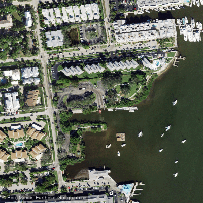
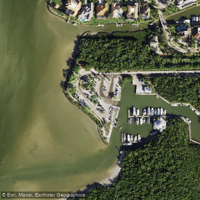
Naples Bay is a sheltered tidal bay in southwest Florida, providing direct access to the Gulf of Mexico. It is characterized by calm, protected waters suitable for beginner paddlers, with winding mangrove trails along its shoreline. The bay's waters are tidal, and paddlers are advised to time their trips around slack tide for the easiest conditions. Primary public access for kayaks and paddleboards is available at Bayview Park Public Boat Ramp, located at 1500 Danford St. This facility offers a concrete boat ramp, courtesy docks, trailer parking, restrooms, picnic areas, and ADA accessibility, with a reported fee for use and daytime-only hours. Another public access point is Naples Landing Park, a downtown park and boat launch offering views of the bay. Commercial outfitters like Naples Bay Resort and Marina also provide kayak and paddleboard rentals and launches. The bay is a gateway to exploring coastal mangrove forests and connecting waterways, with common wildlife sightings including dolphins, manatees, otters, egrets, herons, ospreys, and various fish. Paddlers can explore from the bay into the adjacent winding mangrove trails and, for more ambitious trips, connect to areas like the Gordon River, Keewaydin Island, and the broader Ten Thousand Islands ecosystem. The area is suitable for paddling year-round, with light morning winds often recommended for stand-up paddleboarding. The main considerations for paddlers are tidal currents, potential motorized boat traffic from the active marina and launch ramps, and verifying current access rules and hours at public facilities before departure.
Water access, boat ramps & amenities
Learn how to get on Naples Bay. Uncover great paddling access points, boat ramps, and all the facilities you need for an unforgettable day on the water. Some locations shown may border or include private property. Always check property boundaries and applicable regulations before visiting. PaddleWays's Public & Private Land layer can help you plan your access with confidence.
Paddle smarter with real-time insights
Whether you're en route and conditions shift or you're looking for the best spot based on current flows, we enable you to make informed decisions on the fly.








Find Places to Paddle

Over 400,000 Places to Paddle
Every user gets free access to launch points, boat ramps, and public property parcels.


Tides, wind & water conditions (10 day forecast)
On open water, wind and tide matter as much as the weather. See the best times to paddle Naples Bay and check the marine forecast before you launch.
Loading tide predictions…
Paddling near Naples Bay
Explore Florida waters
Top paddling waters
Popular Cities
Loading popular cities...
Explore near Naples Bay
Access points
Nearby waters
More in Florida

Smarter Paddling Starts in the App.
Paddleways gives you everything you need to plan smarter, paddle better, and own every trip from first launch to takeout.