Little Marco Pass
- Saltwater
- Pass
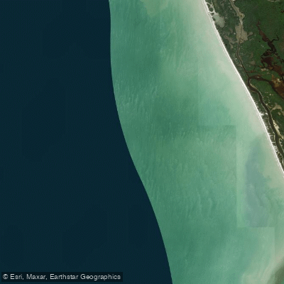
Little Marco Pass
- Saltwater
- Pass
- Sq. miles
- 5.3
- Boat Ramps
- 0
- Access Points
- 0
- Campsites
- 1
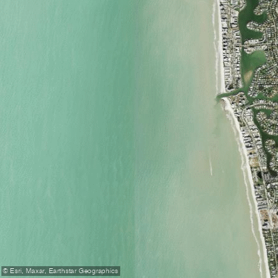
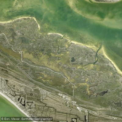
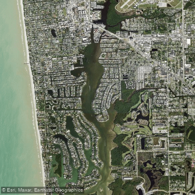
Little Marco Pass is a shallow, natural, and unmaintained tidal inlet located in the Ten Thousand Islands of Southwest Florida, cutting a narrow gap between the south end of Keewaydin Island and the north tip of Little Marco Island, just south of the jettied Gordon Pass. It is characterized by its shifting, shoaling nature, with sandbars that migrate frequently due to storms and longshore currents, as there is no dredging or channel marking. This makes navigation highly dependent on tide stage and local knowledge. The pass is best navigated near high tide to avoid grounding on the extensive, mobile sandbars. For paddlers, this means careful tide planning is essential; the pass will have the strongest currents during tidal exchanges, and paddling with a rising or falling tide will significantly affect speed and effort. The aesthetic is one of a wild, low-profile coastal cut, featuring a narrow lane of blue-green moving water bordered by sandy shores held together by sea oats and scattered mangroves.
The area is part of the Florida Circumnavigational Saltwater Paddling Trail, and a public kayak launch is noted nearby, providing access. The pass is exposed to the Gulf of Mexico, so paddlers should be prepared for wind and fetch across open water, and should be vigilant for boat traffic, particularly near the adjacent, busier Gordon Pass. Wildlife sightings regularly include shorebirds and wading birds working the exposed sandbars. Collier County regulations prohibit taking any live shells from the area, requiring that only empty shells be collected. Given its unmarked and dynamic state, paddlers should carry detailed nautical charts, such as those covering from Estero Island to Little Marco Island or from Little Marco Pass to Big Marco River, which include shoals and other hazards. The pass offers a quiet contrast to the engineered inlets nearby, suitable for experienced paddlers comfortable with variable conditions and self-navigation.
Water access, boat ramps & amenities
Learn how to get on Little Marco Pass. Uncover great paddling access points, boat ramps, and all the facilities you need for an unforgettable day on the water. Some locations shown may border or include private property. Always check property boundaries and applicable regulations before visiting. PaddleWays's Public & Private Land layer can help you plan your access with confidence.
Paddle smarter with real-time insights
Whether you're en route and conditions shift or you're looking for the best spot based on current flows, we enable you to make informed decisions on the fly.








Find Places to Paddle

Over 400,000 Places to Paddle
Every user gets free access to launch points, boat ramps, and public property parcels.


Tides, wind & water conditions (10 day forecast)
On open water, wind and tide matter as much as the weather. See the best times to paddle Little Marco Pass and check the marine forecast before you launch.
Loading tide predictions…
Paddling near Little Marco Pass
Explore Florida waters
Top paddling waters
Popular Cities
Loading popular cities...
Explore near Little Marco Pass

Smarter Paddling Starts in the App.
Paddleways gives you everything you need to plan smarter, paddle better, and own every trip from first launch to takeout.