East Lake Tohopekaliga
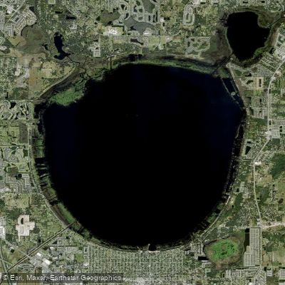
East Lake Tohopekaliga
- Boat Ramps
- 4
- Access Points
- 4
- Campsites
- 6
East Lake Tohopekaliga, also known as East Lake Toho, is a 12,000-acre circular lake located in Osceola County, Florida. With an average depth of 10-14 feet and a maximum depth of 18 feet, the lake has a predominantly clean, hard bottom with some shell beds and rock structures. The water has a noticeable tannic acid stain common to Florida's natural lakes, but remains relatively clear with visibility up to 7-9 feet in some areas.
The lake's shoreline features a narrow band of perimeter reeds and thin grasses, with less vegetation compared to nearby West Lake Tohopekaliga. The northwest corner of the lake contains more extensive plant growth. Fells Cove in the northeast corner connects to the C-29 canal, linking East Lake Toho to the upper watershed lakes.
East Lake Toho is renowned for its excellent bass fishing, particularly during the winter months. The lake also supports populations of crappie, bluegill, and redear sunfish. Anglers can access the lake via public boat ramps, with one located at the south end of the lake.
Wildlife enthusiasts will appreciate the opportunity to observe various bird species, including great blue herons, snowy egrets, wood storks, and ospreys. The lake's ecosystem provides habitat for alligators, which paddlers should be aware of and maintain a safe distance from.
The St. Cloud Canal exits the southwest corner of East Lake Toho, connecting it to West Lake Tohopekaliga. However, boat passage between the lakes is not possible due to a lock (S-59) on the canal.
For paddlers seeking amenities, East Lake Fish Camp offers a restaurant on the lakeshore. The lake's proximity to Orlando and major attractions like Universal Studios and Disney World makes it a convenient destination for visitors to Central Florida looking to experience natural Florida.
Water access, boat ramps & amenities
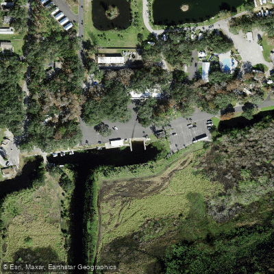
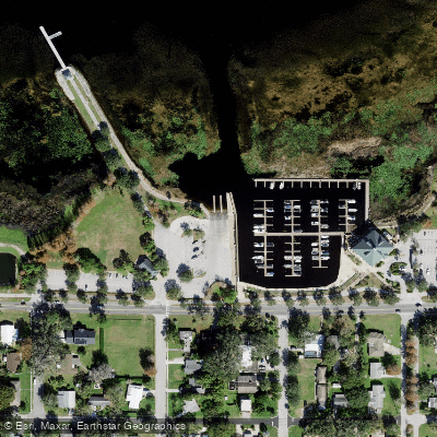
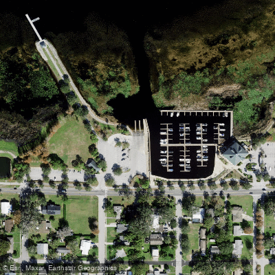
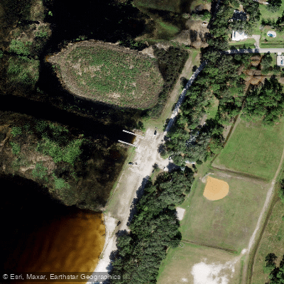
Learn how to get on East Lake Tohopekaliga. Uncover great paddling access points, boat ramps, and all the facilities you need for an unforgettable day on the water. Some locations shown may border or include private property. Always check property boundaries and applicable regulations before visiting. PaddleWays's Public & Private Land layer can help you plan your access with confidence.
Paddle smarter with real-time insights
Whether you're en route and conditions shift or you're looking for the best spot based on current flows, we enable you to make informed decisions on the fly.








Find Places to Paddle

Over 400,000 Places to Paddle
Every user gets free access to launch points, boat ramps, and public property parcels.


Water and weather conditions (10 day forecast)
See the best times to paddle East Lake Tohopekaliga and check the forecast before you go.
No forecast data available.
Paddling near East Lake Tohopekaliga
Lake Tohopekaliga
Kissimmee River
Indian River

Saint Johns River
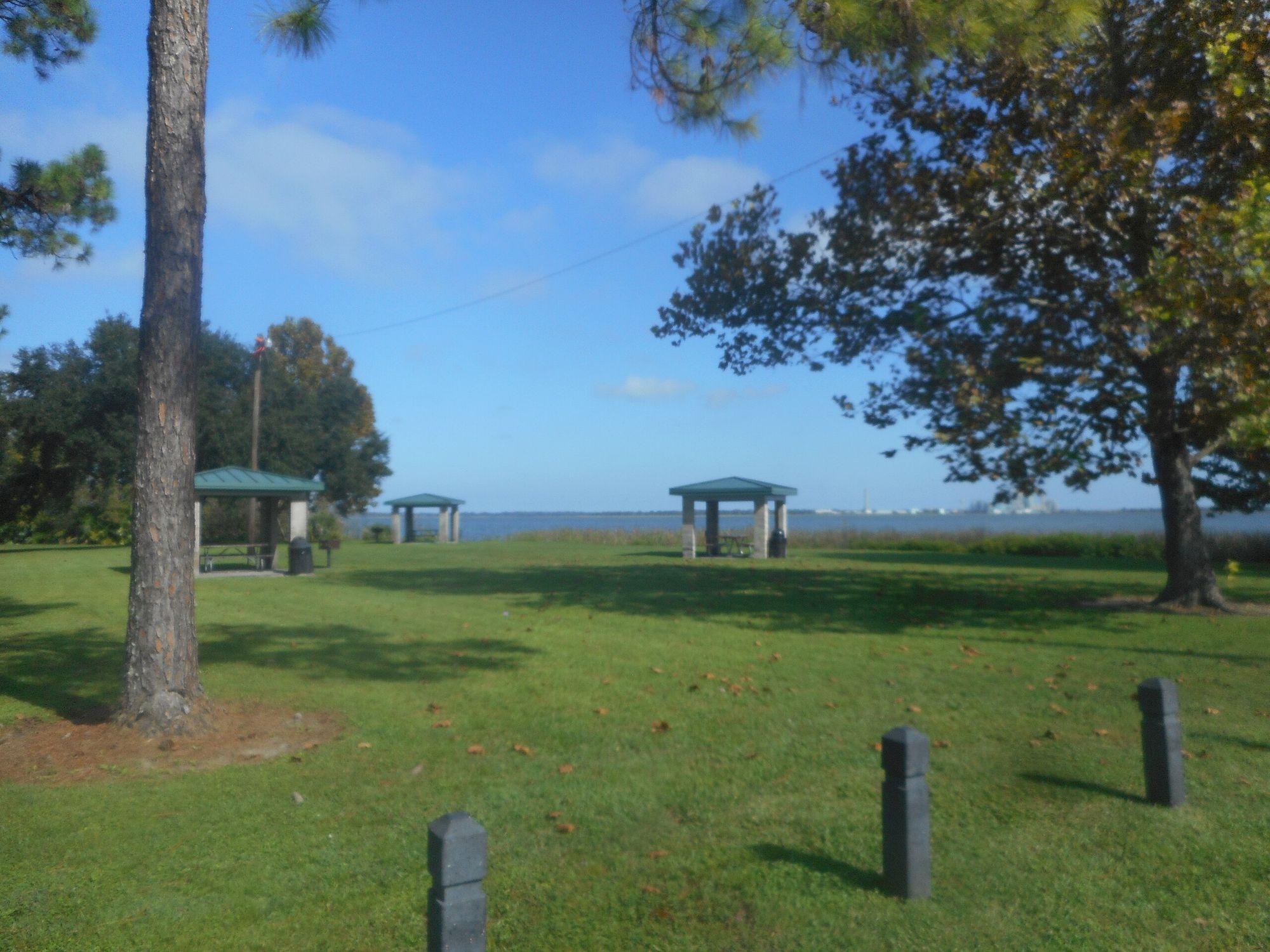
Lake Parker
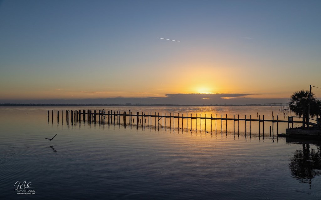
Indian River Lagoon
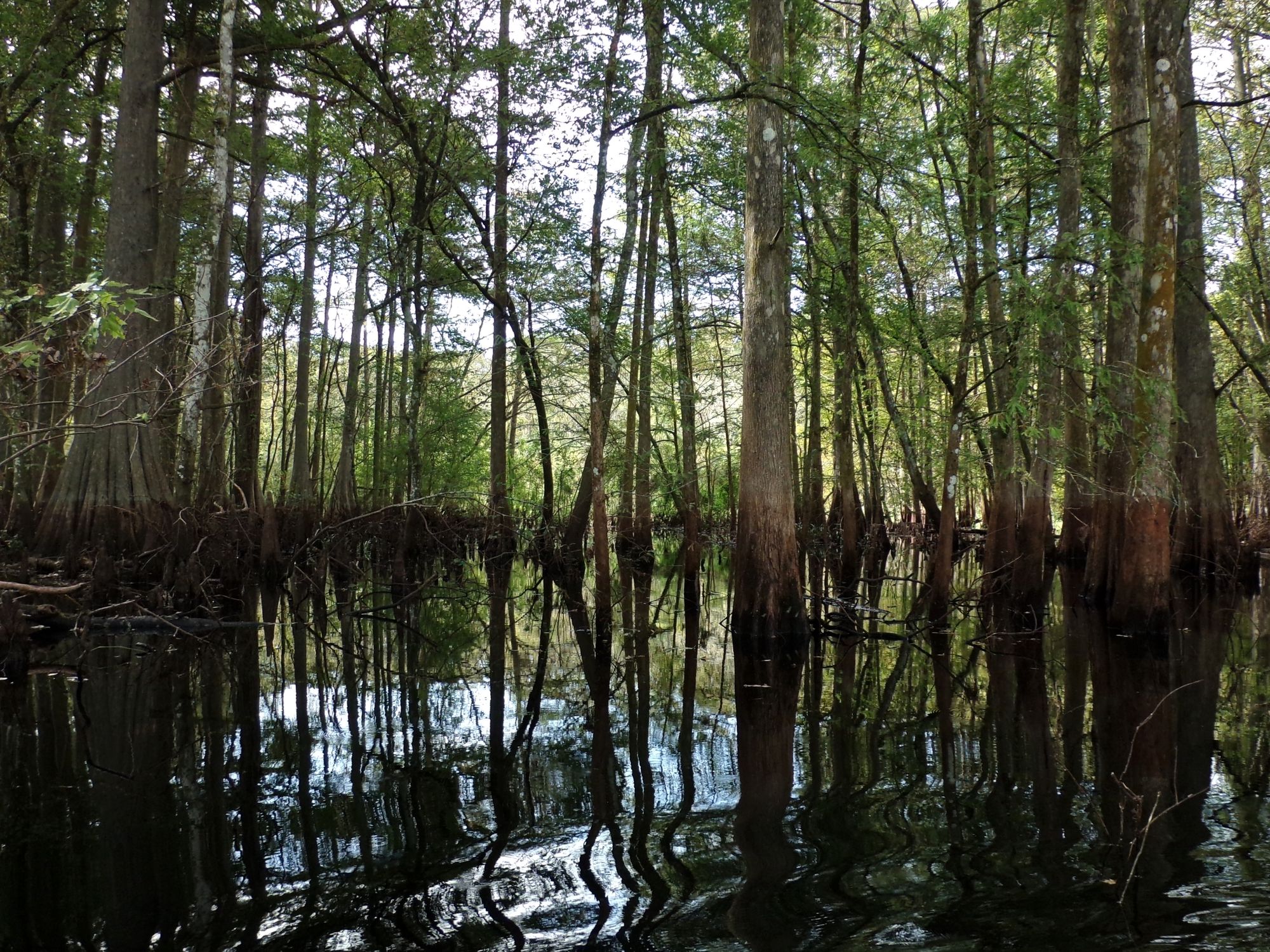
Withlacoochee River
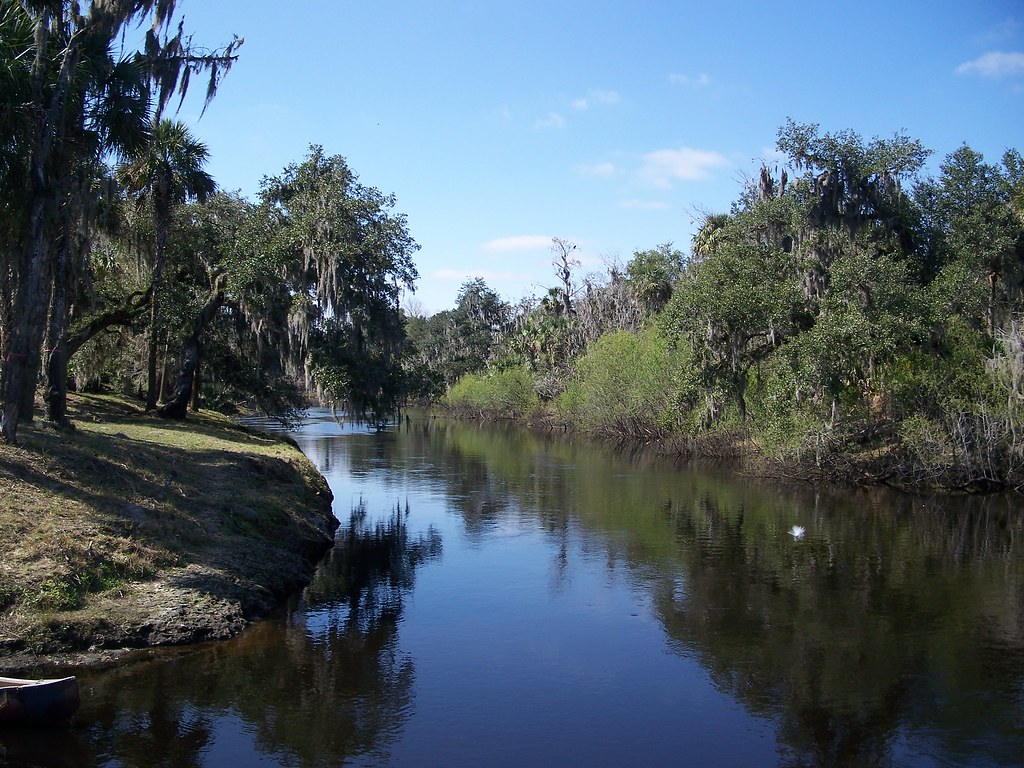
Peace River
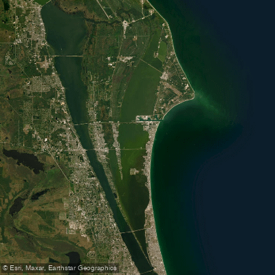
Banana River
Explore Florida waters
Top paddling waters
Popular Cities
Loading popular cities...
Explore near East Lake Tohopekaliga
Access points
- East Lake Public Boat Ramp
- St. Cloud Lakefront Park Boat Ramp
- St. Cloud - Lakefront Park Boat Ramp
- St. Cloud - Ralph V. Chisholm Regional Park & Boat Ramp
- St Cloud Canal C-31 Bridge
- Jim Branch Bridge
- Boggy Creek Bridge
- St. Cloud Canal Bridge
- St. Cloud Canal C-31 Bridge
- C 31 Canal Bridge
- Boggy Creek Bridge
- Bass Slough Bridge
- All 34 spots
Nearby waters
More in Florida

Smarter Paddling Starts in the App.
Paddleways gives you everything you need to plan smarter, paddle better, and own every trip from first launch to takeout.