Curated by PaddleWays
RouteFlatwater
- Distance
- 22.9 mi
- Paddle time
- ~7.5 hrs
- Put-in → take-out
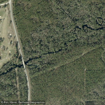
- Perry Access → Fenholloway River Boat Ramp
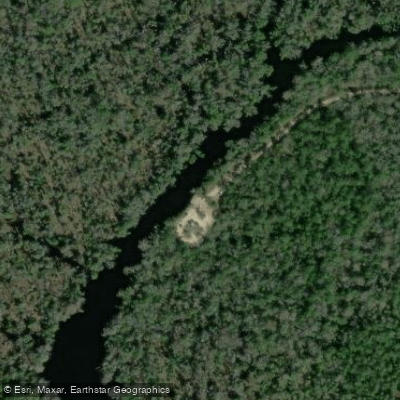
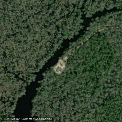
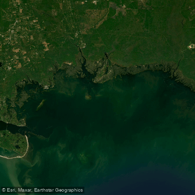
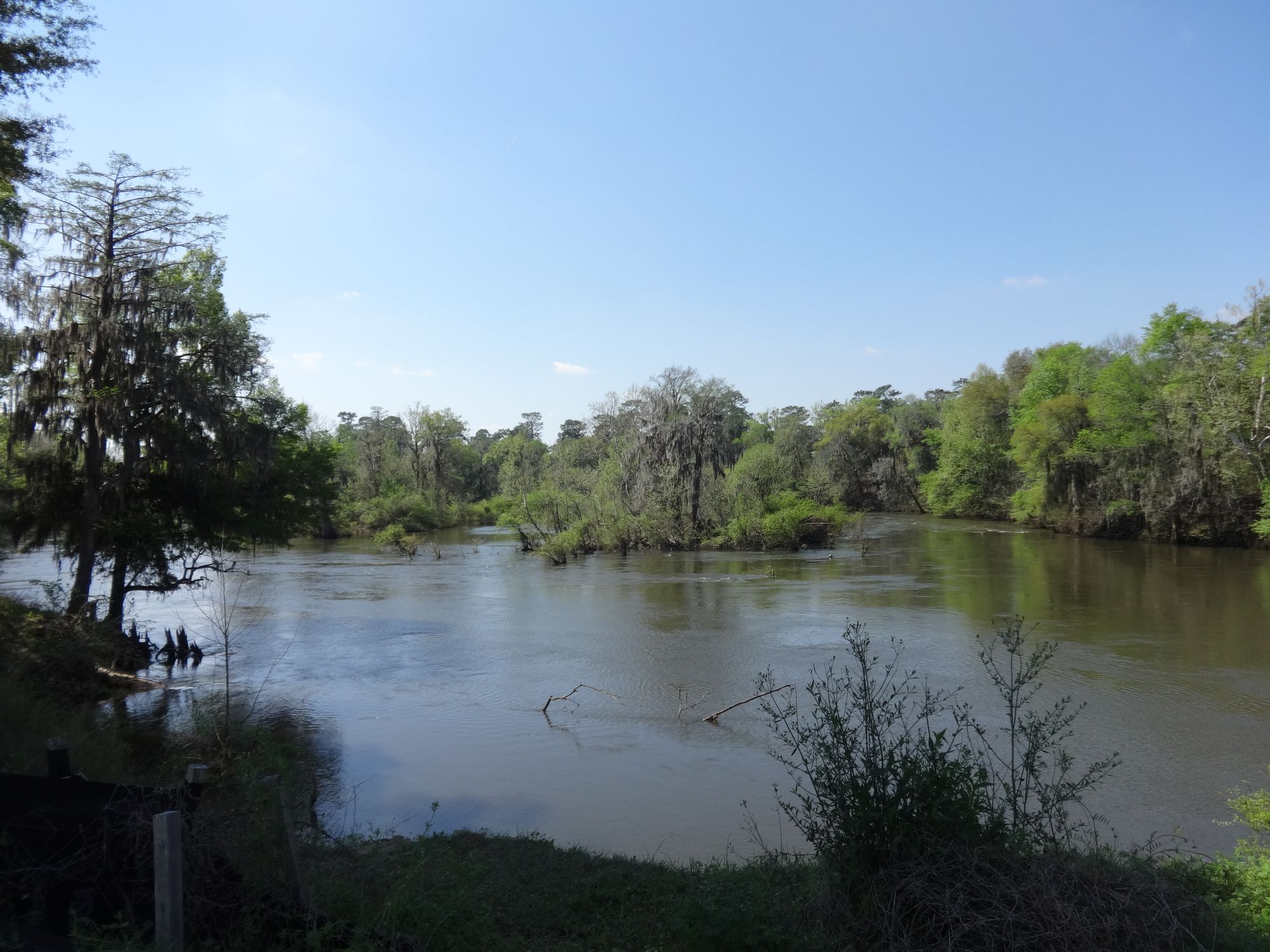
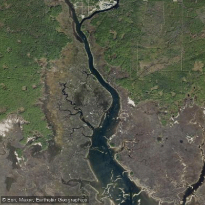
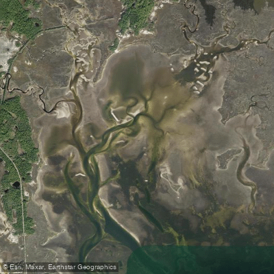
The Fenholloway River is a 36-mile scenic waterway located in Taylor County, Florida. Originating near the town of Perry, this russet-colored river flows southwest through coastal marshes and tidal creeks before emptying into the Gulf of Mexico. The river is part of the larger Big Bend region watershed.
Paddling opportunities on the Fenholloway River cater primarily to flatwater kayakers and canoeists. The main stem offers a 36-mile journey from Perry to the Gulf, while the lower section provides a shorter 10-mile trip from Econfina Resort landing to the river mouth. The river's difficulty is generally considered easy to moderate, suitable for paddlers with basic skills. However, tidal influences near the Gulf can create more challenging conditions requiring some coastal paddling experience.
Spring and fall offer ideal paddling conditions with mild temperatures and lower chances of afternoon thunderstorms common in summer. Winter can provide peaceful paddling, though cooler temperatures may be a factor.
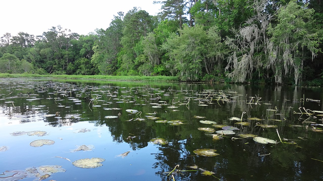
The river's ecosystem supports diverse wildlife, including various fish species and coastal birds. Paddlers may encounter alligators, turtles, and potentially manatees near the Gulf. The surrounding landscape features a mix of pine flatwoods, salt marshes, and coastal hammocks.
Key landmarks include the Foley Cellulose mill near Perry, a notable industrial presence along the upper river. As paddlers approach the Gulf, they'll pass Rock Island, located about two miles from the river's mouth and marking the eastern boundary of a popular scalloping area.
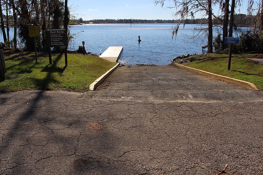
Primary access points include boat ramps near Perry for the upper section, Econfina Resort landing for the lower section, and various points near the river mouth. The nearby towns of Perry and Steinhatchee provide amenities for paddlers.
Historically, the Fenholloway River has played a significant role in the region's economy, particularly through the paper mill industry. In recent decades, efforts have been made to balance economic interests with environmental conservation, as the river has faced pollution challenges.
Safety considerations include being aware of tidal influences near the Gulf, potential water quality issues related to industrial effluent, and standard paddling precautions such as checking weather forecasts and wearing life jackets.
For those seeking multi-day adventures, the Fenholloway River can be incorporated into longer trips along the 105-mile Big Bend Saltwater Paddling Trail, which offers primitive camping opportunities and connects to other coastal waterways in the region.
Curated routes
Hand-picked by the PaddleWays team, with put-ins, take-outs, paddle times and the hazards along the way.
RouteFlatwater
Hazards
No hazards are marked on Fenholloway River yet. That is not the same as none being there: if you find one, report it for the next paddler.
From the community
Nobody has shared a trip on Fenholloway River yet. Paddle it, then tell the next paddler how it went.
See exactly where the public can get on and off the river. Launch points and boat ramps are paired with PaddleWays' public land data so you know where you can legally land.
Public shoreline
0%of the river's shoreline is public
Most of the riverbank is private. Launch, land and camp only at public access points.
Flows, weather and a route-by-route verdict, so you know which stretch of the Fenholloway River is worth paddling today.
All Flow Stations
Live flows, marked hazards and fresh trip reports from paddlers who were just on the water, all in one place.





Every user gets free access to launch points, boat ramps, and public property parcels.
Loading popular cities...
PaddleWays gives you everything you need to plan smarter, paddle better, and own every trip from first launch to takeout.