Curated by PaddleWays
RouteFlatwater
- Distance
- 1.7 mi
- Paddle time
- ~0.5 hrs
- Put-in → take-out
- Margaret Van de Velde Park Boat Ramp
Alligators in the area
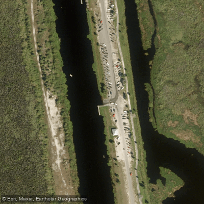
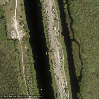
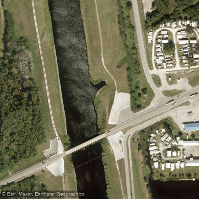
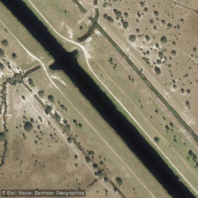
The Harney Pond Canal is a significant waterway located on the western shore of Lake Okeechobee in south-central Florida. This man-made canal stretches for several miles, connecting the vast lake to inland areas near the town of Lakeport in Glades County. The canal flows eastward, serving as an important access point and water control structure for Lake Okeechobee.
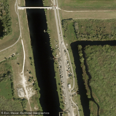
Paddling opportunities on the Harney Pond Canal offer a unique blend of natural scenery and engineered waterways. The primary paddling route begins at the Harney Pond Canal Recreation Area, also known as Margaret Van de Velde Park, in Lakeport. From here, paddlers can explore the canal's length, eventually reaching the open waters of Lake Okeechobee. The paddling experience is characterized by flatwater conditions, making it suitable for beginners and experienced paddlers alike.
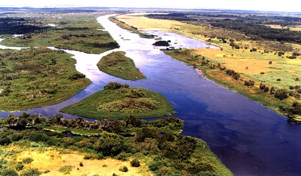
The canal's ecosystem supports a diverse array of wildlife, particularly birds. Paddlers may encounter wading birds, ospreys, and even bald eagles. Alligators are also present, requiring paddlers to maintain a safe distance and exercise caution. The surrounding landscape features expansive marshes and grasslands typical of the Lake Okeechobee region.
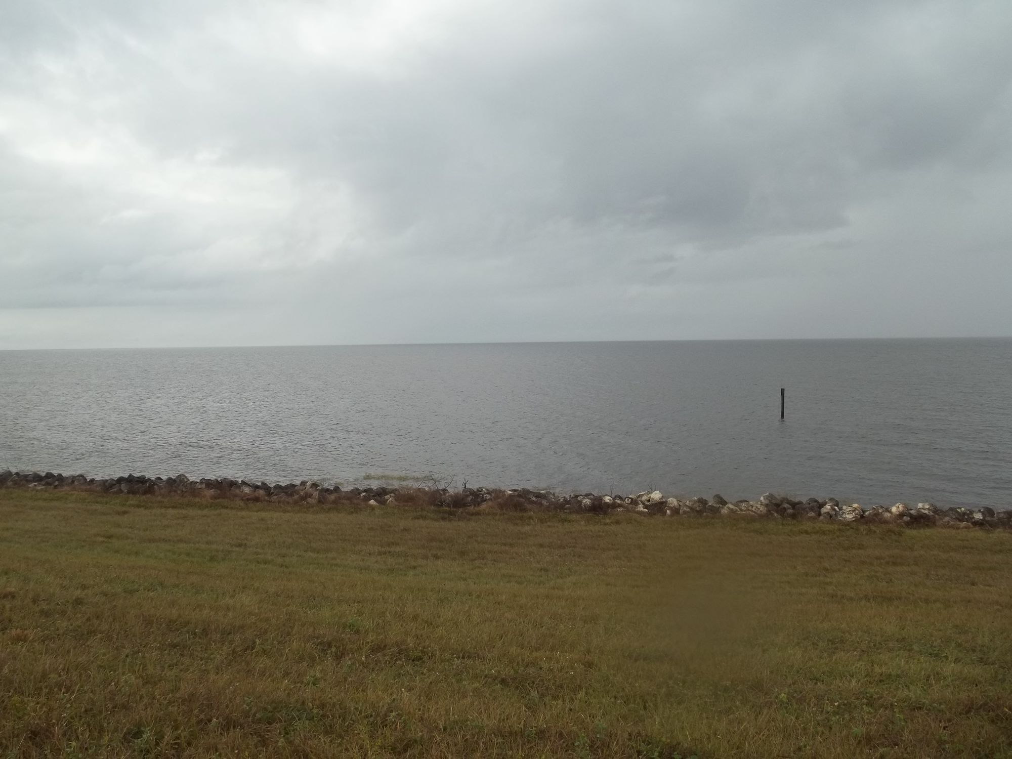
A notable feature of the Harney Pond Canal area is the Herbert Hoover Dike, which runs along the canal and lake shore. This massive earthen dam, constructed for flood control, provides elevated views of the surrounding landscape and is part of the larger Lake Okeechobee Scenic Trail system.
Access to the canal is primarily through the Harney Pond Canal Recreation Area, which offers amenities such as boat ramps, parking, and picnic facilities. This area serves as an important trailhead for both water-based activities and the Florida National Scenic Trail, which follows the lake's perimeter.
Historically, the canal has played a crucial role in water management and transportation for the Lake Okeechobee region. It continues to be an important component of South Florida's complex water system, influencing both the ecology and economy of the area.
Paddlers should be aware of potential weather changes, as conditions on and around Lake Okeechobee can shift rapidly. Additionally, water levels can fluctuate seasonally, affecting navigability. The best times for paddling are typically during the cooler, drier months from November through April.
For those seeking a multi-day adventure, the Harney Pond Canal can serve as a starting point for exploring the western portion of Lake Okeechobee, with potential camping options along the lakeshore. However, paddlers should carefully plan such trips and be prepared for the challenges of open water paddling on Florida's largest lake.
Curated routes
Hand-picked by the PaddleWays team, with put-ins, take-outs, paddle times and the hazards along the way.
RouteFlatwater
Hazards
No paddler has reported a hazard here yet, so these are the dams, falls and big rapids on our map. Hazards change with flows and storms, so check them before you launch.
From the community
Nobody has shared a trip on Harney Pond Canal yet. Paddle it, then tell the next paddler how it went.
See exactly where the public can get on and off the river. Launch points and boat ramps are paired with PaddleWays' public land data so you know where you can legally land.
Public shoreline
0%of the river's shoreline is public
Most of the riverbank is private. Launch, land and camp only at public access points.
Flows, weather and a route-by-route verdict, so you know which stretch of the Harney Pond Canal is worth paddling today.
All Flow Stations
Live flows, marked hazards and fresh trip reports from paddlers who were just on the water, all in one place.





Every user gets free access to launch points, boat ramps, and public property parcels.
Loading popular cities...
PaddleWays gives you everything you need to plan smarter, paddle better, and own every trip from first launch to takeout.