Homosassa River
- Saltwater
- Tidal river
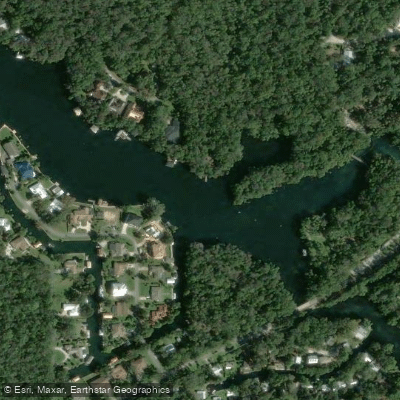
Homosassa River
- Saltwater
- Tidal river
- Sq. miles
- 0
- Boat Ramps
- 0
- Access Points
- 0
- Campsites
- 4
The Homosassa River is an 8-mile-long tidal river flowing west from Homosassa Springs to the Gulf of Mexico in Citrus County, Florida. The river is an estuary, with clear spring water near the headsprings gradually becoming tannic and then brackish as it approaches the Gulf. The mainspring, part of a first-magnitude group discharging around 65 million gallons daily, maintains a consistent water temperature of 72 degrees Fahrenheit year-round. This warm water makes the area a prime year-round habitat for West Indian manatees, and the river is also home to common bottlenose dolphins, alligators, and a wide variety of bird species. The river flows through undeveloped areas with mangrove islands and saltwater grass flats downstream.
Key public launch points for paddlers include the Duncan J. MacRae Public Boat Ramp on Cherokee Way, a free double concrete ramp with dock facilities, and a dedicated kayak launch off Loblolly Way behind the Florida Cracker Riverside Resort, which exits via a short canal to the river. The kayak launch provides easy trailer parking. From these launches, a common day trip involves paddling upstream from the town of Homosassa towards the Homosassa Springs Wildlife State Park, a round trip of approximately 5 miles, though direct river access to the park's spring is restricted as it is a wildlife refuge. Downstream paddling leads towards the open Gulf. The river is wide and can become rough in windy conditions, and paddlers should expect significant motorboat traffic, though No Wake Zones are present. The junction of the launch canal and the main river features Historic Monkey Island with its mock lighthouse.
Paddling difficulty is generally easy to moderate, but the experience is heavily influenced by tides and wind. The river is explicitly tidal, so planning for current direction is essential. The area is a major sport fishing destination and working commercial fishing port, so boat traffic is a constant consideration, especially on weekends and holidays. Several local outfitters offer kayak rentals, sales, and guided tours, including clear-bottom kayak tours focused on the springs area.
Water access, boat ramps & amenities
Learn how to get on Homosassa River. Uncover great paddling access points, boat ramps, and all the facilities you need for an unforgettable day on the water. Some locations shown may border or include private property. Always check property boundaries and applicable regulations before visiting. PaddleWays's Public & Private Land layer can help you plan your access with confidence.
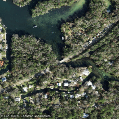
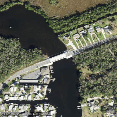
Paddle smarter with real-time insights
Whether you're en route and conditions shift or you're looking for the best spot based on current flows, we enable you to make informed decisions on the fly.








Find Places to Paddle

Over 400,000 Places to Paddle
Every user gets free access to launch points, boat ramps, and public property parcels.


Tides, wind & water conditions (10 day forecast)
On open water, wind and tide matter as much as the weather. See the best times to paddle Homosassa River and check the marine forecast before you launch.
Loading tide predictions…
Paddling near Homosassa River
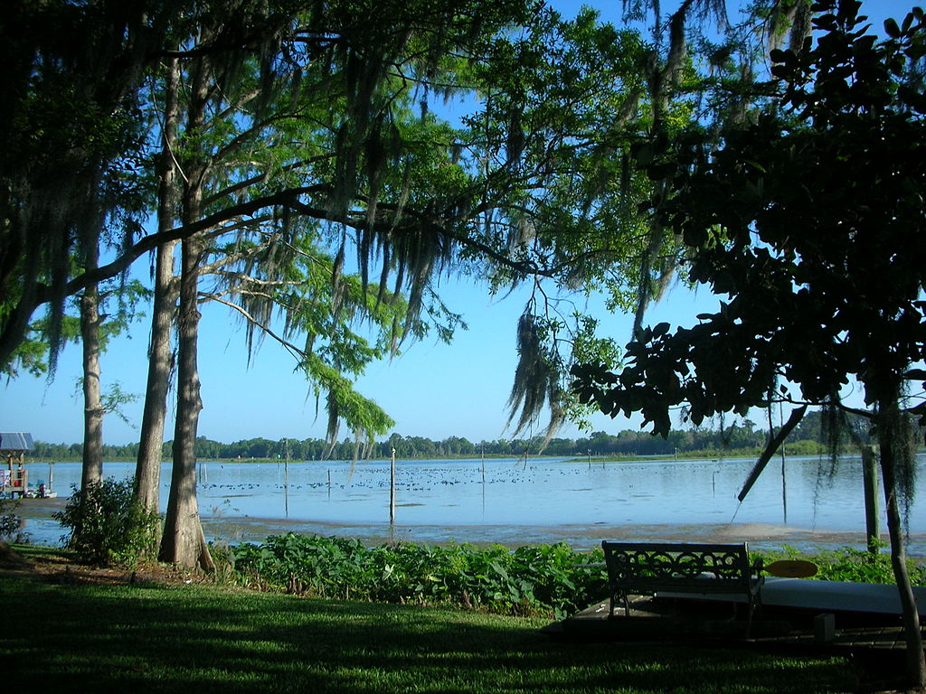
Lake Rousseau
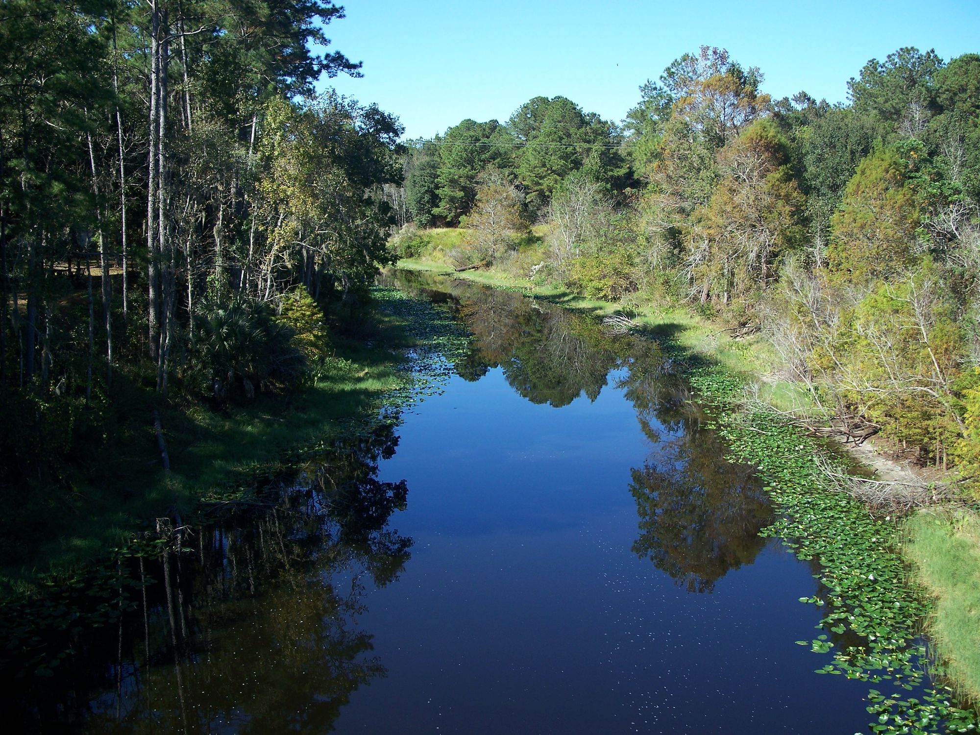
Ocklawaha River
Saint Martins Reefs
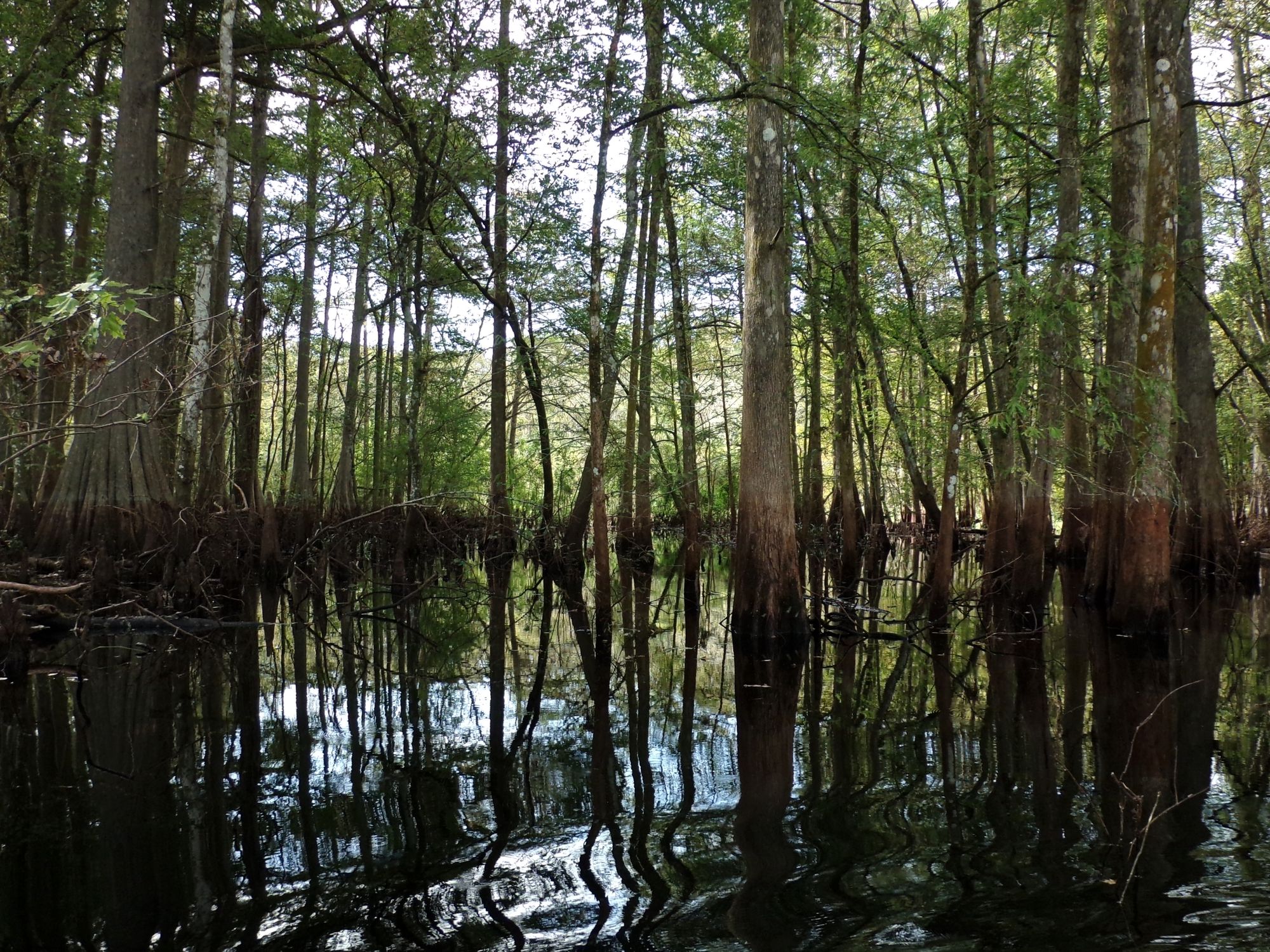
Withlacoochee River

Saint Johns River
Withlacoochee Bay
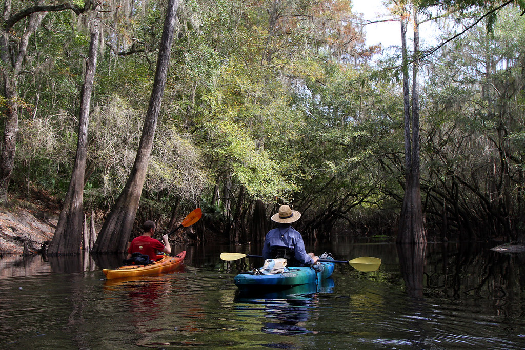
Santa Fe River
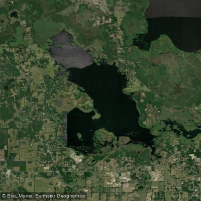
Orange Lake
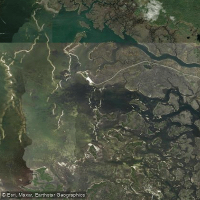
Crystal Bay
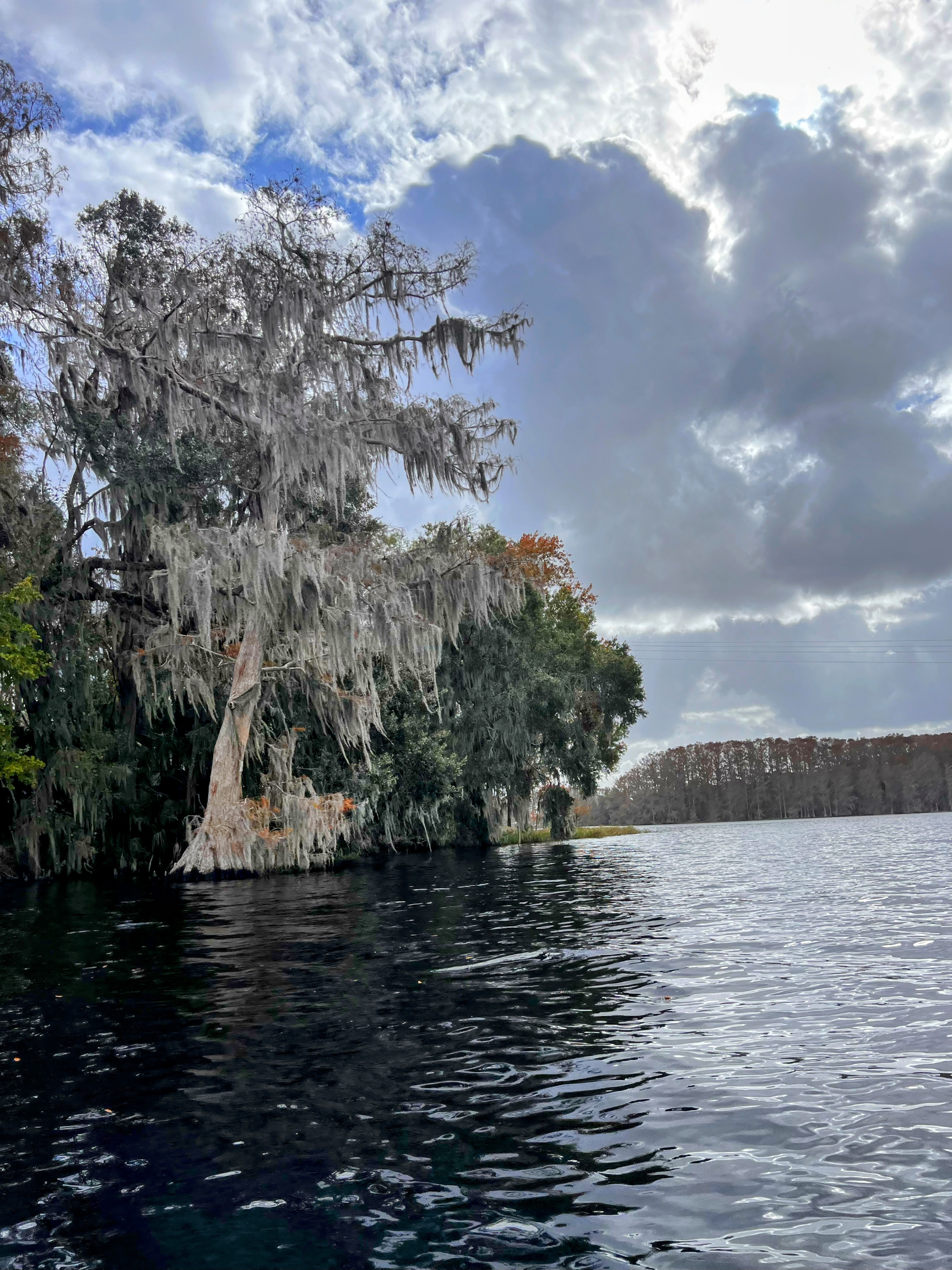
Tsala Apopka Lake
Explore Florida waters
Top paddling waters
Popular Cities
Loading popular cities...
Explore near Homosassa River
Access points
Nearby waters
More in Florida

Smarter Paddling Starts in the App.
Paddleways gives you everything you need to plan smarter, paddle better, and own every trip from first launch to takeout.