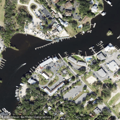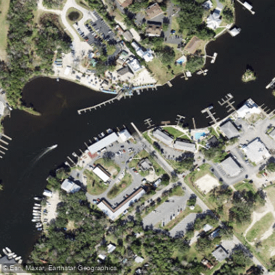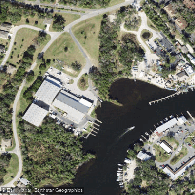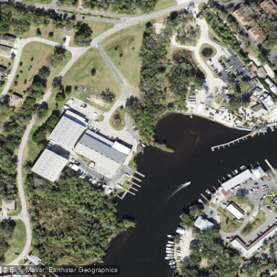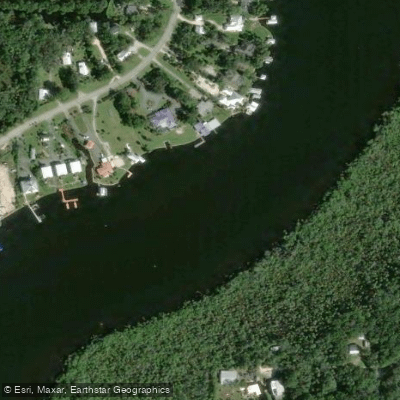
Curated by PaddleWays
RouteFlatwater
- Distance
- 2.2 mi
- Paddle time
- ~0.5 hrs
- Best for
- Kayak, canoe
- Put-in & take-out
- Homosassa Duncan J. MacRae Public Boat Ramp
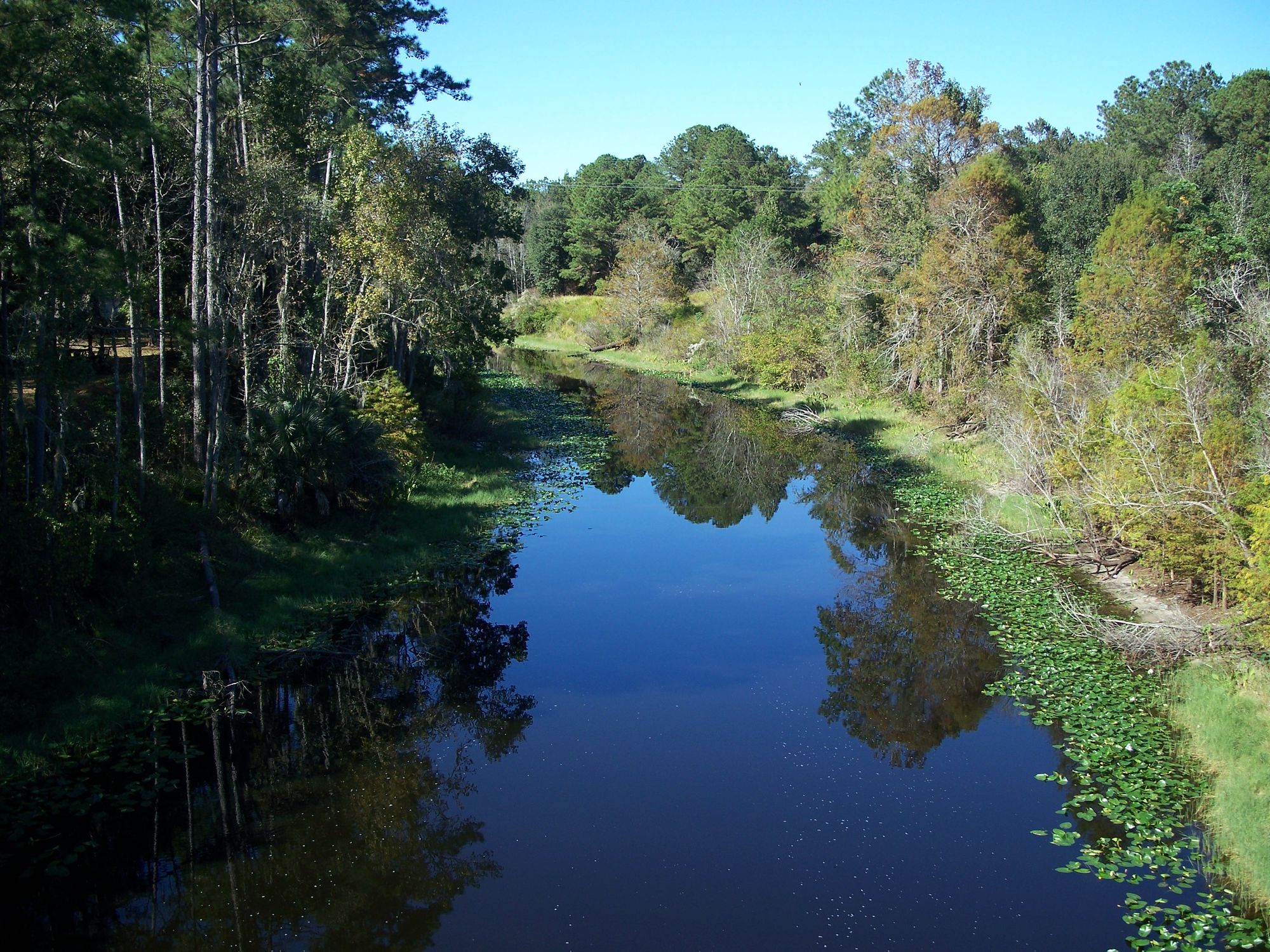
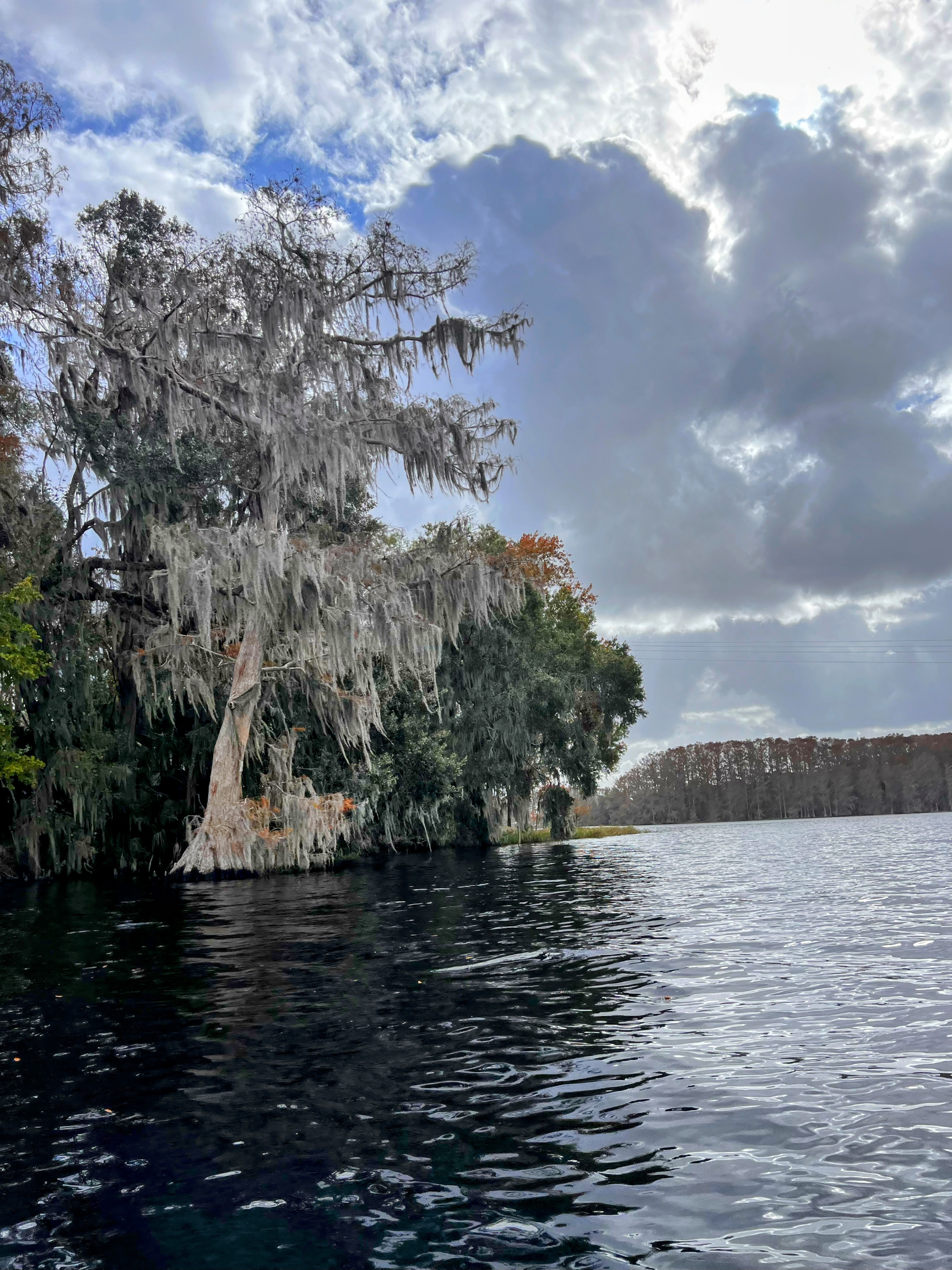
The Homosassa River flows 8 miles westward through Citrus County, Florida, from its headwaters at Homosassa Springs to the Gulf of Mexico. Fed by one of Florida's largest first-magnitude spring systems, the river discharges approximately 65 million gallons daily of crystal-clear, 72-degree water from a springshed covering 270 square miles across Citrus and Hernando counties. This constant temperature and unique mineral content creates an environment where both freshwater and saltwater fish thrive together, making it a truly distinctive waterway.
The river system offers eight distinct paddling sections ranging from easy flatwater to advanced open-water routes. The most popular upstream section from Homosassa Springs to the Wildlife State Park provides a 5-mile round trip through pristine spring-fed waters, while downstream sections transition through tannic waters to brackish marshes before reaching the Gulf. Key tributaries include Halls River, a shallow 2.5-mile spring-fed tributary offering undeveloped "Old Florida" scenery, and several tidal creeks including Price Creek and Mason Creek that create loop opportunities through protected saltwater marshes.
Difficulty ranges from novice-friendly flatwater sections to advanced routes requiring navigation skills through unmarked tidal marshes. The river's tidal nature demands attention to water levels and channel navigation, particularly through Hell's Gate, a quarter-mile constriction near marker 58. Most sections accommodate novice to intermediate paddlers, though multi-creek loops and Gulf approaches require advanced skills.
November through March represents peak season when the river becomes the "manatee capital of the world," with dozens of West Indian manatees congregating in the warm spring waters. Year-round residents include bottlenose dolphins near the river mouth, river otters, alligators, and over 250 bird species. The headspring area offers remarkable visibility often called "the aquarium without glass."
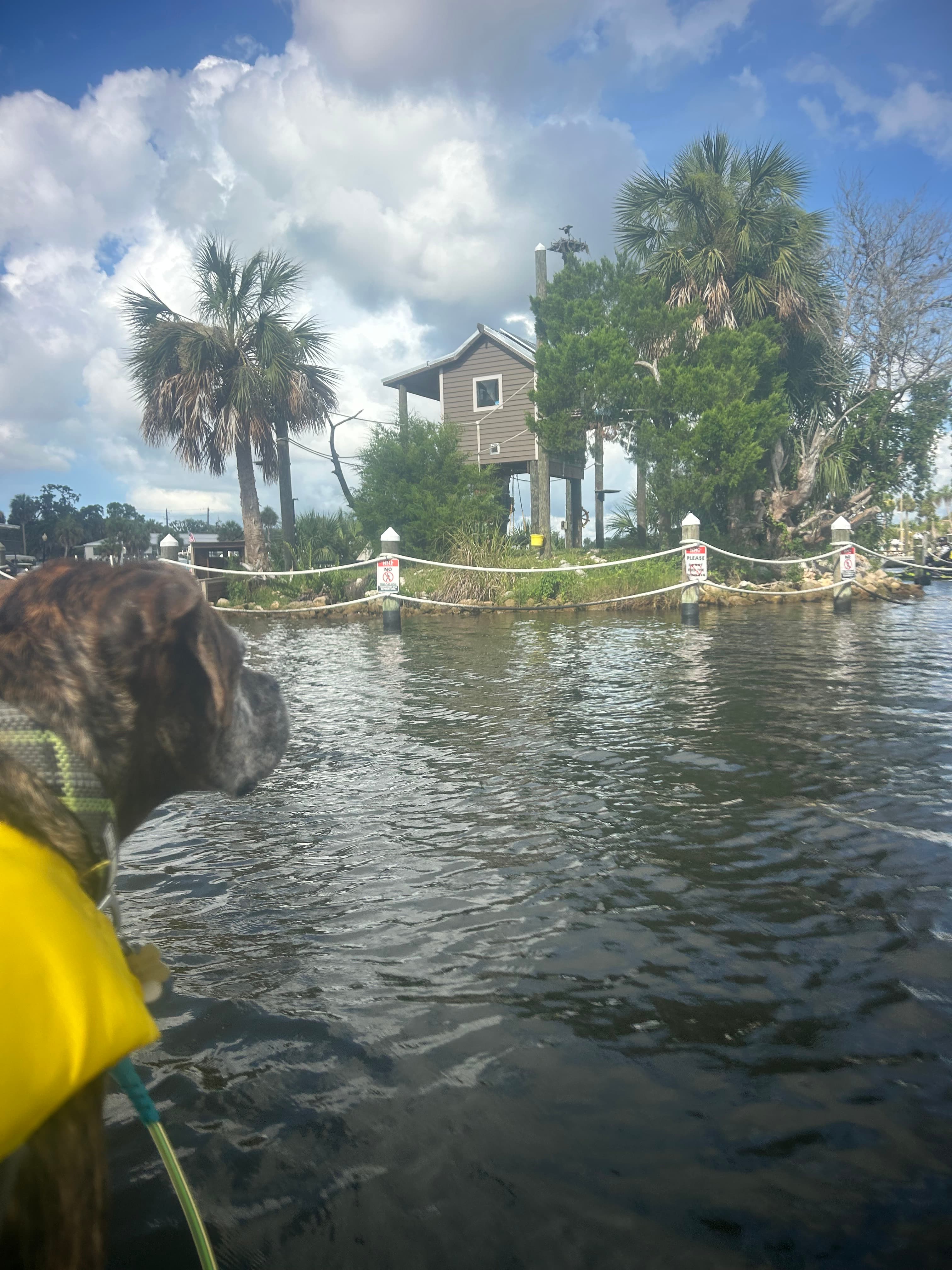
Notable landmarks include Historic Monkey Island with its mock lighthouse and resident spider monkeys, the Homosassa Springs Wildlife State Park (accessible only by land), and various named points like Dreamcatcher Island, Tiger Tail Bay, and Coffin Point. The river passes through largely undeveloped areas featuring mangrove islands and saltwater grass flats.
Access points include MacRae's boat ramp on Cherokee Way, Riversport Kayaks at 2300 South Suncoast Boulevard, River Adventure Tours at 10269 W Halls River Road, and the Loblolly Way kayak launch. Mason Creek provides access to extended wilderness paddling through Chassahowitzka National Wildlife Refuge.
The area holds historical significance as part of Florida's Nature Coast, with connections to David Yulee's 19th-century sugar plantation operations.
Safety considerations include heavy motorboat traffic, rocky bottom hazards like the notorious "Million Dollar Rock," tidal awareness, and wildlife protection regulations. While primarily a day-paddling destination, the river connects to the 16-mile Nature Coast segment of the Florida Saltwater Circumnavigational Trail for extended adventures.
Curated routes
Hand-picked by the PaddleWays team, with put-ins, take-outs, paddle times and the hazards along the way.
RouteFlatwater
Hazards
No hazards are marked on Homosassa River yet. That is not the same as none being there: if you find one, report it for the next paddler.
From the community
Real trips from PaddleWays paddlers: which route they ran, how the flows were, and what to watch for.
Loading trip reports

Sarah G.
-592 cfs at Homosassa
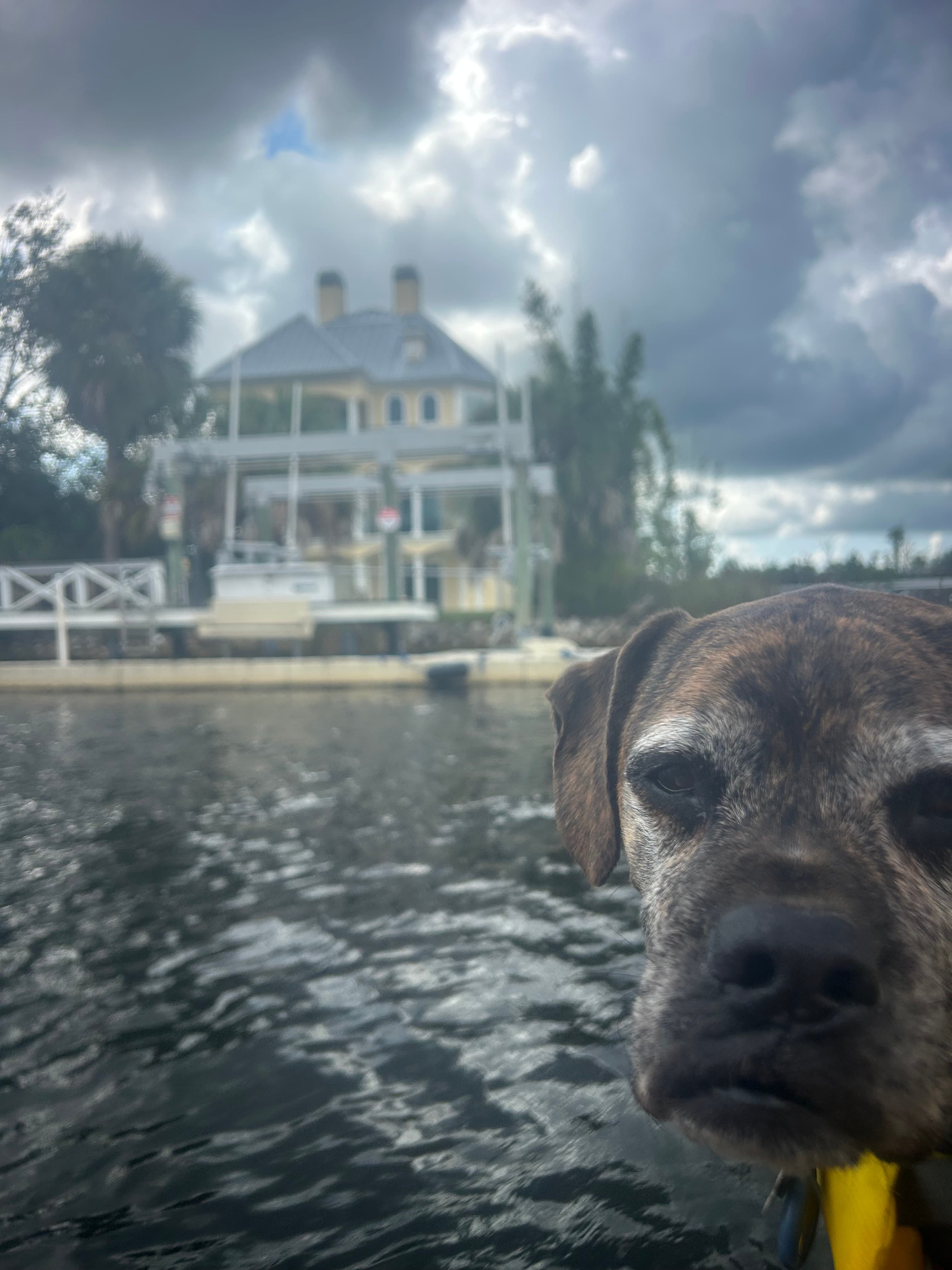
Monkey island
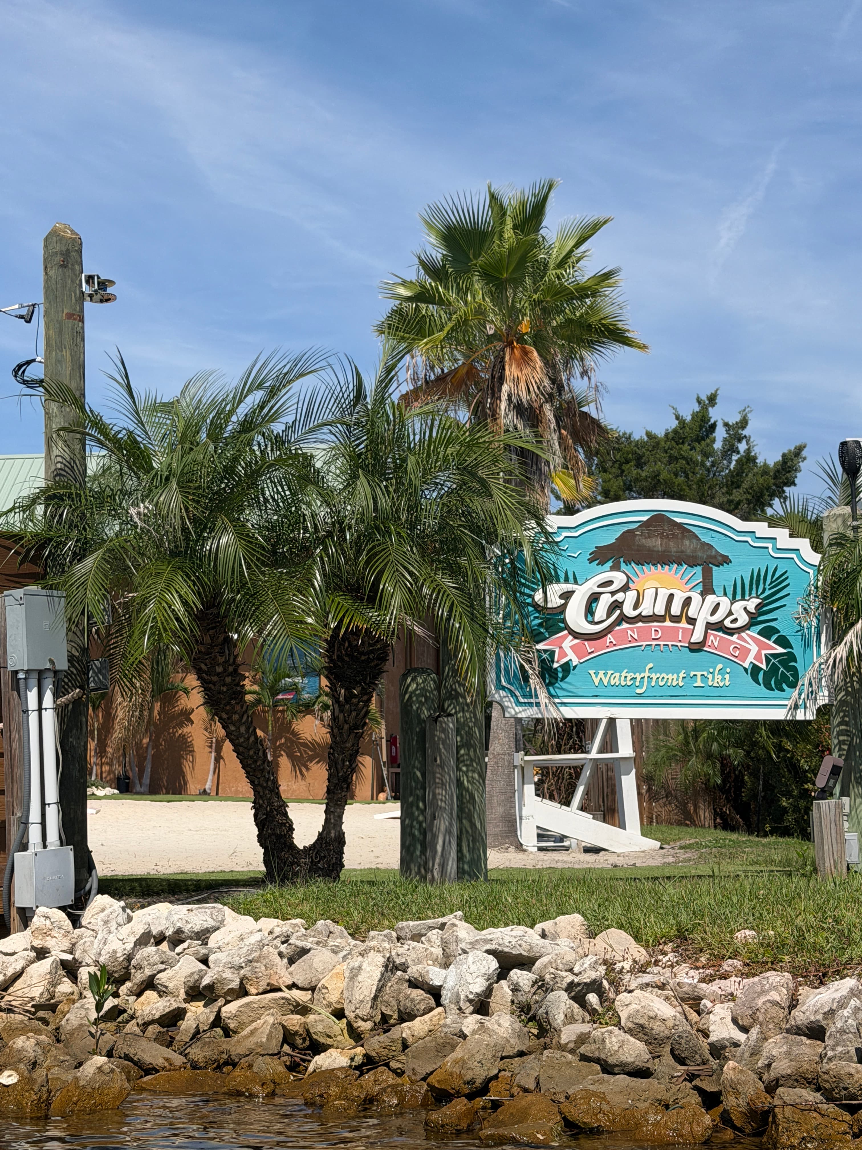
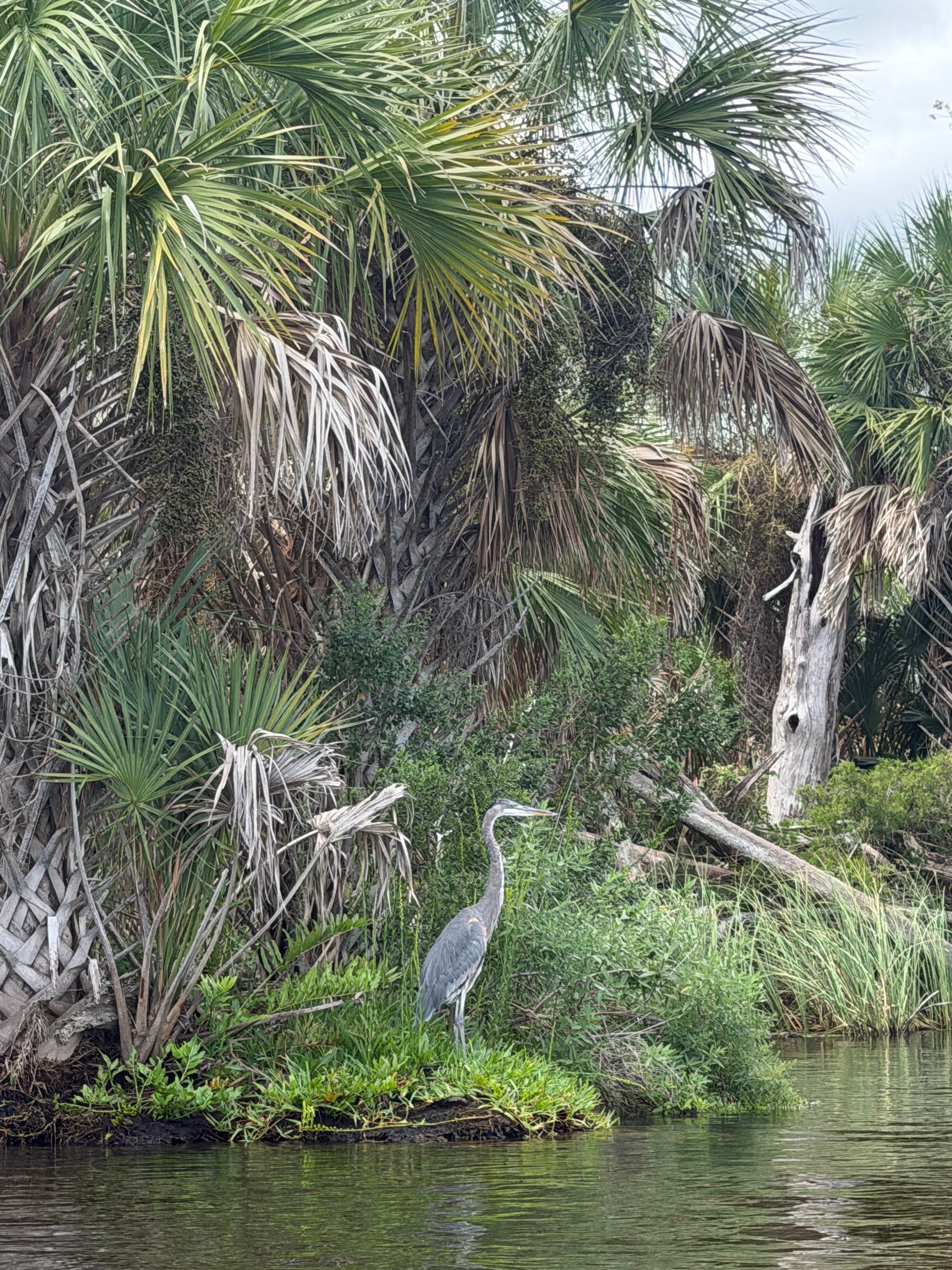
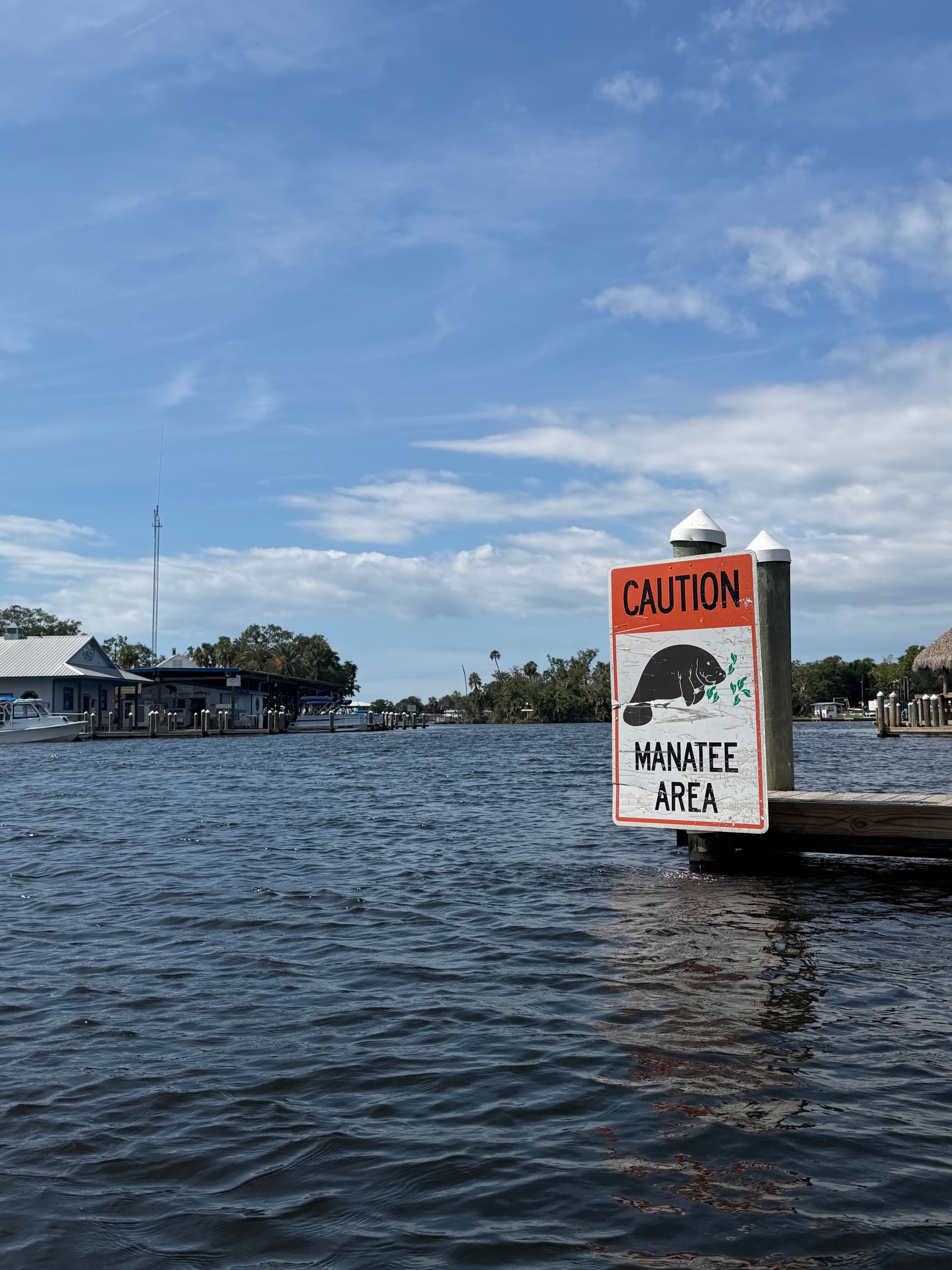 +2
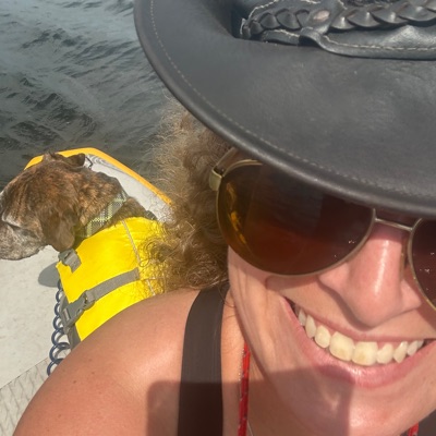
Monica H.
Monkey island Route• -914 cfs at Homosassa
Monkey island Route 7/4/2026
See exactly where the public can get on and off the river. Launch points and boat ramps are paired with PaddleWays' public land data so you know where you can legally land.
Public shoreline
0%of the river's shoreline is public
Most of the riverbank is private. Launch, land and camp only at public access points.
Flows, weather and a route-by-route verdict, so you know which stretch of the Homosassa River is worth paddling today.
All Flow Stations
Live flows, marked hazards and fresh trip reports from paddlers who were just on the water, all in one place.





Every user gets free access to launch points, boat ramps, and public property parcels.
Loading popular cities...
PaddleWays gives you everything you need to plan smarter, paddle better, and own every trip from first launch to takeout.