Indian Lake
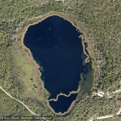
Indian Lake
- Boat Ramps
- 2
- Access Points
- 2
- Campsites
- 2
Indian Lake sits within the Rima Ridge Unit of Tiger Bay State Forest, approximately 7 miles west of Daytona Beach in Volusia County. This natural sinkhole lake offers a peaceful paddling experience in a relatively undeveloped forest setting, providing a contrast to the more developed coastal areas nearby.
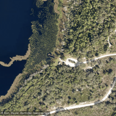
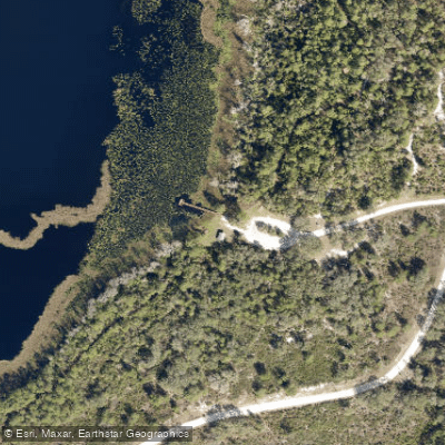
The primary access point is the Indian Lake Recreation Area, which features a dedicated kayak/canoe launch and fishing pier. The recreation area includes picnic facilities, restrooms, and parking, making it a convenient starting point for paddlers. A 2.5-mile interpretive hiking trail (Buncombe Hill Trail) loops around portions of the lake, allowing paddlers to explore the area from both water and land perspectives.
Water levels can fluctuate significantly with seasonal rainfall patterns. During drought conditions, the lake may recede substantially from its normal shoreline, leaving the pier and launch area high and dry with limited navigable water. Paddlers should check current conditions before visiting, as the sinkhole nature of the lake means water levels can vary dramatically throughout the year.
When water levels are adequate, Indian Lake provides habitat for alligators, wading birds, and various waterfowl. The surrounding forest features pine flatwoods, hardwood hammocks, and wetland communities, creating diverse wildlife viewing opportunities. Hawks are frequently observed gliding over the forest canopy.
The lake prohibits boats powered by internal combustion engines, maintaining a quiet atmosphere ideal for non-motorized watercraft. This restriction ensures a tranquil paddling environment focused on nature observation rather than speed boating activities.
Tiger Bay State Forest encompasses over 28,000 acres with extensive trail systems for hiking, biking, and horseback riding. The forest includes another paddling option at Scoggin Lake, located about a mile north of Indian Lake. Paddlers should arrive prepared with insect repellent, as the forest environment supports healthy mosquito populations, particularly during warmer months.
Water access, boat ramps & amenities
Learn how to get on Indian Lake. Uncover great paddling access points, boat ramps, and all the facilities you need for an unforgettable day on the water. Some locations shown may border or include private property. Always check property boundaries and applicable regulations before visiting. PaddleWays's Public & Private Land layer can help you plan your access with confidence.
Paddle smarter with real-time insights
Whether you're en route and conditions shift or you're looking for the best spot based on current flows, we enable you to make informed decisions on the fly.








Find Places to Paddle

Over 400,000 Places to Paddle
Every user gets free access to launch points, boat ramps, and public property parcels.


Water and weather conditions (10 day forecast)
See the best times to paddle Indian Lake and check the forecast before you go.
No forecast data available.
Paddling near Indian Lake
Halifax River

Saint Johns River
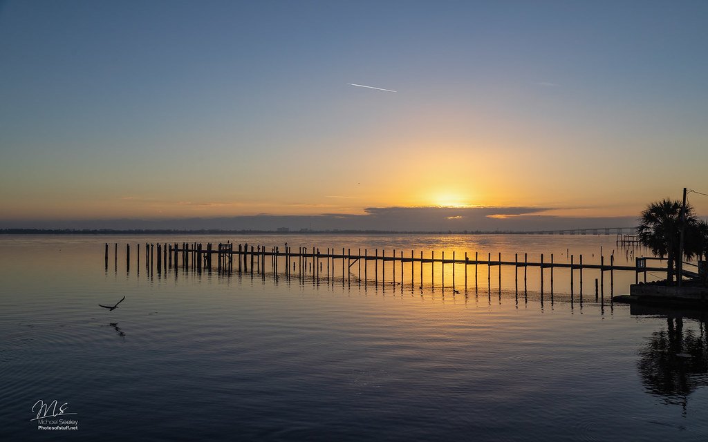
Indian River Lagoon
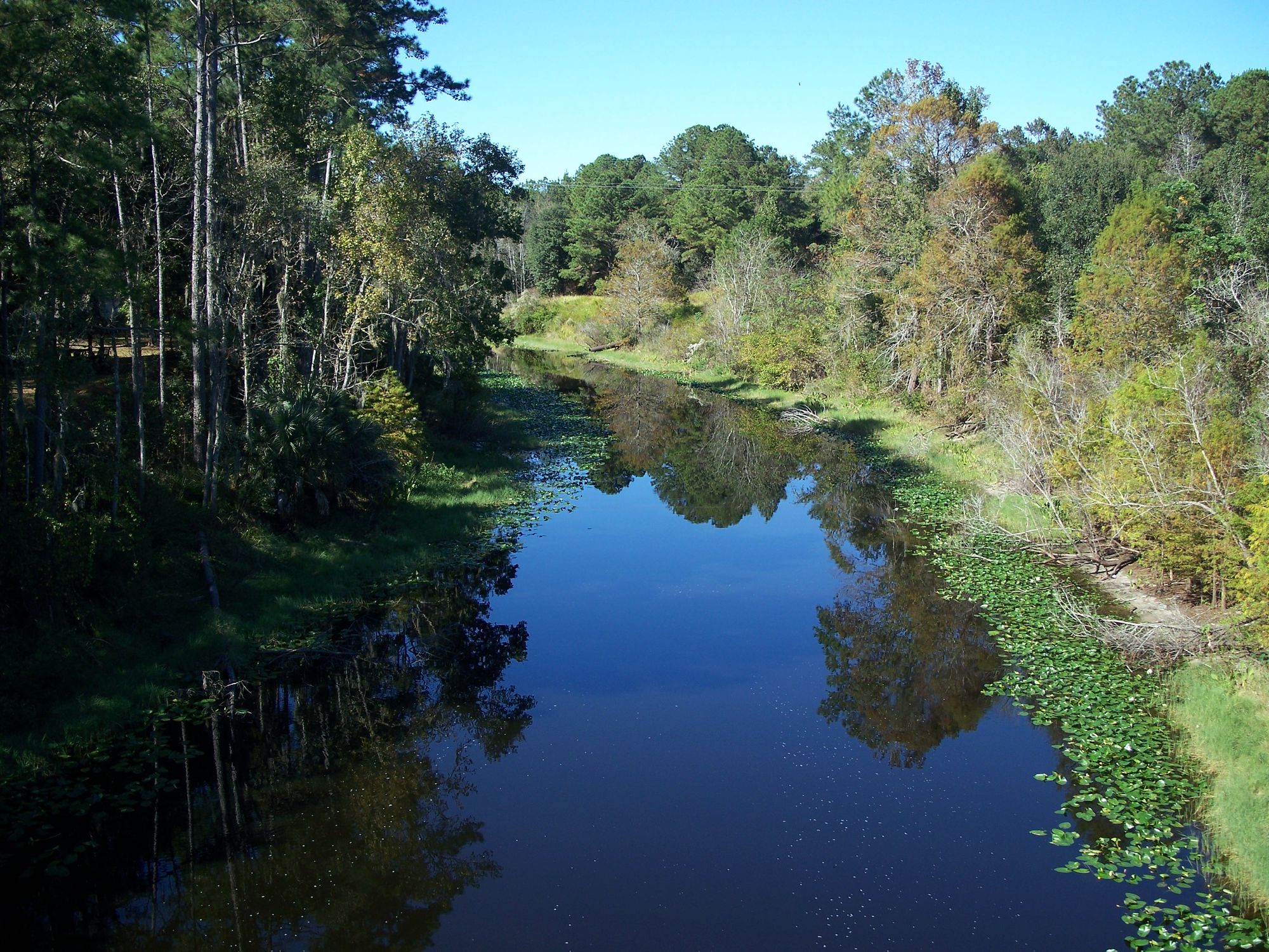
Ocklawaha River
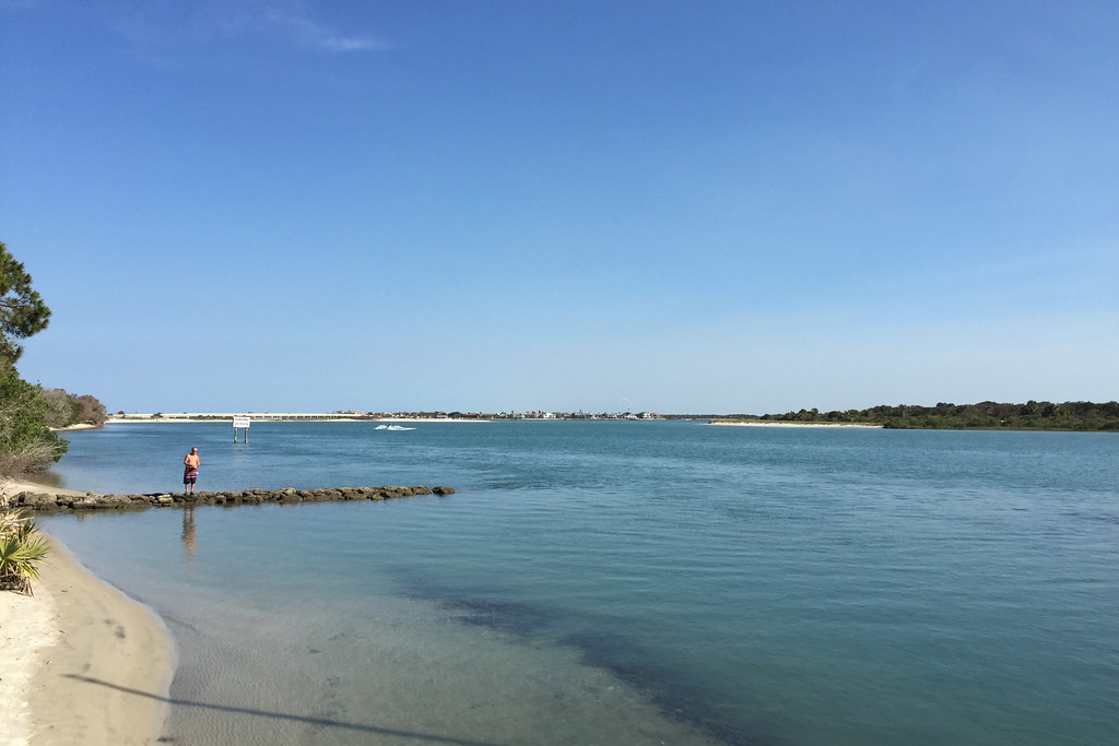
Matanzas River
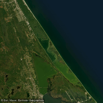
Mosquito Lagoon
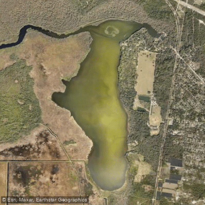
Spring Garden Lake
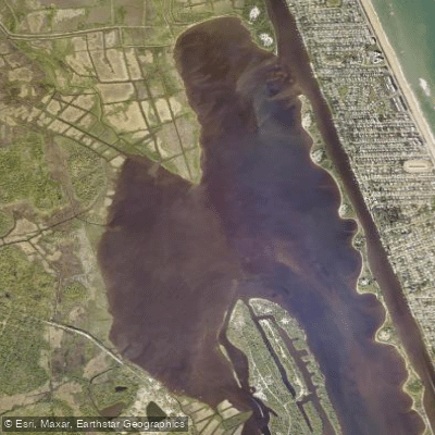
Tomoka Basin
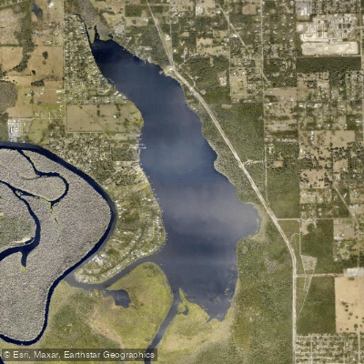
Lake Beresford
Explore Florida waters
Top paddling waters
Popular Cities
Loading popular cities...
Explore near Indian Lake
Access points
Nearby waters
More in Florida

Smarter Paddling Starts in the App.
Paddleways gives you everything you need to plan smarter, paddle better, and own every trip from first launch to takeout.