Curated by PaddleWays
RouteFlatwater
- Distance
- 4.2 mi
- Paddle time
- ~1.5 hrs
- Best for
- Intermediate paddlers
- Put-in → take-out
- Newport Landing Boat Ramp → Shields Marina Boat Ramp
Current challenging in shallow water
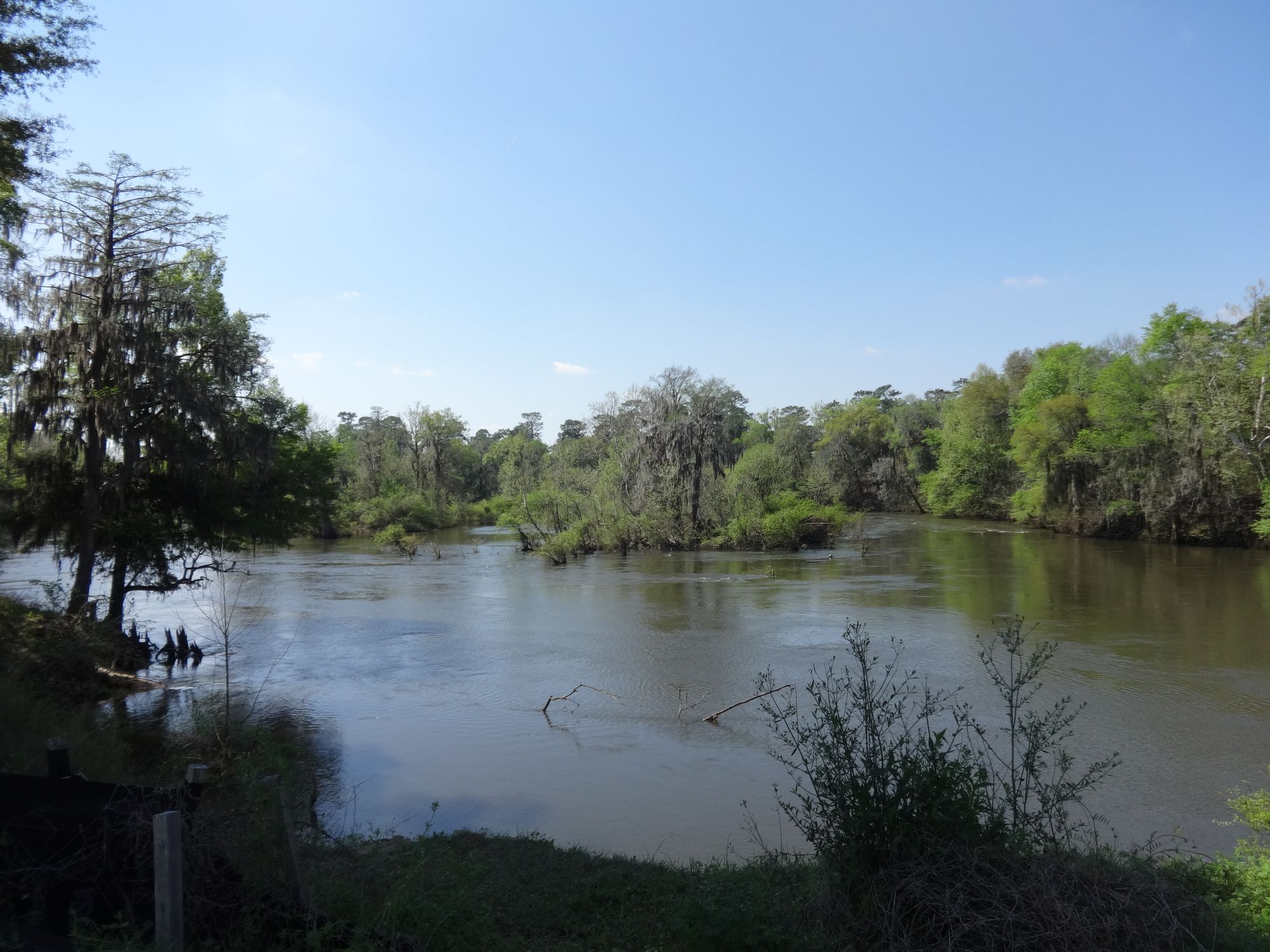
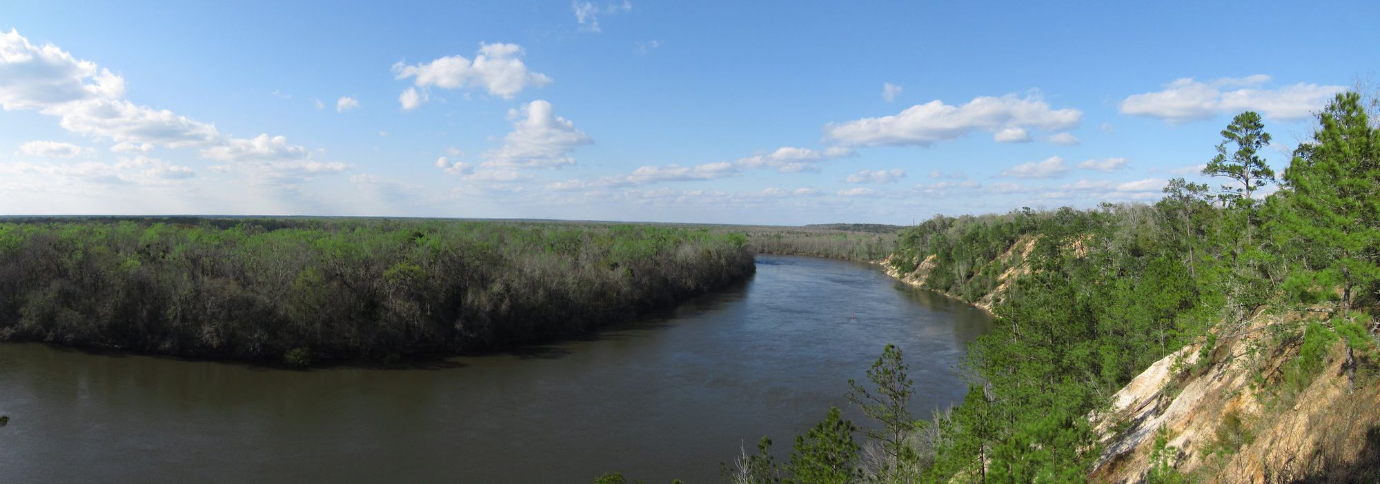
The Saint Marks River flows 36 miles through Leon, Jefferson, and Wakulla counties in Florida's Big Bend region before emptying into Apalachee Bay. This spring-fed river system originates in the Tallahassee Hills near Capitola in eastern Leon County, creating one of north Florida's most distinctive waterways. The river's most remarkable feature occurs at Natural Bridge Battlefield Historic State Park, where it disappears underground for approximately half a mile before reemerging at St. Marks River Rise, a first magnitude spring discharging 433 cubic feet per second. This emergence creates rapids as the river flows over exposed limestone, a rare sight in Florida's typically gentle waterways.
Paddlers access the river primarily through Newport Park Boat Ramp in Crawfordville, which serves as the starting point for the most popular sections. The upstream paddle from Newport to the head spring covers approximately 7 miles through a limestone-walled corridor lined with cypress and hardwood hammocks. This section reveals the river's karst geology, with visible sinkholes and limestone formations along the banks. The downstream return paddle offers easier navigation with the current.
The river supports diverse wildlife including alligators, manatees, bald eagles, and largemouth bass. Paddlers frequently encounter wading birds and turtles basking on fallen logs. The clear, tannic water maintains a relatively constant temperature due to its spring origins, making it suitable for year-round paddling, though winter months offer the most comfortable conditions with fewer insects and lower humidity.
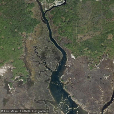
The Wakulla River, the Saint Marks' major tributary, joins near the town of St. Marks, where the historic San Marcos de Apalache State Park preserves a Spanish fort site dating to 1679. The St. Marks Lighthouse, built in 1831, stands near the river's mouth and marks the confluence with the East River before entering Apalachee Bay. Paddlers should note that the river passes through the St. Marks National Wildlife Refuge downstream, which provides additional access points but requires awareness of tidal influences near the coast. The river's flow can vary significantly depending on rainfall and aquifer levels, occasionally affecting navigability in shallow sections.
The Natural Bridge site holds historical significance as the location of Florida's last Confederate victory in 1865, when local militia prevented Union forces from crossing the river to reach Tallahassee. This unique geological and historical convergence makes the Saint Marks River a distinctive paddling destination in Florida's Panhandle region.
Curated routes
Hand-picked by the PaddleWays team, with put-ins, take-outs, paddle times and the hazards along the way.
RouteFlatwater
Hazards
No hazards are marked on Saint Marks River yet. That is not the same as none being there: if you find one, report it for the next paddler.
From the community
Real trips from PaddleWays paddlers: which route they ran, how the flows were, and what to watch for.
Loading trip reports
Aliki M.
SUP •
377 cfs at Newport Fla
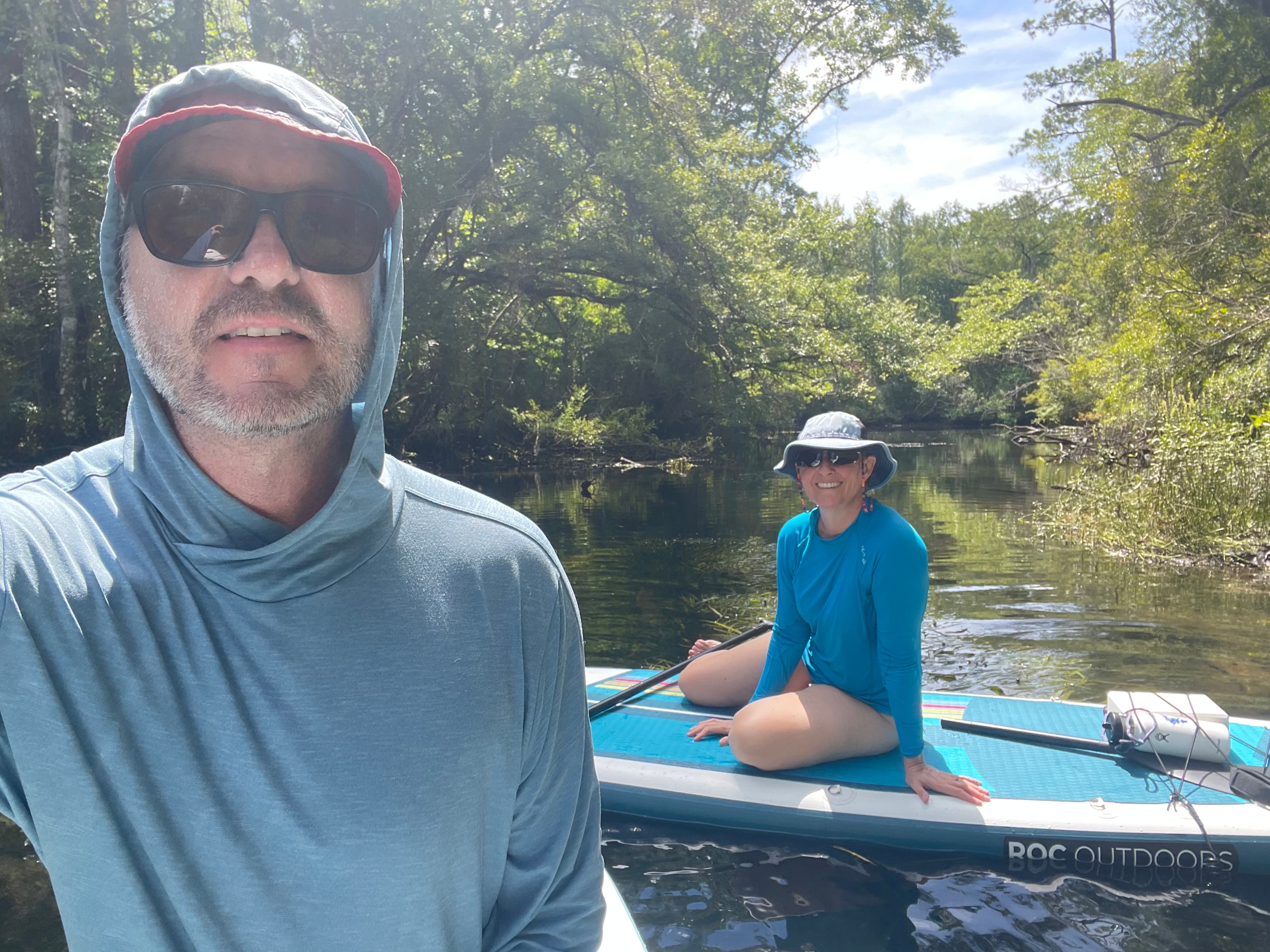
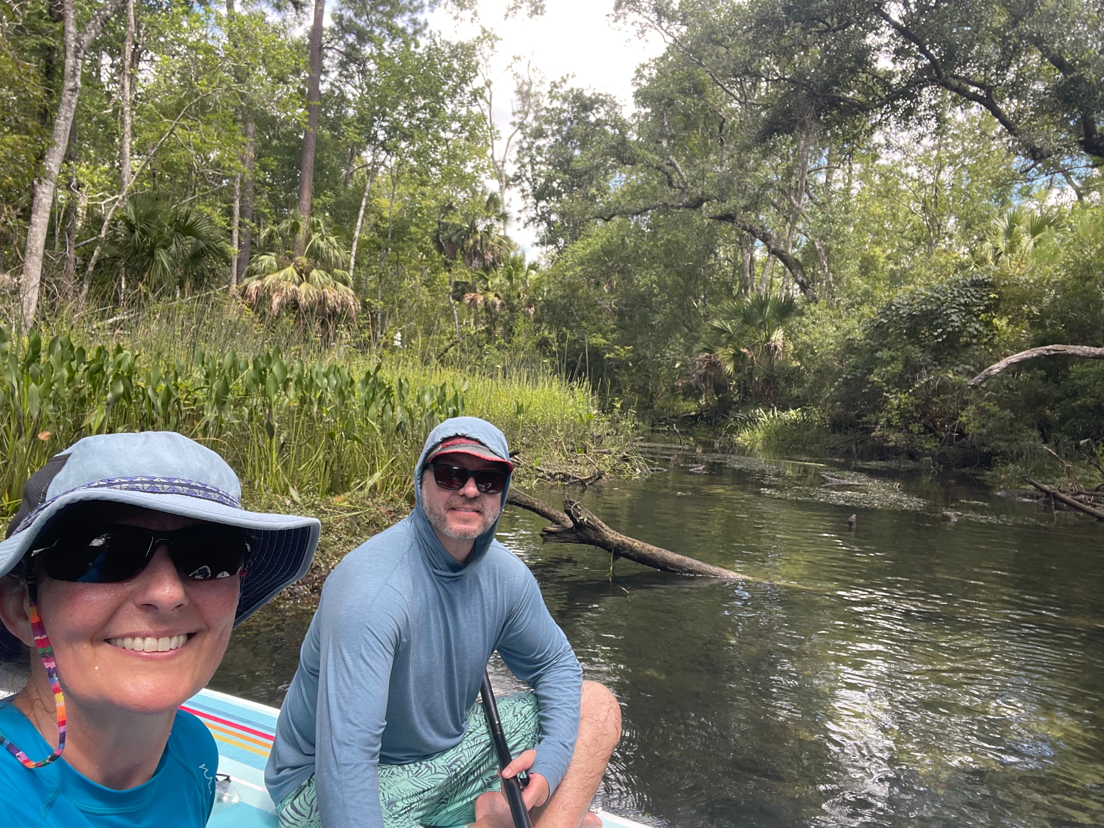
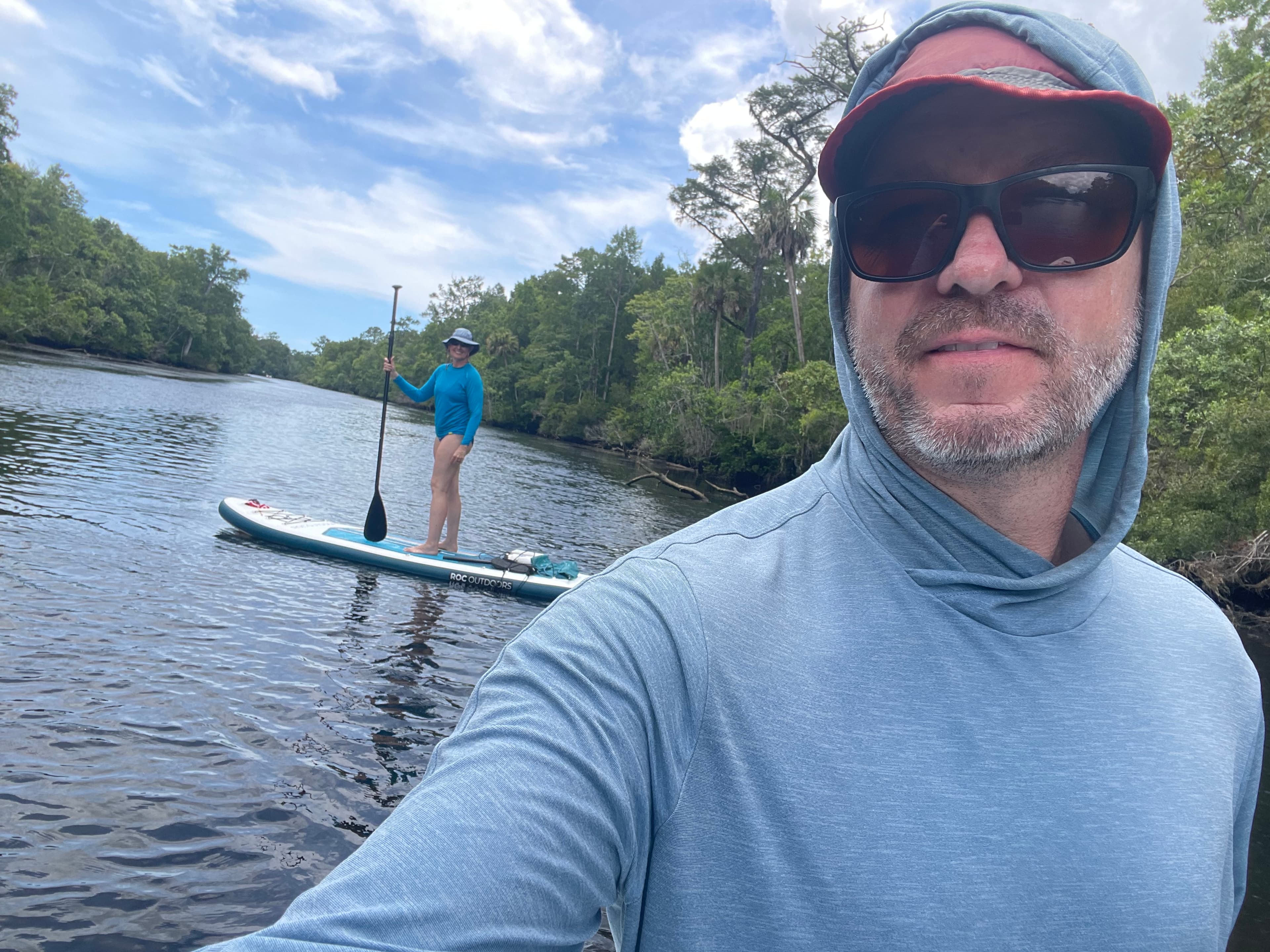
$5 parking, payable using ParkMobile We saw quite a few manatees, a small gator, turtles, an owl; most motor-boaters were kind enough to slow down when they saw us on SUPs.
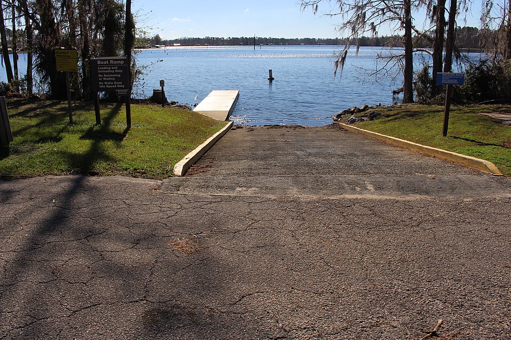
See exactly where the public can get on and off the river. Launch points and boat ramps are paired with PaddleWays' public land data so you know where you can legally land.
Public shoreline
21%of the river's shoreline is public
Most of the riverbank is private. Launch, land and camp only at public access points.
Flows, weather and a route-by-route verdict, so you know which stretch of the Saint Marks River is worth paddling today.
Live flows, marked hazards and fresh trip reports from paddlers who were just on the water, all in one place.





Every user gets free access to launch points, boat ramps, and public property parcels.
Loading popular cities...
PaddleWays gives you everything you need to plan smarter, paddle better, and own every trip from first launch to takeout.