Curated by PaddleWays
RouteFlatwater
- Distance
- 7.7 mi
- Paddle time
- ~2.5 hrs
- Put-in → take-out
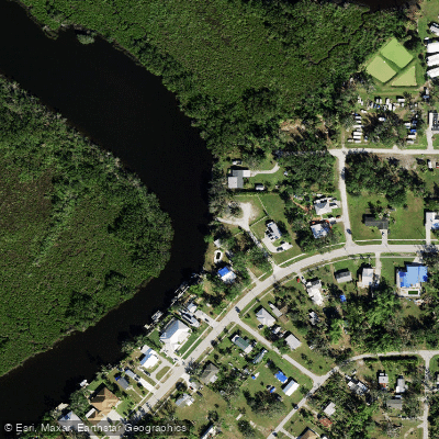
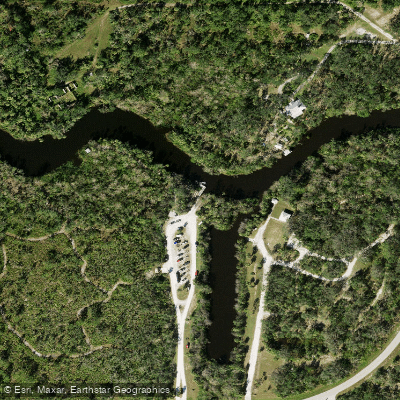
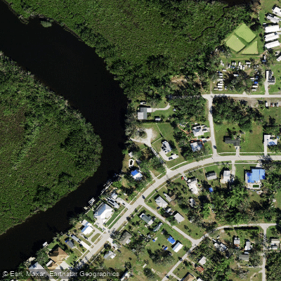
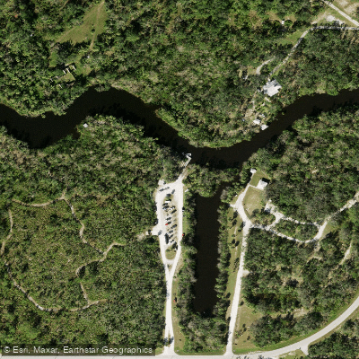
- Hathaway Park Boat Ramp → Riverside Park Punta Gorda Boat Ramp
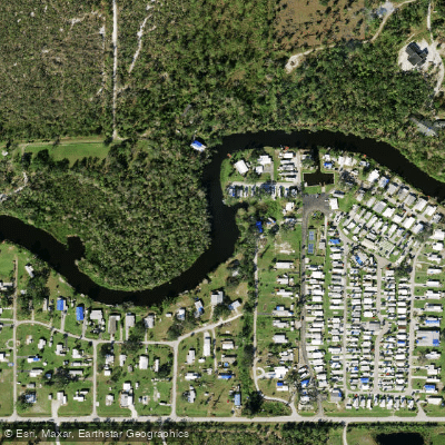
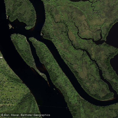
Shell Creek flows through Charlotte County in southwest Florida, serving as a tributary to the Peace River before both waterways discharge into Charlotte Harbor. This blackwater creek originates in the flatwoods northeast of Punta Gorda and meanders approximately 15-20 miles through a remarkably undisturbed corridor of old Florida landscape. The creek maintains its pristine condition partly because it serves as a protected drinking water source for the City of Punta Gorda and portions of unincorporated Charlotte County, providing 8 million gallons of potable water daily.
The waterway exhibits unusual geological characteristics for southwest Florida. Creek banks rise vertically 5-10 feet in many sections—dramatically higher than typical regional waterways—revealing fossilized shells and sediments from prehistoric seas. These steep banks, composed of ancient marine deposits, indicate Shell Creek's considerable geological age compared to most south Florida streams.
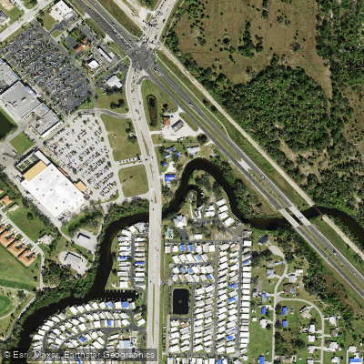
Paddling opportunities center on two primary access points. Hathaway Park at 35461 Washington Loop Road provides the main launch, offering paddlers the option to travel approximately 8 miles upstream through increasingly wild terrain or 5 miles downstream to a dam near the Peace River confluence. The upstream route passes through the 370-acre Shell Creek Preserve, where the waterway narrows and winds through dense hydric hammock and cypress strands. A secondary access at Riverside Park (8320 Riverside Drive) serves areas below the dam closer to the Peace River junction.
Difficulty levels range from easy to intermediate depending on section and conditions. The gentle current and wide channels near Hathaway Park accommodate novice paddlers, while upstream sections become narrower with occasional obstructions requiring maneuvering skills. Water levels fluctuate seasonally, with winter and spring typically offering optimal conditions when water is higher and temperatures moderate.
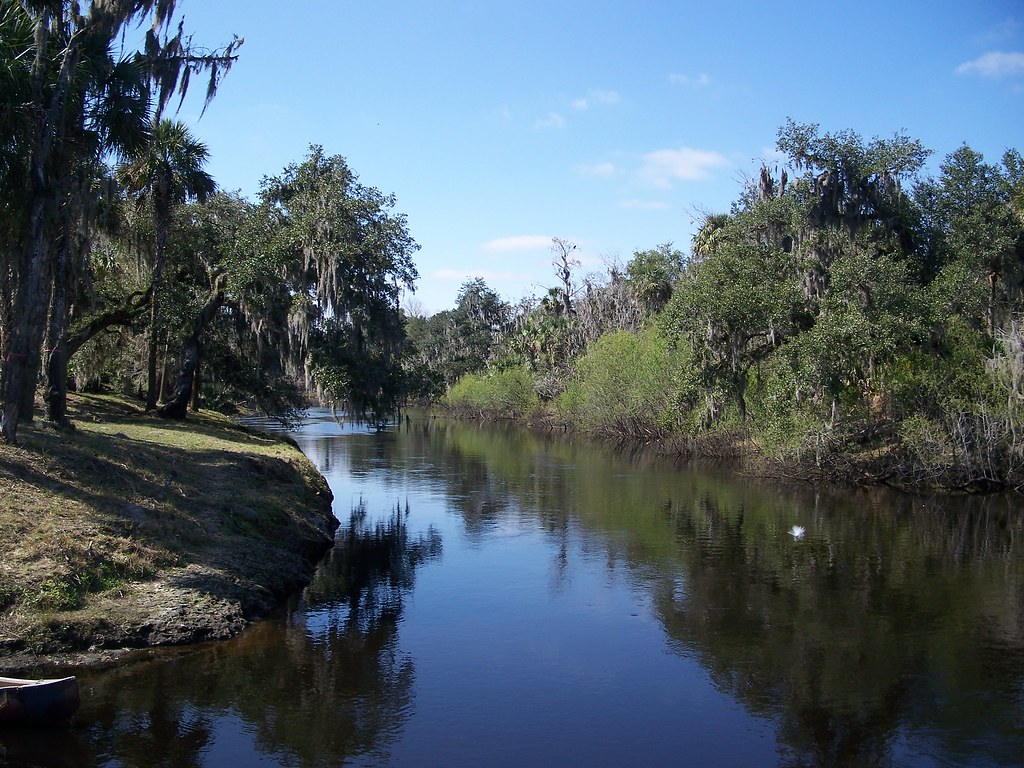
The creek corridor supports diverse wildlife including alligators, river otters, numerous turtle species, and extensive birdlife such as barred owls, wood storks, little blue herons, and ospreys. Live oaks draped with Spanish moss, large cypress trees with prominent knees, and cabbage palms create a lush canopy. The hydric hammocks contain water hickory, red cedar, and swamp laurel oak, while surrounding uplands feature pine flatwoods and scrubby flatwoods harboring the federally threatened Florida scrub-jay.
Artesian springs occasionally flow into Shell Creek, contributing clear water to the tannin-stained stream. The relatively undeveloped shoreline features only scattered cabins and minimal residential intrusion, maintaining an authentic wilderness character despite proximity to Punta Gorda's urban areas. No motorized vessels operate on upper sections, ensuring peaceful paddling conditions ideal for nature observation and photography.
Curated routes
Hand-picked by the PaddleWays team, with put-ins, take-outs, paddle times and the hazards along the way.
RouteFlatwater
Hazards
No paddler has reported a hazard here yet, so these are the dams, falls and big rapids on our map. Hazards change with flows and storms, so check them before you launch.
From the community
Nobody has shared a trip on Shell Creek yet. Paddle it, then tell the next paddler how it went.
See exactly where the public can get on and off the river. Launch points and boat ramps are paired with PaddleWays' public land data so you know where you can legally land.
Public shoreline
12%of the river's shoreline is public
Most of the riverbank is private. Launch, land and camp only at public access points.
Flows, weather and a route-by-route verdict, so you know which stretch of the Shell Creek is worth paddling today.
All Flow Stations
Live flows, marked hazards and fresh trip reports from paddlers who were just on the water, all in one place.





Every user gets free access to launch points, boat ramps, and public property parcels.
Loading popular cities...
PaddleWays gives you everything you need to plan smarter, paddle better, and own every trip from first launch to takeout.