Curated by PaddleWays
RouteClass II
- Distance
- 9.5 mi
- Paddle time
- ~3 hrs
- Best for
- Kayak
- Put-in → take-out
- Bill Duggan Jr. Park → Gin Hole Landing Boat Ramp
Permit required from Eglin Air Force Base
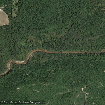
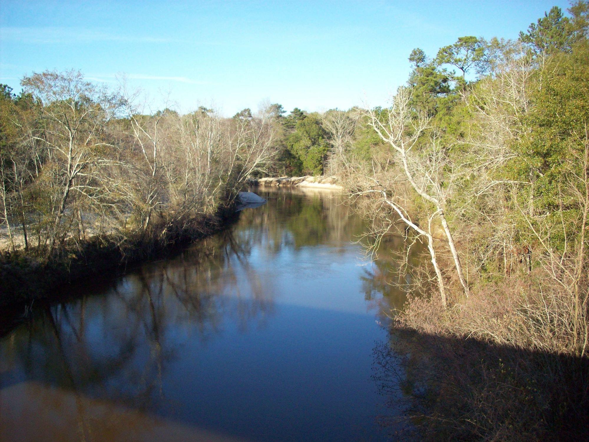
The Shoal River is a scenic waterway located in the western Florida Panhandle. It originates in Walton County and flows generally southwest through Okaloosa County before joining the Yellow River near Crestview. The river gets its name from the abundant sandy shoals and sandbars that characterize its course.
Paddlers can enjoy several distinct sections of the Shoal River. The designated 9.5-mile Shoal River Paddling Trail runs from Ray Barnes Public Boat Ramp on SR 90 to Bill Duggan Jr. Park on SR 85, offering a gentle float suitable for beginners. This stretch features meandering turns through remote, undeveloped land with plenty of sandbars for rest stops. Beyond the designated trail, more experienced paddlers can continue downstream to Eglin Air Force Base, where the river becomes swifter. An out-and-back trip from Bill Duggan Jr. Park is popular, allowing paddlers to work against the current upstream before an easy float back. Turkey Hen Creek, a tributary that joins the Shoal River near Crestview, provides an additional paddling option.
The river's difficulty ranges from flatwater suitable for novices to Class II sections requiring intermediate skills, especially when water levels are high. Spring and fall offer the best paddling conditions, as summer can be quite hot with limited shade.
Wildlife viewing opportunities abound along the Shoal River. Paddlers may spot turtles, fish, and various bird species. The surrounding landscape is characterized by pine forests and hardwood bottomlands typical of the Florida Panhandle.
Key access points include Ray Barnes Public Boat Ramp, Bill Duggan Jr. Park, and Gin Hole Landing on Eglin AFB. The nearby town of Crestview serves as a convenient base for river trips.
Paddlers should be aware that portions of the river pass through Eglin Air Force Base property, requiring special permits for access. Additionally, the river can experience rapid changes in water levels, so checking conditions before launching is essential.
For those seeking a multi-day adventure, it's possible to combine a Shoal River trip with paddling on the Yellow River, creating an extended journey through the heart of the Florida Panhandle's river systems. The Shoal River, with its clear waters, abundant sandbars, and largely undeveloped shoreline, offers a quintessential Florida Panhandle paddling experience, allowing visitors to immerse themselves in the natural beauty of the region.
Curated routes
Hand-picked by the PaddleWays team, with put-ins, take-outs, paddle times and the hazards along the way.
RouteClass II
RouteFlatwater
Hazards
No hazards are marked on Shoal River yet. That is not the same as none being there: if you find one, report it for the next paddler.
From the community
Nobody has shared a trip on Shoal River yet. Paddle it, then tell the next paddler how it went.
See exactly where the public can get on and off the river. Launch points and boat ramps are paired with PaddleWays' public land data so you know where you can legally land.
Public shoreline
7%of the river's shoreline is public
Most of the riverbank is private. Launch, land and camp only at public access points.
Boat Ramp
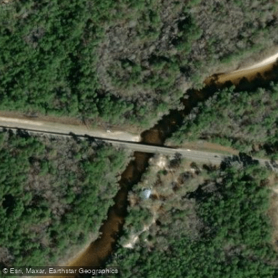
Boat Ramp
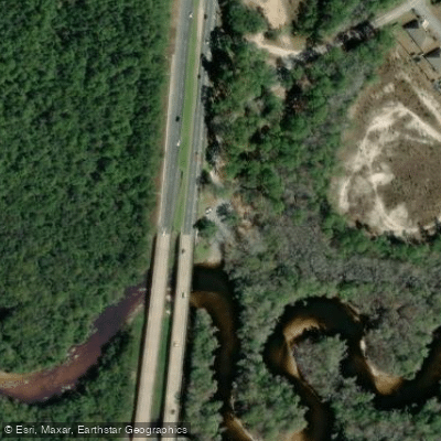
Boat Ramp
Flows, weather and a route-by-route verdict, so you know which stretch of the Shoal River is worth paddling today.
All Flow Stations
Live flows, marked hazards and fresh trip reports from paddlers who were just on the water, all in one place.





Every user gets free access to launch points, boat ramps, and public property parcels.
Loading popular cities...
PaddleWays gives you everything you need to plan smarter, paddle better, and own every trip from first launch to takeout.





