Curated by PaddleWays
RouteFlatwater
- Distance
- 4.8 mi
- Paddle time
- ~1.5 hrs
- Put-in & take-out
- Silver Springs State Park - Main Entrance Canoe/Kayak Launch
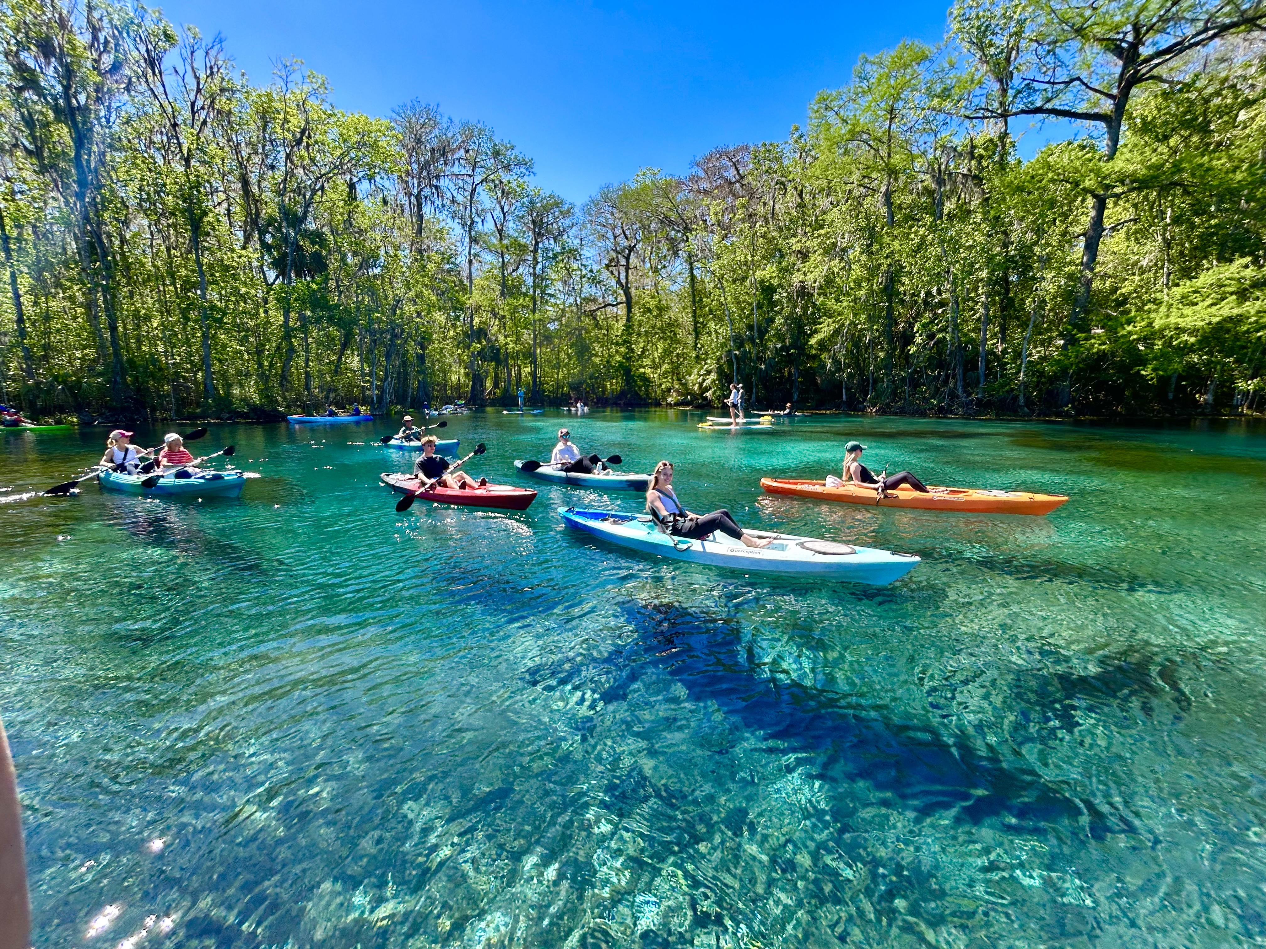
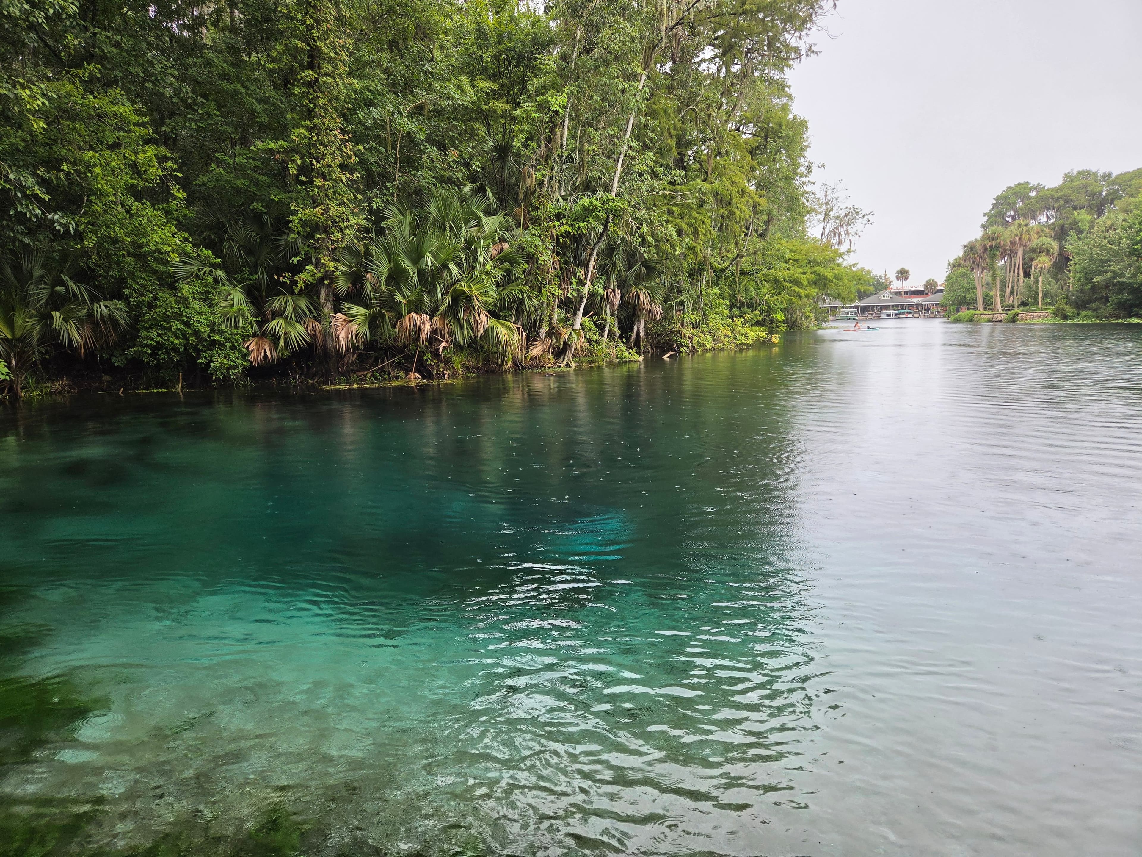
The Silver River, located in central Florida near Ocala, is a pristine, spring-fed waterway that offers paddlers a spectacular journey through the heart of the Sunshine State. This crystal-clear river stretches approximately 5.5 miles from its source at Silver Springs to its confluence with the Ocklawaha River, providing a unique and captivating paddling experience.
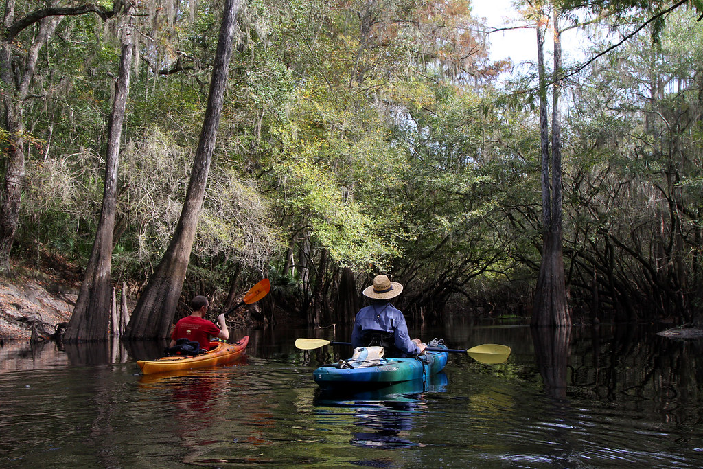
The main paddling route on the Silver River runs from Silver Springs State Park to Ray Wayside Park, offering a gentle downstream float suitable for paddlers of all skill levels. This section is characterized by its remarkably clear waters, lush subtropical vegetation, and abundant wildlife.
For those seeking a more challenging adventure, an upstream paddle from Ray Wayside Park to Silver Springs is possible, though it requires more effort due to the mild current. A highlight of any Silver River paddle is the Fort King Waterway, a 1.1-mile loop that branches off from the main river near the state park. This man-made waterway, once part of the Jungle Cruise attraction, provides a sheltered paddle through a canopied corridor with remnants of a replica Fort King and village along its banks.
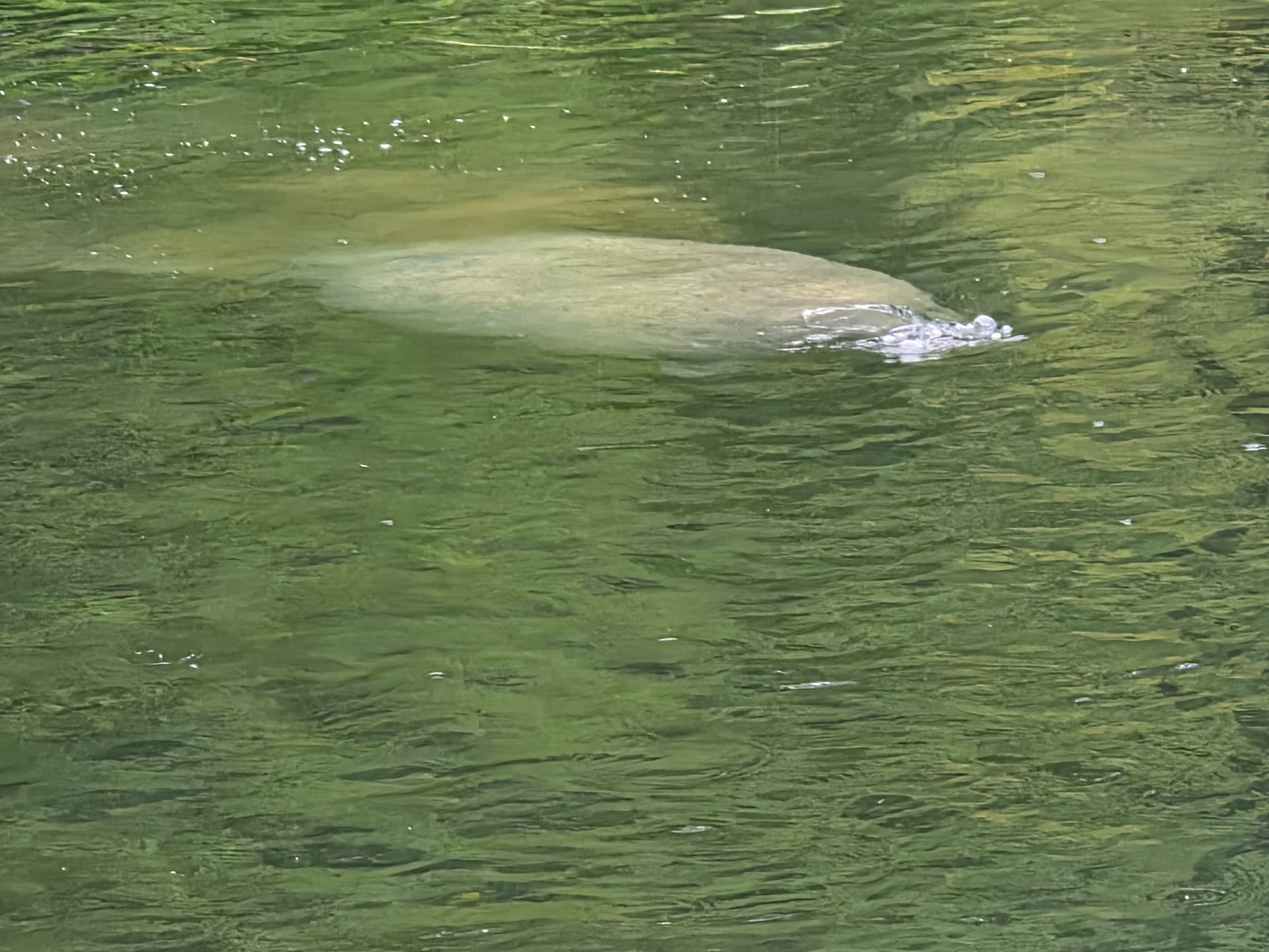
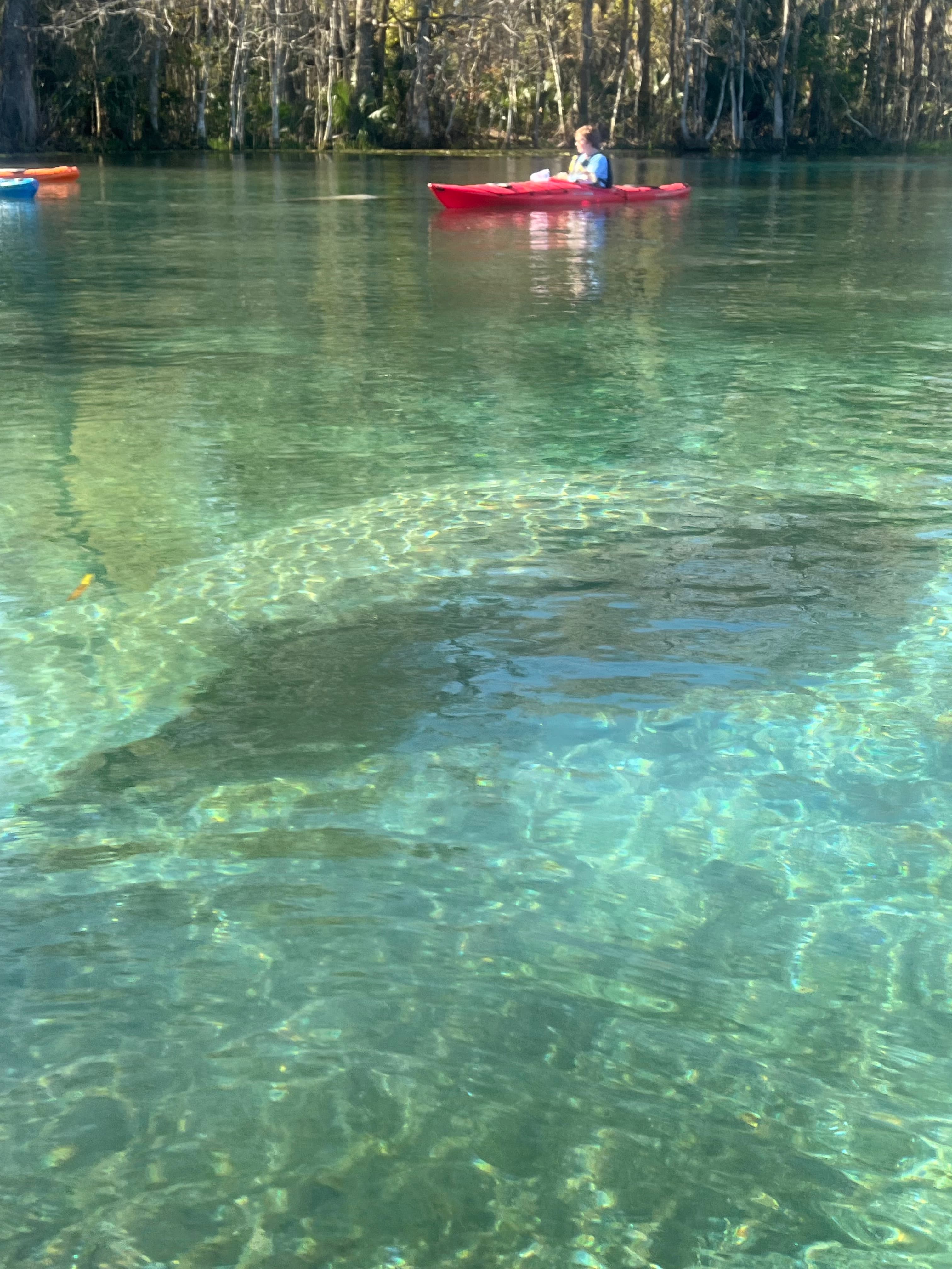
The Silver River is a year-round paddling destination, with water temperatures holding steady at 72 degrees Fahrenheit. Winter and early spring can be particularly rewarding, with increased chances of spotting manatees and less crowded conditions.
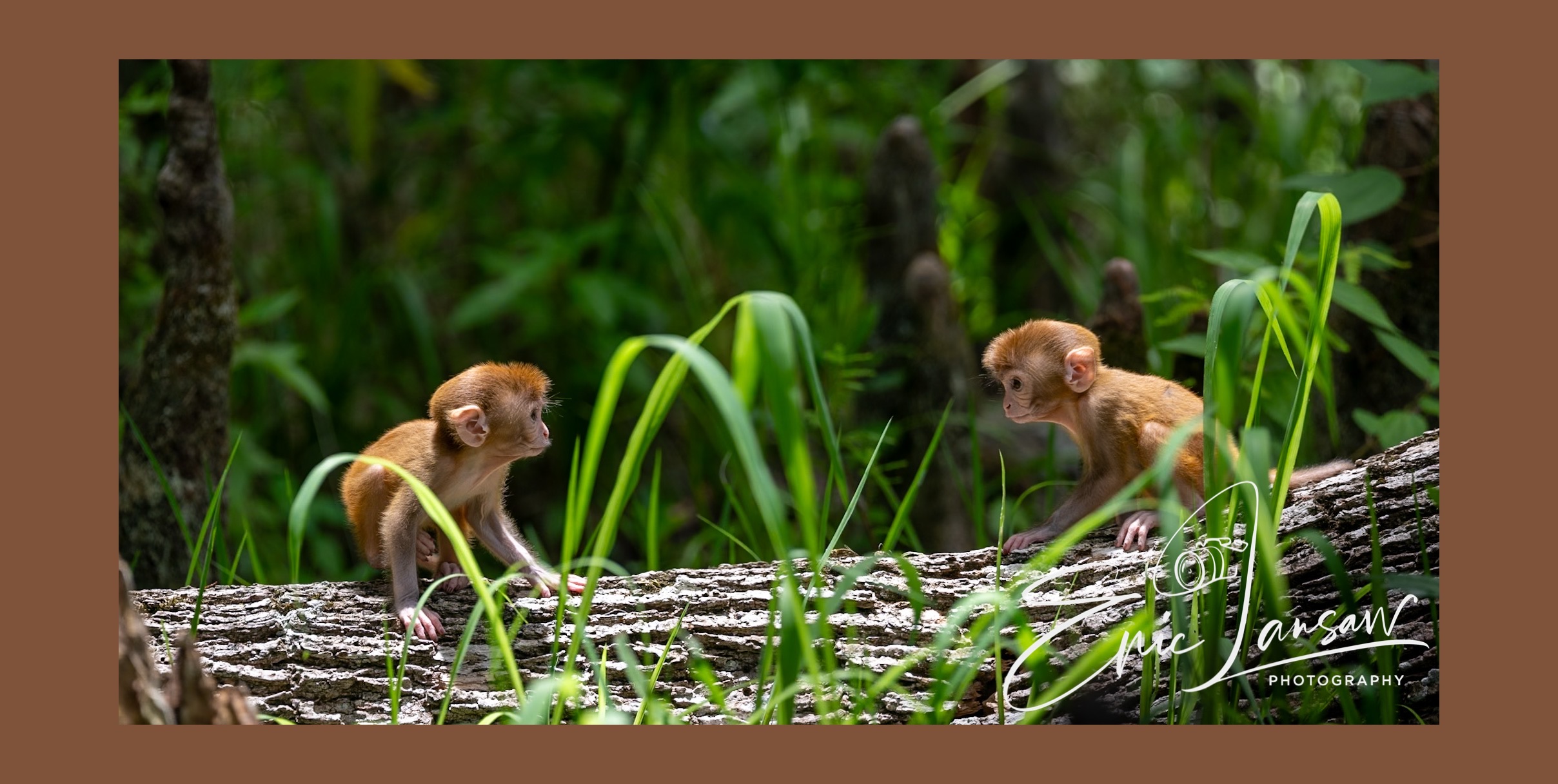
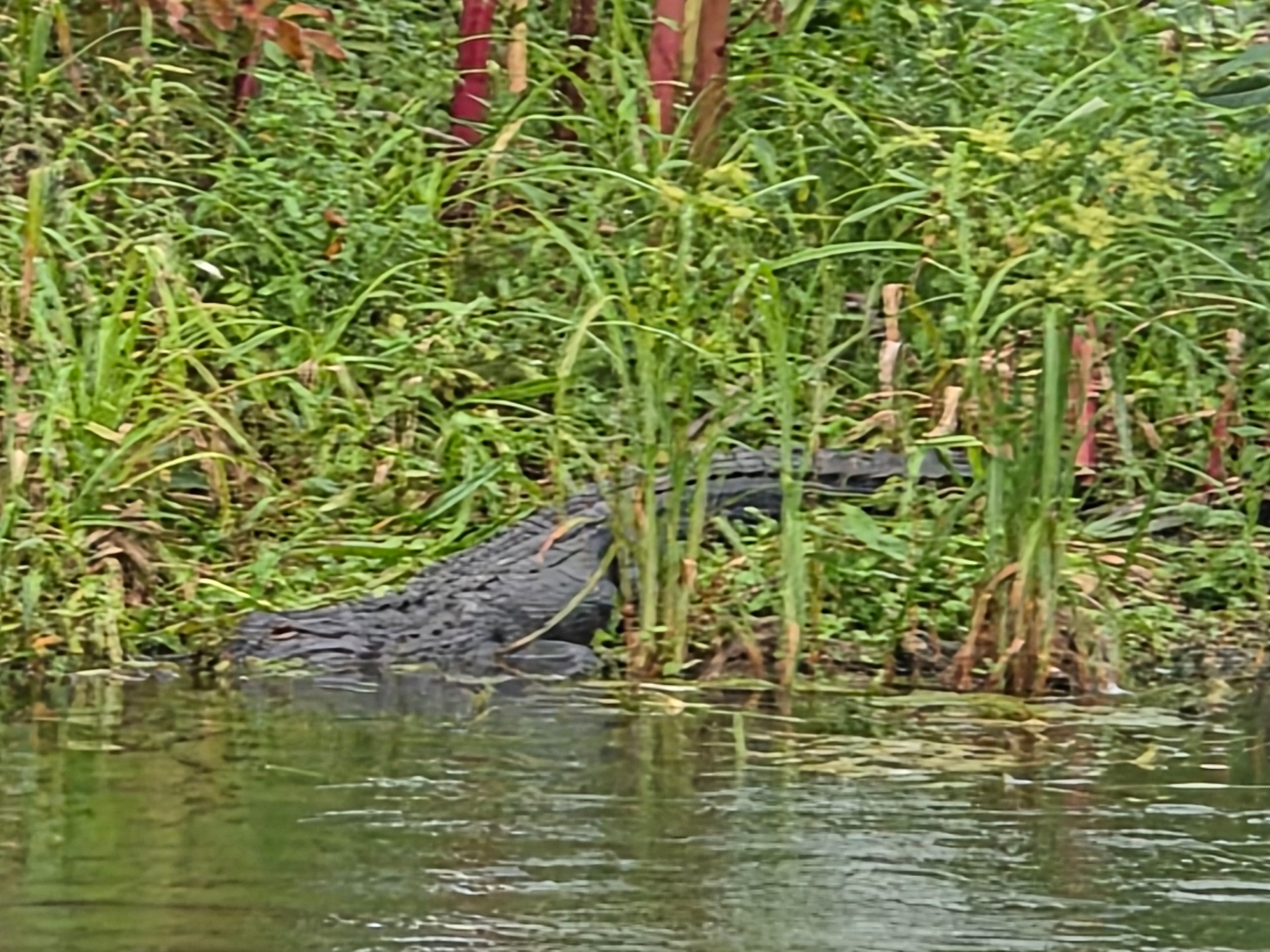
The river's ecosystem is teeming with wildlife, including alligators, turtles, various bird species, and occasionally, wild rhesus monkeys descended from a population introduced in the 1930s. Paddlers should be aware of the glass-bottom boat tours that operate in the area, particularly near Silver Springs, and give them the right of way. The river's clear waters offer unparalleled underwater visibility, allowing paddlers to observe fish and aquatic plants with ease.
Silver Springs State Park serves as the primary access point for most paddlers, offering rentals and launch facilities. Ray Wayside Park, at the river's end, provides an alternative put-in for those wishing to paddle upstream or serves as a take-out point for downstream trips.
The Silver River holds significant historical and cultural value, having been a tourist attraction since the 1870s. The area around Silver Springs has been featured in many Hollywood films and television shows, adding to its allure. While multi-day trips are not common on the Silver River itself due to its short length, many paddlers combine it with explorations of the connecting Ocklawaha River for extended adventures.
Whether you're looking for a quick nature escape or a full day of paddling, the Silver River offers a slice of Old Florida that's sure to leave a lasting impression.
Curated routes
Hand-picked by the PaddleWays team, with put-ins, take-outs, paddle times and the hazards along the way.
RouteFlatwater
Hazards
No hazards are marked on Silver River yet. That is not the same as none being there: if you find one, report it for the next paddler.
From the community
Real trips from PaddleWays paddlers: which route they ran, how the flows were, and what to watch for.
Loading trip reports
Garison M.
Silver creek 8/3/2026
 +7
PaddleWays paddler •
Great flow. Not super crowded on a Sunday. Plenty of manatees & gators seen.
See exactly where the public can get on and off the river. Launch points and boat ramps are paired with PaddleWays' public land data so you know where you can legally land.
Public shoreline
96%of the river's shoreline is public
Flows, weather and a route-by-route verdict, so you know which stretch of the Silver River is worth paddling today.
All Flow Stations
Live flows, marked hazards and fresh trip reports from paddlers who were just on the water, all in one place.





Every user gets free access to launch points, boat ramps, and public property parcels.
Loading popular cities...
PaddleWays gives you everything you need to plan smarter, paddle better, and own every trip from first launch to takeout.