Curated by PaddleWays
RouteFlatwater
- Distance
- 20.8 mi
- Paddle time
- ~7 hrs
- Best for
- Intermediate paddlers
- Put-in → take-out
- Forest Road 329 Bridge Sopchoppy Access (Difficult) → Route 319 Access
Sharp turns and potential log jams
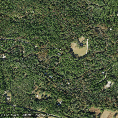
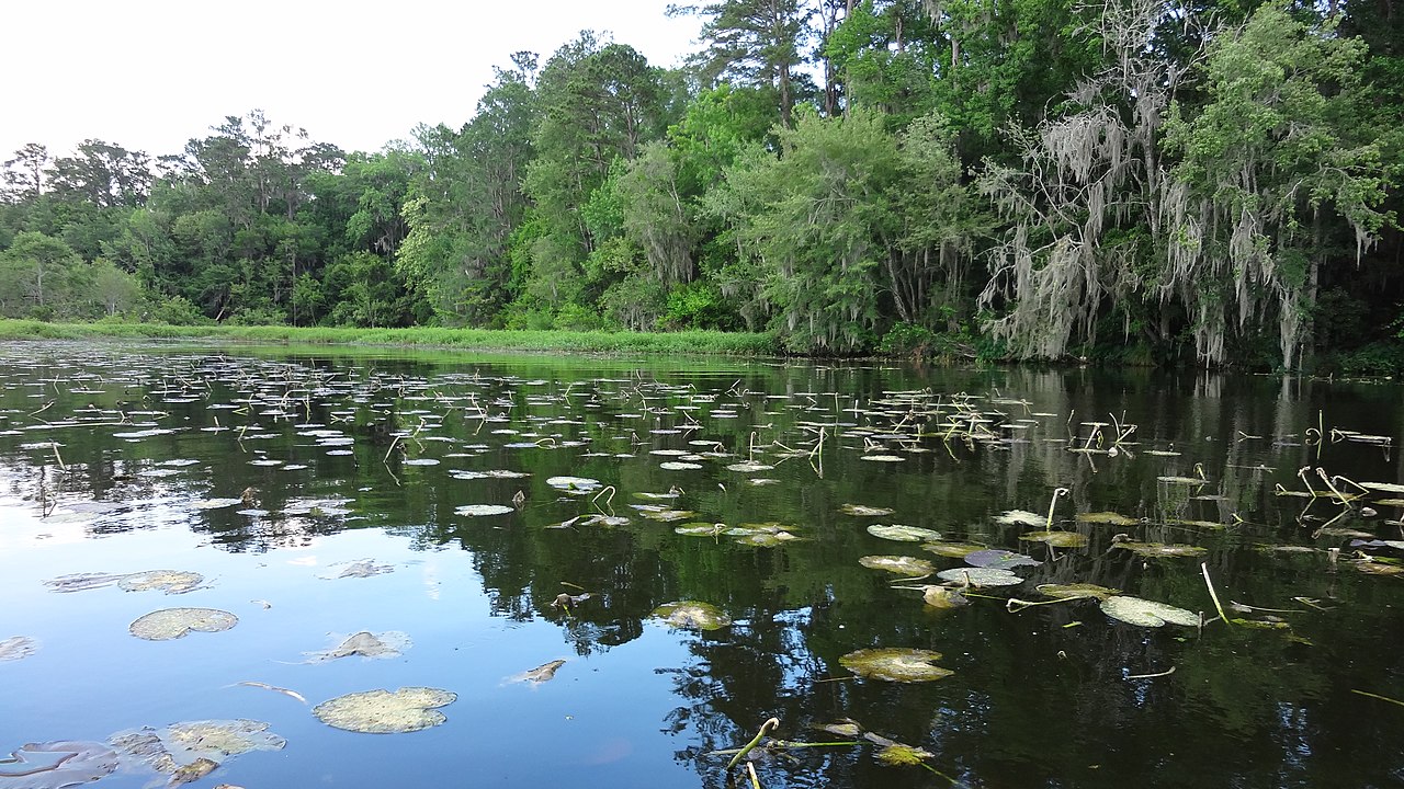
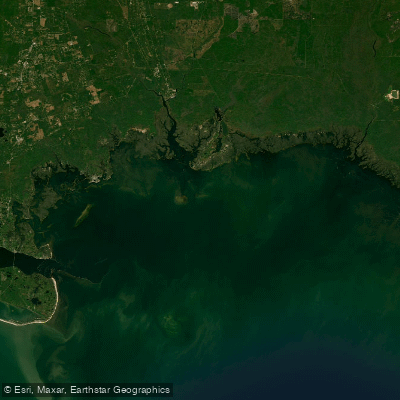
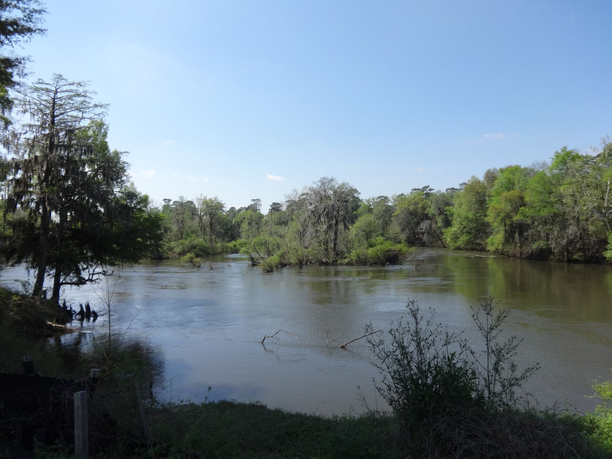
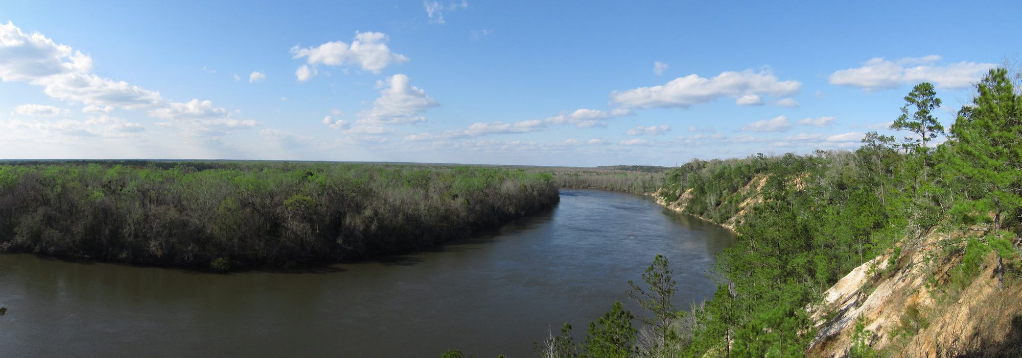
The Sopchoppy River is a scenic blackwater river originating in the Apalachicola National Forest in Florida's Panhandle region. It flows south for approximately 50 miles before joining the Ochlockonee River at Ochlockonee Bay. The river is characterized by high, narrow limestone banks and unique cypress tree formations along its course. Paddling opportunities range from challenging whitewater sections in the upper reaches to calm flatwater stretches downstream.
The designated 15-mile Sopchoppy River Paddling Trail runs from Oak Park Cemetery Bridge (FR 343) to the US 319 bridge, offering a popular route for canoeists and kayakers. The upper 5-mile section from Forest Road 329 to Oak Park Cemetery Bridge is more technical, recommended for experienced paddlers when water levels are adequate. The river's difficulty varies from Class II rapids in the upper section to flatwater paddling downstream. Water levels significantly impact navigability, especially in the upper reaches. The best paddling times are typically spring and fall when water levels are optimal and temperatures are moderate.
The Sopchoppy River ecosystem supports diverse flora and fauna. Paddlers may encounter a variety of wildlife including birds, turtles, and occasionally alligators. The river is known for its excellent freshwater and saltwater fishing opportunities, with species like bass and bream in the upper reaches and saltwater species near the mouth.
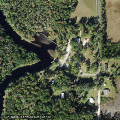
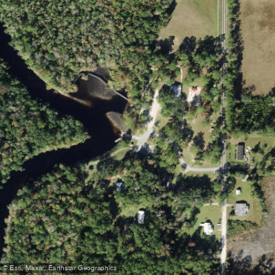
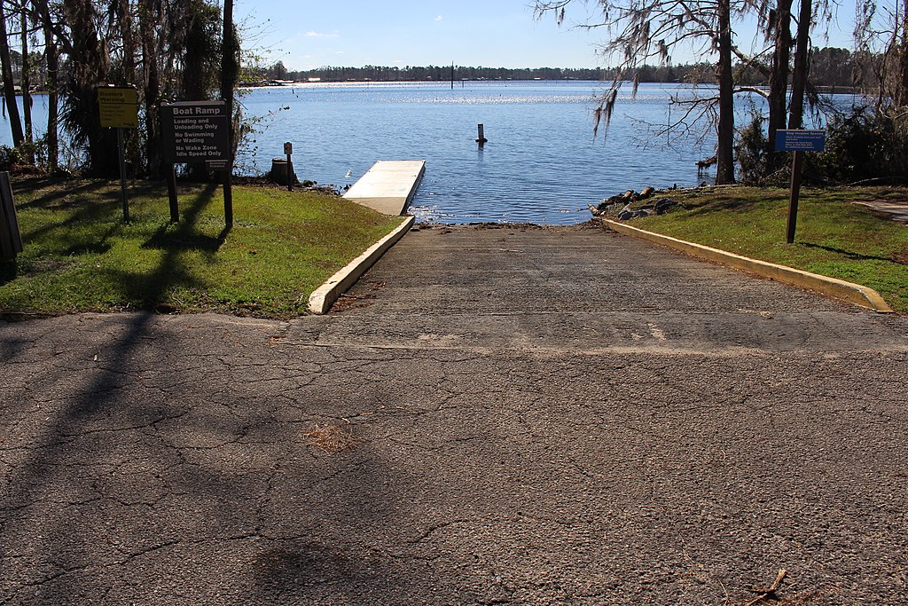
Key landmarks include the Myron B. Hodge City Park in Sopchoppy, which serves as a popular access point and camping area. The park features boat launches, fishing piers, and nature trails along the riverbank. Primary access points include: - Forest Road 329 bridge (upper section) - Oak Park Cemetery Bridge (FR 343) - Myron B. Hodge City Park in Sopchoppy - US 319 bridge
The river holds cultural significance as a longtime recreational resource for local communities. It played a role in the region's logging history, with cypress trees along its banks harvested in the past.
Safety considerations include checking water levels before paddling, especially for the upper section. Paddlers should be aware of submerged obstacles and the potential for rapid water level changes after heavy rains.
For multi-day trips, paddlers can combine the Sopchoppy River Paddling Trail with camping at Myron B. Hodge City Park or explore further downstream towards the confluence with the Ochlockonee River. The Sopchoppy River offers a quintessential Florida Panhandle paddling experience, combining natural beauty, wildlife viewing, and varying levels of paddling challenge in a relatively undeveloped setting.
Curated routes
Hand-picked by the PaddleWays team, with put-ins, take-outs, paddle times and the hazards along the way.
RouteFlatwater
Hazards
No hazards are marked on Sopchoppy River yet. That is not the same as none being there: if you find one, report it for the next paddler.
From the community
Nobody has shared a trip on Sopchoppy River yet. Paddle it, then tell the next paddler how it went.
See exactly where the public can get on and off the river. Launch points and boat ramps are paired with PaddleWays' public land data so you know where you can legally land.
Public shoreline
55%of the river's shoreline is public
Flows, weather and a route-by-route verdict, so you know which stretch of the Sopchoppy River is worth paddling today.
Live flows, marked hazards and fresh trip reports from paddlers who were just on the water, all in one place.





Every user gets free access to launch points, boat ramps, and public property parcels.
Loading popular cities...
PaddleWays gives you everything you need to plan smarter, paddle better, and own every trip from first launch to takeout.