Curated by PaddleWays
RouteClass I–II
- Distance
- 2.4 mi
- Paddle time
- 2.5 hrs
- Put-in → take-out
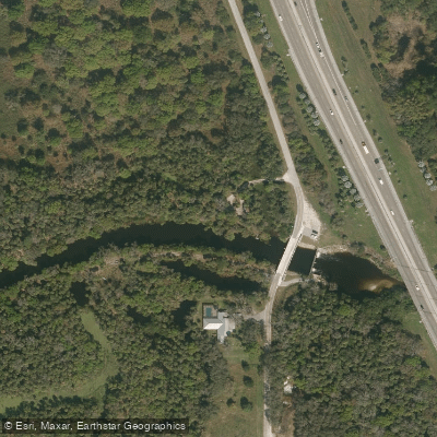
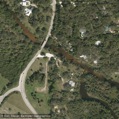
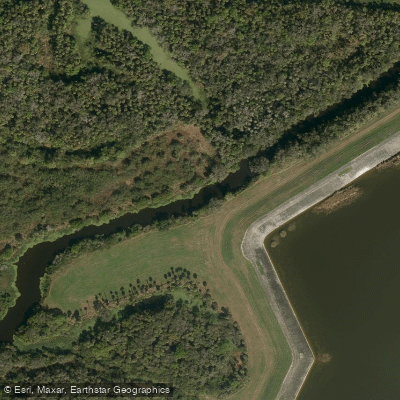
- Ten Mile Creek Preserve Canoe Launch → Richard E. Becker Preserve Canoe Launch
Tenmile Creek in Florida is a scenic waterway that flows through St. Lucie County, serving as a major tributary to the North Fork of the St. Lucie River. This creek system plays a crucial role in the local ecosystem, providing significant water flow to the larger St. Lucie River watershed. The creek offers two distinct paddling sections: the East Paddle and the West Paddle.
The East Paddle is a 5.7-mile journey suitable for novice to intermediate paddlers, typically taking about 2.5 hours to complete. It begins at the Gordy Road Launch in Fort Pierce, where paddlers must carry their kayaks from the parking area to a sandy launch site east of a spillway. Midway through this section, paddlers pass under the Selvitz Road Bridge, which offers an intermediate access point at a county park just 100 feet east of the bridge.
The West Paddle presents a more challenging 8.2-mile route, ideal for intermediate paddlers comfortable with longer trips. This section starts at the kayak launch in the northwest corner of the Ten Mile Creek Bridge on Gordy Road and takes approximately 3.5 hours to complete.
Tenmile Creek's difficulty ranges from Class I to II, making it accessible to a wide range of paddlers. However, water levels and seasonal changes can affect conditions, so it's advisable to check current reports before embarking.
The creek's ecosystem is rich with Florida's native flora and fauna. Paddlers can expect to see ancient laurel oak trees, leather ferns, and bromeliads adorning the shoreline. Wildlife sightings often include ospreys and alligators, offering excellent opportunities for nature enthusiasts and bird watchers.
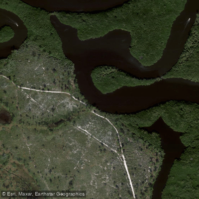
A key point of interest is the Ten Mile Creek Preserve, an eight-acre site that not only provides canoe access but also features a short, self-guided interpretive trail. This trail showcases the area's unique habitats, including floodplain forest and swamp, with views of historic oxbows.
For safety, paddlers should be aware of potential alligator presence and changing water conditions. It's recommended to paddle with a partner and inform others of your trip plans. While multi-day trips are not common on Tenmile Creek itself, the connection to the larger St. Lucie River system offers opportunities for extended paddling adventures.
Tenmile Creek's preservation is a testament to local conservation efforts, protecting not only the waterway but also the surrounding natural lands. This creek provides a peaceful retreat for paddlers seeking to explore a quintessential Florida waterway, rich in both natural beauty and ecological significance.
Curated routes
Hand-picked by the PaddleWays team, with put-ins, take-outs, paddle times and the hazards along the way.
RouteClass I–II
Hazards
No paddler has reported a hazard here yet, so these are the dams, falls and big rapids on our map. Hazards change with flows and storms, so check them before you launch.
From the community
Nobody has shared a trip on Tenmile Creek yet. Paddle it, then tell the next paddler how it went.
See exactly where the public can get on and off the river. Launch points and boat ramps are paired with PaddleWays' public land data so you know where you can legally land.
Public shoreline
10%of the river's shoreline is public
Most of the riverbank is private. Launch, land and camp only at public access points.
Flows, weather and a route-by-route verdict, so you know which stretch of the Tenmile Creek is worth paddling today.
No forecast data available.
Live flows, marked hazards and fresh trip reports from paddlers who were just on the water, all in one place.





Every user gets free access to launch points, boat ramps, and public property parcels.
Loading popular cities...
PaddleWays gives you everything you need to plan smarter, paddle better, and own every trip from first launch to takeout.