Curated by PaddleWays
RouteFlatwater
- Distance
- 3.3 mi
- Paddle time
- ~1 hr
- Best for
- Beginners, families
- Put-in → take-out
- Wakulla River Lower Bridge Boat Ramp → St Marks River Park Boat Ramp
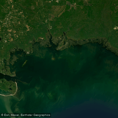
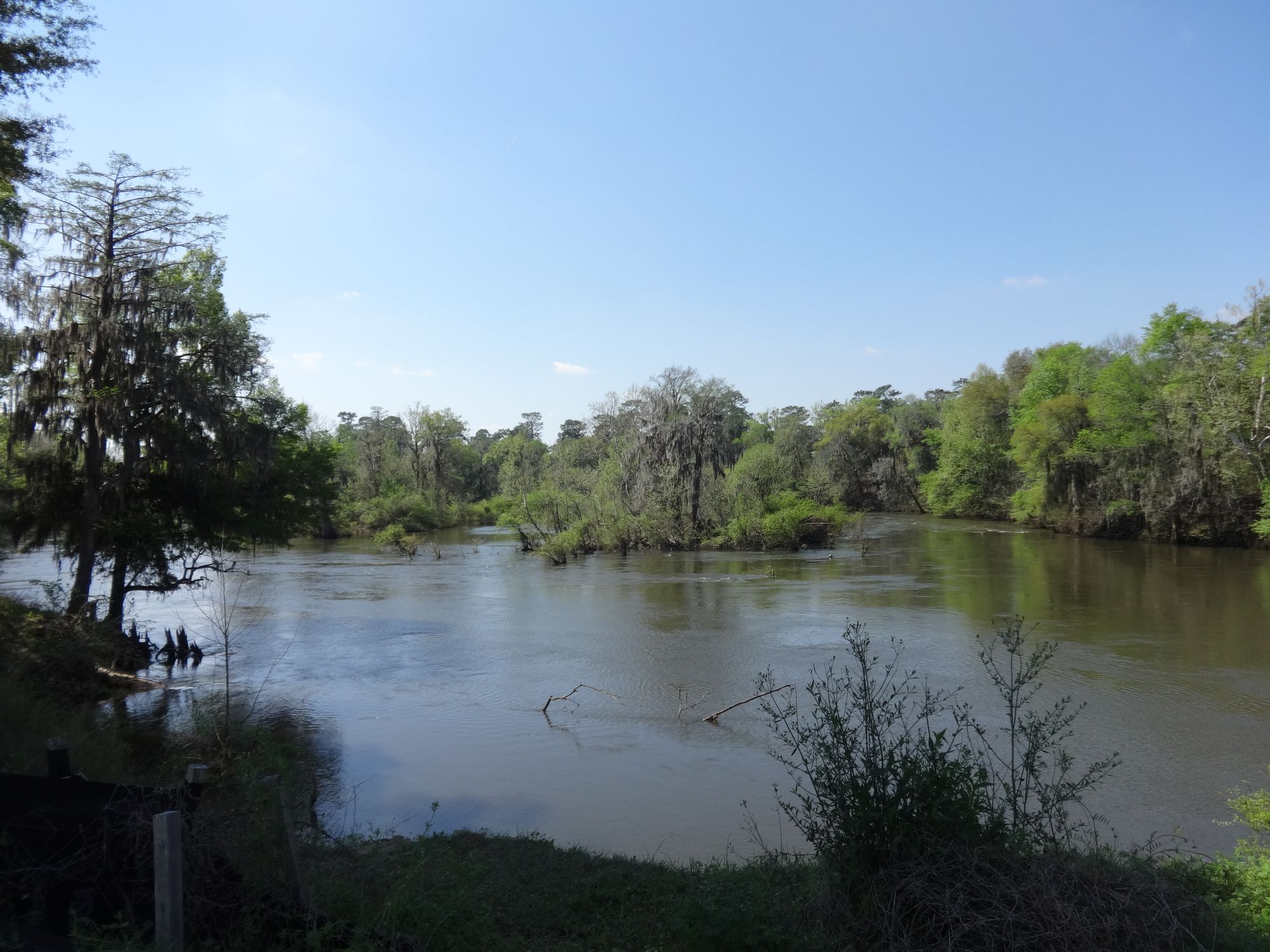
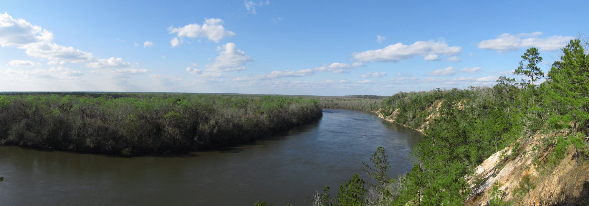
The Wakulla River flows northward through Wakulla County in Florida's Big Bend region, originating from Wakulla Springs—one of the largest and deepest freshwater springs in the world. This 11-mile spring-fed waterway carries crystal-clear water from Edward Ball Wakulla Springs State Park downstream to its confluence with the St. Marks River, approximately 3 miles north of the Gulf of Mexico. The river's drainage basin extends northwest into Leon County and potentially reaches as far north as the Georgia border.
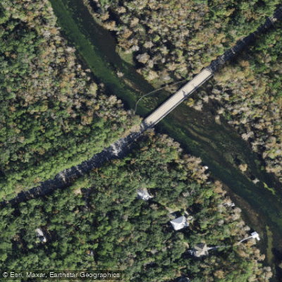
Paddling opportunities center around Florida's official Designated Paddling Trail, which spans 3.3 miles between the CR 365 bridge and US 98 bridge. The upper 3 miles within Edward Ball Wakulla Springs State Park remain restricted to guided tour boats only, with a fence blocking private access just above the CR 365 bridge. Below US 98, paddlers can extend their journey an additional 2.6 miles to St. Marks City Park or 3.2 miles to San Marcos de Apalache Historic State Park, where the Wakulla joins the St. Marks River.
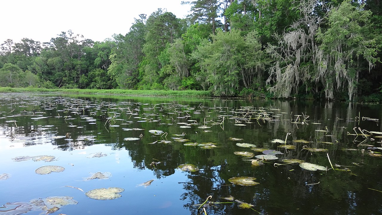
The river maintains beginner-friendly conditions throughout, with gentle currents of 0-1 mph that allow upstream paddling for round-trip excursions. The wide, nearly straight channel flows between moss-draped cypress trees, creating a cathedral-like canopy over much of the route. Tidal influence becomes more pronounced in the lower sections below US 98.
Wildlife viewing ranks among the river's primary attractions. Manatees, once seasonal visitors, now appear year-round, particularly near the US 98 bridge and around mid-river islands. Alligators, turtles, anhinga, cormorant, osprey, limpkin, herons, and egrets populate the waterway consistently. The spring's constant 70-degree water temperature supports this diverse ecosystem throughout the year.
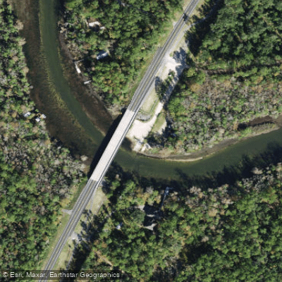
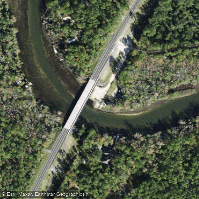
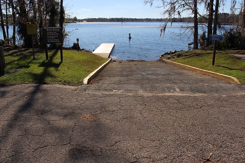
Access points include the unimproved CR 365 bridge launch and the developed US 98 bridge facility with parking, boat ramp, restrooms, and adjacent outfitters. St. Marks City Park provides additional take-out options with full amenities. The river lies within easy reach of Tallahassee, Crawfordville, and the historic town of St. Marks.
Historically, this waterway served as a crucial transportation route for Native Americans and Spanish explorers. The confluence area holds particular significance as the site of multiple colonial fortifications, now preserved at San Marcos de Apalache Historic State Park.
The entire river operates as a no-wake zone due to manatee protection requirements. Weekend and summer crowds can be substantial, making weekday visits preferable for solitude. The constant spring flow ensures year-round paddling conditions, though Florida's pleasant winter months offer the most comfortable temperatures for extended trips.
Curated routes
Hand-picked by the PaddleWays team, with put-ins, take-outs, paddle times and the hazards along the way.
RouteFlatwater
RouteFlatwater
Hazards
No hazards are marked on Wakulla River yet. That is not the same as none being there: if you find one, report it for the next paddler.
From the community
Real trips from PaddleWays paddlers: which route they ran, how the flows were, and what to watch for.
Loading trip reports
Aliki M.
SUP •
75 cfs at Crawfordville
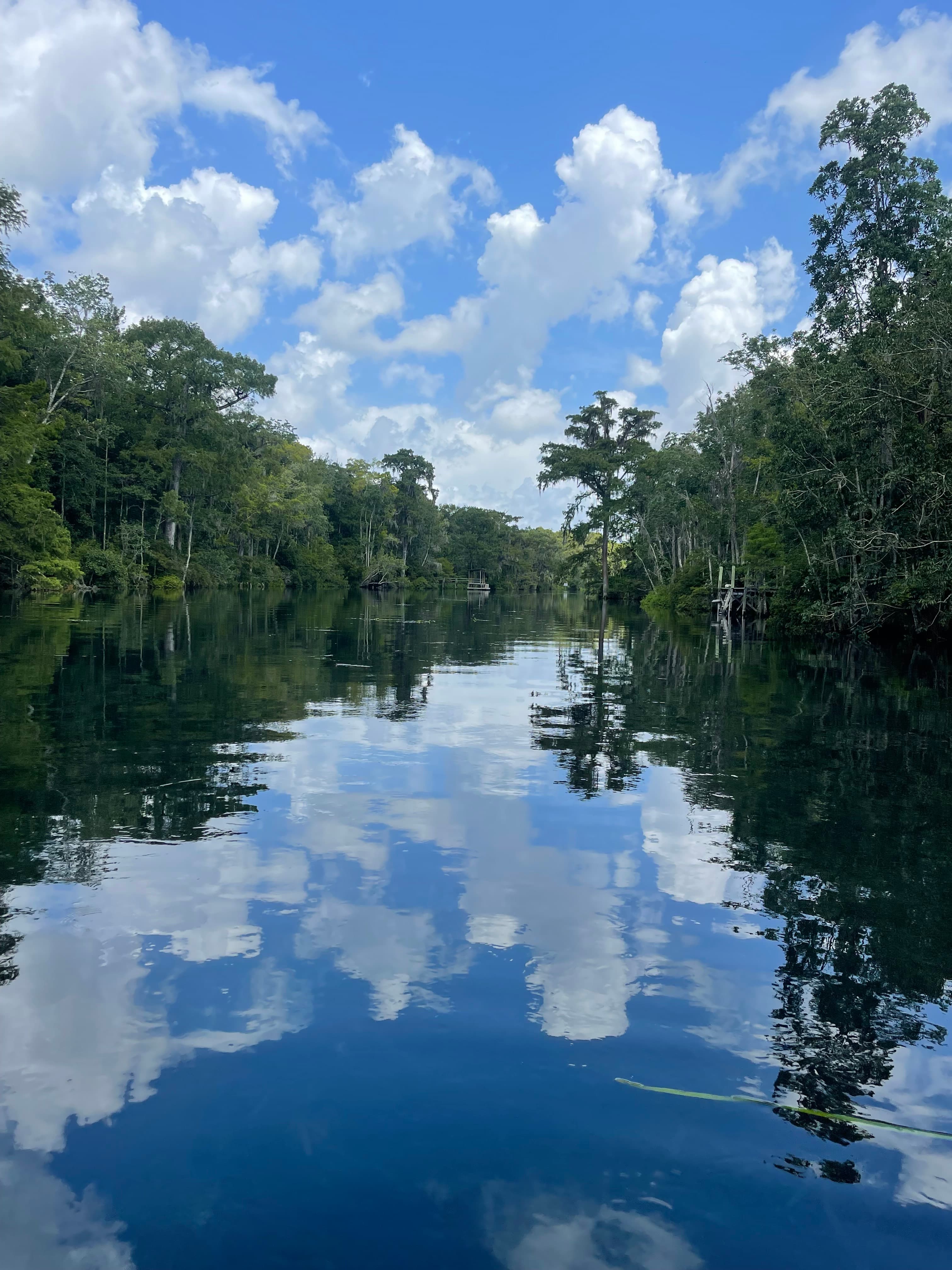
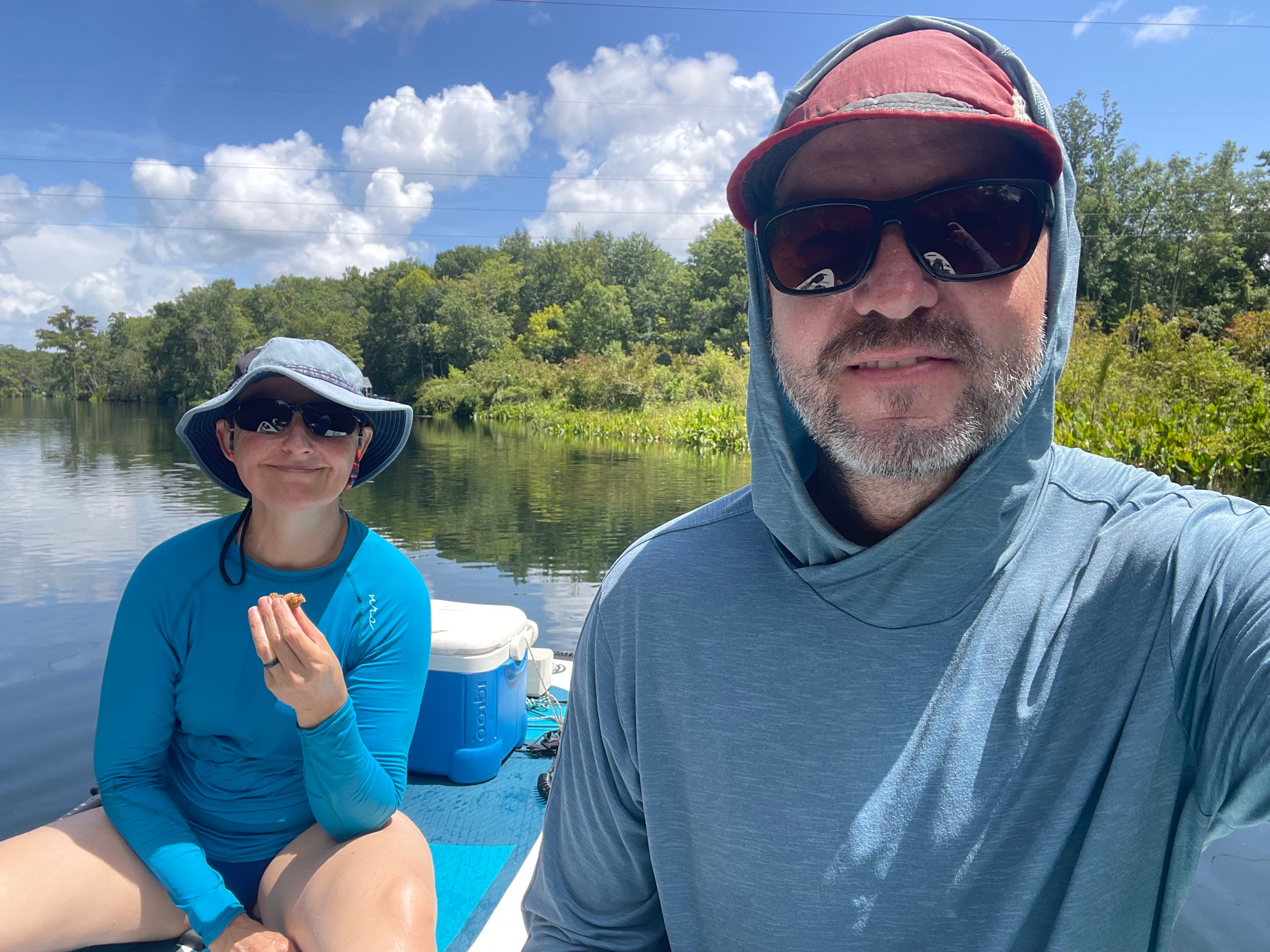
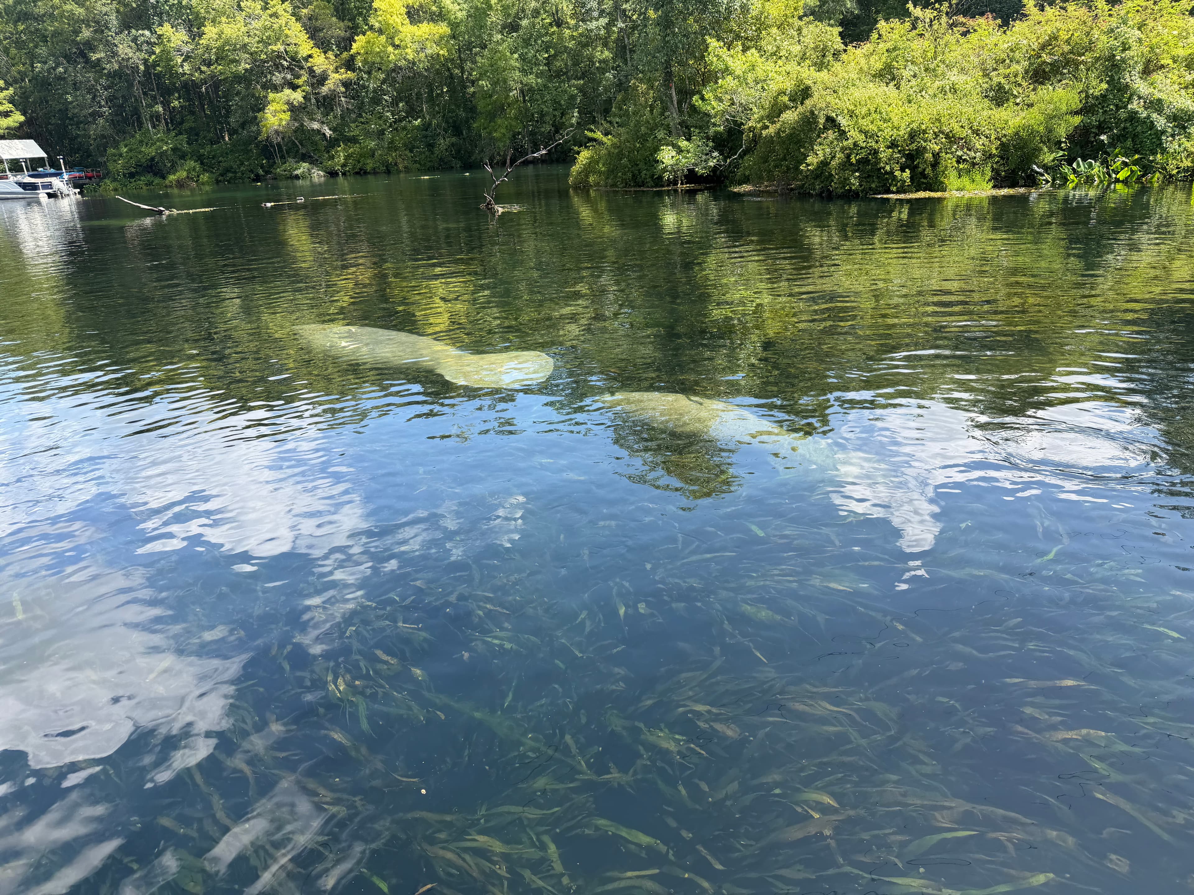
So many manatees today! We saw 12 individuals, 3 were small babies!
 +1
See exactly where the public can get on and off the river. Launch points and boat ramps are paired with PaddleWays' public land data so you know where you can legally land.
Public shoreline
41%of the river's shoreline is public
Most of the riverbank is private. Launch, land and camp only at public access points.
Flows, weather and a route-by-route verdict, so you know which stretch of the Wakulla River is worth paddling today.
All Flow Stations
Live flows, marked hazards and fresh trip reports from paddlers who were just on the water, all in one place.





Every user gets free access to launch points, boat ramps, and public property parcels.
Loading popular cities...
PaddleWays gives you everything you need to plan smarter, paddle better, and own every trip from first launch to takeout.