Bull Sluice Lake
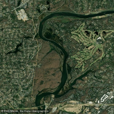
Bull Sluice Lake
- Boat Ramps
- 0
- Access Points
- 0
- Campsites
- 0
Bull Sluice Lake is a section of the Chattahoochee River backed up by Morgan Falls Dam in Georgia. Despite its name, it maintains a river-like character, appearing only slightly wider than the free-flowing sections of the Chattahoochee. The lake portion extends approximately 4 miles, with notably slow current requiring consistent paddling to make forward progress.
Access is available at Morgan Falls Overlook Park, which features a boat dock and concrete pathway to the parking lot. An additional take-out point is located at the Chattahoochee River Park Boat Ramp (near mile marker 317.5 on Azalea Drive in Roswell), which offers restroom facilities and picnic areas.
The paddling experience is characterized by flat, calm water ideal for beginners. Numerous inlets and small creeks branch off from the main channel, offering opportunities to explore marshlands and quiet backwaters. These areas are particularly good for wildlife viewing and photography, with common sightings including blue herons, geese, beavers, and muskrats.
For those continuing to Morgan Falls Dam, there are two take-out options: Morgan Falls Overlook Park or the dam itself. The dam take-out requires coordination with Georgia Power to open a gate for vessel removal. Portaging around the dam is possible for those continuing downstream, with a boat ramp available below the dam.
The water stays relatively cool year-round, rarely exceeding 50 degrees Fahrenheit. Summer days can be extremely hot on the water, so planning for morning paddling is advisable. The lake is part of the Chattahoochee River National Recreation Area, and standard park hours apply - paddling is permitted from 30 minutes before sunrise until 30 minutes after sunset, with no night paddling allowed.
Water access, boat ramps & amenities
Learn how to get on Bull Sluice Lake. Uncover great paddling access points, boat ramps, and all the facilities you need for an unforgettable day on the water. Some locations shown may border or include private property. Always check property boundaries and applicable regulations before visiting. PaddleWays's Public & Private Land layer can help you plan your access with confidence.
Paddle smarter with real-time insights
Whether you're en route and conditions shift or you're looking for the best spot based on current flows, we enable you to make informed decisions on the fly.








Find Places to Paddle

Over 400,000 Places to Paddle
Every user gets free access to launch points, boat ramps, and public property parcels.


Water and weather conditions (10 day forecast)
See the best times to paddle Bull Sluice Lake and check the forecast before you go.
CHATTAHOOCHEE R 0.27 MI US WILLEO CR, ROSWELL, GA
All Flow Stations
Paddling near Bull Sluice Lake

Chattahoochee River
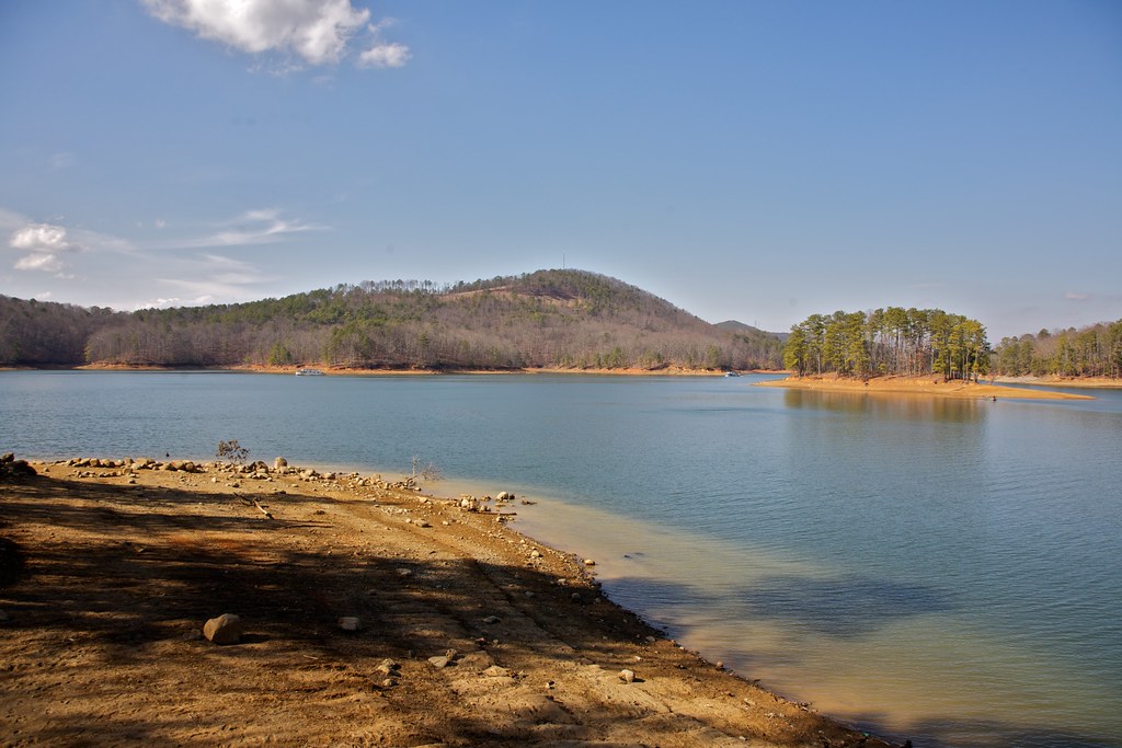
Allatoona Lake
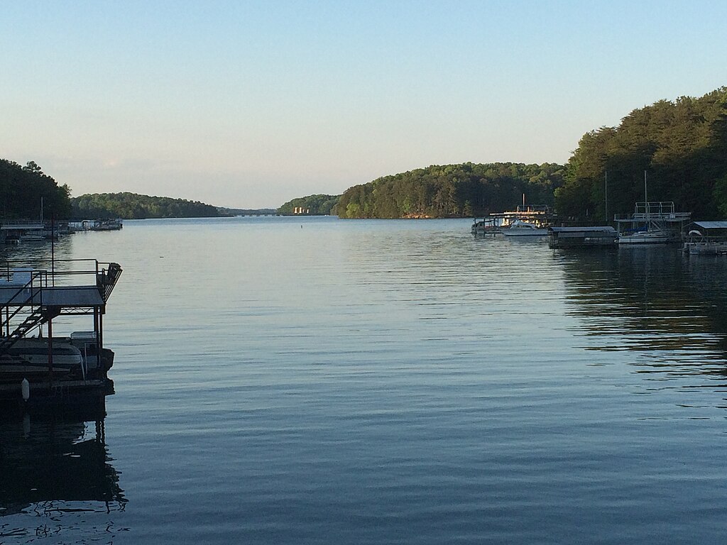
Lake Sidney Lanier
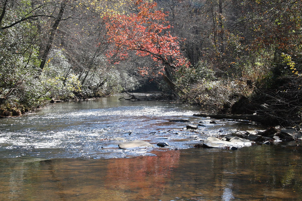
Etowah River

Flint River
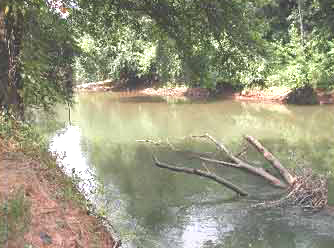
Ocmulgee River
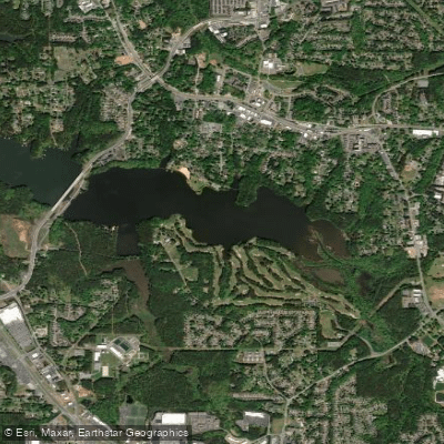
Lake Acworth
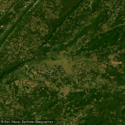
Weiss Lake
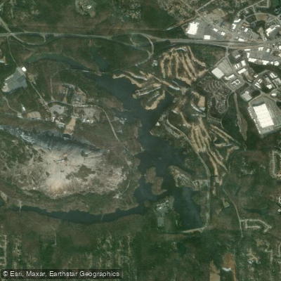
Stone Mountain Lake
Explore Georgia waters
Top paddling waters
Popular Cities
Loading popular cities...
Explore near Bull Sluice Lake
Access points
Nearby waters
More in Georgia

Smarter Paddling Starts in the App.
Paddleways gives you everything you need to plan smarter, paddle better, and own every trip from first launch to takeout.