Chestatee River
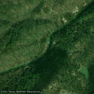
Chestatee River
- Boat Ramps
- 3
- Access Points
- 8
- Campsites
- 9
The Chestatee River is a scenic waterway in northern Georgia, originating in the Appalachian foothills near Dahlonega and flowing southward for approximately 40 miles before joining Lake Lanier. This river system drains a significant portion of Lumpkin County and is a major tributary of the Chattahoochee River. The Chestatee offers diverse paddling opportunities across several distinct sections.
The upper reaches near Dahlonega feature more technical Class II-III whitewater, including the challenging Dicks Creek Falls section. As the river progresses southward, it transitions to milder Class I-II rapids interspersed with calm stretches, making it suitable for a range of skill levels. Paddlers can enjoy sections ranging from short 2-mile runs to longer 32-mile journeys. Popular put-ins include Turner's Corner, Town Creek Church Bridge, and the old Copper Mine area. Take-outs are available at various bridges and the Lumpkin County Park on Lake Lanier.
The river's difficulty varies seasonally, with higher water levels in spring and after heavy rains increasing the challenge. Late spring through early fall generally offers the best paddling conditions for most skill levels. Winter paddling is possible but requires cold water gear.
The Chestatee's banks are lined with diverse hardwood forests, providing habitat for wildlife like deer, turkey, and various bird species. Paddlers may spot turtles basking on logs and fish in the clear waters. Key landmarks include Grindle Falls, a significant rapid in the middle section, and the historic Copper Mine area, a reminder of the region's gold mining past. The river played a crucial role in the Georgia Gold Rush of the 1820s, and remnants of old mining operations can still be seen along some stretches.
Dahlonega serves as the primary access point for the upper river, while various bridges provide entry to lower sections. Paddlers should be aware of occasional strainers and low-head dams, particularly after high water events. For those seeking a multi-day adventure, it's possible to paddle the entire length of the Chestatee from Dahlonega to Lake Lanier, with primitive camping available at some access points. However, most trips are typically day excursions due to the river's relatively short length.
The Chestatee River offers a perfect blend of natural beauty, historical significance, and paddling excitement, making it a cherished destination for outdoor enthusiasts in northern Georgia.
Water access, boat ramps & amenities
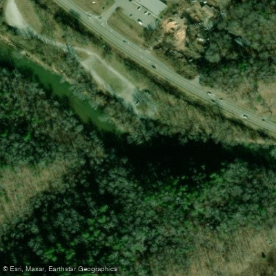
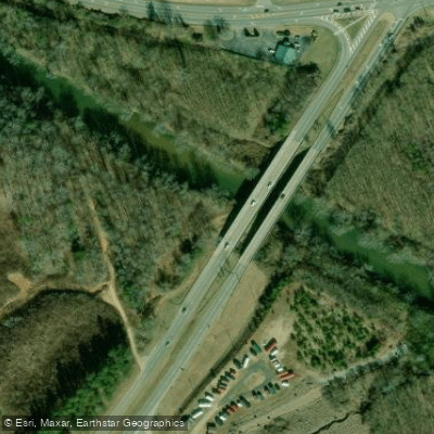
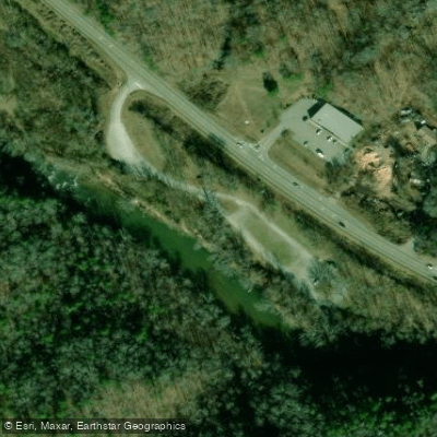
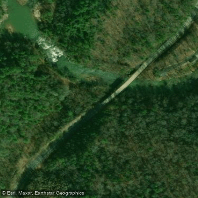
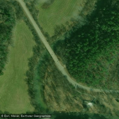
Learn how to get on Chestatee River. Uncover great paddling access points, boat ramps, and all the facilities you need for an unforgettable day on the water. Some locations shown may border or include private property. Always check property boundaries and applicable regulations before visiting. PaddleWays's Public & Private Land layer can help you plan your access with confidence.
Paddle smarter with real-time insights
Whether you're en route and conditions shift or you're looking for the best spot based on current flows, we enable you to make informed decisions on the fly.








Find Places to Paddle

Over 400,000 Places to Paddle
Every user gets free access to launch points, boat ramps, and public property parcels.


Water and weather conditions (10 day forecast)
See the best times to paddle Chestatee River and check the forecast before you go.
CHESTATEE RIVER NEAR DAHLONEGA, GA
Paddling near Chestatee River
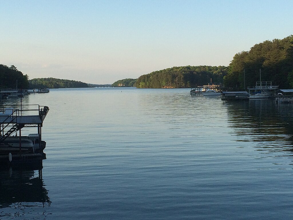
Lake Sidney Lanier

Chattahoochee River
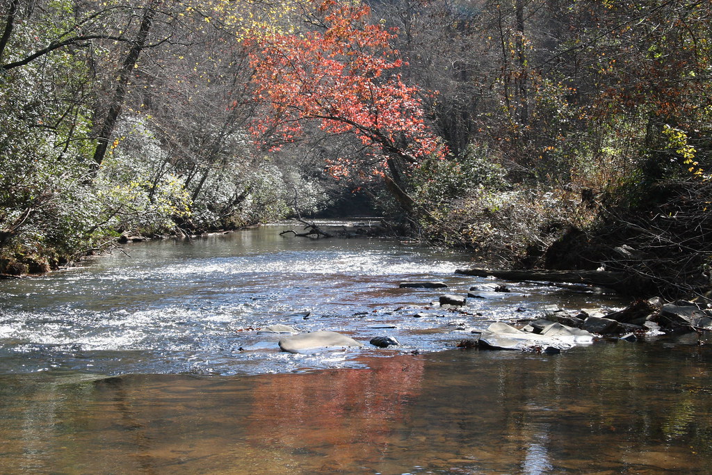
Etowah River
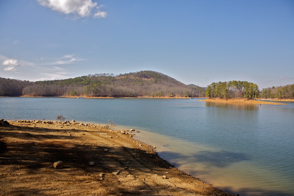
Allatoona Lake
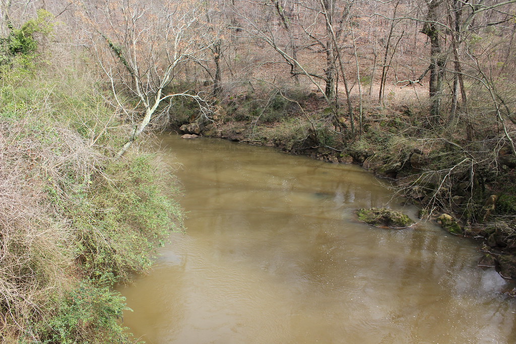
Oconee River
Toccoa River

Little Tennessee River
Chauga River
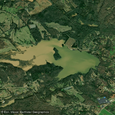
Reservoir 51
Explore Georgia waters
Top paddling waters
Popular Cities
Loading popular cities...
Explore near Chestatee River
Access points
Nearby waters
More in Georgia

Smarter Paddling Starts in the App.
Paddleways gives you everything you need to plan smarter, paddle better, and own every trip from first launch to takeout.