Curated by PaddleWays
RouteClass I
- Distance
- 8.3 mi
- Paddle time
- ~3 hrs
- Put-in → take-out
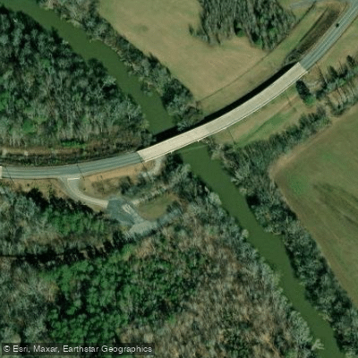
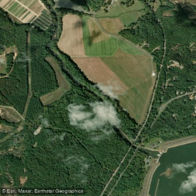
- Coosawattee River Access → Ralston's Farm Access
The Coosawattee River is a scenic waterway located in northwest Georgia, offering paddlers a diverse range of experiences from gentle whitewater to serene lake paddling. Beginning at the confluence of the Ellijay and Cartecay rivers in Ellijay, GA, the Coosawattee flows for approximately 25 miles before emptying into Carter's Lake.
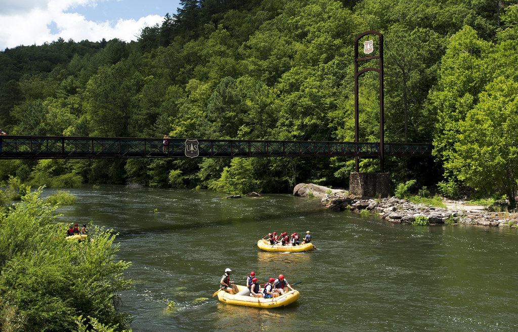
The river is best known for its 13-mile stretch from Ellijay to Carter's Lake, which provides an excellent introduction to whitewater paddling. This section features Class I-II rapids, making it suitable for beginners and intermediate paddlers alike. The first 9-10 miles offer a mix of shoals and gentle rapids, while the final 3-4 miles transition into lake paddling as you approach Carter's Lake.
For those seeking a more relaxed experience, the 11-mile section from GA Route 5 to Carter's Lake is particularly popular among families and novice paddlers. This stretch offers a gentle introduction to river paddling, with easy rapids and calm stretches perfect for enjoying the scenic landscape of Gilmer County.
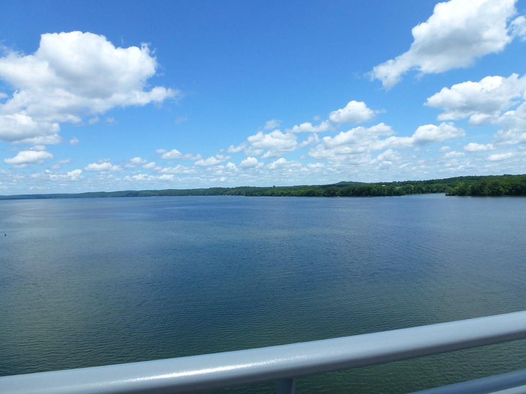
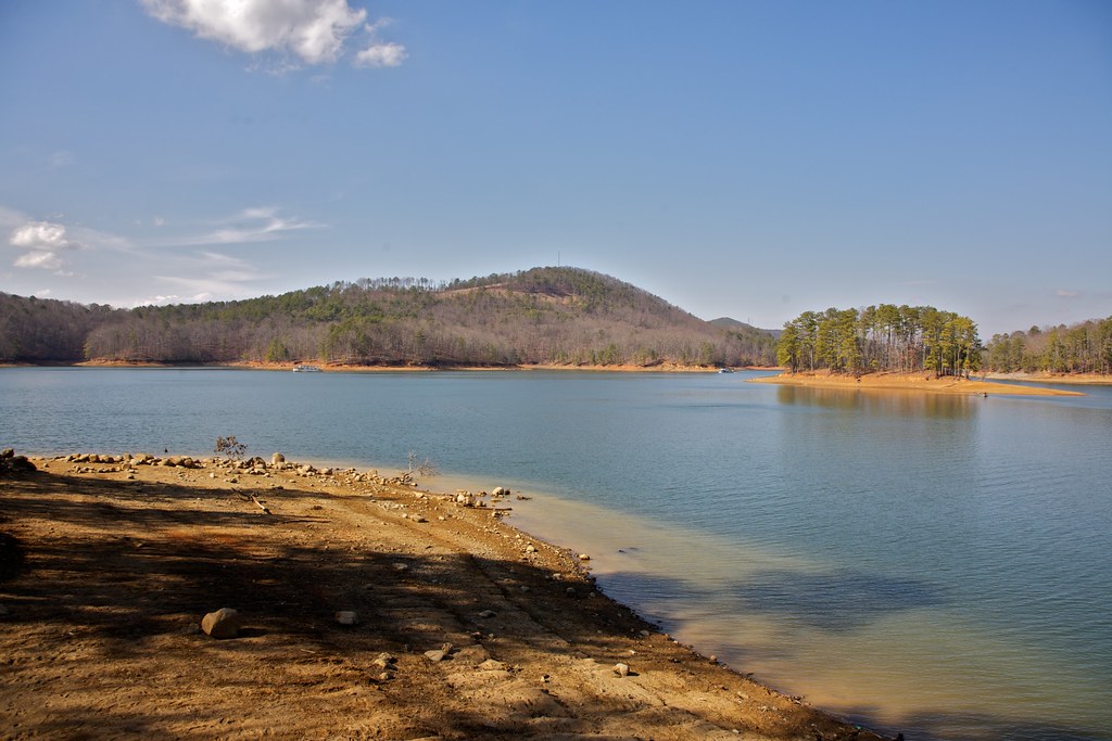
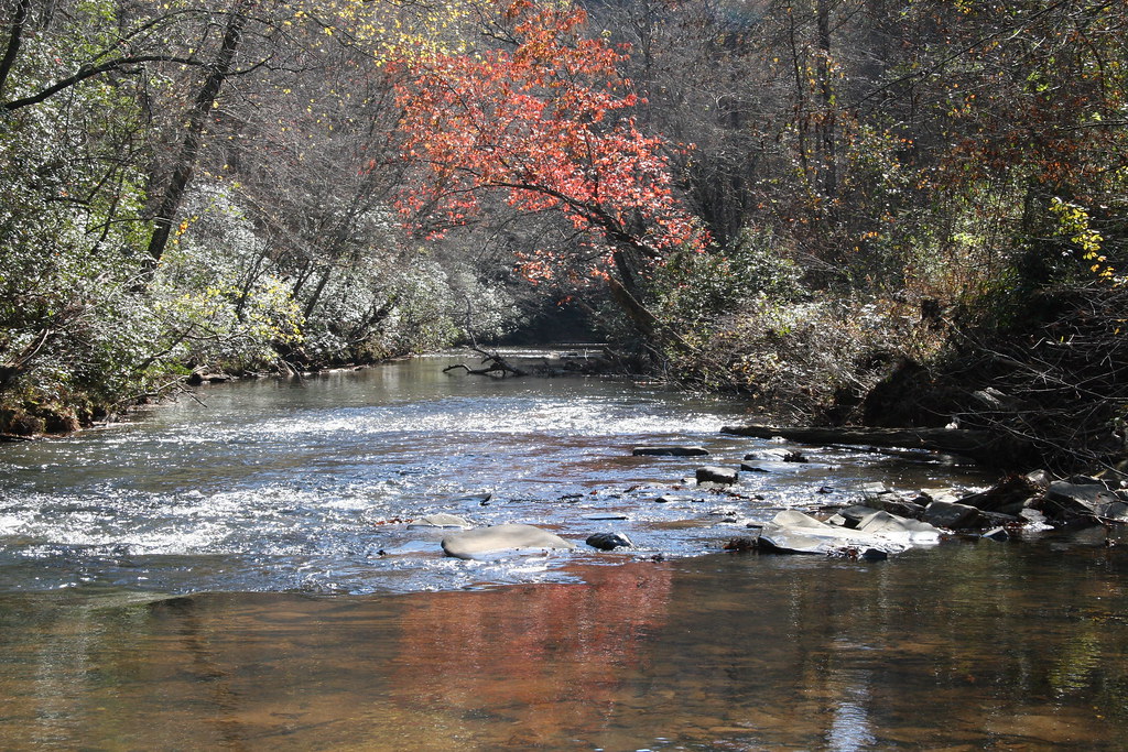
The Coosawattee is typically paddleable year-round, but spring and fall offer the most comfortable temperatures and beautiful scenery. Fall foliage views are particularly stunning, especially when paddling on Carter's Lake. Water levels can vary seasonally, so it's wise to check current conditions before planning your trip.
Wildlife enthusiasts will appreciate the diverse ecosystem along the river. Keep an eye out for various fish species, including bass, bream, and the occasional walleye. The surrounding forests are home to numerous bird species and other wildlife typical of the North Georgia mountains.
Several access points make the Coosawattee easy to explore. Popular put-ins include Ellijay, GA Route 5, and GA Route 282. Take-outs are available at various points along Carter's Lake, including the Ridgeway Road Boat Ramp. The nearby towns of Ellijay and Chatsworth offer amenities and services for paddlers.
The Coosawattee holds a special place in American literature and film history. It served as the inspiration for James Dickey's 1970 novel "Deliverance," which was later adapted into a famous film. This connection adds a layer of cultural significance to the paddling experience.
Safety is paramount on any river trip. While the Coosawattee is generally considered beginner-friendly, all paddlers should wear appropriate safety gear, including life jackets. Be aware of changing water levels, especially below the re-regulation dam at Carter's Lake, where water releases can affect conditions downstream.
For those interested in multi-day adventures, the Coosawattee can be combined with paddling on Carter's Lake and the lower sections of the river below the dam. The General Store @ Eagle Mountain offers villa rentals and shuttle services, enhancing the overall paddling experience for visitors.
Whether you're seeking a gentle float, a bit of whitewater excitement, or a peaceful day on the lake, the Coosawattee River offers something for every paddler. Its blend of natural beauty, varied paddling options, and rich cultural history make it a true gem among Georgia's rivers.
Curated routes
Hand-picked by the PaddleWays team, with put-ins, take-outs, paddle times and the hazards along the way.
RouteClass I
RouteClass I–II
Hazards
No paddler has reported a hazard here yet, so these are the dams, falls and big rapids on our map. Hazards change with flows and storms, so check them before you launch.
From the community
Nobody has shared a trip on Coosawattee River yet. Paddle it, then tell the next paddler how it went.
See exactly where the public can get on and off the river. Launch points and boat ramps are paired with PaddleWays' public land data so you know where you can legally land.
Public shoreline
31%of the river's shoreline is public
Most of the riverbank is private. Launch, land and camp only at public access points.
Flows, weather and a route-by-route verdict, so you know which stretch of the Coosawattee River is worth paddling today.
All Flow Stations
Scheduled releases and generation forecasts from the dams on Coosawattee River.
Coosawattee River · Below Carters Dam · U.S. Army Corps of Engineers, Mobile District
Generating until 11:00 PM EST, up to 436 MW
Forecast updated today at 7:42 PM EST. Schedules can change, so check the operator's page before you go.
Live flows, marked hazards and fresh trip reports from paddlers who were just on the water, all in one place.





Every user gets free access to launch points, boat ramps, and public property parcels.
Loading popular cities...
PaddleWays gives you everything you need to plan smarter, paddle better, and own every trip from first launch to takeout.