Lake Murray
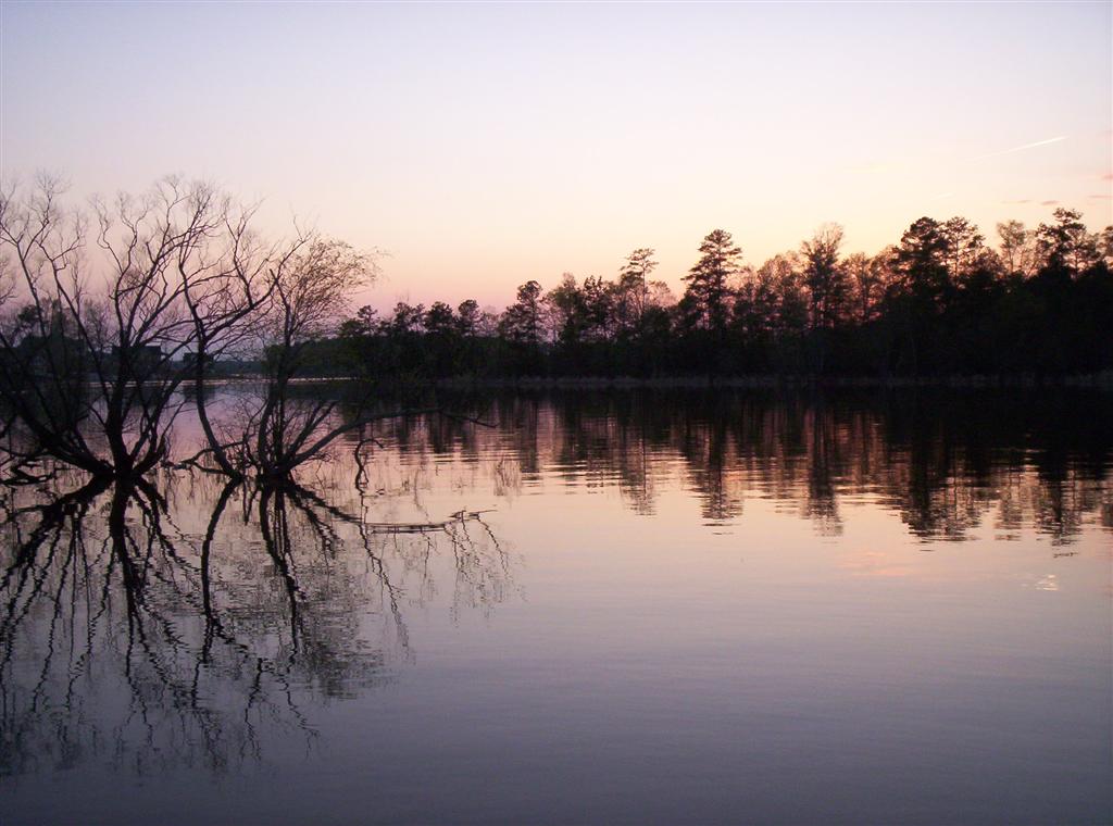
Lake Murray
- Boat Ramps
- 19
- Access Points
- 26
- Campsites
- 1
Lake Murray, located just west of Columbia, South Carolina, offers 55,000 acres of water and 650 miles of shoreline for paddling adventures. The lake is easily accessible from I-26, with the Dreher Shoals Dam providing convenient access points on both the Lexington and Irmo sides. The Irmo side features a launch pad just below the water's surface, ideal for kayaks and paddleboards.
Paddlers can enjoy calm waters suitable for leisurely cruising, with opportunities for fishing, swimming, and wildlife viewing. The lake's buffer zone creates a natural setting despite its proximity to the city. Wildlife sightings may include deer, loons, wood ducks, and ospreys. In summer, Bomb Island hosts a spectacular gathering of Purple Martins at sunset.
Dreher Island State Park, on the quieter side of the lake, provides additional paddling opportunities with kayak rentals available. The park features a sandy beach, hiking trails, and camping facilities. A $3 fee (or $45 season pass) is required to use the facilities at some access points.
Lake Murray's temperate climate allows for year-round paddling, though summer months bring additional activities like water skiing and jet skiing. Water clarity is good, with one paddler describing it as "clear and refreshing."
While alligator sightings are extremely rare, paddlers should be aware of their remote possibility. The lake is generally considered safe for swimming and paddling. Boat traffic can be heavy on weekends, so early mornings or weekdays may offer a more serene experience.
The lake's man-made origin as a hydroelectric reservoir gives it historical significance. Its vast size and numerous coves provide ample opportunities for exploration, with some paddlers reporting trips to small islands with primitive campsites.
Water access, boat ramps & amenities
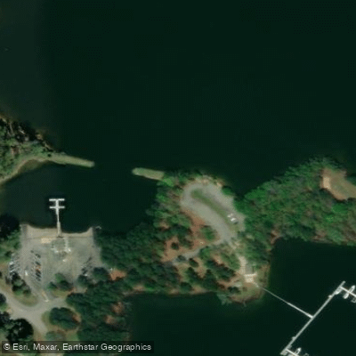
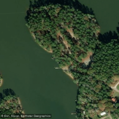
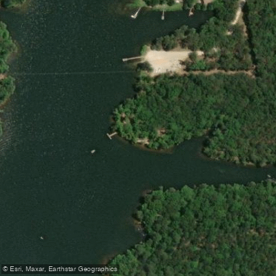
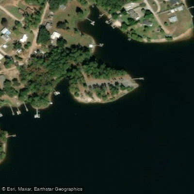
Learn how to get on Lake Murray. Uncover great paddling access points, boat ramps, and all the facilities you need for an unforgettable day on the water. Some locations shown may border or include private property. Always check property boundaries and applicable regulations before visiting. PaddleWays's Public & Private Land layer can help you plan your access with confidence.
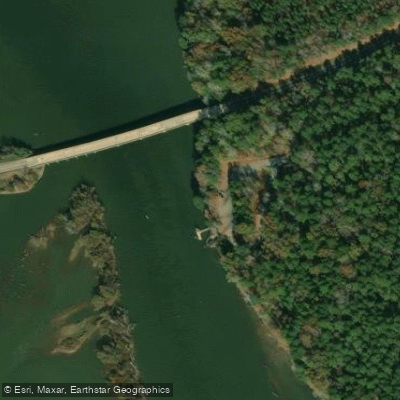
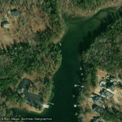
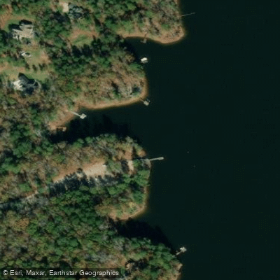
Paddle smarter with real-time insights
Whether you're en route and conditions shift or you're looking for the best spot based on current flows, we enable you to make informed decisions on the fly.








Find Places to Paddle

Over 400,000 Places to Paddle
Every user gets free access to launch points, boat ramps, and public property parcels.


Water and weather conditions (10 day forecast)
See the best times to paddle Lake Murray and check the forecast before you go.
SALUDA R NEAR PROSPERITY, SC
All Flow Stations
Paddling near Lake Murray

Saluda River

Broad River
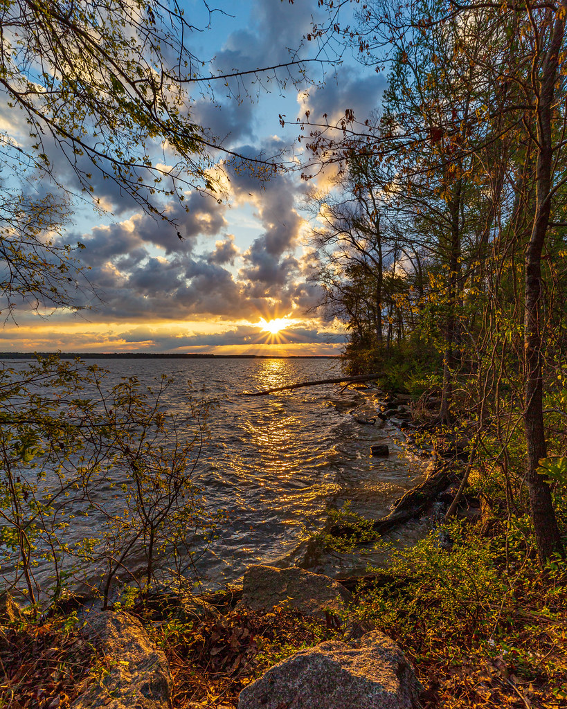
Lake Marion
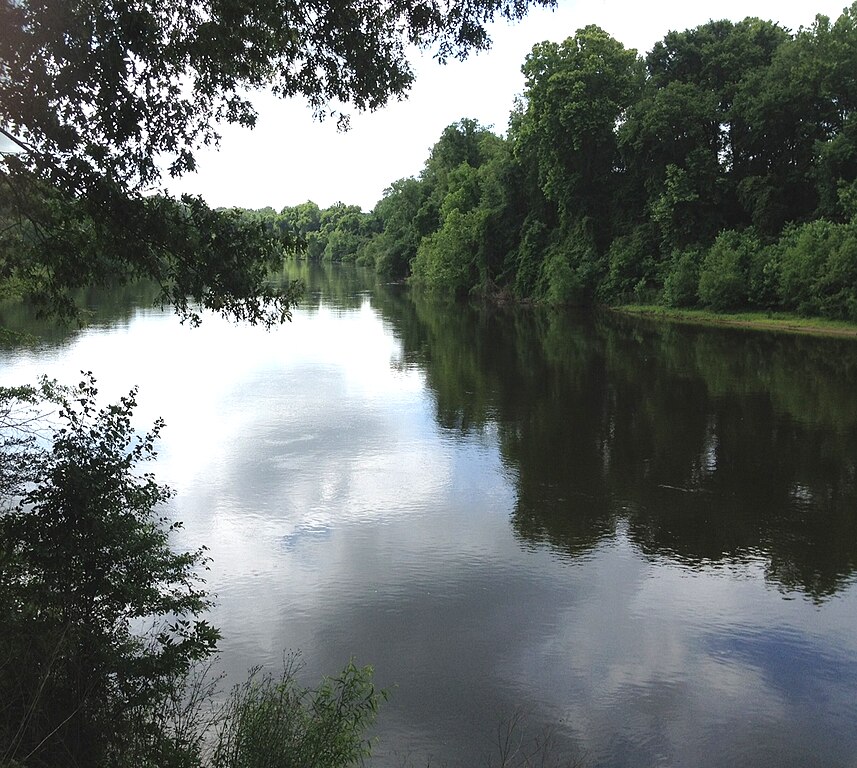
Wateree River
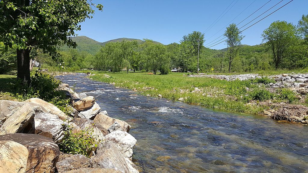
Catawba River
Congaree River

Monticello Reservoir
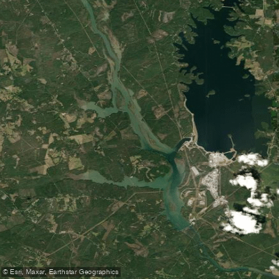
Parr Shoals Reservoir
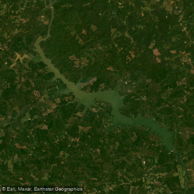
Wateree Lake
Explore South Carolina waters
Top paddling waters
Popular Cities
Loading popular cities...
Explore near Lake Murray
Access points
- Lake Murray Estates Boat Ramp
- Larry Koon Boat Ramp
- River Bend Boat Ramp
- Kempsons Bridge Boat Ramp
- Hilton Boat Ramp
- Windward Point Yacht Club Boat Ramp
- Murray Shores Boat Ramp
- Billy Dreher Island Boat Ramp
- Sunset Recreation Area Boat Ramp
- Lighthouse Marina Boat Ramp
- Nautical Boat Club Boat Ramp
- Rocky Point Boat Ramp
- All 30 spots
Nearby waters
More in South Carolina

Smarter Paddling Starts in the App.
Paddleways gives you everything you need to plan smarter, paddle better, and own every trip from first launch to takeout.