Lake Greenwood
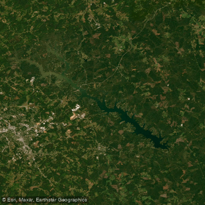
Lake Greenwood
- Boat Ramps
- 6
- Access Points
- 9
- Campsites
- 2
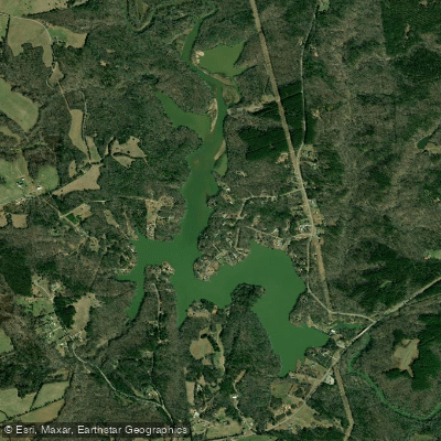
Lake Greenwood is a 11,400-acre reservoir in South Carolina, stretching 26 miles with 212 miles of shoreline. Fed by the Saluda and Reedy Rivers, it offers year-round paddling opportunities. The Lake Greenwood Blue Way, completed in 2013, provides a 34.1-mile aquatic trail for paddlers from Highway 25 bridge to Buzzards Roost Dam, with eight stops featuring informational kiosks.
Access points include Souls Harbor, which has a boat ramp but limited parking, and Lake Greenwood State Park, offering camping facilities and boat access. The lake's water levels are managed by Greenwood County, typically remaining near full even during droughts. A slight winter drawdown occurs to create fish spawning areas.
Paddlers can expect a mix of open lake paddling and narrower river-like sections, particularly when exploring upstream on the Saluda River. The water quality improves as you move away from the main lake into the river channels. Wildlife sightings may include various bird species and, historically, even bobcats.
The lake supports a variety of fish species, including largemouth bass, striped bass, crappie, and catfish. Anglers often fish from boats or docks. Water sports such as skiing and wakeboarding are popular, potentially creating boat traffic during peak seasons.
Lake Greenwood's climate is generally mild, with an average temperature of 68°F. Summer can bring heat and humidity, while spring and fall offer more comfortable conditions for paddling. The lake's creation between 1935 and 1940 played a significant role in local power generation and continues to be an important recreational and residential area.
Paddlers should be aware of potential hazards such as submerged rocks in shallower areas and increasing current when paddling upstream in the river sections. It's advisable to check water levels and weather conditions before embarking on a paddling trip.
Water access, boat ramps & amenities
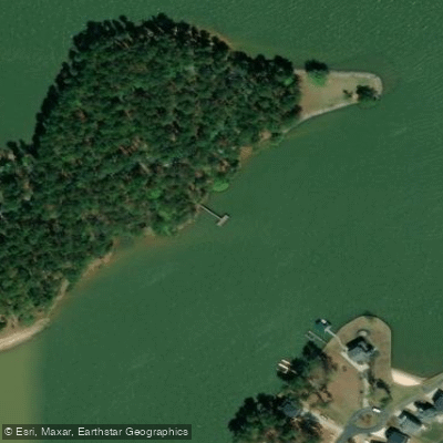
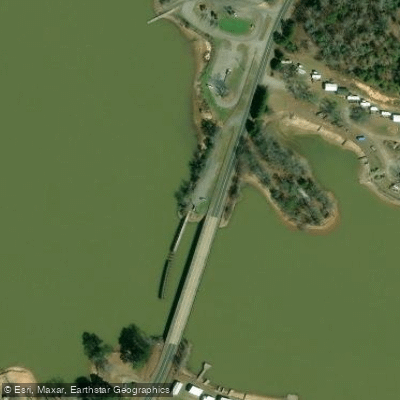
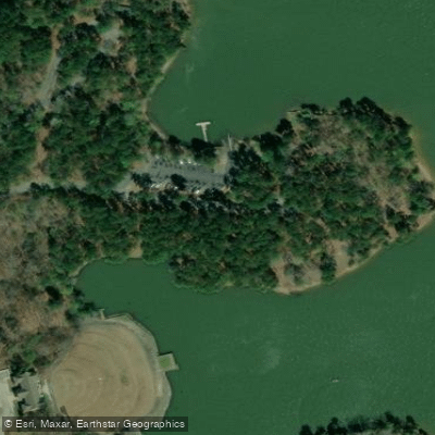
Learn how to get on Lake Greenwood. Uncover great paddling access points, boat ramps, and all the facilities you need for an unforgettable day on the water. Some locations shown may border or include private property. Always check property boundaries and applicable regulations before visiting. PaddleWays's Public & Private Land layer can help you plan your access with confidence.
Paddle smarter with real-time insights
Whether you're en route and conditions shift or you're looking for the best spot based on current flows, we enable you to make informed decisions on the fly.








Find Places to Paddle

Over 400,000 Places to Paddle
Every user gets free access to launch points, boat ramps, and public property parcels.


Water and weather conditions (10 day forecast)
See the best times to paddle Lake Greenwood and check the forecast before you go.
No forecast data available.
Paddling near Lake Greenwood

Saluda River
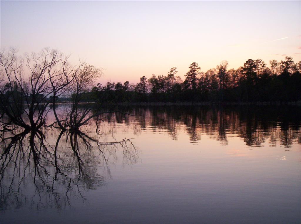
Lake Murray

Savannah River

Broad River
J. Strom Thurmond Reservoir
Reedy River
Richard B Russell Lake
Boyd Millpond
Hartwell Lake
Explore South Carolina waters
Top paddling waters
Popular Cities
Loading popular cities...
Explore near Lake Greenwood
Access points
Nearby waters
More in South Carolina

Smarter Paddling Starts in the App.
Paddleways gives you everything you need to plan smarter, paddle better, and own every trip from first launch to takeout.