Jackson Lake
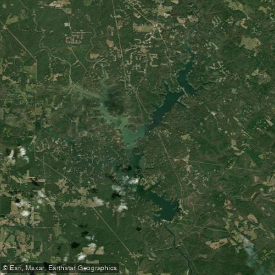
Jackson Lake
- Boat Ramps
- 1
- Access Points
- 2
- Campsites
- 0
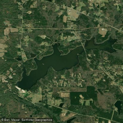
Jackson Lake, formed in 1910 by the Lloyd Shoals Dam on the Ocmulgee River, spans approximately 4,750 acres across Butts, Jasper, and Newton Counties in central Georgia. As one of the state's oldest reservoirs, the lake offers 135 miles of shoreline with a mix of calm waters, wooded coves, and scenic vistas ideal for paddling.
**Access Points and Facilities** Multiple boat ramps and marinas provide lake access, including Bear Creek Marina in Mansfield, which offers kayak rentals, a boat launch, camping facilities, and an on-site restaurant. Other access points are distributed around the lake's perimeter, making multi-day trips or varied launch locations feasible. The lake sits about an hour southeast of Atlanta, accessible via I-75 and I-20.
**Paddling Character** Jackson Lake features predominantly flatwater conditions well-suited for beginners and families. The reservoir's moderate size allows for both short recreational paddles and longer explorations of hidden inlets and quiet coves. Calm mornings provide excellent opportunities for peaceful water time, though afternoon winds can create choppier conditions. Paddlers should remain aware of motorized boat traffic, particularly during peak summer weekends, and respect designated "No Wake" zones.
**Scenery and Wildlife** The lake's lush forested shoreline supports diverse wildlife including herons, egrets, ospreys, and occasional bald eagles. Fish populations—largemouth bass, spotted bass, catfish, crappie, and bream—make the waters popular with anglers. The relatively undeveloped shoreline in certain sections provides a sense of wilderness despite the lake's proximity to metro Atlanta.
**Connections** Below the dam, the Ocmulgee River continues southward, offering additional paddling opportunities for those seeking moving water and shoal bass fishing. The Yellow River Water Trail to the north connects suburban Atlanta to Jackson Lake's headwaters, part of the broader Ocmulgee River Basin water trail system.
Water access, boat ramps & amenities
Learn how to get on Jackson Lake. Uncover great paddling access points, boat ramps, and all the facilities you need for an unforgettable day on the water. Some locations shown may border or include private property. Always check property boundaries and applicable regulations before visiting. PaddleWays's Public & Private Land layer can help you plan your access with confidence.
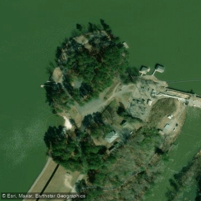
Paddle smarter with real-time insights
Whether you're en route and conditions shift or you're looking for the best spot based on current flows, we enable you to make informed decisions on the fly.








Find Places to Paddle

Over 400,000 Places to Paddle
Every user gets free access to launch points, boat ramps, and public property parcels.


Water and weather conditions (10 day forecast)
See the best times to paddle Jackson Lake and check the forecast before you go.
No forecast data available.
Paddling near Jackson Lake

Flint River
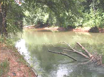
Ocmulgee River

Chattahoochee River
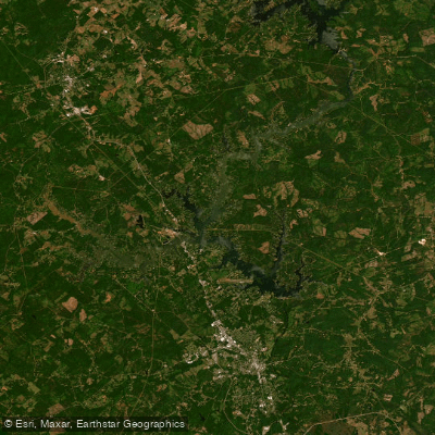
Lake Sinclair
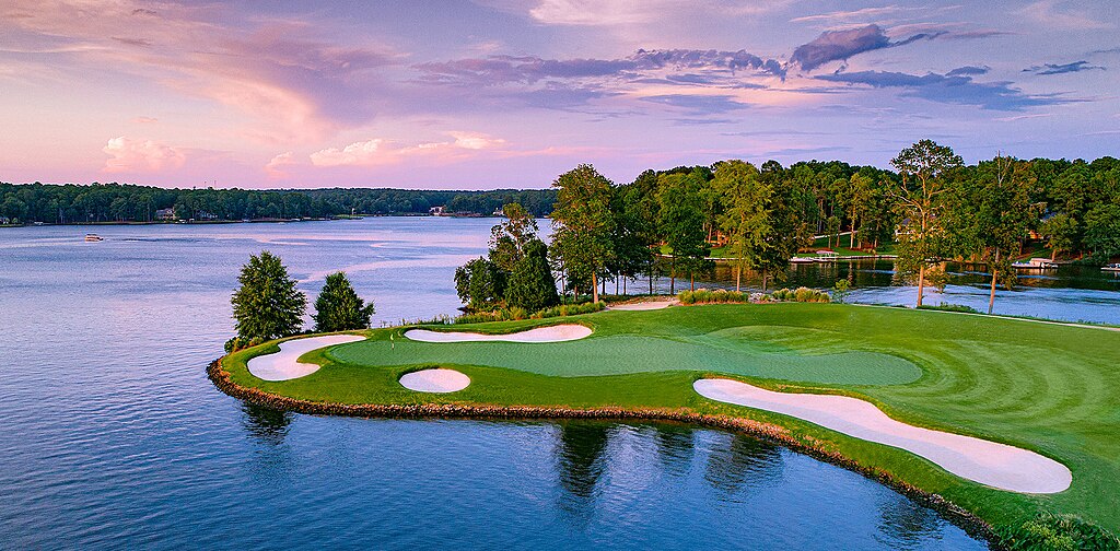
Lake Oconee
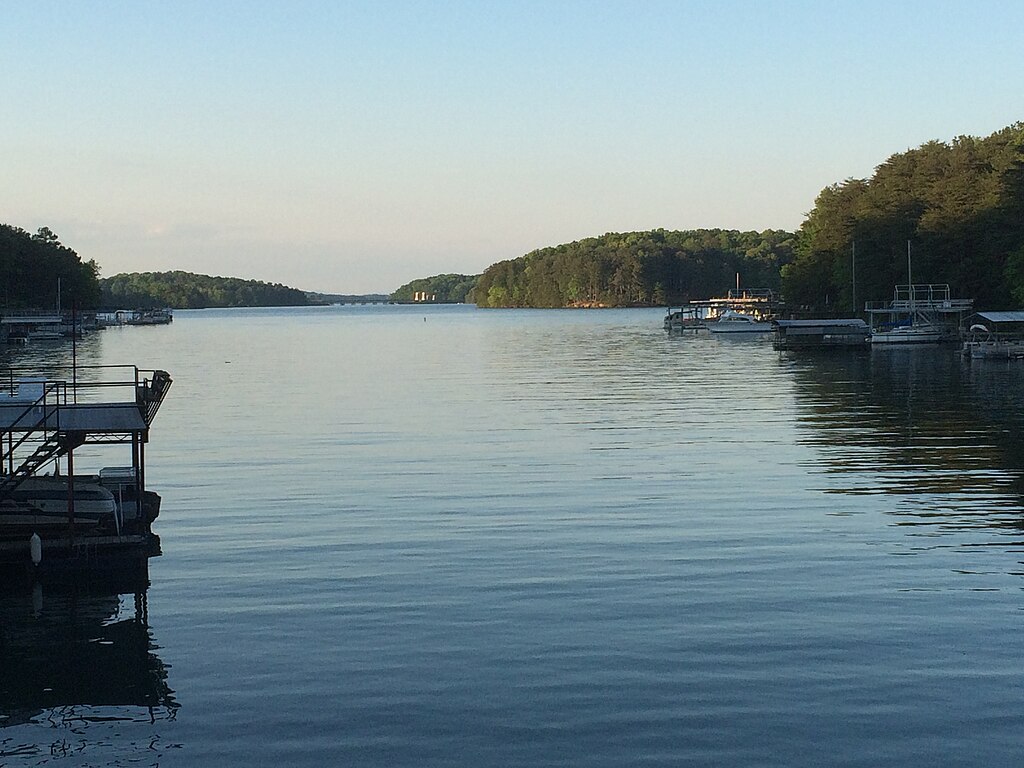
Lake Sidney Lanier
Harbins Lake
High Falls Lake
Heads Creek Reservoir
Explore Georgia waters
Top paddling waters
Popular Cities
Loading popular cities...
Explore near Jackson Lake
Access points
Nearby waters
More in Georgia

Smarter Paddling Starts in the App.
Paddleways gives you everything you need to plan smarter, paddle better, and own every trip from first launch to takeout.