Chief McIntosh Lake
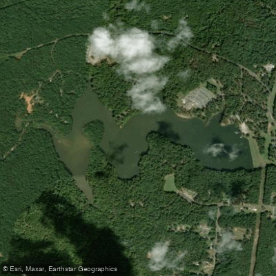
Chief McIntosh Lake
- Boat Ramps
- 1
- Access Points
- 1
- Campsites
- 0
Chief McIntosh Lake is located within Indian Springs State Park, one of the oldest state parks in the United States. The lake permits personal kayaks and canoes, offering a recreational paddling experience in a historically significant setting. The lake is named for Creek Chief William McIntosh, who signed a controversial treaty in 1825 deeding Indian lands to Georgia.
The lake serves as the headwaters for Big Sandy Creek, with a whitewater section beginning at the lake's outflow. Paddlers should note that while flatwater paddling is available on the lake itself, the creek below features Class III-IV whitewater for a short 0.51-mile stretch from the lake to GA Highway 42.
The surrounding park provides several amenities for paddlers, including camping facilities at Indian Springs State Park. Additional activities include hiking and biking trails, offering opportunities to extend your visit beyond paddling. A small museum, open seasonally, provides context about the area's Creek Indian heritage and CCC history.
The area experiences typical middle Georgia weather patterns, with summer highs in the 80s and winter highs in the 50s. March typically sees the most rainfall, while October is the driest month. For paddlers interested in the cultural aspects, the park features a historic stone Spring House built by the Civilian Conservation Corps, where visitors can sample the spring water that made this area a popular resort destination in the 1800s.
Access to the lake is through Indian Springs State Park, and fishing is permitted with appropriate licenses. The park's location near I-75 in middle Georgia makes it readily accessible for day trips.
Water access, boat ramps & amenities
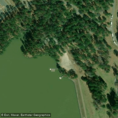
Learn how to get on Chief McIntosh Lake. Uncover great paddling access points, boat ramps, and all the facilities you need for an unforgettable day on the water. Some locations shown may border or include private property. Always check property boundaries and applicable regulations before visiting. PaddleWays's Public & Private Land layer can help you plan your access with confidence.
Paddle smarter with real-time insights
Whether you're en route and conditions shift or you're looking for the best spot based on current flows, we enable you to make informed decisions on the fly.








Find Places to Paddle

Over 400,000 Places to Paddle
Every user gets free access to launch points, boat ramps, and public property parcels.


Water and weather conditions (10 day forecast)
See the best times to paddle Chief McIntosh Lake and check the forecast before you go.
No forecast data available.
Paddling near Chief McIntosh Lake

Flint River
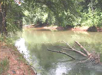
Ocmulgee River

Chattahoochee River
Lake Sinclair
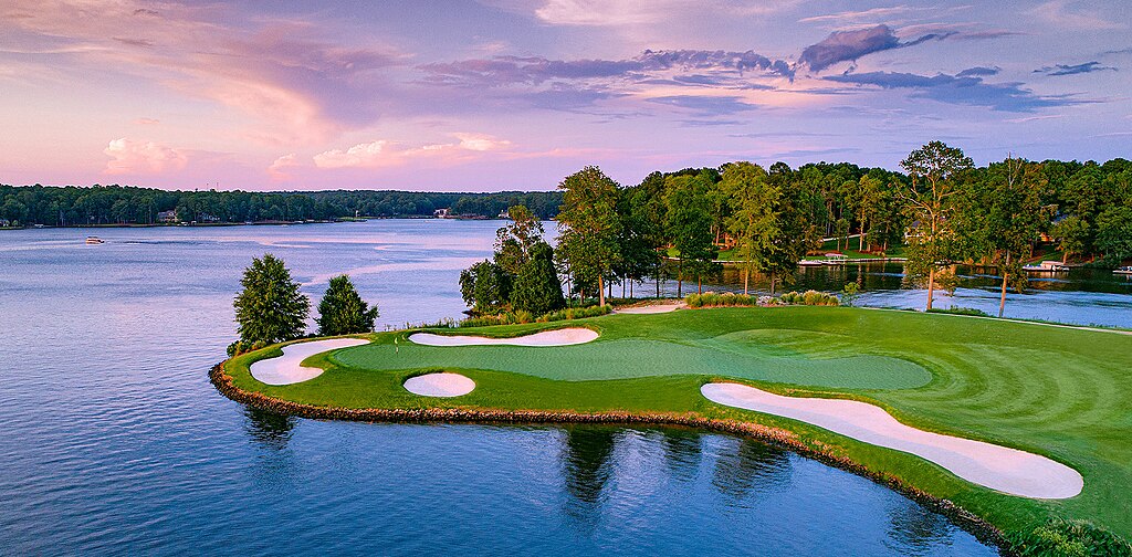
Lake Oconee
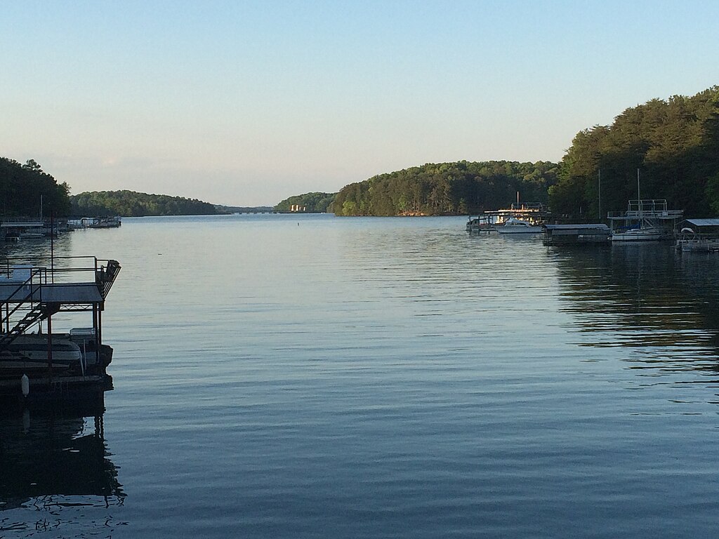
Lake Sidney Lanier
Harbins Lake
Jackson Lake
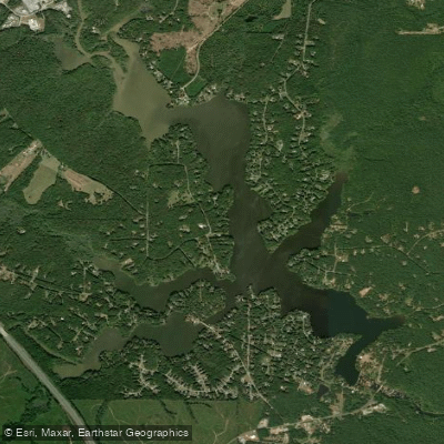
High Falls Lake
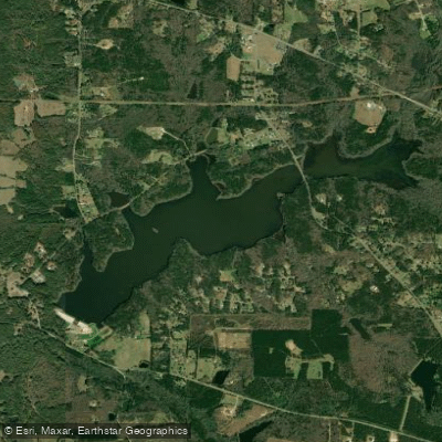
Heads Creek Reservoir
Explore Georgia waters
Top paddling waters
Popular Cities
Loading popular cities...
Explore near Chief McIntosh Lake
Access points
Nearby waters
More in Georgia

Smarter Paddling Starts in the App.
Paddleways gives you everything you need to plan smarter, paddle better, and own every trip from first launch to takeout.