Curated by PaddleWays
RouteClass II
- Distance
- 7.6 mi
- Paddle time
- ~2.5 hrs
- Best for
- Kayak, canoe
- Put-in → take-out
- Tallassee Shoals Access → Ben Burton Park Boat Ramp
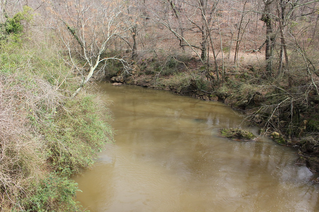
The Middle Oconee River is a significant waterway in Georgia, flowing generally southward through Athens-Clarke County before joining the North Oconee River to form the main stem of the Oconee River. This confluence occurs just south of Athens, creating a vital water source for the region. Paddling opportunities on the Middle Oconee range from calm flatwater sections to mild whitewater, making it suitable for a variety of skill levels.
The river offers two notable paddling sections: the urban stretch from Ben Burton Park to Dudley Park in Athens, and a more challenging section from Tallassee Shoals to Ben Burton Park. The Ben Burton Park to Dudley Park section is a pleasant 1-mile urban paddle, perfect for beginners and families. It offers a unique perspective of Athens and is part of the developing Oconee Rivers Water Trails system. The Tallassee Shoals to Ben Burton Park section, approximately 7.5 miles long, provides a more adventurous experience with Class II rapids and scenic shoals.
While the river can be paddled year-round, spring and fall typically offer the most comfortable conditions and optimal water levels. Summer paddling is popular but may require more careful navigation due to potentially lower water levels. The Middle Oconee's ecosystem supports a diverse array of flora and fauna, including great blue herons and various fish species. Fishing is permitted along the river, subject to state regulations and licensing requirements.
Key landmarks include Ben Burton Park, a 32-acre wildlife preserve with a 1.4-mile pedestrian trail, picnic areas, and the only public river access point on the Middle Oconee within Athens-Clarke County. Dudley Park, at the take-out of the urban section, offers another access point just past the Firefly Trail bridge.
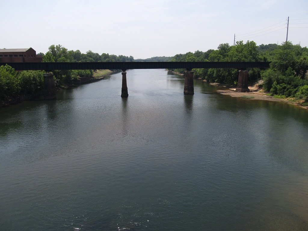
Historically, the Middle Oconee played a role in the region's development, with remnants of old railroad bridges visible along its course. During the Civil War, it was the site of a skirmish where Union cavalry attempted to cross the river.
Safety considerations include being aware of water levels, especially at shoals, and respecting private property along the banks. Paddlers should also be mindful of urban hazards in the Athens section. For those interested in multi-day trips, the Middle Oconee can be combined with the North Oconee and main Oconee rivers for longer journeys, though careful planning is required due to limited established campsites.
Access points are primarily concentrated in and around Athens, with Ben Burton Park serving as the main put-in for most paddlers. Future development of the Oconee Rivers Water Trails system promises to enhance accessibility and recreational opportunities along this scenic Georgia river.
Curated routes
Hand-picked by the PaddleWays team, with put-ins, take-outs, paddle times and the hazards along the way.
RouteClass II
Hazards
No paddler has reported a hazard here yet, so these are the dams, falls and big rapids on our map. Hazards change with flows and storms, so check them before you launch.
From the community
Nobody has shared a trip on Middle Oconee River yet. Paddle it, then tell the next paddler how it went.
See exactly where the public can get on and off the river. Launch points and boat ramps are paired with PaddleWays' public land data so you know where you can legally land.
Public shoreline
6%of the river's shoreline is public
Most of the riverbank is private. Launch, land and camp only at public access points.
Flows, weather and a route-by-route verdict, so you know which stretch of the Middle Oconee River is worth paddling today.
All Flow Stations
Live flows, marked hazards and fresh trip reports from paddlers who were just on the water, all in one place.





Every user gets free access to launch points, boat ramps, and public property parcels.
Loading popular cities...
PaddleWays gives you everything you need to plan smarter, paddle better, and own every trip from first launch to takeout.