Oostanaula River
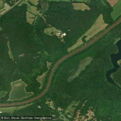
Oostanaula River
- Boat Ramps
- 3
- Access Points
- 5
- Campsites
- 0
The Oostanaula River is a scenic waterway in northwest Georgia, formed by the confluence of the Conasauga and Coosawattee rivers near Calhoun. It flows southwest for approximately 50 miles before joining the Etowah River in Rome to form the Coosa River. The Oostanaula is part of the larger Alabama-Coosa-Tallapoosa River Basin.
Paddling opportunities abound on the Oostanaula, with several popular sections offering flatwater to Class I conditions suitable for novice to intermediate paddlers. The most frequented stretch runs from Calhoun to Rome, featuring mostly calm waters with occasional mild shoals. Shorter trips can be planned between various access points, including GA 225, GA 136, GA 156, and GA 140. The river's difficulty remains consistently mild throughout its course, making it an excellent choice for families and beginners. However, all paddlers should be prepared for long stretches without developed access points.
Spring and fall offer the best paddling conditions, with moderate water levels and pleasant temperatures. Summer can be enjoyable but may require more frequent stops due to heat. Winter paddling is possible but should be approached with caution due to colder water temperatures.
The Oostanaula supports a diverse ecosystem, including several federally protected mussel species. Paddlers may spot various fish, turtles, and birds along the forested banks. The river corridor provides critical habitat for local wildlife.
Key points of interest include the New Echota State Historic Site near the river's origin, marking the former capital of the Cherokee Nation. Lay's Ferry, site of a significant Civil War crossing, offers another historical landmark along the route.
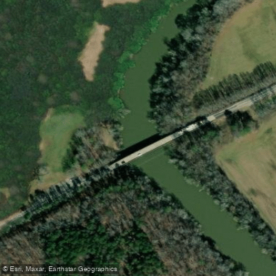
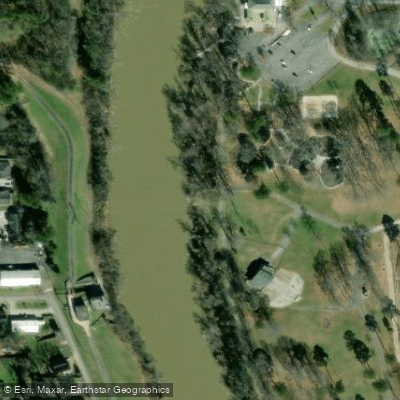
Primary access points are located near Calhoun, including boat ramps at GA 225, GA 136, and GA 156. Downstream, the GA 140 ramp provides access closer to Rome. The take-out at Ridge Ferry Park in Rome marks the river's end.
The Oostanaula holds great historical significance, having been an important waterway for the Cherokee people and later playing a role in Civil War campaigns. Today, it serves as a vital resource for recreation and wildlife conservation.
Paddlers should be aware of potential strainers and submerged obstacles, especially after high water events. Life jackets are required by law. Multi-day trips are possible, but paddlers must be self-sufficient as there are limited developed camping areas along the river.
For those seeking a longer adventure, the full 50-mile journey from Calhoun to Rome can be completed in 2-3 days, offering a immersive experience of this peaceful Georgia river.
Water access, boat ramps & amenities
Learn how to get on Oostanaula River. Uncover great paddling access points, boat ramps, and all the facilities you need for an unforgettable day on the water. Some locations shown may border or include private property. Always check property boundaries and applicable regulations before visiting. PaddleWays's Public & Private Land layer can help you plan your access with confidence.
Paddle smarter with real-time insights
Whether you're en route and conditions shift or you're looking for the best spot based on current flows, we enable you to make informed decisions on the fly.








Find Places to Paddle

Over 400,000 Places to Paddle
Every user gets free access to launch points, boat ramps, and public property parcels.


Water and weather conditions (10 day forecast)
See the best times to paddle Oostanaula River and check the forecast before you go.
OOSTANAULA RIVER AT RESACA, GA
All Flow Stations
Paddling near Oostanaula River
Etowah River
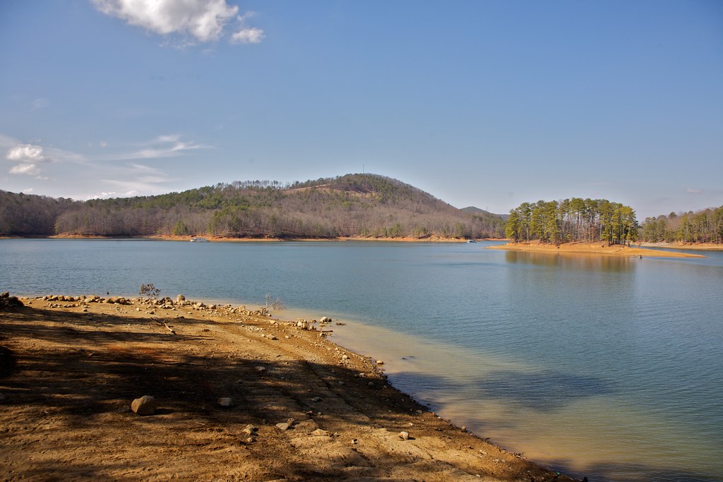
Allatoona Lake

Chattahoochee River
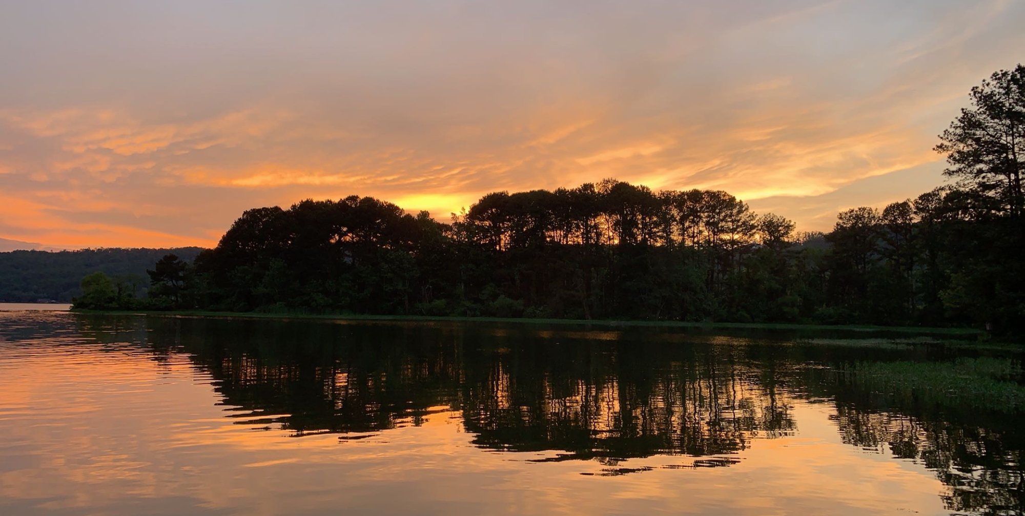
Coosa River
Weiss Lake
Selman Lakes
Lake Marvin
Conasauga River
Tallapoosa River
Explore Georgia waters
Top paddling waters
Popular Cities
Loading popular cities...
Explore near Oostanaula River
Access points
Nearby waters
More in Georgia

Smarter Paddling Starts in the App.
Paddleways gives you everything you need to plan smarter, paddle better, and own every trip from first launch to takeout.