Baraboo River
Baraboo River
- Boat Ramps
- 10
- Access Points
- 10
- Campsites
- 6
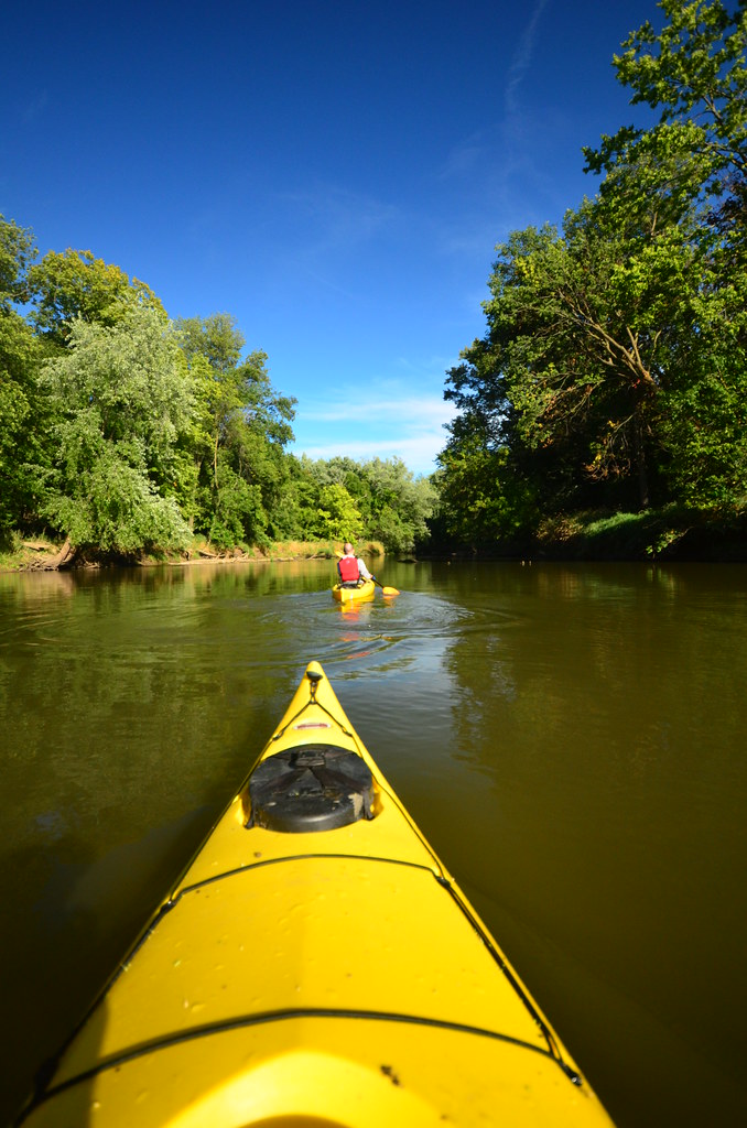
The Baraboo River is a scenic waterway that flows through south-central Wisconsin. Originating near Hillsboro, it meanders eastward for approximately 115 miles before joining the Wisconsin River near Portage. Major tributaries include the West Branch Baraboo River and Narrows Creek. The river offers diverse paddling opportunities suitable for a range of skill levels.
Popular sections include Rock Springs to North Freedom (8.2 miles), known for its picturesque rock outcrops, and North Freedom to West Baraboo (10-12 miles), which transitions from rural scenery to small-town landscapes. The Haskins Park to Highway 113 stretch in Baraboo (4.5 miles) is particularly enjoyable, featuring a bayou-like atmosphere and exciting rapids through downtown. Overall, the Baraboo River is primarily Class I-II, with mostly flatwater and gentle rapids. Some sections near Baraboo offer more challenging Class II rapids, but the river remains accessible to paddlers of various skill levels.
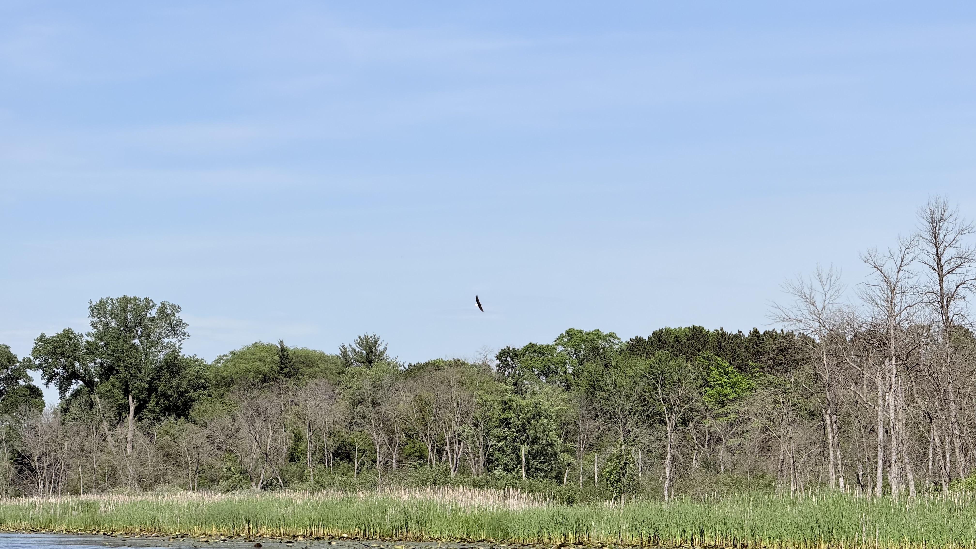
Spring and early summer typically provide the best water levels, though the river is often navigable through fall. The river corridor supports diverse wildlife, including bald eagles, herons, and various fish species. Paddlers can enjoy views of the Baraboo Bluffs, especially in the Rock Springs area, where impressive rock formations line the banks.
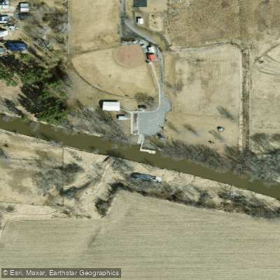
Key access points include Schultz Park near La Valle, Rock Springs Boat Launch, North Freedom Village Park, Haskins Park in Baraboo, and the Highway 113 landing in West Baraboo. These put-ins and take-outs are conveniently located near small towns, offering amenities for paddlers.
Historically, the Baraboo River played a crucial role in the region's development, powering mills and supporting local industries. Today, it's valued for its recreational opportunities and natural beauty. The river's restoration, including the removal of several dams, has improved its ecological health and paddling conditions.
Safety considerations include checking water levels, especially after heavy rains, and being aware of occasional logjams in less-traveled sections. Local outfitters like Baraboo River Canoe & Kayak Rentals offer equipment and guided trips for those new to the river. While most trips on the Baraboo are day excursions, its length and numerous access points allow for multi-day adventures for those seeking a more immersive river experience. The river's gentle nature and scenic beauty make it an excellent choice for paddlers looking to explore Wisconsin's diverse waterways.
Water access, boat ramps & amenities
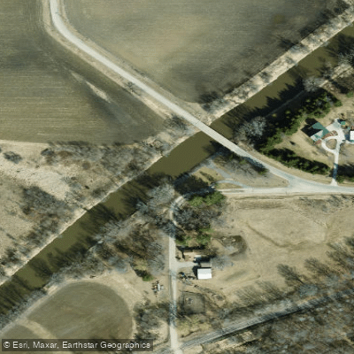
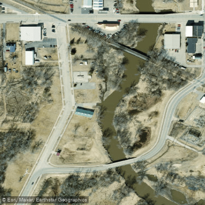
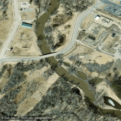
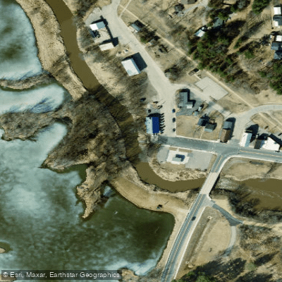
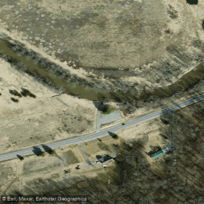
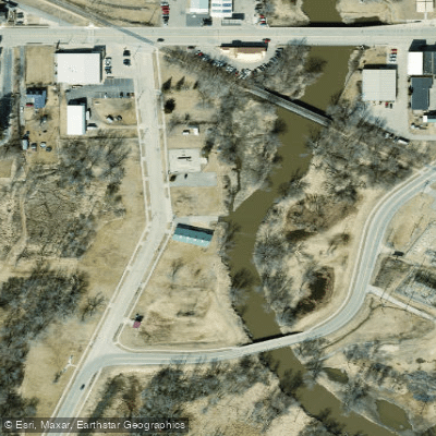
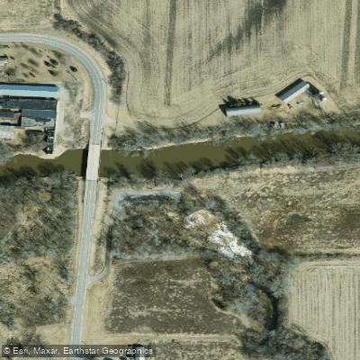
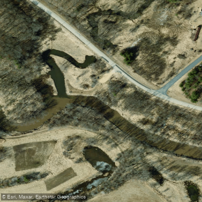
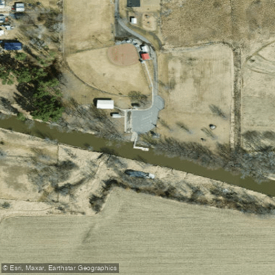
Learn how to get on Baraboo River. Uncover great paddling access points, boat ramps, and all the facilities you need for an unforgettable day on the water. Some locations shown may border or include private property. Always check property boundaries and applicable regulations before visiting. PaddleWays's Public & Private Land layer can help you plan your access with confidence.
Paddle smarter with real-time insights
Whether you're en route and conditions shift or you're looking for the best spot based on current flows, we enable you to make informed decisions on the fly.








Find Places to Paddle

Over 400,000 Places to Paddle
Every user gets free access to launch points, boat ramps, and public property parcels.


Water and weather conditions (10 day forecast)
See the best times to paddle Baraboo River and check the forecast before you go.
BARABOO RIVER NEAR BARABOO, WI
All Flow Stations
Paddling near Baraboo River
Lake Mendota

Lake Monona
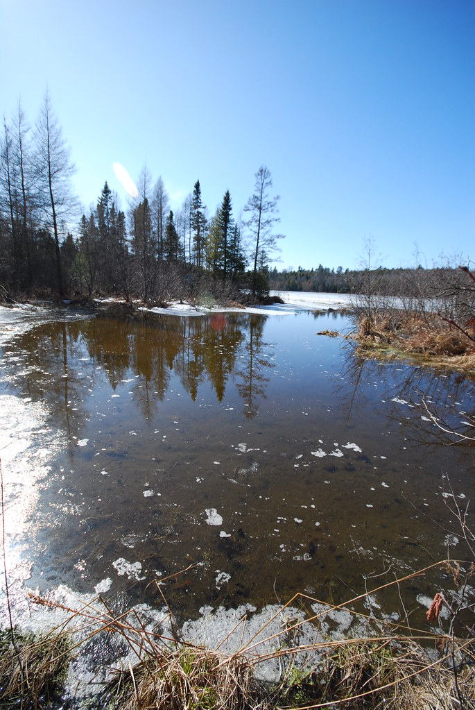
Lake Wisconsin
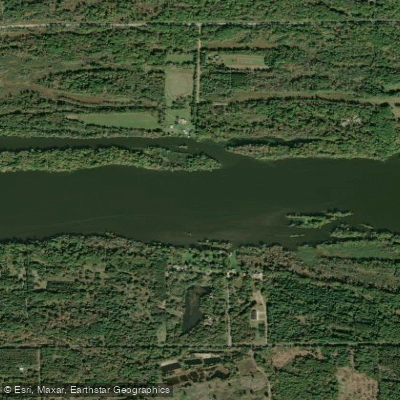
Wisconsin River
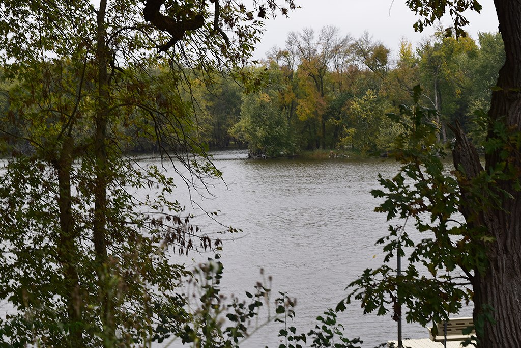
Yahara River
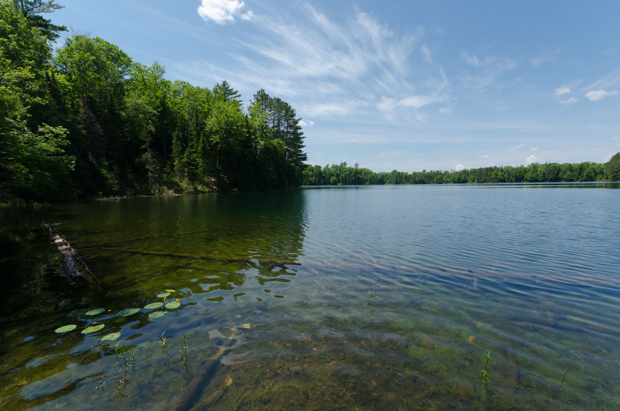
Rock Lake

Rock River
Fox River
Bark River
Explore Wisconsin waters
Top paddling waters
Popular Cities
Loading popular cities...
Explore near Baraboo River
Access points
Nearby waters
More in Wisconsin

Smarter Paddling Starts in the App.
Paddleways gives you everything you need to plan smarter, paddle better, and own every trip from first launch to takeout.