Curated by PaddleWays
RouteFlatwater
- Distance
- 10.7 mi
- Paddle time
- ~3.5 hrs
- Put-in → take-out
- Star Mill Access → 600 W Bridge Access
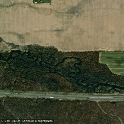
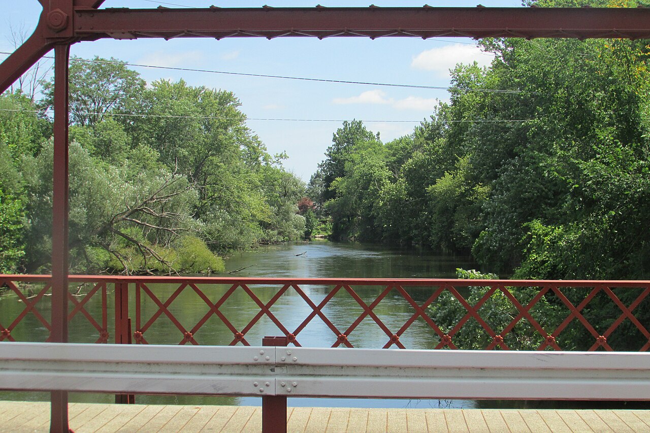
The Fawn River is a scenic waterway that flows through northeastern Indiana and southern Michigan. Originating near Orland, Indiana, the river meanders northward for approximately 44 miles before joining the St. Joseph River near Constantine, Michigan. The Fawn River offers paddlers a variety of experiences, from calm flatwater stretches to sections with Class I rapids and riffles. Most of the river is suitable for beginner to intermediate paddlers, with a few areas requiring more advanced skills. The most popular paddling sections are found between Greenfield Mills, Indiana and the Fawn River Mill Pond in Michigan, offering trips ranging from 4 to 10 miles.
Spring and early summer typically provide the best water levels for paddling, though the river is often navigable year-round. Fall colors make autumn an especially scenic time to explore the Fawn River. The river corridor supports diverse wildlife, including deer, waterfowl, and various fish species like smallmouth bass and pike. Key landmarks along the river include the historic Fawn River State Fish Hatchery near Orland, the Greenfield Mills Dam, and several old mill sites. The river passes through a mix of wooded areas, wetlands, and occasional farmland, providing a peaceful natural setting for paddlers.
Popular access points include Greenfield Mills and Nevada Mills in Indiana, as well as Watt Road, Big Hill Road, and Kime Road in Michigan. The towns of Orland, Indiana and Sturgis, Michigan serve as convenient base camps for Fawn River trips. The Fawn River played an important role in the region's early development, powering mills and supporting local communities. Today, it remains a valuable recreational resource and ecological corridor.
Paddlers should be aware of several dams along the river that require portaging. Log jams can also be an occasional hazard, particularly after high water events. Local outfitters in Shipshewana, Indiana and Sturgis, Michigan offer canoe and kayak rentals as well as shuttle services for day trips. For those seeking a multi-day adventure, it's possible to paddle nearly the entire length of the Fawn River over 2-3 days, camping at designated sites along the way. This allows paddlers to fully immerse themselves in the river's serene beauty and changing character as it flows from Indiana into Michigan.
Curated routes
Hand-picked by the PaddleWays team, with put-ins, take-outs, paddle times and the hazards along the way.
RouteFlatwater
RouteFlatwater
Hazards
No paddler has reported a hazard here yet, so these are the dams, falls and big rapids on our map. Hazards change with flows and storms, so check them before you launch.
From the community
Real trips from PaddleWays paddlers: which route they ran, how the flows were, and what to watch for.
Loading trip reports
D J.
Fawn river run 2.5 hour
Liz M. •
Hiw difficult is the Fawn River from Fawn River Kayaking to Howe?
See exactly where the public can get on and off the river. Launch points and boat ramps are paired with PaddleWays' public land data so you know where you can legally land.
Public shoreline
1%of the river's shoreline is public
Most of the riverbank is private. Launch, land and camp only at public access points.
Flows, weather and a route-by-route verdict, so you know which stretch of the Fawn River is worth paddling today.
No forecast data available.
Live flows, marked hazards and fresh trip reports from paddlers who were just on the water, all in one place.





Every user gets free access to launch points, boat ramps, and public property parcels.

Loading popular cities...
PaddleWays gives you everything you need to plan smarter, paddle better, and own every trip from first launch to takeout.