Killbuck Creek
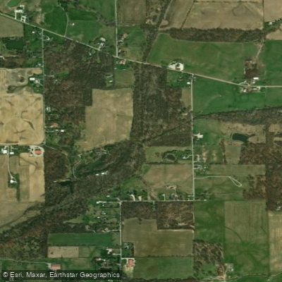
Killbuck Creek
- Boat Ramps
- 1
- Access Points
- 1
- Campsites
- 7
Killbuck Creek in Indiana is a modest waterway that originates in Delaware County and flows southward through Madison County before joining the West Fork of the White River near Anderson. This tributary of the White River system plays a vital role in the local watershed, draining portions of east-central Indiana. The section near Anderson offers potential for exploration by experienced paddlers comfortable with navigating lesser-known waterways. The creek's difficulty is generally considered mild, likely falling into Class I category, making it suitable for intermediate canoeists and kayakers with proper preparation.
Seasonal fluctuations significantly impact Killbuck Creek's paddling conditions. Spring typically sees higher water levels due to snowmelt and rainfall, while summer months may result in shallower sections requiring occasional portaging. Fall can offer a pleasant balance of water levels and scenic foliage. Paddlers should always check current conditions and water levels before embarking, as flash flooding can occur after heavy rains.
The riparian corridor along Killbuck Creek supports a variety of flora and fauna typical of central Indiana's ecosystems. Paddlers may encounter species such as great blue herons, various waterfowl, and potentially beavers or muskrats. The surrounding vegetation includes a mix of hardwood forests and occasional wetland areas.
A key landmark for paddlers is the USGS monitoring station (03348100) located on Killbuck Creek near Anderson. This station, operational since 1954, provides valuable data on water levels and flow rates, which can be crucial for planning safe paddling trips.
The primary access point for paddling Killbuck Creek is near Anderson, though specific put-in and take-out locations are not well-documented. Paddlers should contact local authorities or paddling groups for current information on access points and property permissions.
Historically, Killbuck Creek has played a role in the development of Madison County, particularly in relation to Anderson's growth. The creek's name likely derives from Native American heritage, though specific origins are unclear.
Safety considerations for Killbuck Creek include being prepared for potentially swift currents during high water periods, watching for logjams or strainers, and respecting private property along the banks. As with all waterways in Indiana, life jackets are required by law.
While multi-day trips on Killbuck Creek itself are not common due to its size, adventurous paddlers could potentially combine a Killbuck Creek excursion with a longer journey on the White River for a more extensive paddling experience in east-central Indiana.
Water access, boat ramps & amenities
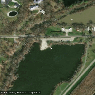
Learn how to get on Killbuck Creek. Uncover great paddling access points, boat ramps, and all the facilities you need for an unforgettable day on the water. Some locations shown may border or include private property. Always check property boundaries and applicable regulations before visiting. PaddleWays's Public & Private Land layer can help you plan your access with confidence.
Paddle smarter with real-time insights
Whether you're en route and conditions shift or you're looking for the best spot based on current flows, we enable you to make informed decisions on the fly.








Find Places to Paddle

Over 400,000 Places to Paddle
Every user gets free access to launch points, boat ramps, and public property parcels.


Water and weather conditions (10 day forecast)
See the best times to paddle Killbuck Creek and check the forecast before you go.
No forecast data available.
Paddling near Killbuck Creek

White River
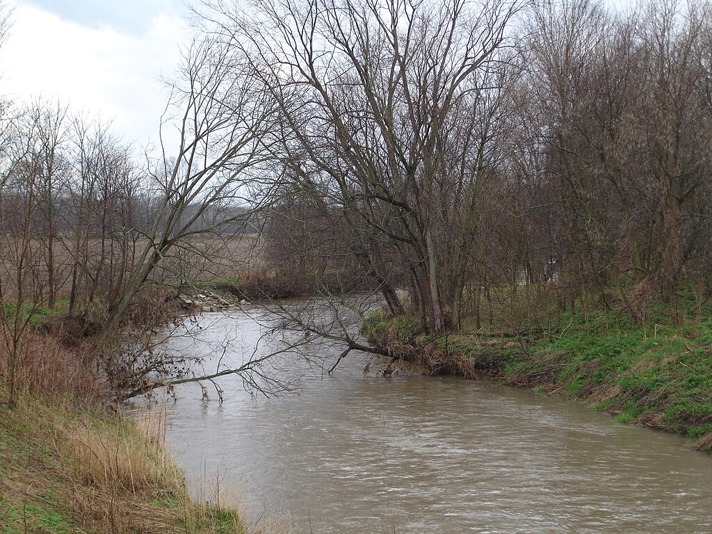
Big Blue River
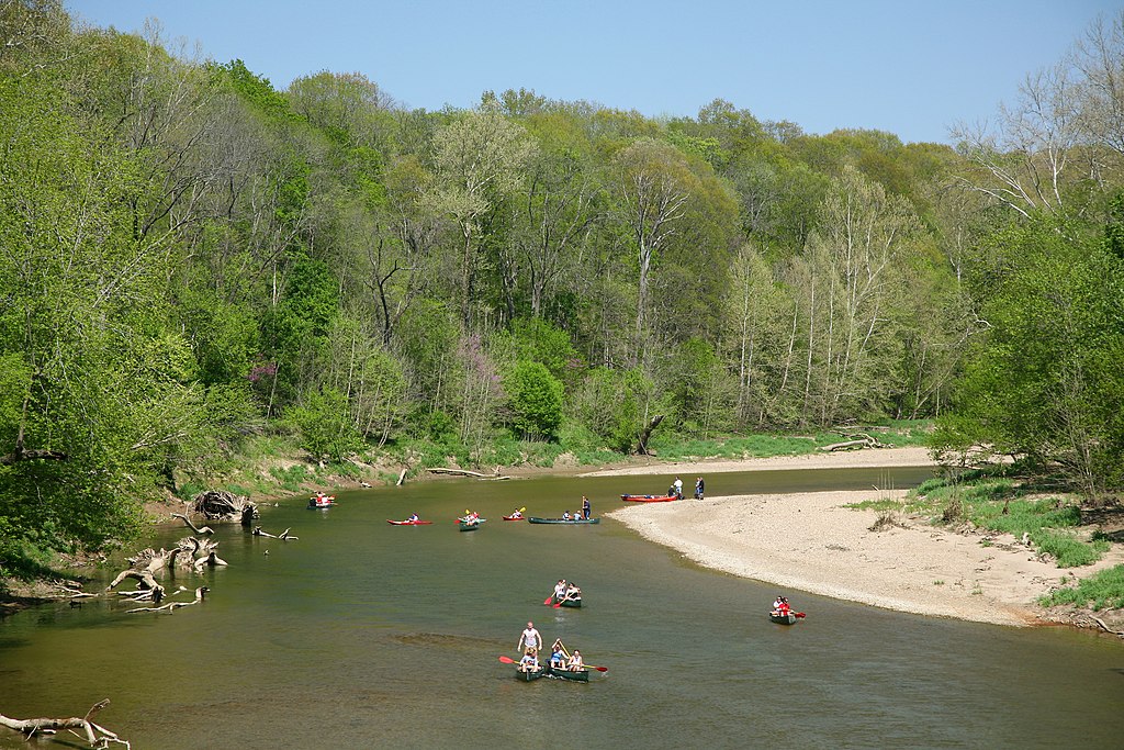
Sugar Creek
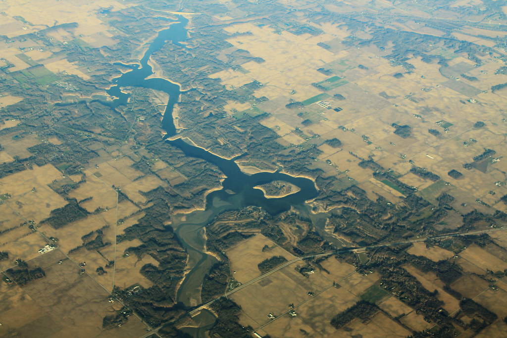
Salamonie Lake
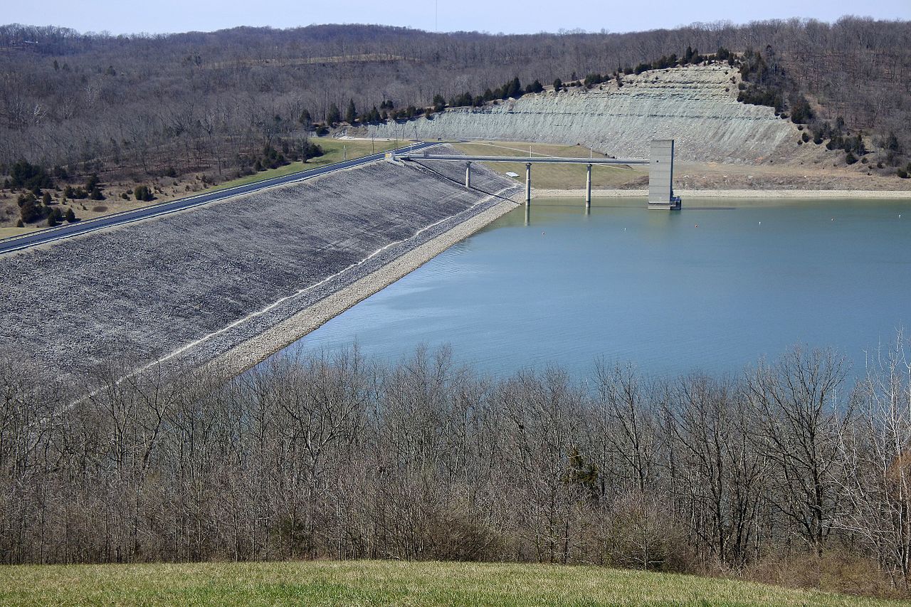
Brookville Lake
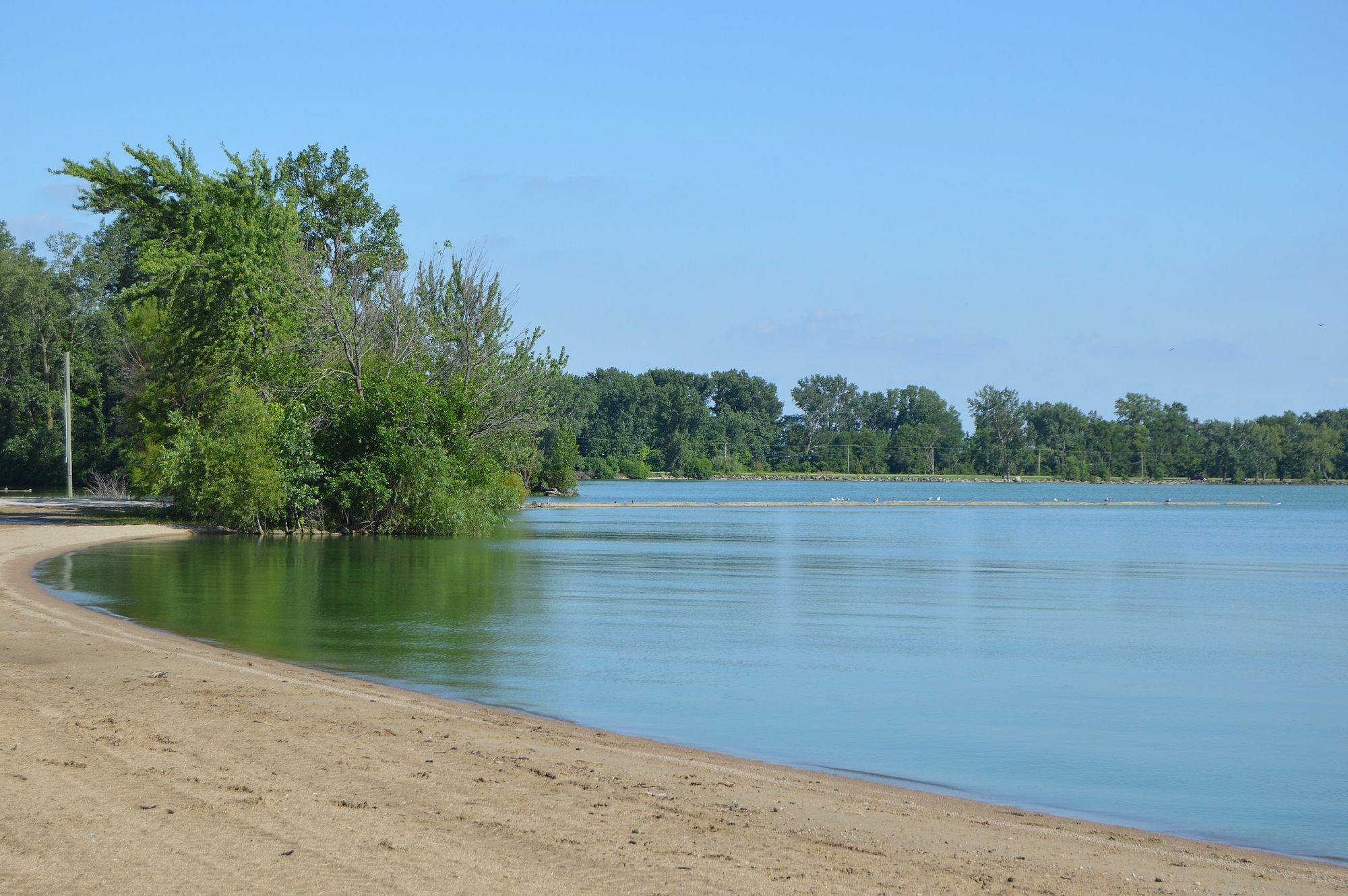
Grand Lake
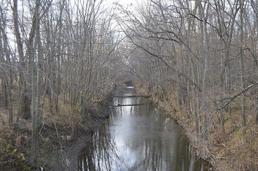
Stillwater River
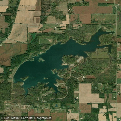
Summit Lake Reservoir
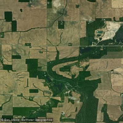
Flatrock River
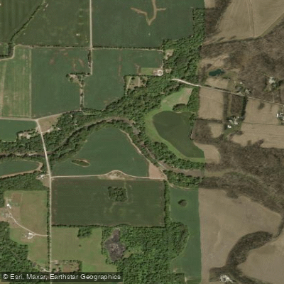
Mississinewa River
Explore Indiana waters
Top paddling waters
Popular Cities
Loading popular cities...
Explore near Killbuck Creek
Access points
Nearby waters
More in Indiana

Smarter Paddling Starts in the App.
Paddleways gives you everything you need to plan smarter, paddle better, and own every trip from first launch to takeout.