Galien River
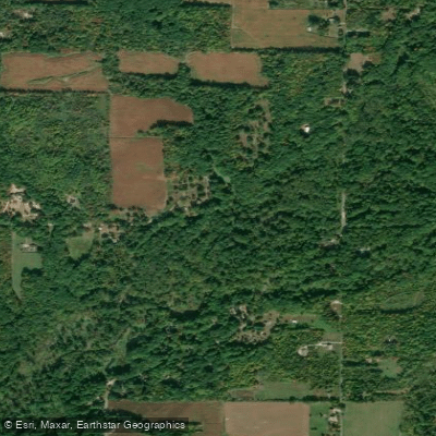
Galien River
- Boat Ramps
- 4
- Access Points
- 4
- Campsites
- 3
The Galien River, a modest yet ecologically significant waterway in southwestern Michigan, originates near the Indiana border and flows northwesterly for approximately 30 miles before emptying into Lake Michigan at New Buffalo. This river system drains a watershed of about 82 square miles, primarily consisting of agricultural lands and forested areas. The lower reaches of the Galien River offer excellent paddling opportunities, particularly within the unique Galien River Marsh—a rare Great Lakes coastal wetland. The most popular paddling section stretches about 6 miles from Glassman Park in New Buffalo to the river's mouth at Lake Michigan, passing through this diverse ecosystem.
Paddlers can expect mostly flatwater conditions with occasional Class I-II rapids, making it suitable for beginners to intermediate kayakers and stand-up paddleboarders. The river's difficulty can vary based on water levels and weather conditions, so checking local reports before embarking is advisable. Spring and early summer typically offer the best paddling conditions, with higher water levels and lush vegetation. However, the river is generally navigable from late spring through early fall, providing picturesque autumn colors in September and October.
The Galien River Marsh hosts a rich array of flora and fauna. Paddlers may encounter great blue herons, egrets, and various waterfowl. The surrounding wetlands feature native plants like cattails, wild rice, and water lilies. Lucky observers might spot white-tailed deer or muskrats along the shoreline.
Key landmarks include the Galien River County Park's canopy walkway, offering a unique elevated view of the marsh. As paddlers approach Lake Michigan, they'll pass upscale homes with private boat slips before reaching the New Buffalo Harbor. Primary access points include Glassman Park and the New Buffalo City Beach, both located in New Buffalo. These launch sites provide easy access for day trips and are well-equipped with parking facilities.
Historically, the Galien River played a role in the region's logging industry and later became an important part of Michigan's Harbor Country, contributing to the area's recreational appeal. Safety considerations include being aware of changing weather conditions on Lake Michigan, which can affect the river's lower sections. Paddlers should also be mindful of motorboat traffic near the harbor area. While multi-day trips are not common due to the river's length, the Galien River serves as an excellent component of a broader exploration of Michigan's southwestern coast, offering a tranquil paddling experience through a rare and beautiful ecosystem.
Water access, boat ramps & amenities
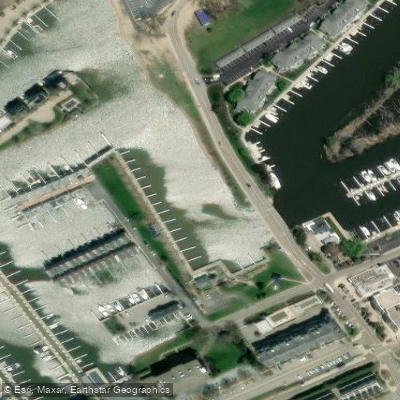
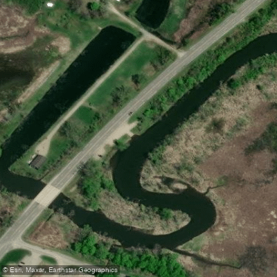
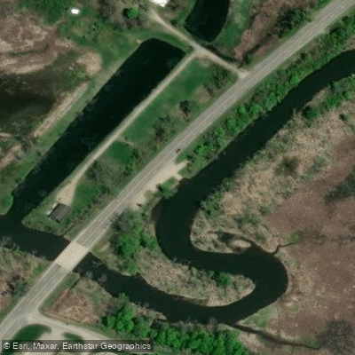
Learn how to get on Galien River. Uncover great paddling access points, boat ramps, and all the facilities you need for an unforgettable day on the water. Some locations shown may border or include private property. Always check property boundaries and applicable regulations before visiting. PaddleWays's Public & Private Land layer can help you plan your access with confidence.
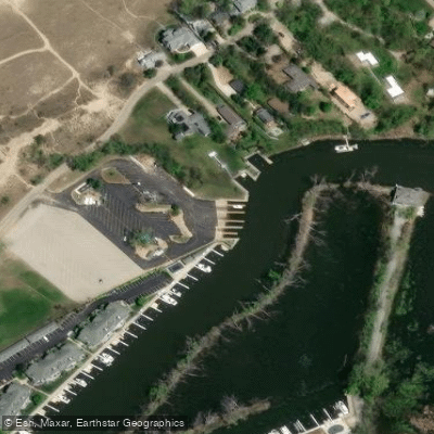
Paddle smarter with real-time insights
Whether you're en route and conditions shift or you're looking for the best spot based on current flows, we enable you to make informed decisions on the fly.








Find Places to Paddle

Over 400,000 Places to Paddle
Every user gets free access to launch points, boat ramps, and public property parcels.


Water and weather conditions (10 day forecast)
See the best times to paddle Galien River and check the forecast before you go.
GALIEN RIVER NEAR SAWYER, MI
Paddling near Galien River

Lake Michigan
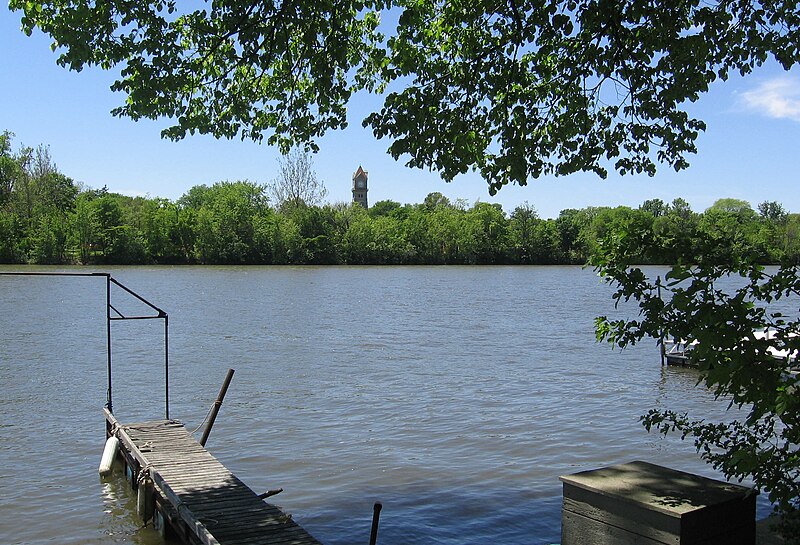
Kankakee River
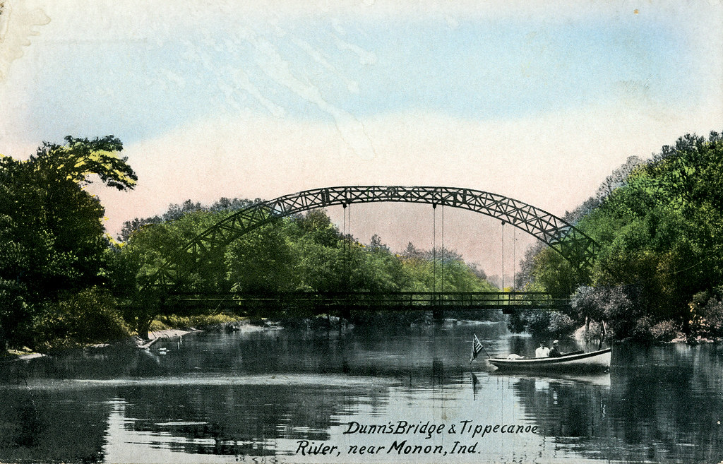
Tippecanoe River
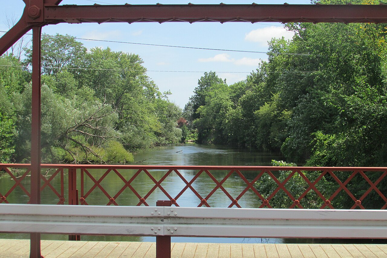
Elkhart River
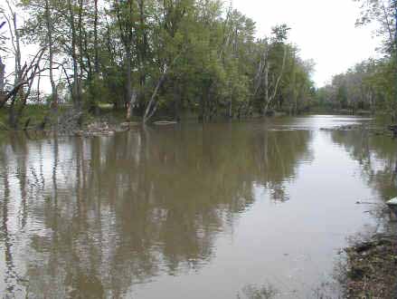
Iroquois River
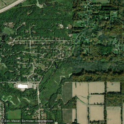
East Arm Little Calumet River
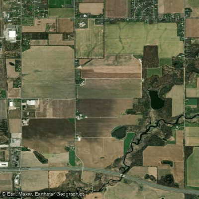
Saint Joseph River
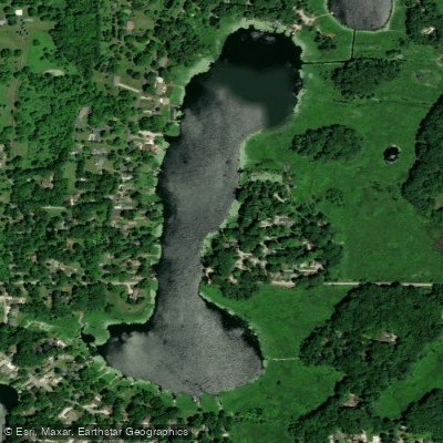
Long Lake
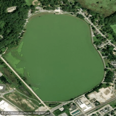
Clear Lake
Explore Michigan waters
Top paddling waters
Popular Cities
Loading popular cities...
Explore near Galien River
Access points
Nearby waters
More in Michigan

Smarter Paddling Starts in the App.
Paddleways gives you everything you need to plan smarter, paddle better, and own every trip from first launch to takeout.