Worster Lake
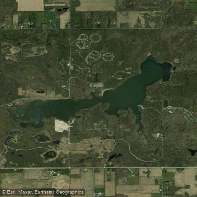
Worster Lake
- Boat Ramps
- 2
- Access Points
- 2
- Campsites
- 1
Worster Lake is a 327-acre body of water located within Potato Creek State Park in north-central Indiana, approximately 12 miles southwest of South Bend. No outboard motors are allowed on the water, offering a peaceful paddling experience without the challenges of river currents.
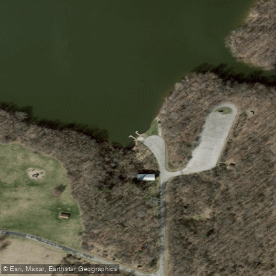
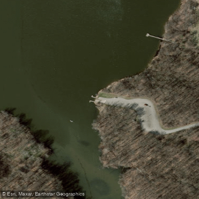
The park provides kayak, canoe, rowboat, and pedal boat rentals during the warm season. Multiple access points exist around the lake, including a boat launch near the southern shore at the Whispering Winds Picnic Area. A paved bike trail connects to this launch area, making gear transport convenient.
Paddlers can explore diverse shoreline habitats including mature woodlands, restored prairies, and wetlands. The lake's environment supports abundant wildlife viewing opportunities, with various bird species including bald eagles, ospreys, and great blue herons frequently spotted around the water. Dense woods line much of the shoreline, creating a natural backdrop for paddling adventures.
Several trails skirt the lake's edges, including Trail 1 (2.2 miles) which provides scenic views while passing through maple and oak-hickory forest. An observation deck accessible from Trail 3 offers an elevated perspective of the lake.
The lake was created in 1977 by damming Potato Creek and has historical significance as an area once used by Native peoples for hunting and fishing. The first European settlers arrived in the 1830s. Today, the lake serves as the centerpiece of the park's recreational activities, with a beach area that paddlers should be aware of during peak summer months.
For those planning multi-activity visits, the park offers extensive trail systems, including a 3.3-mile paved bicycle trail and multiple hiking paths that provide different perspectives of the lake. Paddlers can expect to share the water with anglers pursuing bass, bluegill, crappie, and catfish.
Water access, boat ramps & amenities
Learn how to get on Worster Lake. Uncover great paddling access points, boat ramps, and all the facilities you need for an unforgettable day on the water. Some locations shown may border or include private property. Always check property boundaries and applicable regulations before visiting. PaddleWays's Public & Private Land layer can help you plan your access with confidence.
Paddle smarter with real-time insights
Whether you're en route and conditions shift or you're looking for the best spot based on current flows, we enable you to make informed decisions on the fly.








Find Places to Paddle

Over 400,000 Places to Paddle
Every user gets free access to launch points, boat ramps, and public property parcels.


Water and weather conditions (10 day forecast)
See the best times to paddle Worster Lake and check the forecast before you go.
No forecast data available.
Paddling near Worster Lake
Kankakee River
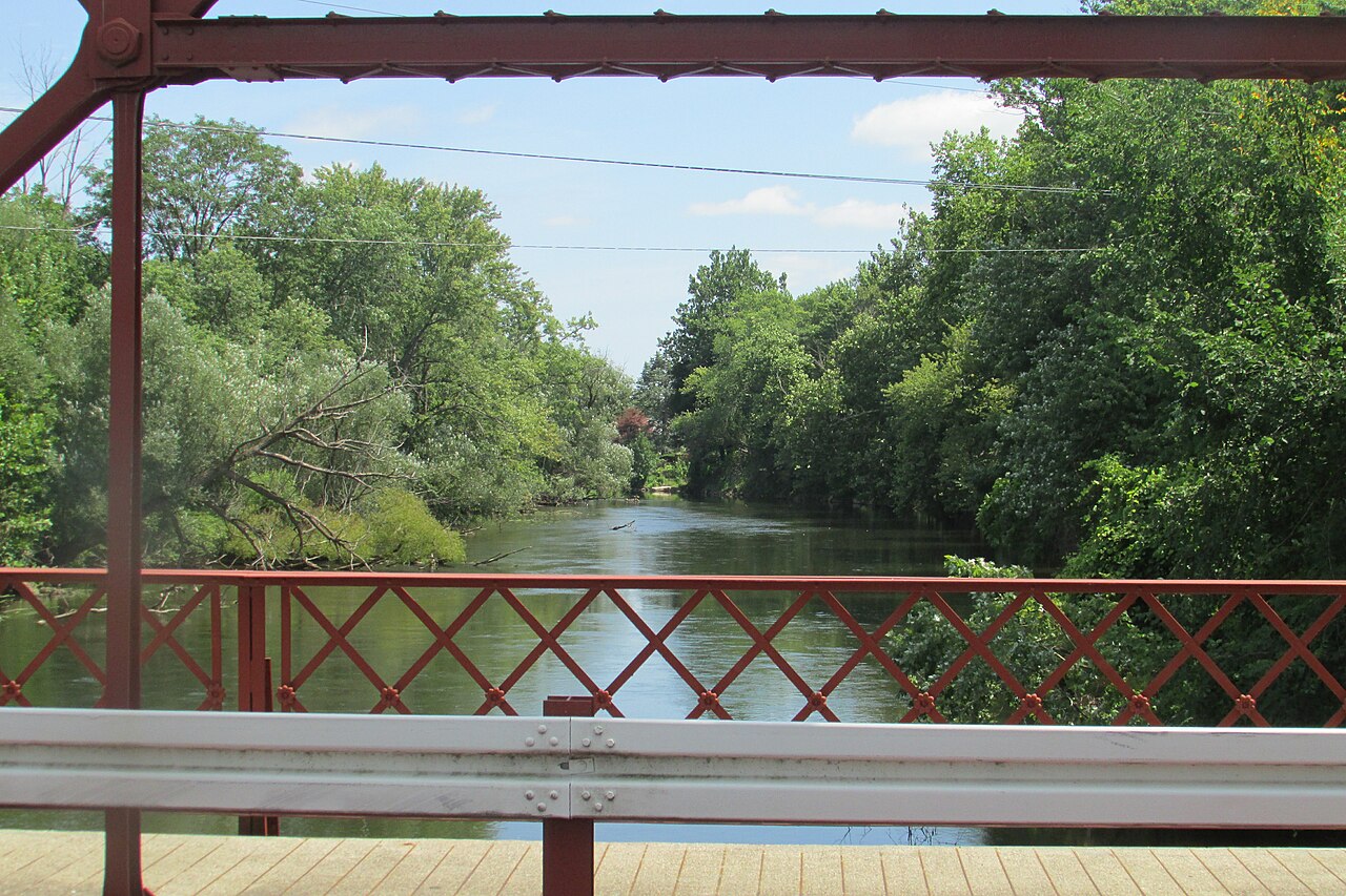
Elkhart River

Lake Michigan
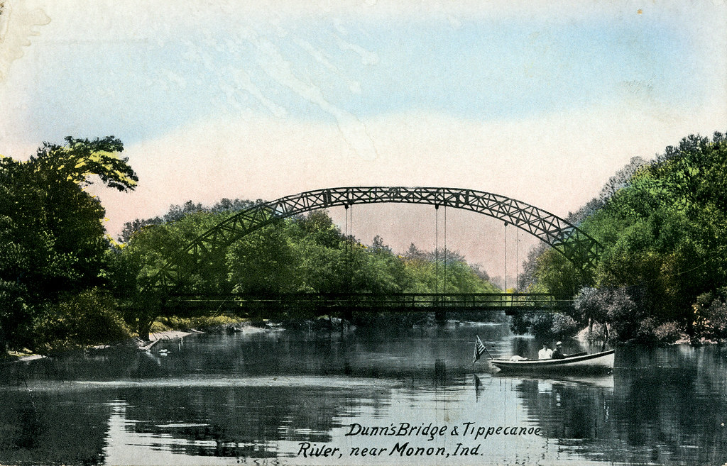
Tippecanoe River
Saint Joseph River
Yellow River
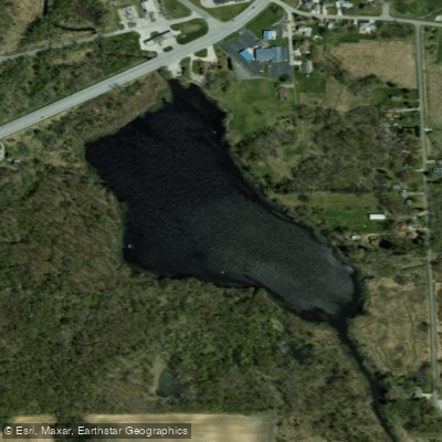
Pleasant Lake
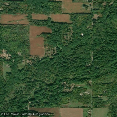
Galien River
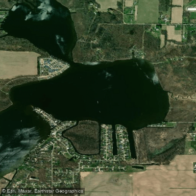
Juno Lake
Explore Indiana waters
Top paddling waters
Popular Cities
Loading popular cities...
Explore near Worster Lake
Access points
Nearby waters
More in Indiana

Smarter Paddling Starts in the App.
Paddleways gives you everything you need to plan smarter, paddle better, and own every trip from first launch to takeout.